Mount Crandell via west slopes Scramble on 14-Jul-2022
One of the nice things about the Waterton area is the number of long ridgewalks that are available. Ascending Mt. Crandell via the west ridge and returning the same way, provides over 5 km of walking above treeline (even back when there were trees). It turned out to be an excellent trip for a hot day, as we quickly got onto the open ridge where the wind provided relief from the heat and the mosquitoes.
We started from the north as that approach to Crandell Lake used to be through nice lush forest. The burn has opened things up, however, and the character of the area has changed. The other trip up Mt. Crandell that day - coordinated by Carl on Yolande's behalf - started from the south, a shorter access. Their objective was to traverse the peak, coming out the east ridge.
The trail up the west ridge has been well-used and is easy to follow. It avoids any scrambling, although some members chose lines to get some rock work in.
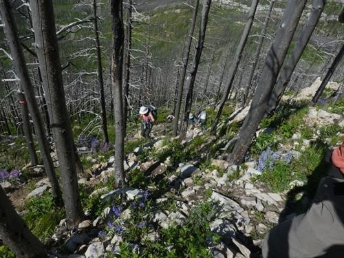
the trail up
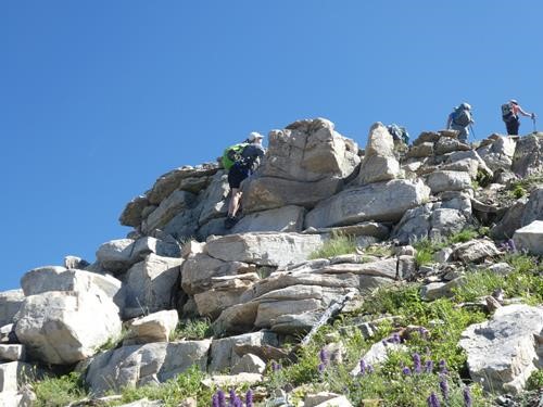
Teresa getting some scrambling in
The trail leads to a high point on the west ridge. From there we could see the long curving ridge to the summit.

the long ridge to the summit
The other team could be seen ahead of us.
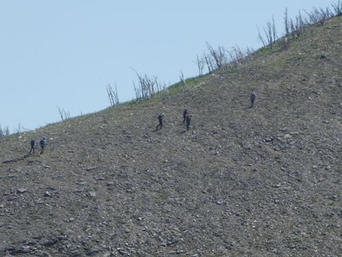
Carl's group on the last climb to the summit
At the summit we had lunch, enjoyed the views and visited with Carl's group.
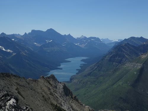
view south of Waterton Lake and Mt. Cleveland toward the left
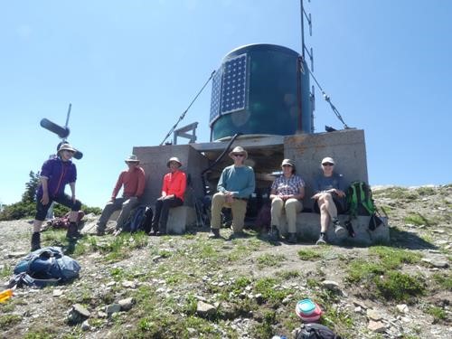
lunch on the summit
They reported seeing three grizzlies on the ridge, so on the way back we stayed close together.
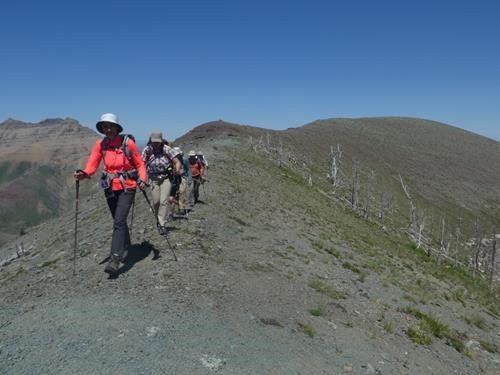
descending in close formation
Many animals were observed including a group of Bighorn Sheep rams on the way up, a groups of ewes and lambs on the way down, and a deer in the middle of the trail around Crandell Lake.
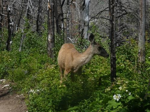
Mule deer on the path
The trip took under 8 hrs and was 13.75 km with 1140 m of elevation gain.
Thanks to participants: Jim,Dean,Jeannette,Nardi,Teresa,Dana - Bill (C/S/P).
Surprisingly, the flowers were sparse on the open ridge. However, lower down there were some terrific displays.
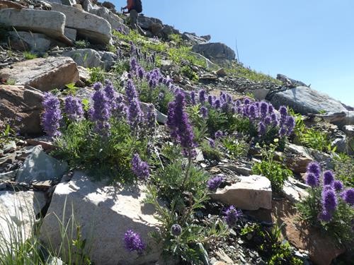
Scorpionweed (Phacelia sericea)
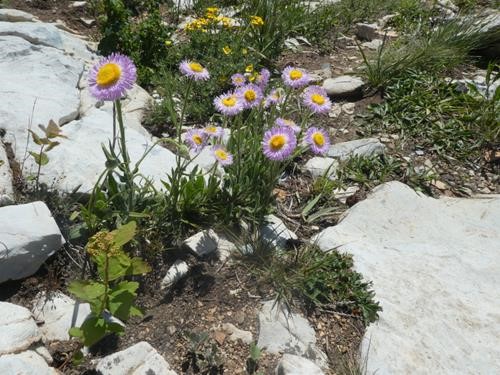
Tufted Fleabane (Erigeron caespitosus)
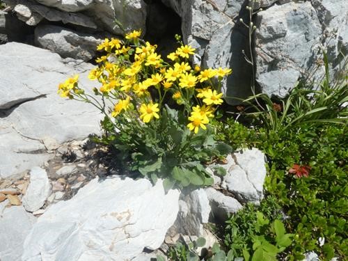
Rocky Mountain Groundsel (Packera streptanthifolia)
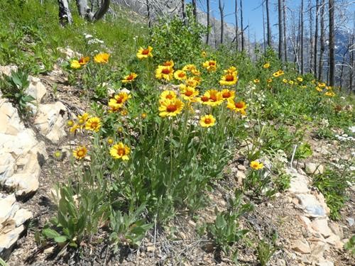
Gaillardia (Gaillardia aristata)
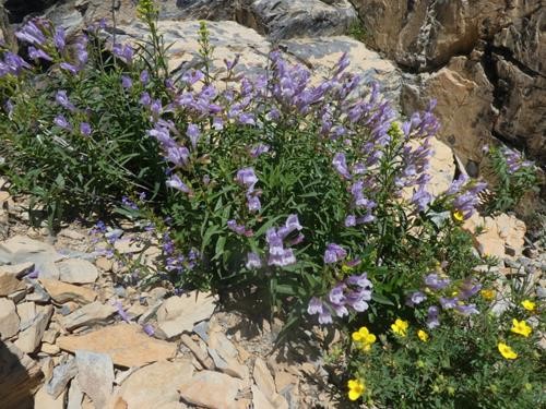
Lyall's Penstemon (Penstemon lyallii)