Moose Mountain's Peaks from the West Scramble on 21-Oct-2021
This trip is basically a variation on the theme of Moose Mountain South Outliers from Canyon Creek (trip b164). The difference is that this trip starts and ends on Powderface Road where it crosses Canyon Creek, and it also takes in the West Peak of Moose Mountain. One of the challenges in describing this trip is that different names are used for some of the peaks. In this report I will be using the names that Gillean Daffern uses in her Kananaskis Country Trail Guide, Volume 2, 4th Edition. The main difference is that what Daffern calls South Peak is also often referred to as Southwest Peak.
We started from the trailhead on Powderface Road at Canyon Creek at 9:00 am, and walked east along Canyon Creek for about 4.5 km until we reached Moose Mountain Creek. Instead of following the drainage up towards a dip in the southwest ridge of West Peak, at Bill's suggestion we chose to follow the exploration road that brings you almost all the way to the same dip, but avoids most of the bushwhacking. From this dip, the southwest ridge is followed to the summit of West Peak. From West Peak, we descended to what Gillean Daffern refers to as the "Hub", which forms the junction of the routes from and to the South, Centre, and West Peaks. At this point, trip b164 and this trip coincide with each other. From the Hub we climbed Centre Peak, where we had lunch, and then headed towards Southeast Peak. The cliff band that makes this a SC5 trip is between Centre Peak and Southeast Peak, just below the summit of Centre Peak. Two of our group found an easier alternative to down climbing this cliff band about 100 m to the south or to the right when facing down the cliff band. From the cliff band it is a straight-forward ridge walk to the summit of Southeast Peak. We chose to go a little further along the southeast ridge to where we could look down towards Canyon Creek near where the ice caves are. This was our turn-around point, so we retraced our route back to Southeast Peak, climbed up the cliff band, back up to Centre Peak, and back to the Hub. From the Hub we followed the ridge to South Peak, which provided some brief but pleasant scrambling. After another break on the summit of South Peak, it was time to descend back down to Canyon Creek along the southwest ridge of South Peak. This turned out to be a surprisingly straight-forward route, with easy terrain up high and minimal bushwhacking down lower. We arrived back at the switchback in the exploration road that we had used earlier in the day. From there we retraced our steps back west along Canyon Creek to Powderface Road, where we arrived at 5:45 pm.
We were fortunate to have a beautiful warm fall day with minimal wind for this fabulous ridge walk, a sharp contrast to our trip last week to Moose Mountain from the north side, which was pretty much in full-on winter conditions. Many thanks to Sim, Bill, Arnold, Alda, Jeannine, John, and Simon for joining me Jack on a great day in the mountains. As well, thanks to Simon and Bill for their photos, and to Bill for all his assistance with navigating.
Total time: 8.75 hours
Total distance: 25.1 km
Total elevation gain: 1350 m (based on a rough average of the various GPS devices on the trip)
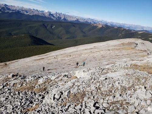
Approaching the summit of West Peak
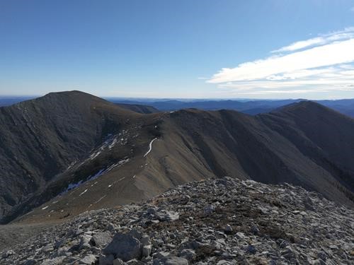
Looking at, from left to right, Centre Peak, the Hub, and South Peak from West Peak
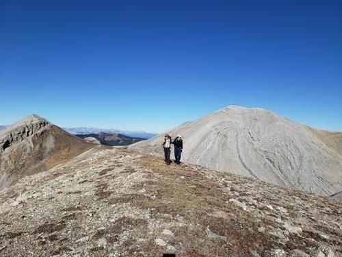
West Peak (on the left) and Moose Mt Fire Lookout (on the right) as seen from the Hub
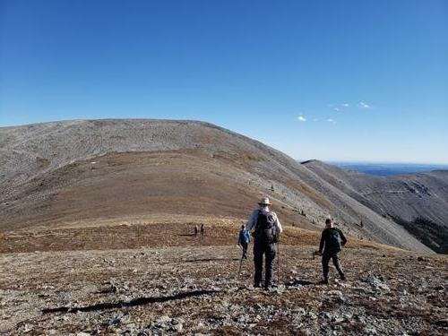
Heading towards Centre Peak from the "Hub"
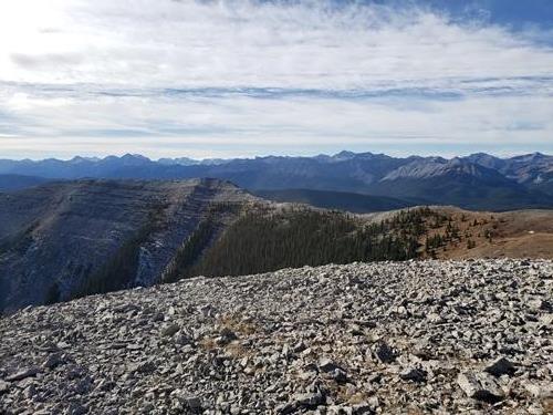
Looking towards South Peak from Centre Peak
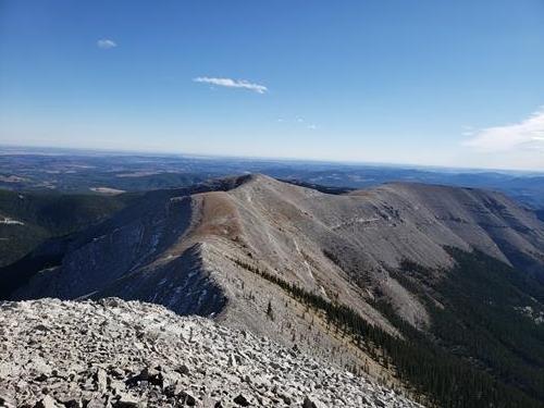
Looking towards Southeast Peak from Centre Peak
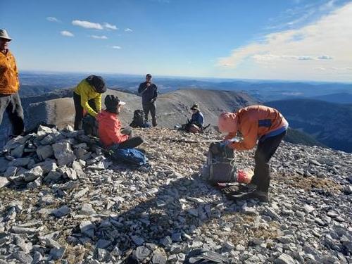
On the summit of Centre Peak
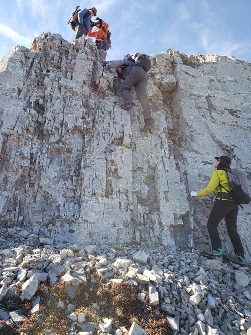
Downclimbing the cliff band between Centre and Southeast Peaks
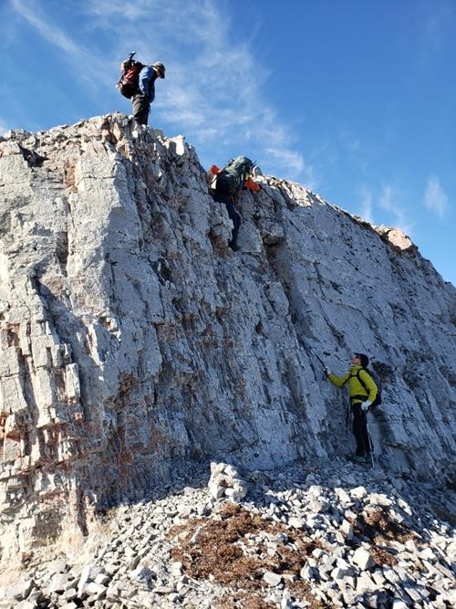
Another view of the cliff band between Centre and Southeast Peaks
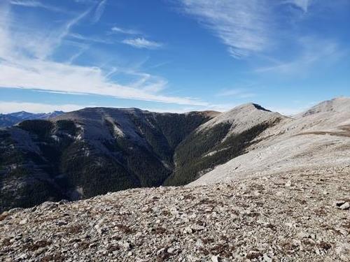
Looking back at South Peak (left) and Centre Peak (right) from Southeast Peak
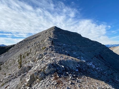
Climbing back to Centre Peak from Southeast Peak
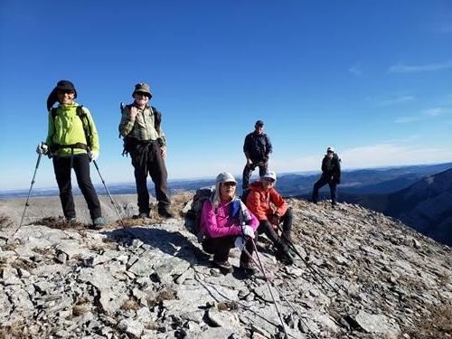
On the summit of South Peak
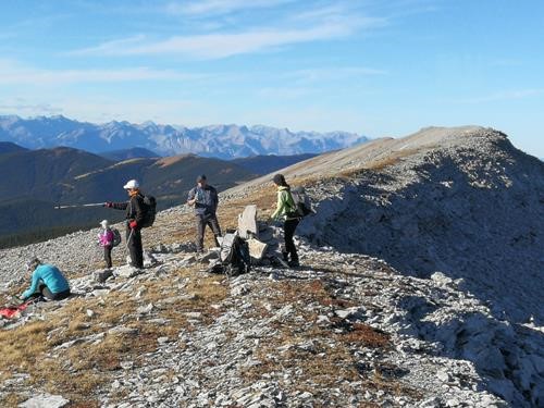
Contemplating the descent route to Canyon Creek from South Peak
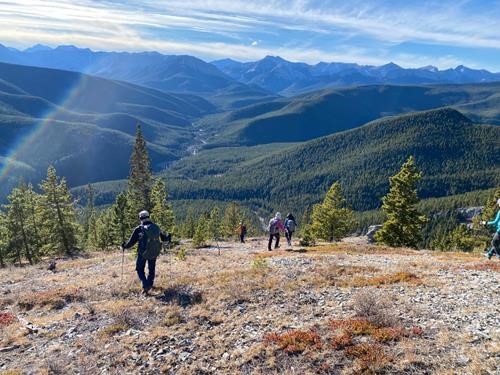
Descending from South Peak back down to Canyon Creek
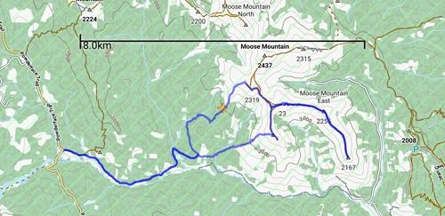
Our GPS track