Mount Howard from Canyon Creek Scramble on 6-Oct-2021
From the tiny parking spot along dusty Powderface Trail at Canyon Creek, we headed west up the broad valley just before 8:30 am.
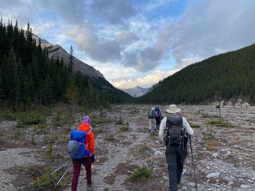
Starting out in upper Canyon Creek (photo Simon)
We passed by the stunning south cliffs of Mount Bryant to our right, continuing through a narrow section with Compression ridge on our left, and easily rock-hopped across the creek a few times until the valley opened up again and we could finally see our ascent ridge after just over an hour into our hike. An obvious & flagged trail showed us the way up through the forest all the way to treeline where grand views opened up.
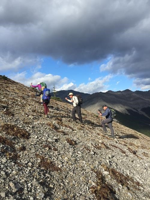
Starting up above treeline
A series of false summits kept us moving onward and upward on the broad ridge with ever-changing colours of rock layers and intermittent rock outcroppings to keep things interesting.
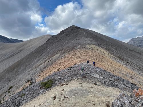
Hiking along the ridge (photo Simon)
The higher we got, the more we could feel strong, cool wind gusts from the SW, which motivated us to side-hill around one of the tops on the calmer lee side. From here could finally see Mount Howard proper and the route to get there.
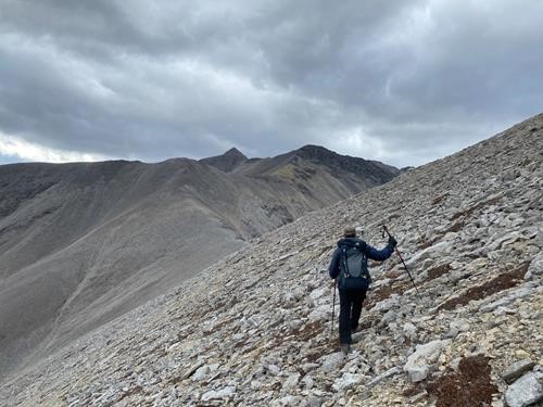
First glimpse of Mount Howard (photo Simon)
Soon the patches of cloud grew bigger. But there was little chance of rain, simply because the temperature before factoring in wind-chill was right around freezing. So, the skies gave us light graupel instead as we steadily made our way up the mountain after layering up.
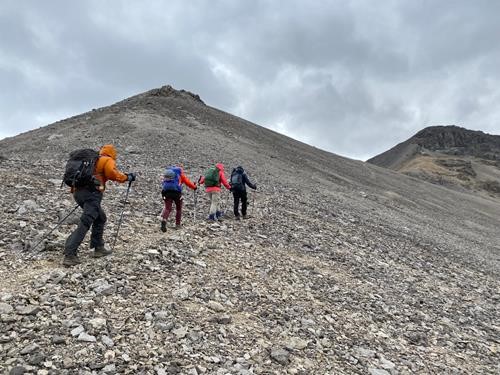
Strong wind as we head up (photo Simon)
When we got to the saddle just before the summit, we could now see familiar mountains to the south and today’s objective only minutes away to the east.
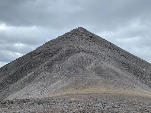
Jane approaching the scramble section just before the summit (photo Simon)
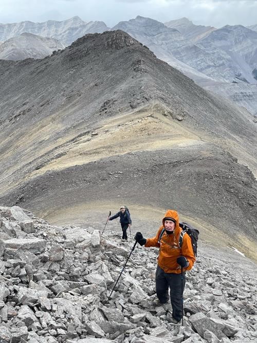
John and Brian getting ready for a fun scramble (photo Maryse)
The wind dissipated somewhat as we arrived at the summit 4 hours after starting out. We enjoyed our lunch break, picking out peaks, and the ever-churning sky.
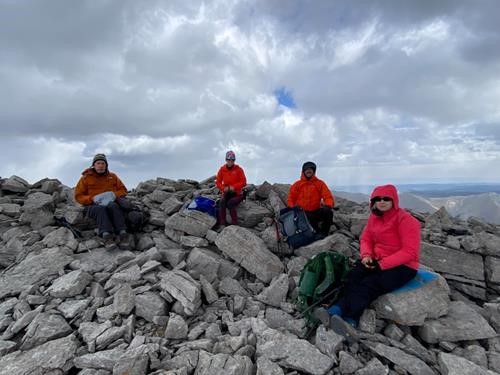
John, Maryse, Brian, and Jane on the summit (photo Simon)
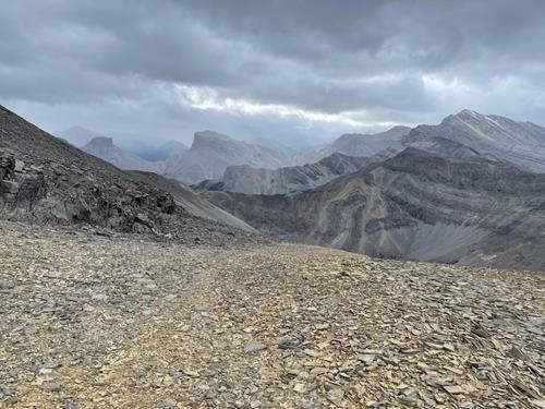
Mounts Remus, Romulus, and Fisher to the south (photo Maryse)
As we started back down, a friendly wager was made as to when we would see warm sunshine again, if at all. Many had doubts. Our descent plan was to head east at a Y junction along the ridge and make a counter-clockwise loop.
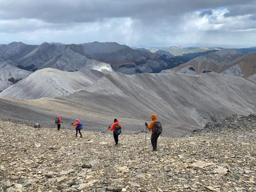
Our descent route went left to right along the ridge (photo Simon)
A rainbow to the NE foreshadowed possible good weather in our future.
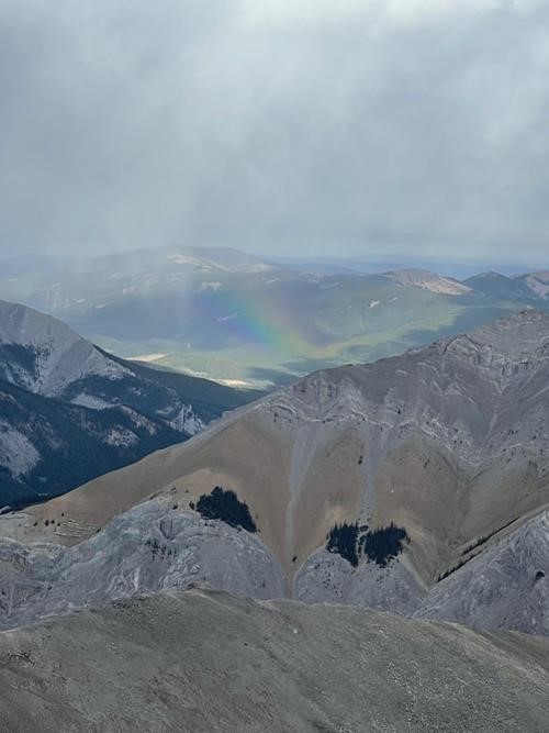
Rainbow (photo Maryse)
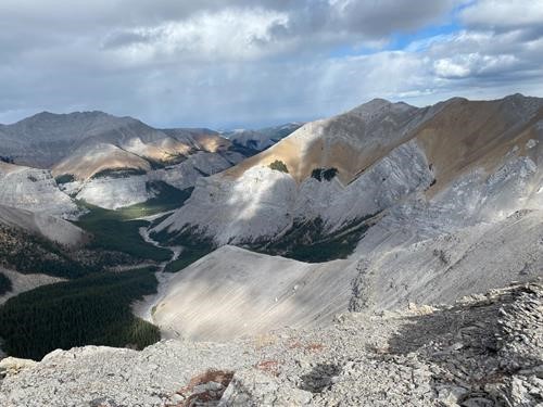
Our ridge in the middle before dropping into the valley (photo Simon)
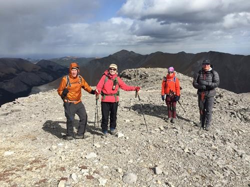
John, Jane, Maryse, and Simon happy to see the sun
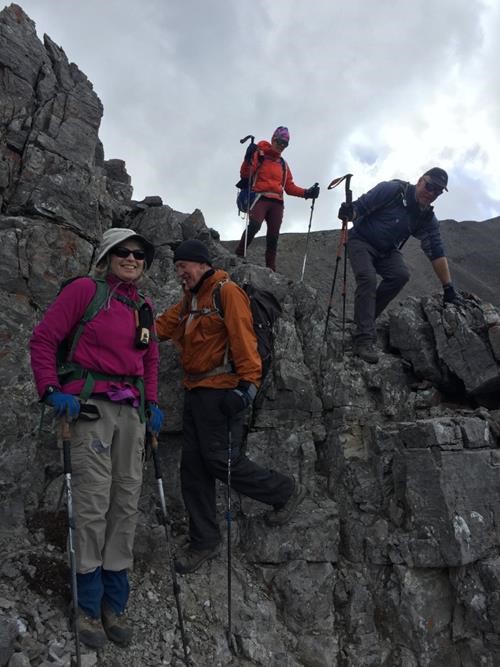
Surprisingly fun scrambling along the descent ridge
We walked back to the cars in full sunshine, having had a very enjoyable day together on Mount Howard.
My thanks to participants: Jane, John, Simon, and relatively new Rambler Maryse, who made it such a fun trip for me Brian, Coordinator.
Trip stats: 20.6 km in 8:27 with 1,160 total elevation
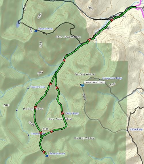
Our route