Fisher Peak 389308 Scramble on 31-Jul-2021
Starting from Evan-Thomas parking lot at 6:40 am, we rode our bikes eastward on good trail for a couple of kilometers. After the turnoff to Old Baldy, the wide trail gets steeper and rockier for the next couple of kilometers to a washed-out side creek where we had to dismount and push our bikes. The final 2 km was mostly converted to single-track by Alders that have taken over. We decided to ditch our bikes at the top of a hill before it descends down to now flood-devastated Evan-Thomas creek.
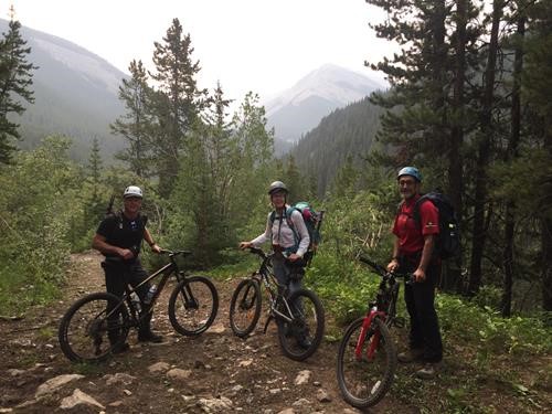
Top of the hill where we stashed our bikes. North end of Fisher Peak at middle right.
We walked and rock-hopped our way up the creek to find the trail on the other (south) side until the trail becomes virtually indistinguishable from the creek itself. This is where we started heading up SE towards the north end of Fisher ridge. At tree-line we were greeted to a large boulder field; the kind of boulders that tend to move when you step on them.
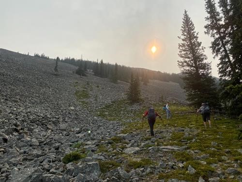
The boulder field up to the ridge
Finally on the ridge, through the smoky haze we could see that our peak is still miles away.
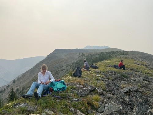
Rest stop at north end of Fisher ridge with the summit in the distance at center
After a short rest, we started our long ridge walk, which was quite grassy at first. There was virtually no wind. We dropped down to a saddle then gained the narrow ridge leading up to the crux – our late lunch stop.
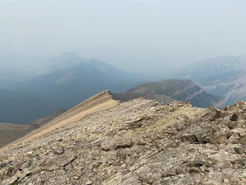
Grassy ridge at right, McKay hills and the Wedge in the distance to the left.
A group of 3 very capable Scramblers (Ryan, Lito, Sangmi) soon caught up to us just as we were preparing to rope up for the crux downclimb. It turns out Jag knew them all. We soon became friends, sharing a love of the mountains. We decided to go straight down the nose with the confidence of a rope belay. Carolyn went first then belayed the rest of us down.
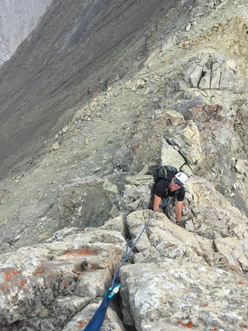
Simon climbing down the crux with Carolyn belaying from below
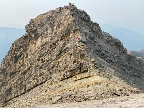
Jag beginning his downclimb of the crux
There was plenty of difficult scrambling all the way to the summit, sometimes on very narrow ridge.
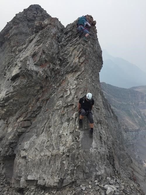
Simon and Carolyn down-climbing
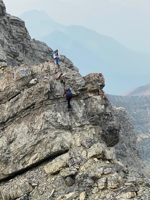
More fun scrambling
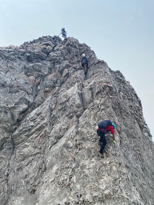
Carolyn watches from above as Jag and Brian scramble a difficult section
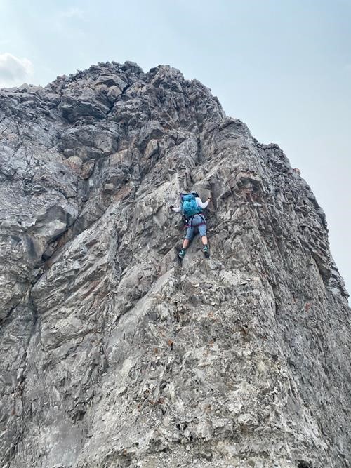
Carolyn shows how it's done
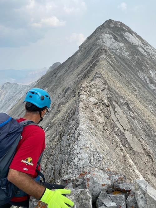
Scrambling section of ridge
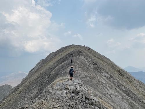
Final approach to the summit; our 3 new friends at the top
After 9 hours, we were finally on the summit of Fisher, which was surprisingly infested with thousands of little biting flies.
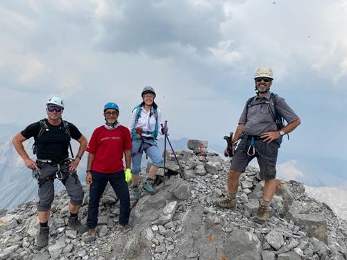
Simon, Jag, Carolyn, and Brian on the summit
We didn’t linger long. Views were less than optimal due to the smoky air, but improved later in the day as we started to get some wind. The way back was easier since we were able to scramble up the sections we had previously down-climbed. We all did so unaided.
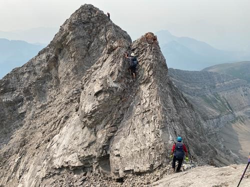
Fun scrambling on return
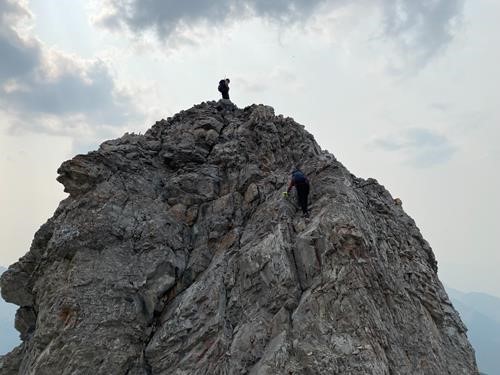
Feeling on top of the world
We started our ridge descent and had to decide which way to return: west, directly down to Evan-Thomas creek on loose boulders, or east, down a side valley. As water was low (or completely gone), we opted to go east, hoping to find water sooner. Sadly, the creek-bed in the lush green valley was bone dry.
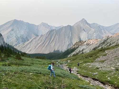
Dry creekbed
We bushwhacked and descended down to an intermittently flowing stream to quench our thirst.
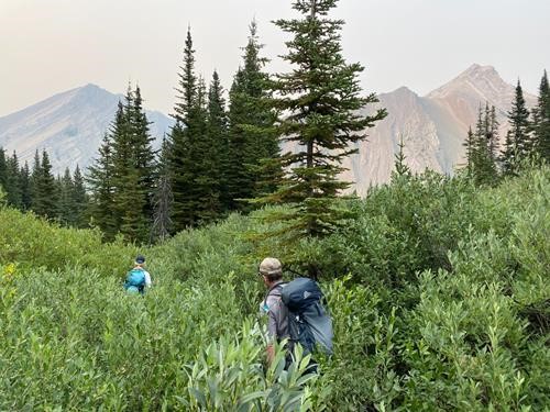
Bushwhacking in the side valley
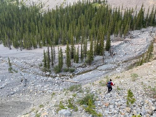
Steep descent to much needed water
We followed the creekbed back to the trail, just as the sun was setting.
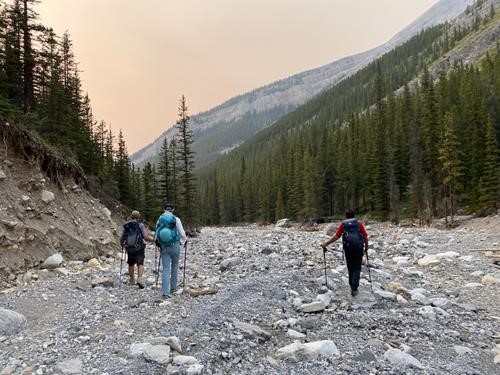
Return along dry creekbed as sun is setting
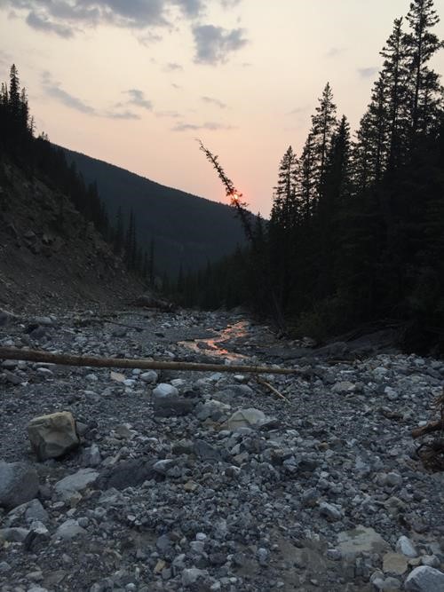
The creek looks almost like molten lava
We walked up the hill to where our bikes were stashed. It was after 9pm when we got on our bikes for a gloriously fun ride in twilight back to the parking lot.
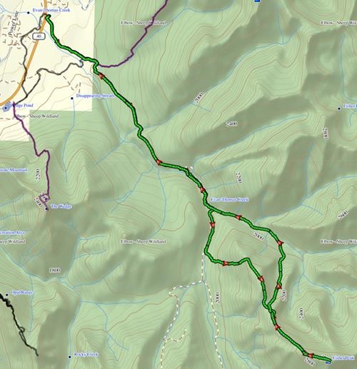
Our route
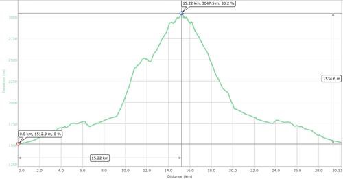
Trip stats
The entire 30.1 km, 1,805 m total elevation trip took just over 15 hours and was only possible thanks to the great skills and cooperation of these accomplished Scramblers: Carolyn, Simon, Jag. Thanks to Simon for the majority of the photos.
Brian, Coordinator.