SE Outlier of Holy Cross Mtn Scramble on 16-Jun-2021
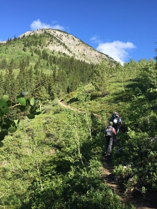
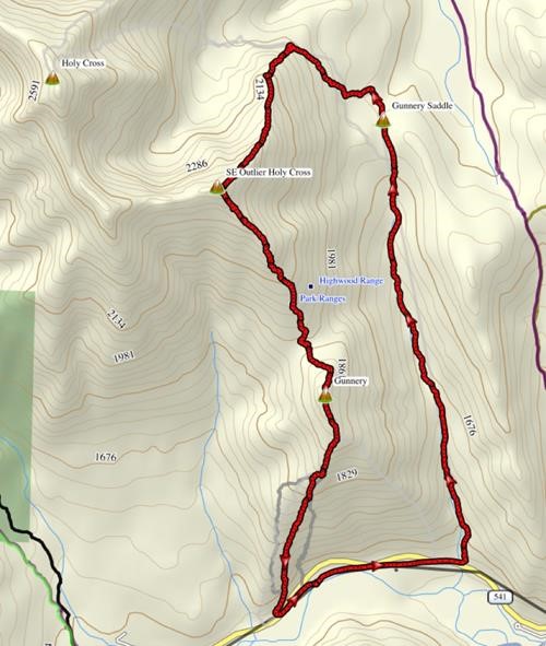
From the unremarkable Gunnery Mountain trailhead parking area, we walked east along HWY 541 past the interminably closed Eyrie Gap Day Use Area to Gunnery Creek. Well-defined trail followed the babbling brook northward up to the pass, with ever-improving views.
There were a variety of detour options near the pass: go SW up to the notch between Gunnery and Holy Cross, SE up and over the ridge down to Grass Pass, NW to Holy Cross mountain, or NE down to Wileman Creek. We followed my errant GPS track, from some unknown source, about 100 m north of Gunnery saddle and had to do some light bushwhacking for a short distance until finding the trail. [the correct trail actually veers off NW before the saddle]. We were soon at the high spot where Holy Cross mountain can be seen to the west, signaling that it was time to head south for the day’s objective – SE Outlier of Holy Cross.
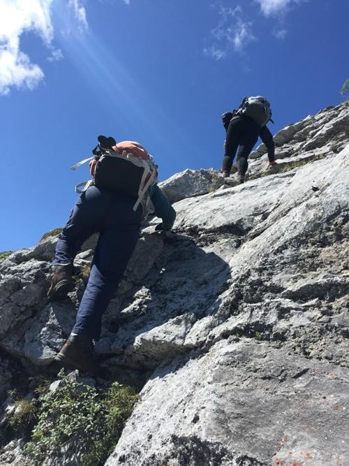
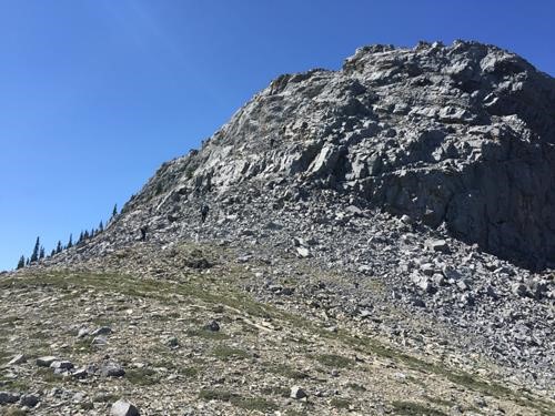
Not knowing whether the route goes, we happily discovered that the scrambling begins almost immediately.
What started out as easy, soon became more moderate and interesting.
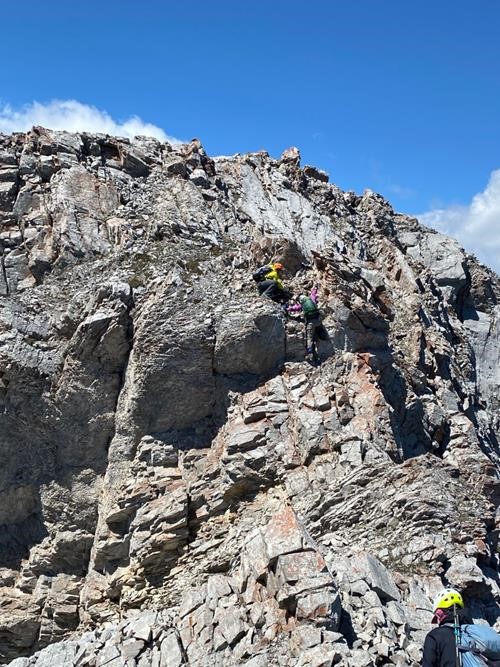
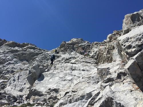
From studying the route from Bull Creek Hills, my biggest concern for the entire route was the cliff band about halfway up, which only looked surmountable from the north end.
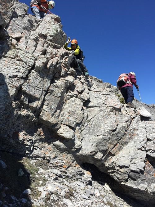
This turned out to be our crux for the day, with options: [1] airy slab to the left, [2] steep with loose rock holds to the right. 2 went left, 6 went right.
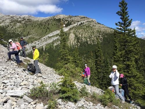
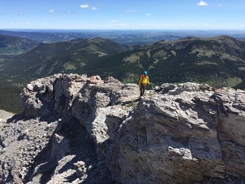
The group carefully made it through the cliffband, to be greeted with fantastic views of both Holy Cross mountain…
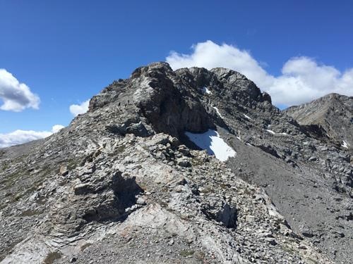
…and of our next major objective, the summit block.
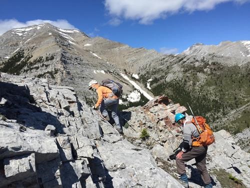
The strata of the SE outlier offered exciting ridge walking.
The rock formations along the ridge also provided a reprieve from strong wind gusts, mostly from the west.
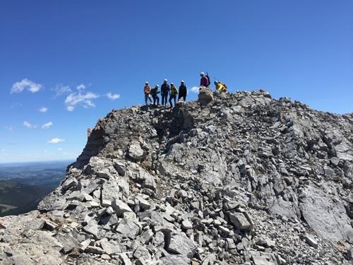
From the cairned top of this outlier, the ridge continues to the west, up and down many vertical rock layers that would be well beyond moderate scrambling. Our party only went one rib beyond our designated top and had lunch in a protected area on the NE side.
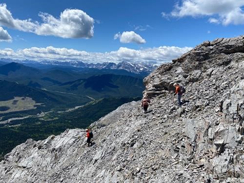
After our break, we headed down the south ridge towards the notch with Gunnery mountain.
We encountered one section of moderate down-climbing near the top.
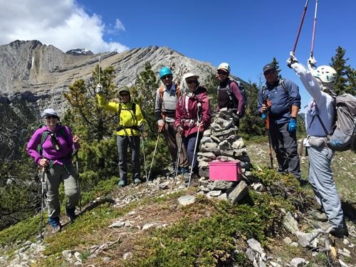
Flagging led us from the notch up the backside of Gunnery. From this tiny summit (complete with pink register), we could see our high point of the day. But which one? One of the grey ones above David’s blue helmet.
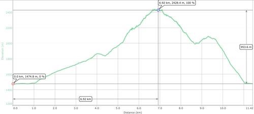
We followed Gunnery’s SW ridge down to the highway and back to our cars. The total trip of 11.4 km and 954 m net elevation (1,156 m total) took 6 ½ hours.
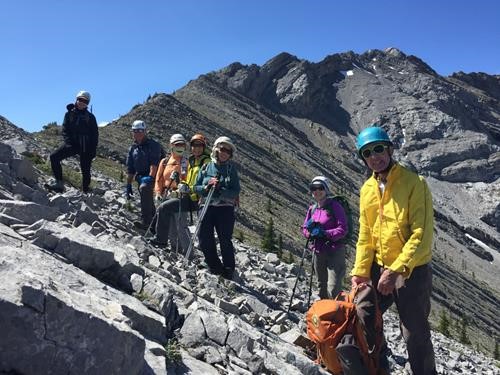
Though it wasn’t a peak proper, the scrambling was entertaining and fun, thanks in large measure to the great company of participants: Sim, David, Alda, Cordula, Jane, Simon, Marianne.
Brian, Coordinator
