Stanley Glacier,Kindersley/Sinclair Loop Trail hike on 29-Jul-2020
Due to pandemic reasons the Macbeth Icefield portion of this trip was cancelled and we opted to check out Stanley Glacier as not many of us had been in the area. With perfect weather it was a great photo opportunity for everyone. We started at 8:30 a.m. and hiked to a waterfall just below the glacier. On the way back we decided to do a loop and explore the cave. We arrived back at the cars around 3:30 p.m. suffocating from the sweltering heat. It was 34C. Approximately 12 km and 780 m elevation gain.
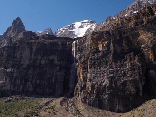
One of many waterfalls below the glacier.
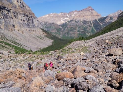
Mt Whymper was a nice backdrop on the hike in.
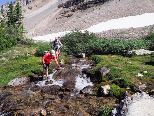
After lunch we crossed a stream in order to get closer to Stanley Glacier.
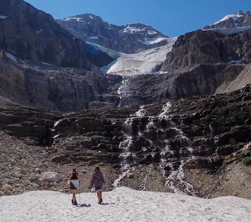
We were able to get quite close and the cold water was refreshing on a hot day. You can see other Ramblers scrambling up the waterfall.
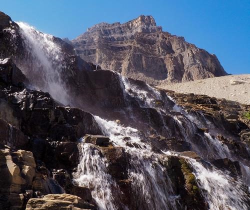
Close up.
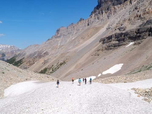
We descended the waterfall area in search of the cave.
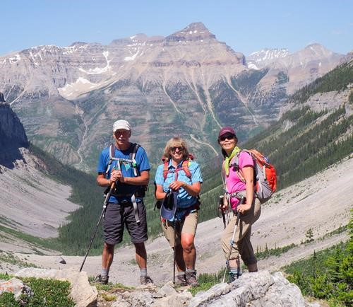
Dave, Kim and Suzy.
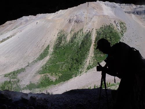
Mikako in the cave.
After feeling the effects of intense summer heat from the day before we set out on the Kindersley/Sinclair loop under the same conditions.The group arbitrarily decided to complete this as a car shuttle rather than walk 1.5 km on Hwy 93 in the heat at the end of the day. We had an early start to Kindersley Pass and moved at a moderate pace, a lot in the forest and through vegetated avalanche slopes. We took advantage of many streams to cool down so we didn’t overheat. Arriving at the col shortly after noon there were two peaks, one to the left known as Kindersley SE4 and another to the southeast. The group split and three of us went up Kindersley SE4 while the others ascended the other peak. We met back down at the col and continued down the Sinclair Trail. All went well until a few kilometres before the road where the trail was completelly washed out and we were forced into Sinclair Creek. It would have been unfortunate if we had to bushwhack and creek hop back to the car but we found the trail further up. Again, it was washed out but we lucked out, hooked up with the trail and were back at the car by 6 p.m. Stats for this trip from Kindersley SE4, approximately 20.5 km, 1,350 m elevation gain, 2,695 m summit. Thank you. Christine, Kim, David, Teresa, Jane, Suzy, Mikako, Tomiji, Glenda and guest Megan for joining me on a spectacular trip to Kootenay National Park. Yours truly, Christine c/s/p 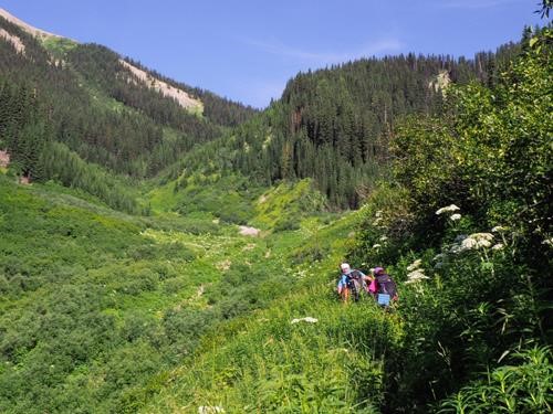
Lush vegetation along the Kindersley Trail. In some sections it was up to our heads.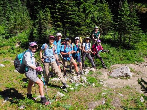
Ramblers at Kindersley Pass.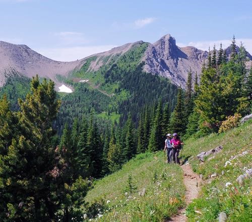
Mikako and Tomiji checking out the view.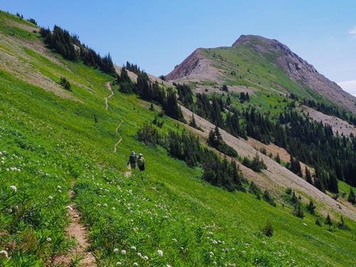
Almost at the Kindersley/Sinclair Col.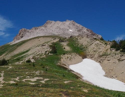
Looking at Kindersley SE4 from the col.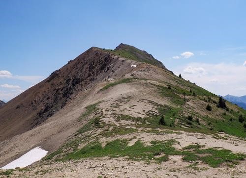
Other peak southeast from the Kindersley/Sinclair Col.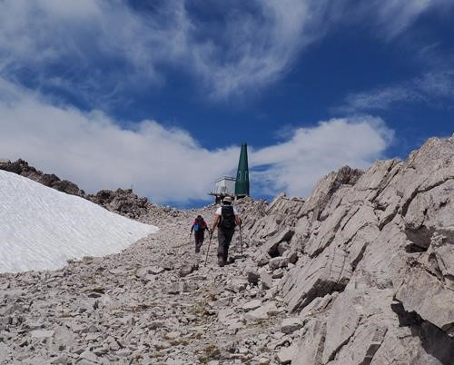
Tomiji and Mikako nearing the summit of Kindersley SE4, I think that's a weather station.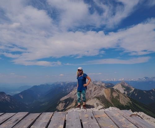
Christine on the summit of Kindersley SE4.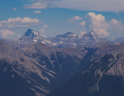
Mt Assiniboine, Aye Mountain and Eon Mountain are east of the summit.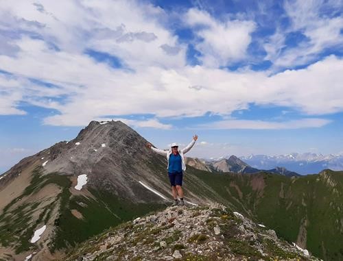
Teresa on the second bump of the other peak. Teresa Leszczynska photo.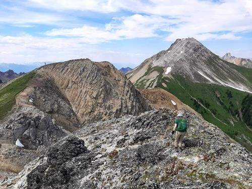
The two summit bumps of the other peak with Kindersley SE4 in the background. Teresa Leszczynska photo.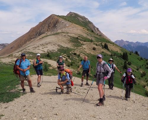
Ramblers at the col.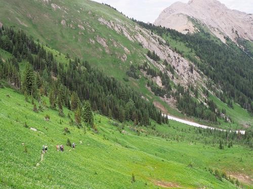
Descending on the Sinclair Trail.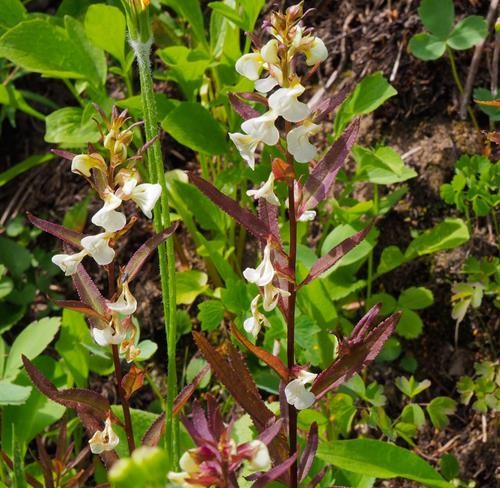
Sickle Top Lousewort. My first flower pic this year :)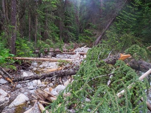
The Sinclair Trail collapsed, it went from good to ugly real quick.