Cougar Mtn 485155 Scramble on 2-Aug-2020
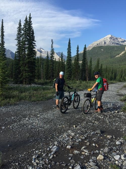
7:30 am was not too early a start from Little Elbow trailhead on such a beautiful Sunday morning of the August long weekend. On our bikes, we crossed the bridge over the Little Elbow River and followed the Big Elbow Trail.
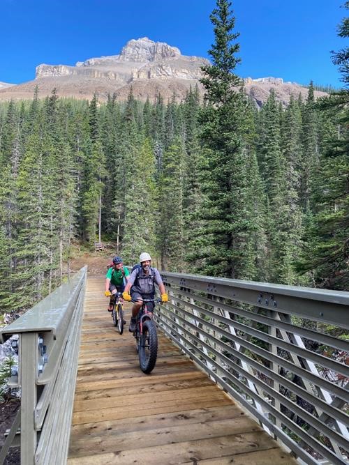
After a few minor hills and shallow creek crossings, we arrived at the new bridge placed high enough over the Elbow River gorge that no flood will ever wash it away.
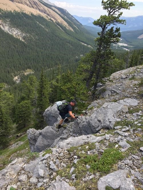
After 12.5 km we stashed our bikes at a high point along the south side of the river and started bushwhacking up through the forest, eventually encountering small cliffbands and scree.
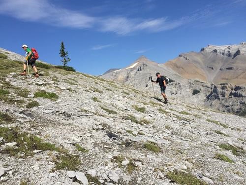
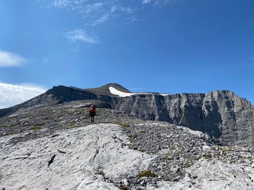
After about 300 m vertical, we were above treeline walking on good low-angled slab towards the rounded ridge.
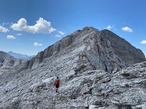
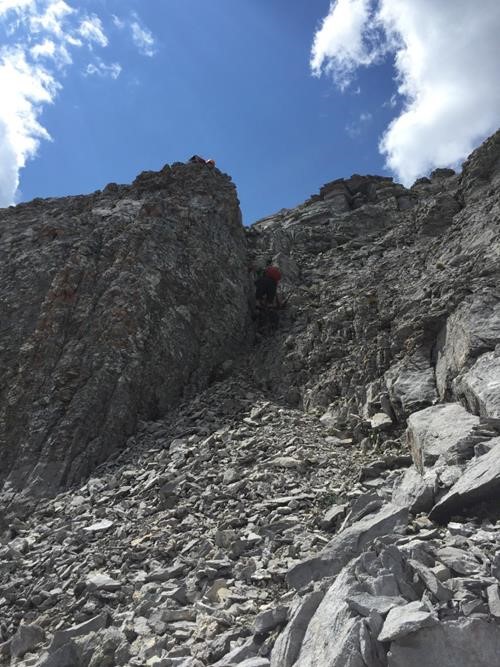
With the false summit in sight, our next objective was to tackle the narrowing ridge and cliffbands head on. Only the last cliff required a left detour on scree.
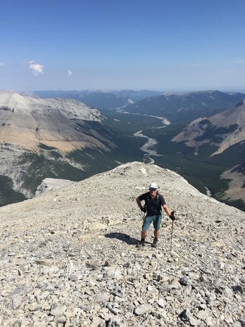
Once above the cliffbands, it was an easy walk to the false summit on crunchy thin Banff shale. Despite reports to the contrary, Cougar Mountain is not a scree bash, but was quite lovely. Mountains to the east included Threepoint and Rose. To the south, Bluerock and Burns. To the north, Outlaw and Banded.
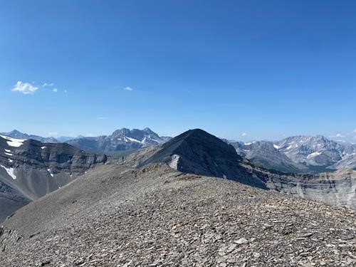
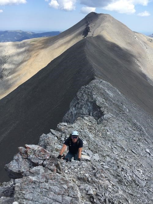
Next, we easily descended the ridge trail to the col and started scrambling along the west ridge to the summit.
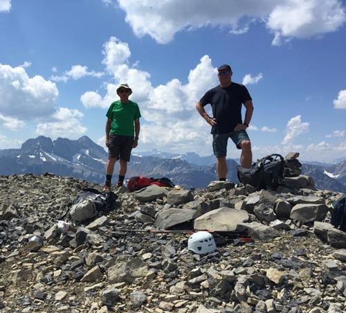
After 6 hours, we were on the summit of Cougar Mountain, enjoying the views.
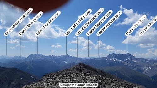
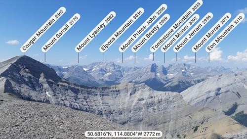
Thanks to Carl and his PeakFinder app, we were able to identify many peaks:
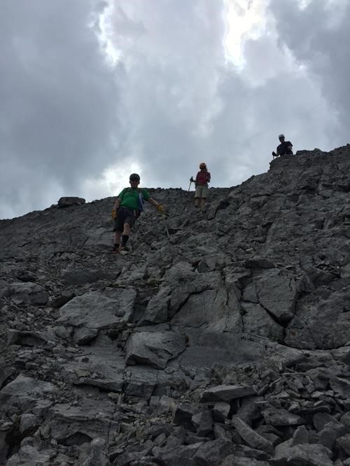
Dark clouds were building to the east, so we didn't linger too long. We reversed our climb and started down, grateful for shade on such a warm day.
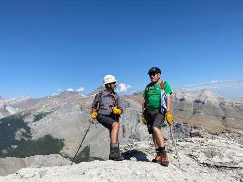
The storm clouds eventually dissipated as we lost elevation and the sun came out in full force. Back at our bikes, water was low, so we stopped to refill during our return bike ride. Unfortunately, a couple of bike falls ensued, but nobody was hurt. We were back at the cars before 6:30 pm, noticing the parking lot was now over-full. Total trip was 36 km. The brave, cheery, and slightly masochistic participants included: Carl,Simon, and "Ulli".
Brian, Coordinator
