High Rock Ridge bike & hike Off-Trail hike on 15-Jun-2020
We parked on the NW side of the bridge over Flat (Trap) Creek. Getting our bikes over the fenced cattleguard to the north posed the biggest challenge of the day. Riding west is at such a gentle grade that it feels flat, making you wonder why you don't have more energy. We encountered periodic points of interest along the way.
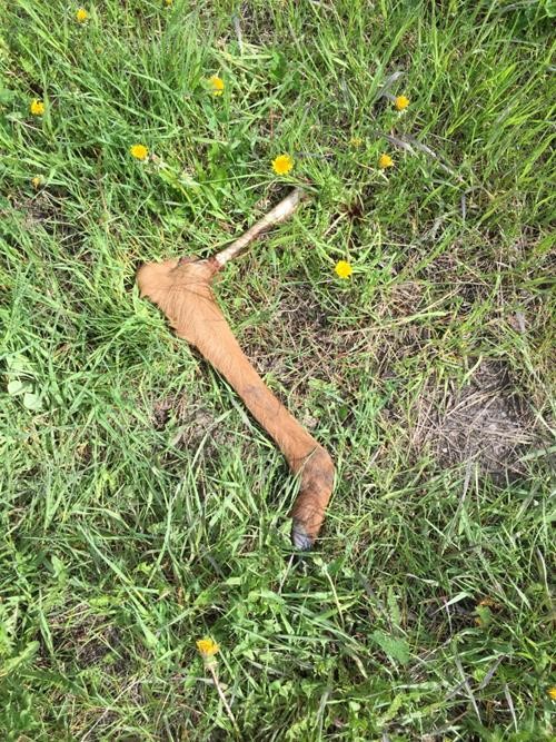
Evidence of wildlife
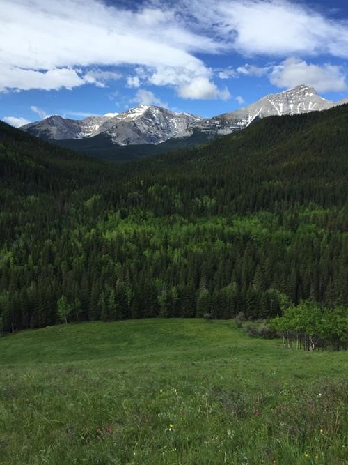
Holy Cross and Head Mountains
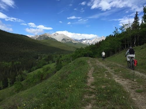
Gradual uphill on bikes
The only potentially tricky route-finding bike section is making sure to turn right at about 10 km and not go down to a well Site by the creek. 2 hours later, after 13 km and about 270 m elevation, we left our bikes behind and started hiking northward up an old exploration road. Farther up the Alders have claimed their territory. We stopped at noon to enjoy sunny views to the east.
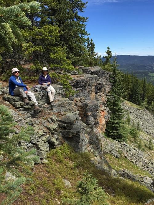
Lunch break in the sun
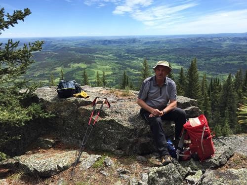
Carl with our approach bike route behind
At the north end of the first ridge, as the forest thinned out again, we picked up the old road and headed toward a saddle between it and High Rock ridge proper - the one with the famed views of the Dogtooth mountains to the west.
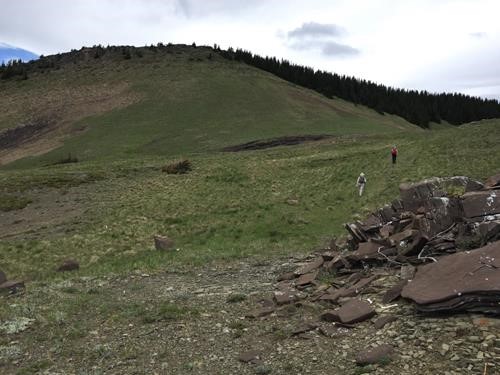
Approaching saddle before High Rock Ridge
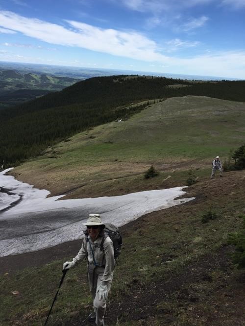
Circling above a snow patch
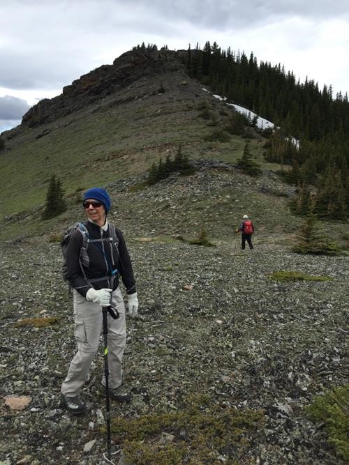
First scrambling opportunity?
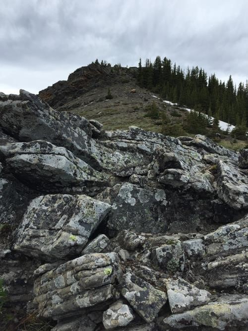
Rock on
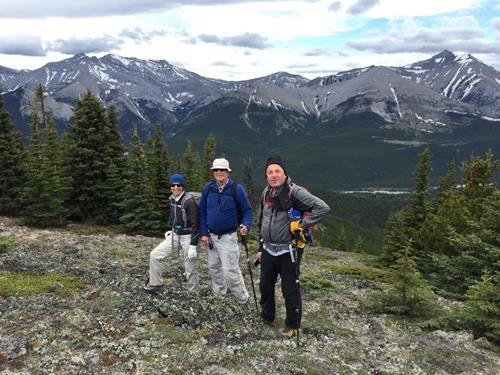
Group Shot
By the time we arrived at the top it had clouded over with a cool west wind. We continued northward encountering various bumps along the ridge until we could see our next objective, a treed col just east of Sullivan Pass.
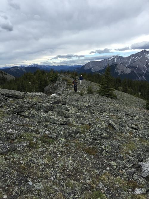
Looking back (south) from on top of the main ridge
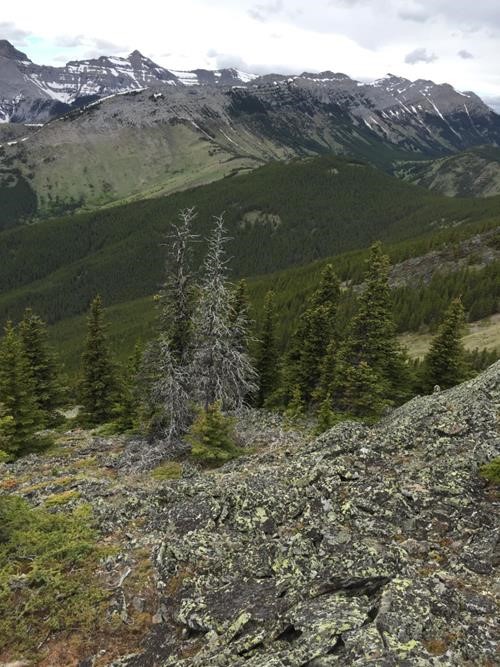
Treeless Sullivan Pass; our col is the one treed at right
We had a second lunch break at the col then bushwhacked about a kilometer until we reached good trail and luscious green meadow sections, taking us south down to Flat Creek and a Hunter's cabin.
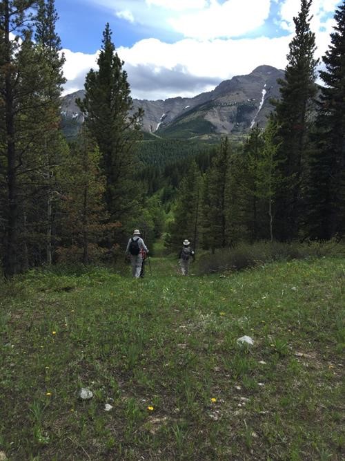
Heading down through a meadow section
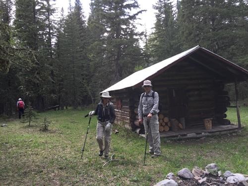
Cabin by Trap (Flat) Creek
At this point we still had at least 3 km hiking on the north side of the creek to get us back to our bikes. Sections along this stretch were severely damaged by the 2013 flood, requiring either a ford or detour. We chose the latter.
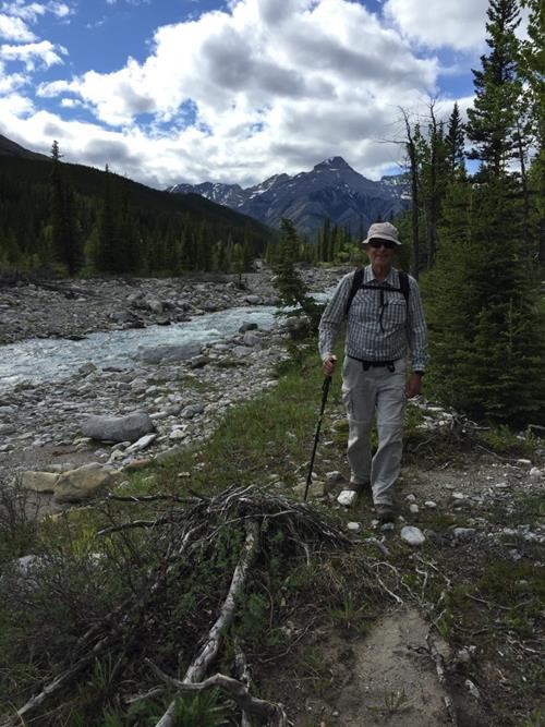
Philip remaining positive
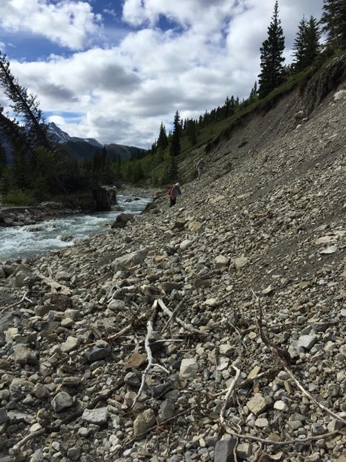
Detour section to avoid a ford
After almost 18 km on foot, it was a pleasure to see our bikes again. The fantastic ride back to the cars took half the time, with the wind at our backs.
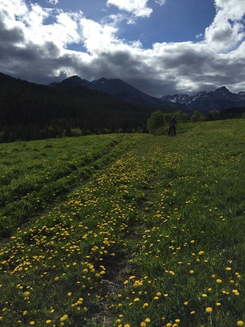
Finally on our bikes and heading back
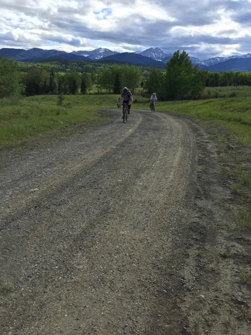
Enjoyable downhill on bikes
The total 10 3/4 hour epic trip was 44 km long, with 26 km on bikes. Net elevation 825 m, but with all the ups and downs was 1,175 m. The participants were great sports: Rosanne,Philip,Carl.
Brian, Coordinator