Mt Niles from Wapta Lake PL Scramble on 25-Jul-2019
Nine ramblers left the Sherbrooke Lake trailhead and began the long approach to Mount Niles. This coordinator was in hindsight glad that the weather on the trek in, was high overcast cloud rather than blue skies. This made for cool pleasant hiking conditions up to Niles Meadows.
We made our first stop at Sherbrooke Lake and then proceeded up the trail through the flats and then to Niles Meadows.
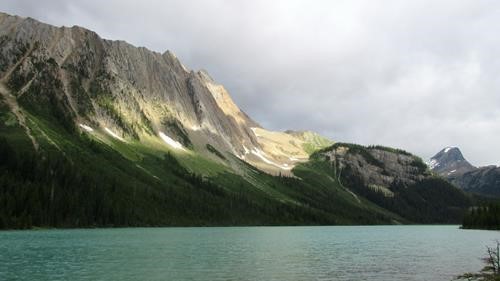
Sherbrooke Lake with Mount Niles to the right
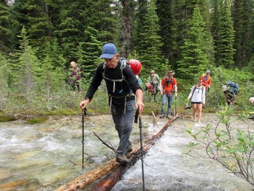
Bruce navigating one of two unnecessary creek crossings
When we reached Niles Meadows we were able to get a good look at our objective and the pinnacle at the base of the left side of the peak.
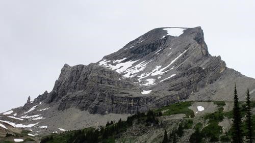
Mount Niles and the Pinnacle (to the left) from Niles Meadows
The group headed towards the base of the pinnacle, which is the start of the scramble route up Mount Niles. By this time the weather was starting to improve and the overcast conditions changed to a mix of sun and cloud.
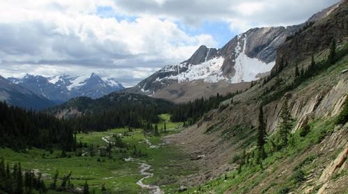
Looking back towards Niles Meadows from the upper bench
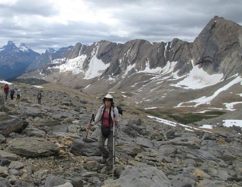
Katrin and the group heading towards the Pinnacle
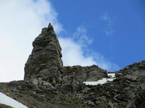
The Pinnacle on the ridge
At the pinnacle we donned our helmuts and headed up a well trodden route with a very obvious 'Kane effect'. Other than an easily scrambled rocky section on the lower part of the mountain, the rest of the route is really OT5, with no exposure or technical elements. If you can put one foot in front of the other, then you can get to the top of Mount Niles.
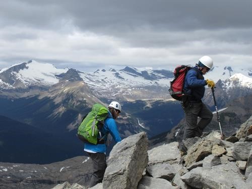
Ulli and Bill on Mount Niles
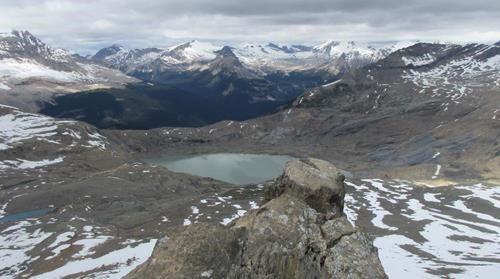
The headwaters of Takakkaw Falls below
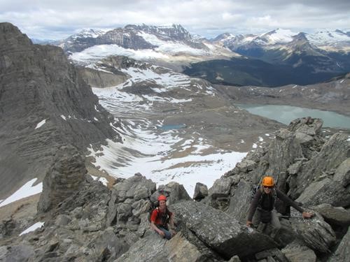
Easy scrambling above the pinnacle
At the summit we were greeted with amazing 360 degree views including of the Waputik Icefield, Daly Glacier and glaciated peaks in all directions. We spent 45 minutes on the summit enjoying the views and a well deserved lunch.
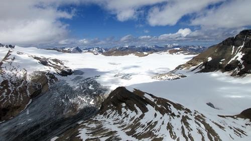
The Waputik Icefield and the Daly Glacier to the left from the summit
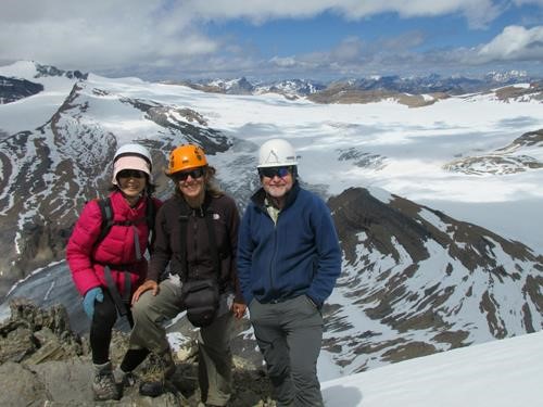
The "money" shot on the summit of Mount Niles
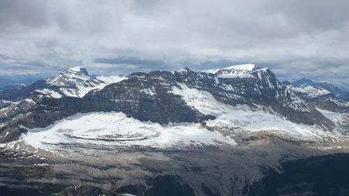
Looking West towards Michael Peak and the Iceline Trail
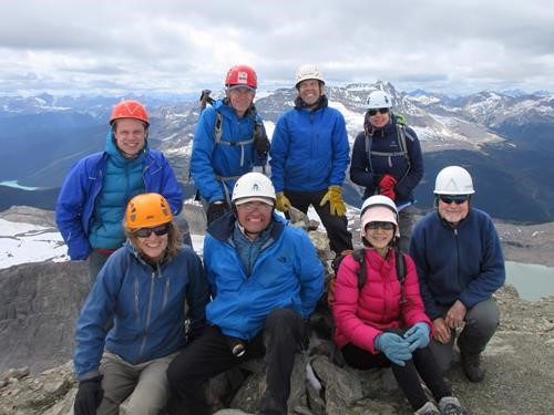
Ramblers on the summit of Mount Niles
Reluctantly, given the long 12 km return trip back to the trailhead, we began our descent back down to the pinnacle.
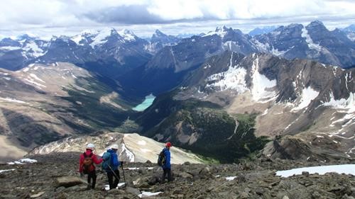
Descending from the summit with Sherbrooke Lake in the distance
My sincere thanks to my co-adventurers Bill,Ricardo,Brian,Bruce,Ulrike,Katrin,Toshiko,Sebastiaan for their excellent company and for joining me Kevin (S/C) on a great day in Yoho National Park.
total distance 23.5 km
elevation gain 1375 m
total elevation gain 1550 m
total time 9.5 hrs