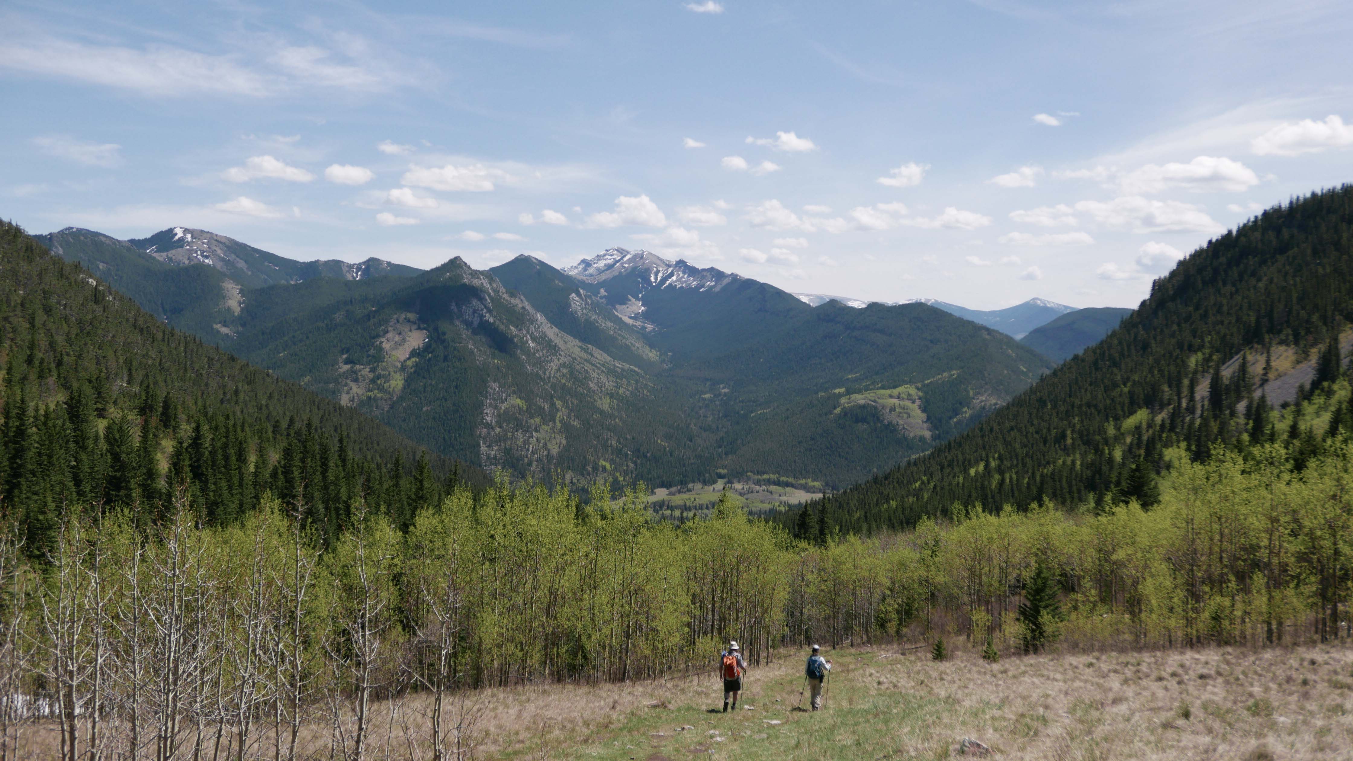
We enjoyed wonderful, brilliant day in the Bull Creek Hills, with sweeping, fantastic views. We started from the Kananaskis sign on the Highwood Trail, crossed Marston Creek and headed up the grassy ridge, which turned to rocky beyond “Clematis Gap” (Coord. 11 U 674405 5587897, elev. 1781m. They will flower in June). As we ascended the ridge, the sweeping views opened up under the blue unblemished sky. We had a number of breaks to quench our thirst, since it was warm even up on the ridge. There was only one firm snow bank left close to the summit, which we crossed towards the South side, no issue. The pictures below tell the story (click to enlarge the panorama shot):
Balsam Root (Balsamorhiza Sagittata)
Anemone Patens (Prairie Crocus)
Shooting Star (Dodecatheon Radicatum)
Sweeping view from the Bull Ck Hills from Mt Burke in the South, Baril Peak, Mt Cornwell, Mt Armstrong up to Holy Cross Mt outlier to the West.
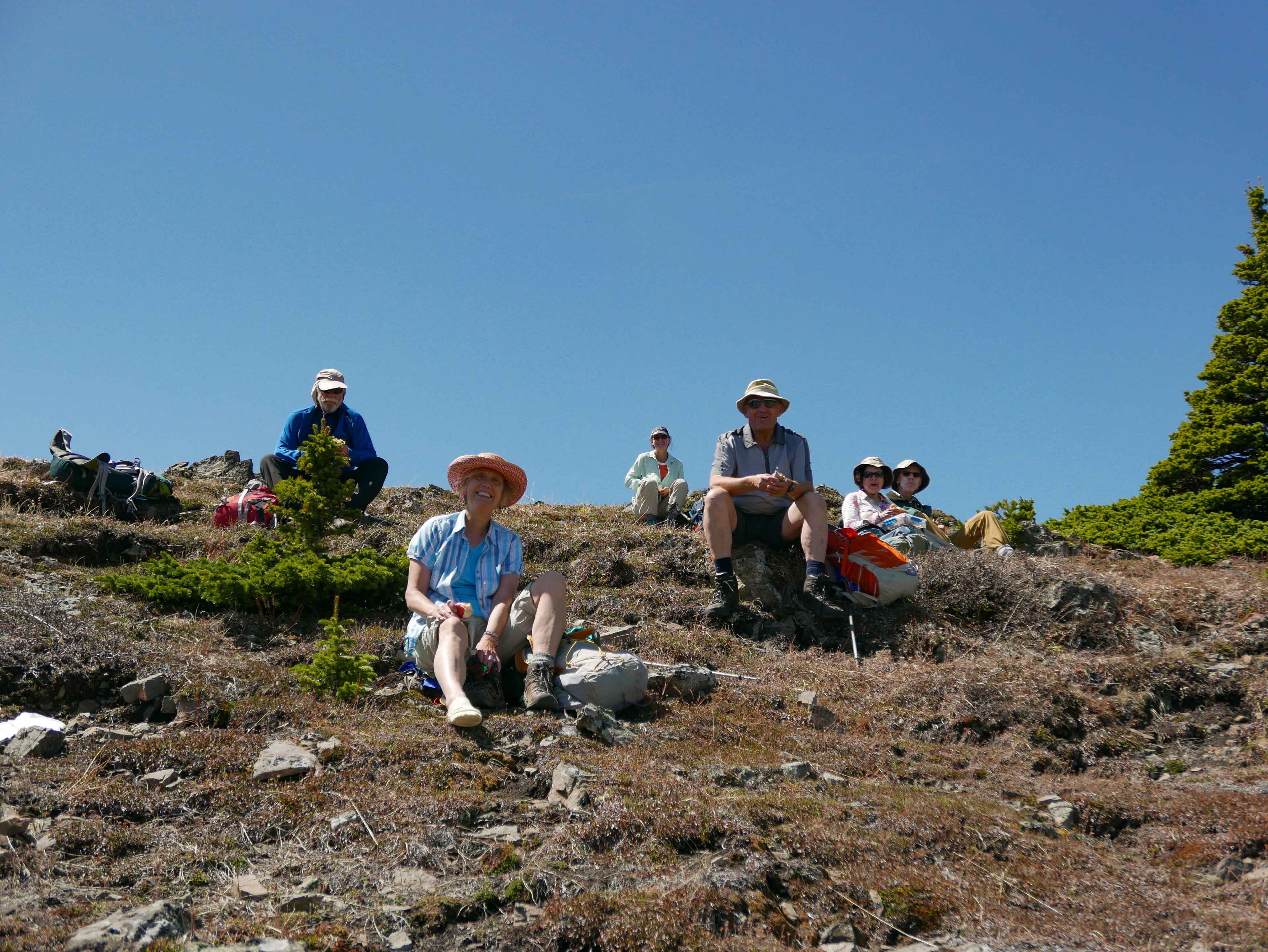
Lunchtime a little under the Bull Ck Summit in the warm sunshine!
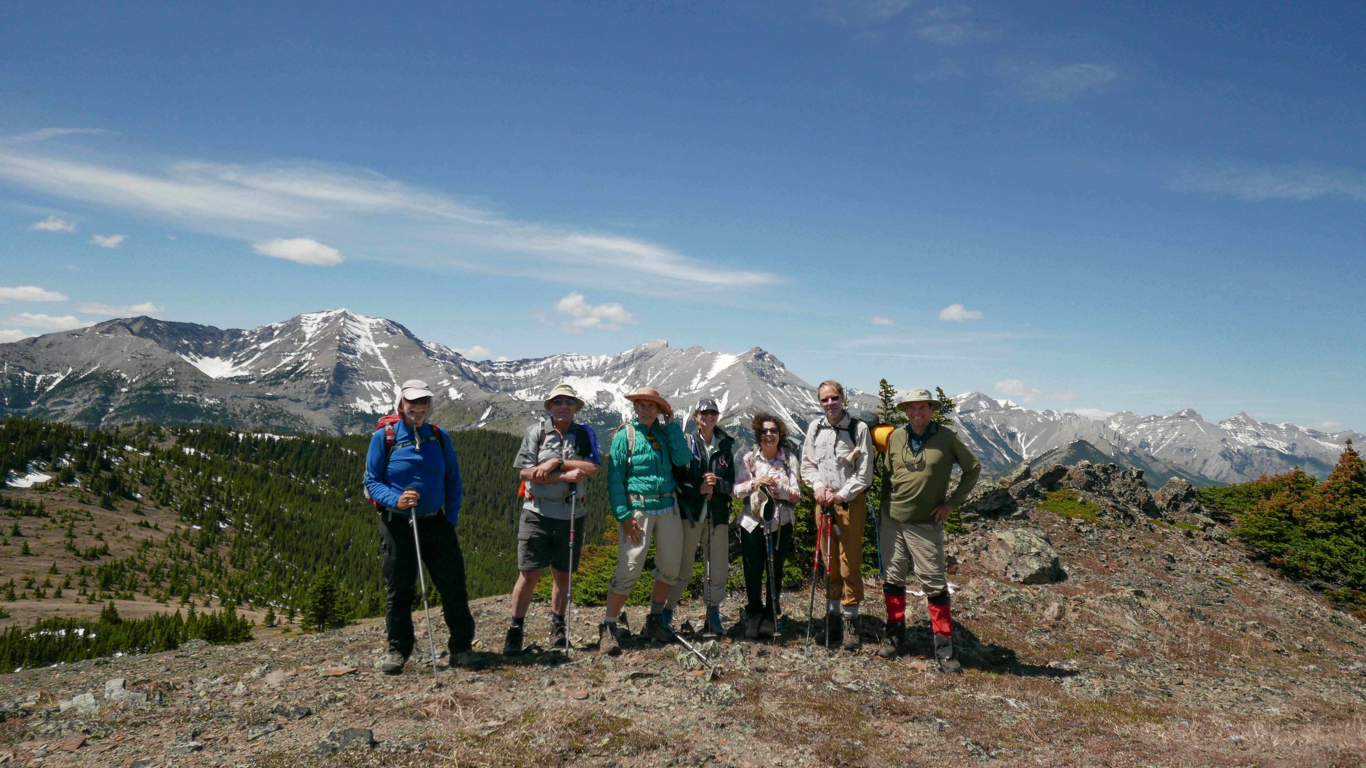
At Bull Ck Hills Summit: John, Carl, Madeleine, Cathy, Jen, Chris and Cornelis. Holy Cross Mt and Mt Head in the background.
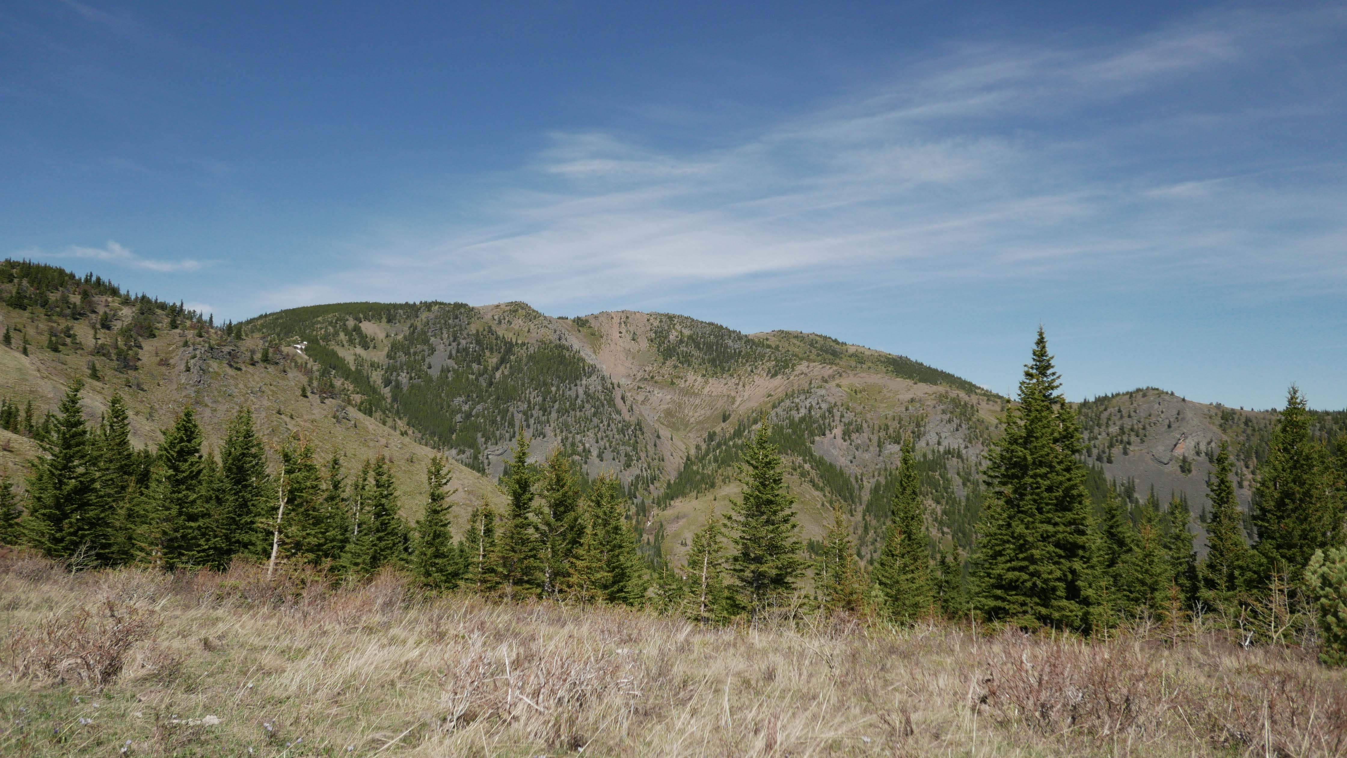
Bull Creek Hills' Ridge we traversed from right to left, looking back from the Lonely Pine.
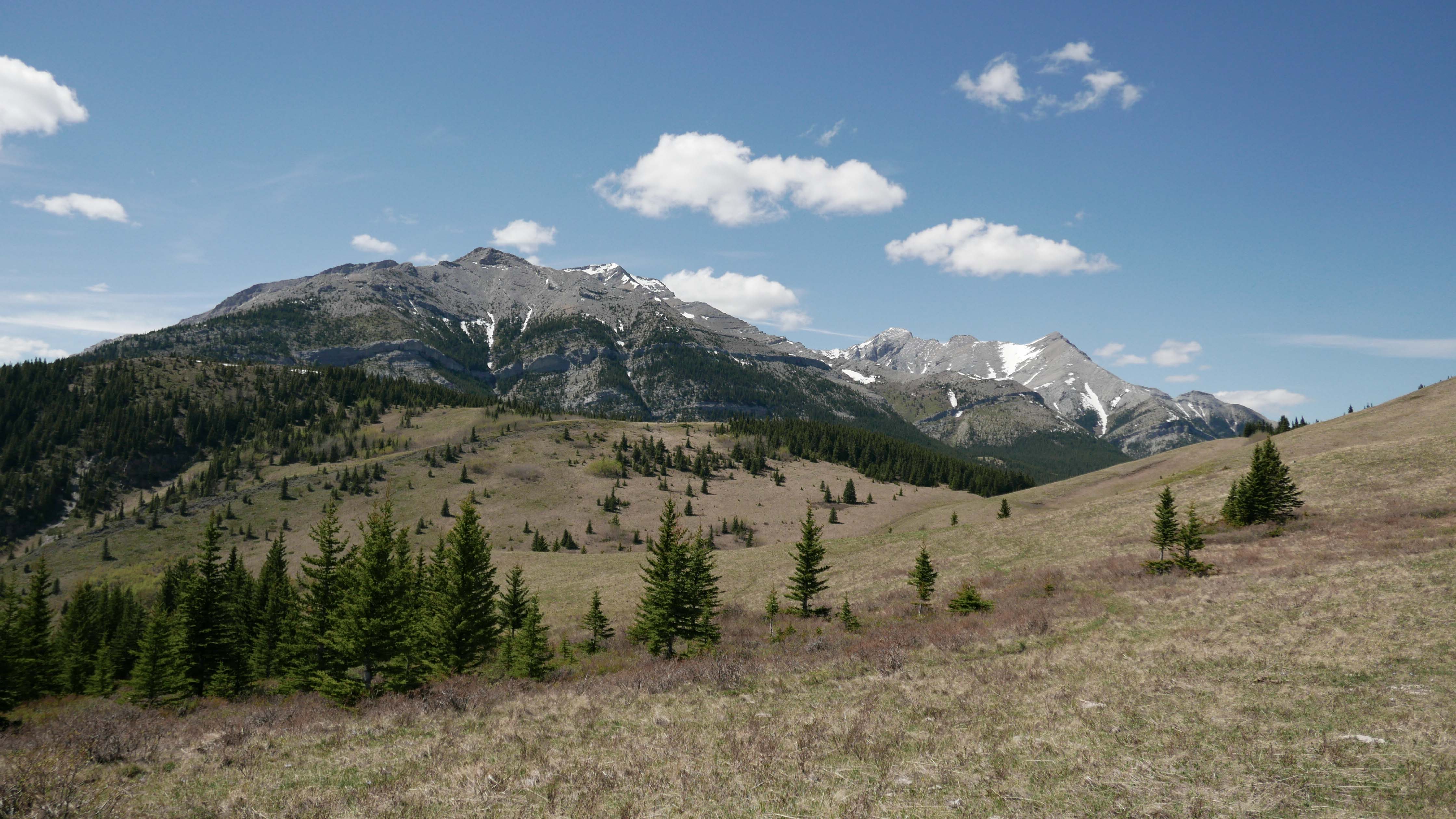
Holy Cross Mt (2652m summit) and Mt Head (2782m summit) to the WNW of the Lonely Pine, looking across Grass Pass (1890m).
Descending Pack Trail Coulee, Mt Burke (2542m summit) to the South.
We had a great group, back arriving from Grass Pass, down Pack Trail Coulee to Sentinel Parking. Participants: Madeleine,Chris,John,Cathy,Carl, Jennifer,Cornelis (Coordinator, scribe & pictures).
Distance: 11.8km, elevation gain 719m to Bull Ck Hills summit. Total Climbs ~900m. Yes, 900m checked on the GPS elevation profile, there are lots of ups & downs along the ridge! Once up on the ridge easy going and not steep.