Mt Noyes - north peak Scramble on 27-Aug-2017
We parked at the Silverhorn Creek parking area which is now largely closed due to construction, but provides enough room to park a couple of cars off the highway. Based on a track that Damian had, we went a few hundred meters north on the highway and headed into the bush. We soon attained the original Banff-Jasper road and were able to follow clearings then animal tracks through the western cliffs right to treeline.
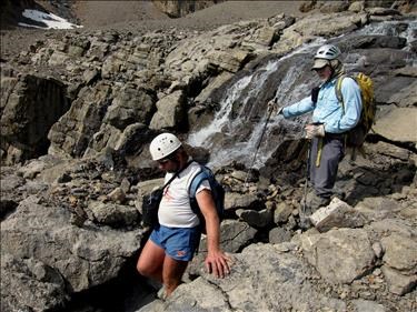
An upper valley has a rockwall at the end, but a very nice ascending ramp provides passage, leading to the top of a waterfall which provides a welcome supply of water.
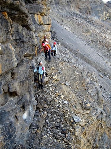
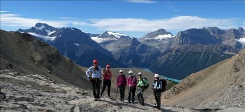
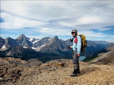
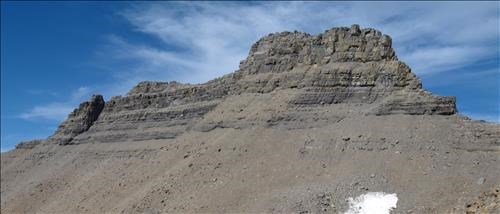
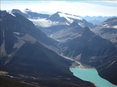
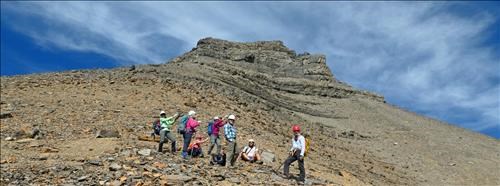
We then traversed scree and ledges to a point on the west ridge where we could examine the north peak. Great views to the west, with Arnold capturing them.
From this point, we were better able to examine the north peak. It appeared that a traverse along the scree would lead to a gully near the north peak. The traverse would have been lengthly and unpleasant, and we judged it to be more than we were up to, given that it was already 1 PM. We decided to stick to the main summit.
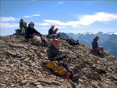
Views at the top were terrific with little sign of the smoke that has plagued most of the summer. The register was dry and provided records of earlier ascents by members of the group.
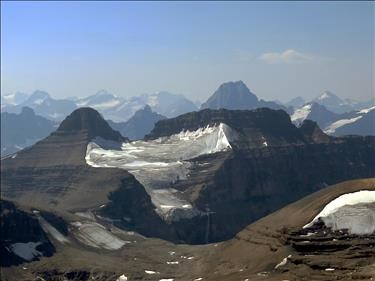
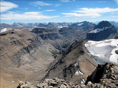
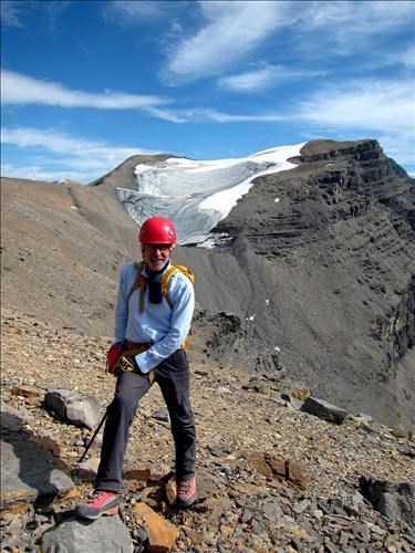
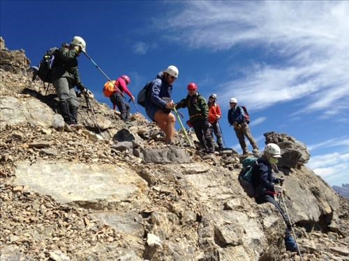
Descending down the west ridge, the lower south peak with a large northern glacier, came into view.
We stopped to consider traversing over to it. A long discussion ensued with some wanting to do it and others being more concerned with the time. After examining the logistics for a while, it became apparent that the group that wanted to do the south peak was down to a single person, so we settled on descending.
We were back to the cars by 6, home by 9.
Thanks to all for coming out, and thanks to Arnold and J-9 for the photos.
Participants: Sim,Bill,Arnold,Alda,Damian,Jeannine,James,Cathy
