Cat Creek Loop (Ridge 660878, Junction H Traverse) Off-Trail hike on
We had a nice group of six showing up for the Cat Creek Loop. This hike offers superlative views from the Cat Ck Hills’ Ridge onto the Rockies’ Front Ranges. The weather forecast was fine. It turned out to be a blustery day, with wild skies, showy displays of light-shafts filtering through the clouds, and a wide rainbow as the sun shone through the razor-sharp grapnel basting our faces, and, yes, some sunny periods. The temperature was still +11
oC. We started at the Cat Creek Recreational Area, and made our way up to the Cat Creek Ridge, past the Cat Creek Waterfall (diminished, many creek beds are bone-dry), and the abandoned coal mines from ~100 years ago (hardly a trace left), initially following abandoned logging roads. Leaving the abandoned mines area behind, we followed a relatively open S-facing creek bed up to the cat Creek Hills’ Ridge pass on a game track, avoiding serious bushwhacking. Once in the pass, we followed the ridge SE up the Cat Creek Hills to the summit at ~2220m. The ridge rises gently, and opens up going towards the summit. After the summit, the descent was initially following the somewhat rocky ridge (the OT4 section), then down a steep grassy slope to the pass between the Cat Ck Ridge and Junction Hill. While descending the steep, grassy slope we were nearly blown off our feet by the gale blowing through the pass. Here traces of two “attractive” looking abandoned exploration roads along the NE slope of Junction Hill are clearly visible, but should be avoided, since they end in slope-slumps and thick bush (the valley Road Trail & Ridge Road Trail on the Gem Trek map no longer exist in usable condition). Rather, stay lower on a game track above and SW of the gully and get back onto the low, initially grassy ridge descending towards the former Youth Detention Centre grounds (no buildings left, now known as the Highwood Compound Recreation Area), avoiding the gully to the SW below, and joining the Stony Creek’s bank not far from – just above the Recreation Area (gate closed, used as a Provincial Park storage area). This route avoids dense bush whacking (some relatively open aspen-stands should be avoided on the descent due to tangled deadfall from a heavy autumn storm some 4-5 years ago).
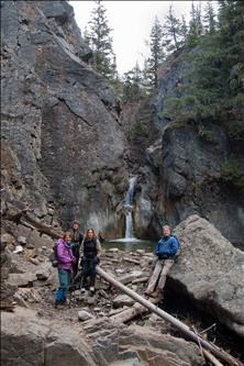
At Cat Creek Falls: Barbara - Lorna - Anna - Jim.
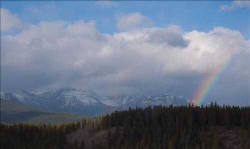
View from Cat Ck Ridge on High Rock Range.
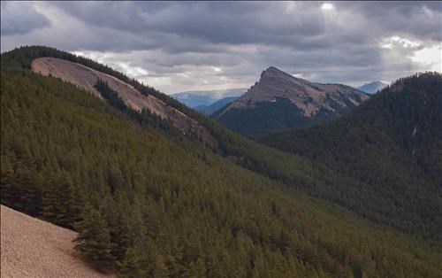
Cat Ck Ridge (2220m, left) and Junction Hill (2233m, right centre). We hiked up to above the grassy crescent of Cat Ck Hills, then descended to the pass between both summits.
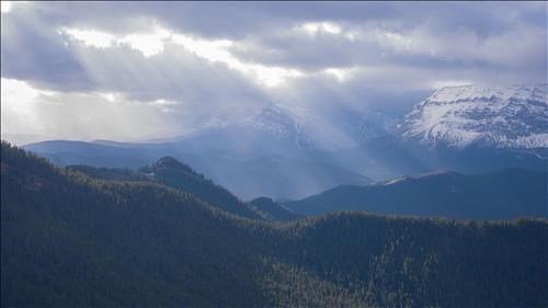
View of Mount Armstrong SW from Cat Creek Ridge
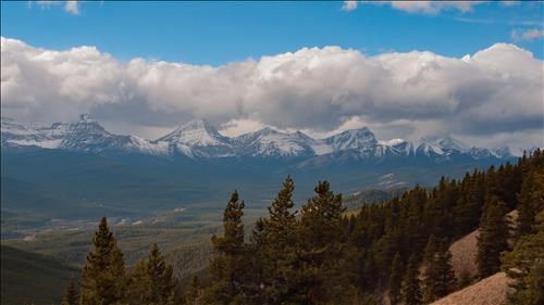
A small section of the impressive Rockies' Front Ranges, left to right: Mt Muir 2743m - Mt McPhail 2865m - Mt Bishop 2839m.
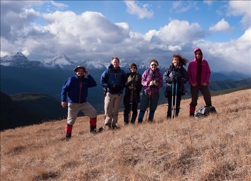
Group Picture: Cornelis - Jim - Lorna - Barb - Anna - Yolande.
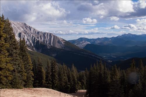
Holy Cross Mt 2650m and Mt Burke 2540m in the right background.
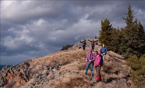
Descending Cat Creek Ridge to Junction Hill Pass.
Participants: Yolande, Jim, Barb, Lorna, introducing Anna and Cornelis (Coordinator, photos, scribe and GPS).
Trip Statistics: Distance 14km, Elevation Gain from the trailhead (temporary parking South of the Cat Creek bridge, highway 40) is approx. 640m. Total climbs ~900m. The end of the trail (were the shuttle car was left) is approx. 90m below the trailhead


