Belmore Browne Peak to Tiara Peak Scramble on 29-Jul-2016
We drove out to the Trailhead on the Powderface Road. The parking spot is a place where the road widens a bit and and is right next to a 14Km marker.
This is about 11.4km from the Dawson Gate. From the parking spot you have to walk about 250m back down the hill to the trailhead. Someone was nice enough to place a cairn at the point where a trail leaves the roadway and drops to the valley. We left the trailhead at 9:00am.
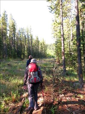
Walking through the logging area
The trail goes through an area with some recent logging activity as we headed to our objective.
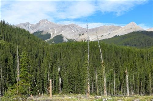
Our objectives Belmore Browne Peak (right) and Tiara Peak (left). Note Snow photo taken on earlier trip to the area.
There are many small stream crossings, each had some logs placed which made crossing easy. The trail joins up eventually with the main stream which provides valley access. The trail along the creek comes and goes and at times you must return to the creek. This is also where the tricky part comes because there are numerous other creeks coming in from the left. One of these was our eventual exit route from the Tiara Peak Valley. The key when approaching Belmore Browne is to always pick the creek on the right.
When we finally reached the access ridge to Belmore Browne we went about 250m further where someone had placed a ribbon. We also identified a drainage gully which had some hiking activity. This turned out be a good route up because not only was the terrain easy, it also provided shade a good part of the way up because the sun was getting hot.
We reached Belmore Browne Peak at 11:50am and had a 30min 1st lunch.
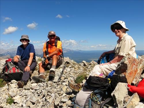
1st Lunch on Belmore Browne (W) Peak
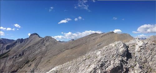
Looking Toward Tiara Peak from Belmore Browne Peak
We then proceeded along the connecting ridge with numerous up and downs.
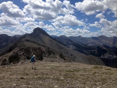
Mary on the ridge between Belmore Browne-Tiara Ridge
One of these requires some scrambling but as long as you initially get on top it is easy. If you try and stay low and go around this point it is troublesome.
As you approach Tiara Peak from the north the face looks rather daunting.
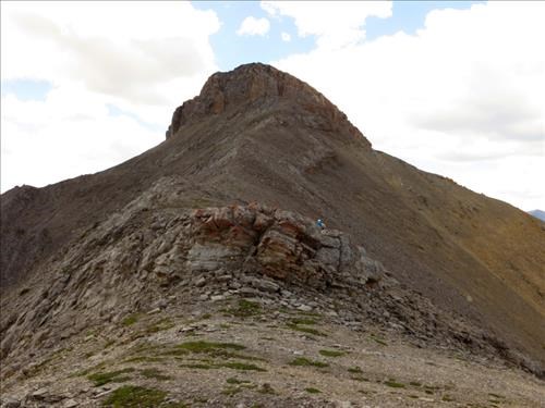
Approaching the ominous and imposing Tiara Peak
We circled around clockwise from the north to south side. There is a trail there but if you get too low on this trail you get into some ugly scree on rock terrain. As much as possible stay close to the base of the cliff wall.
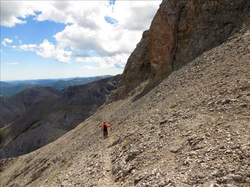
Start of the trail around Tiara, Stay high as close to the cliff as possible.
Along the way Greg spotted a chute up to the summit He went part way up and it appeared to be improving. The rest of us were going to follow but then had second thoughts because it appeared to be above our skill level and was so narrow that it presented a significant rock fall hazard. We also had no scrambling helmets. Three of us continued on to the south side and made it to Tiara summit at 2:30pm where we met up again with Greg.
Greg confirmed we had made the right decision to not follow him. The route up the chute for Greg did not get better, it got more difficult. He enjoyed it.
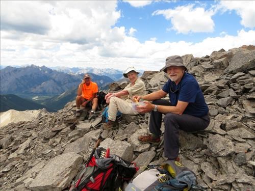
2nd Lunch on Tiara Peak
After a second 30min lunch on the summit we proceeded down at 3:00pm. After descending and circling back around part way to the east side of Tiara we descended down a scree gully taking us down into a side valley. Before meeting up with a smaller creek bed we had to go through a treed area on the north side of the gully.
More oo less following this creek it connected to the main creek that was our route in. We got back to the vehicle at 5:40pm.
From the ridge and two peaks there were great views of Mt. Baldy, Midnight Peak, Wasootch and Porcupine Ridge. The distance traveled was 13km and the bottom to top elevation gain was only 800m but with the numerous downs and ups the accumulated up was about 1070m.
Everyone had a great day on the Belmore Browne Peak, Tiara Peak and connecting ridge, a lesser traveled route.
Thanks to Mary, Greg and Peter for joining me, Harold on this hike.
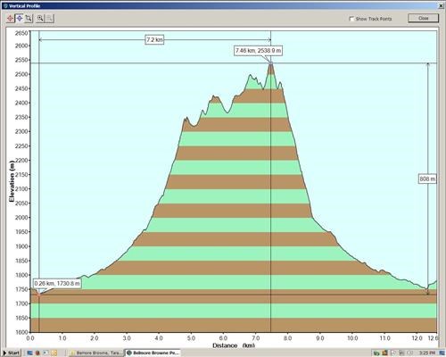
To Belmore Browne Peak and traverse to Tiara Peak
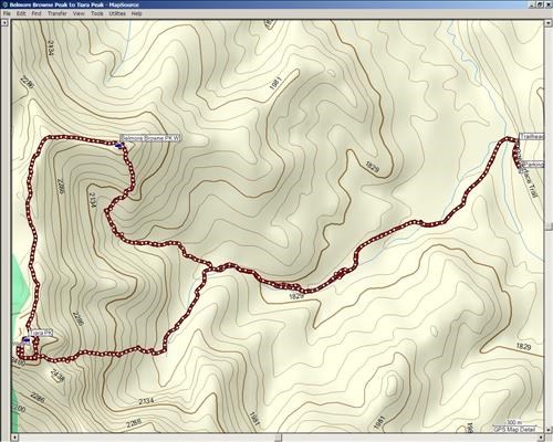
GPS Track of the Route on a TOPO Map