Bison Peak Scramble on 12-Sep-2015
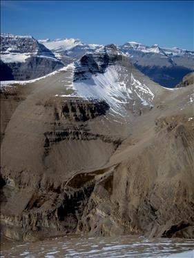
Bison Peak from South Totem Peak
Graeme Pole reported a climb of this peak in 1988, apparently assigning the name Bison Peak. Vern Dewit climbed it in 2013 - his report provides great detail and photos.
We started up Bison Creek, but soon realized we should be on the south fork. As it is smaller, the branch is not obvious but was soon found. We climbed up the stream bed. While not particularly stable, a number of 1-2 m. cliffs offered interesting scrambling. Higher up, a series of traverses took us through the cliff-bands to the upper bench.
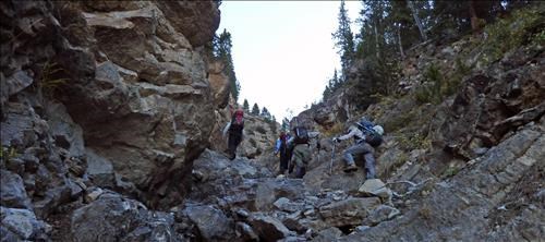
Climbing the creek
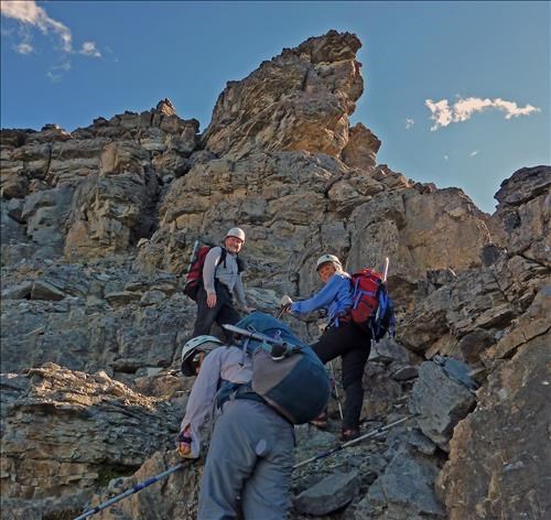
The upper benches
From there, a left ascending traverse looks attractive, but Pole and Dewit state that the route goes to the right up a narrow coulier to the upper slopes. While loose, the scrambling was relatively easy.
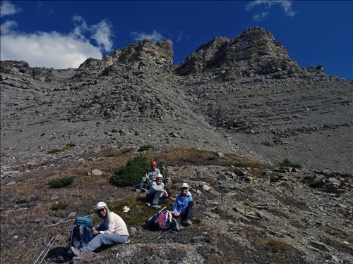
Below the couloir
Above the coulier, 45 minutes of climbing the upper slopes leads to the summit.
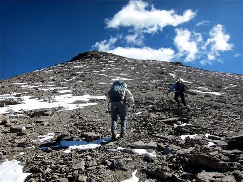
The final slopes
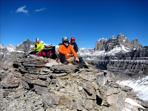
So many peaks
Views from this summit are terrific with views.
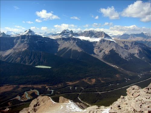
Epaulette, the Kaufmann Peaks, Sarbach with the Freshfields behind
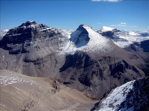
Totem Tower, South Totem and Spreading Peak
This may be the best peak for viewing the Murchison Towers.
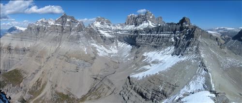
Left to right are Gest Tower, Murchison SE and Fuez Tower, Bison Tower, Englehard and Cromwell Towers forming a single mass, Hall Tower in the back and the shorter SE Tower to the right.
Eight named lakes are visible from the peak although Epaulette Lake is not visible in this photo.
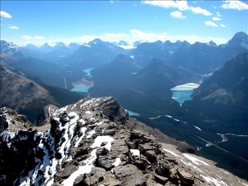
View south with Bow, Peyto, Mistaya, Upper Waterfowl, Lower Waterfowl, Cirque and Chephren lakes
The loose rock was a bit of a problem on the descent, but was managed by keeping a close spacing and careful footwork. Once down through the cliff-bands we stayed on the shoulder of the creek, avoiding the loose rock and enjoying soft footing on the way down.
Thanks to Arnold (photos), Terry, Alda, and Sim for joining me on this climb.
The trip took 8 hours and was 8 km in length with 1260 m. of elevation gain.