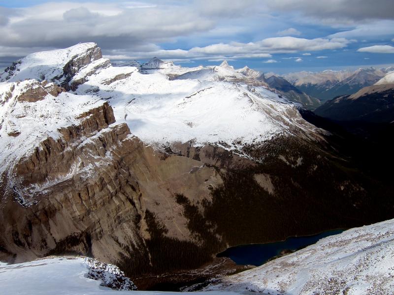
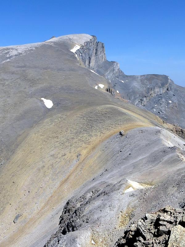
Quill Peak from Conical Peak
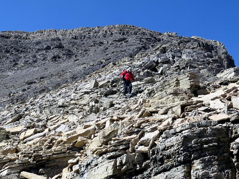
John and Sim agreed to join me and we left town at 5 AM, putting us on the trail at 7:30 AM. The animal trail up Silverhorn creek went quickly. A cirque to the east of the creek allows access to the ridge system east of Mount Weed, and the first peak (2920 m). We were able to stay on larger scree on the way up and got our first views of distant peaks. Here Mummery and Breaker can be seen behind John.
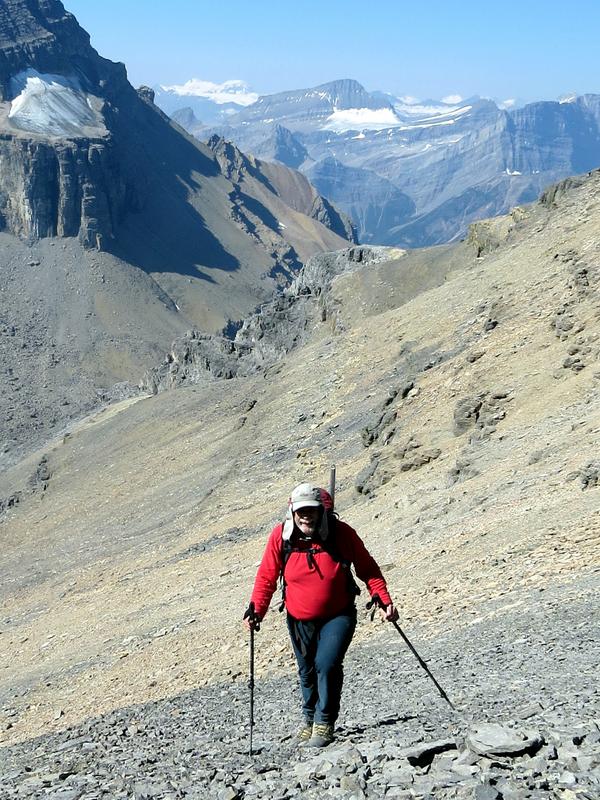
John with Mummery and Breaker in the background
The east side of this peak has a glacier. Only a few crevasses are present and seem to be more a result of melt water flow than flow of the ice. We cramponed down this glacier to the col between the first peak and the second peak (also about 2920 m).
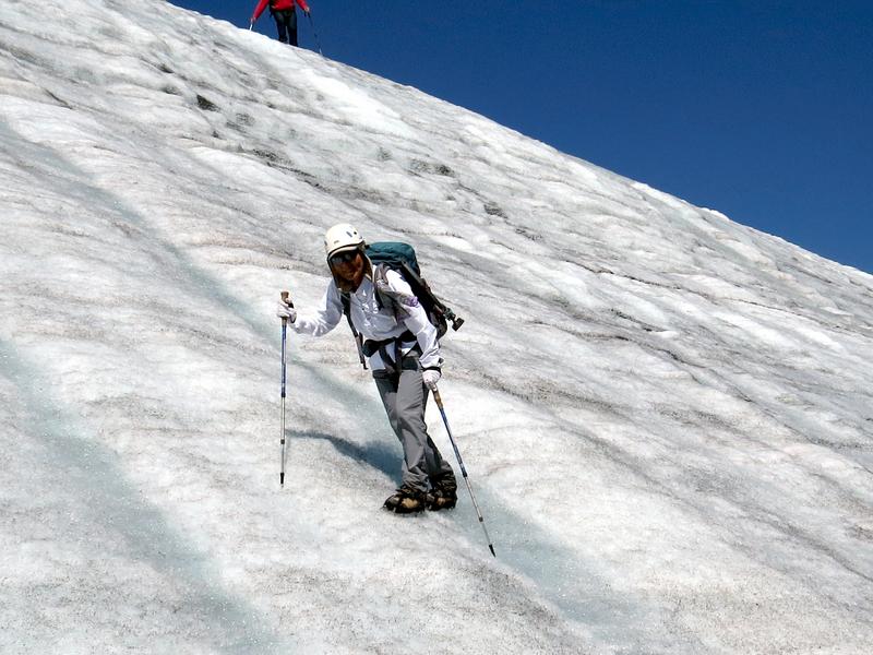
Sim on the lower glacier
This is the glacier from the second peak.
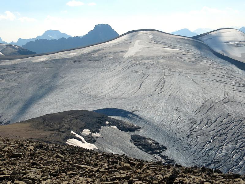
The glacier
Easy scree led to the top of the second peak. Our objective started to appear within reach. The true summit is the little peak on the left.
Quill Peak from peak 2
Moderate scrambling took us down the east side.
John descending the east side of peak 2
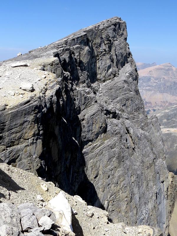
Before getting to the final slopes of Quill Peak, it is necessary to go over another two small peaks. This route is regularly used by goats and is about SC6. The goat track follows the visible ledge two-thirds up the left peak.
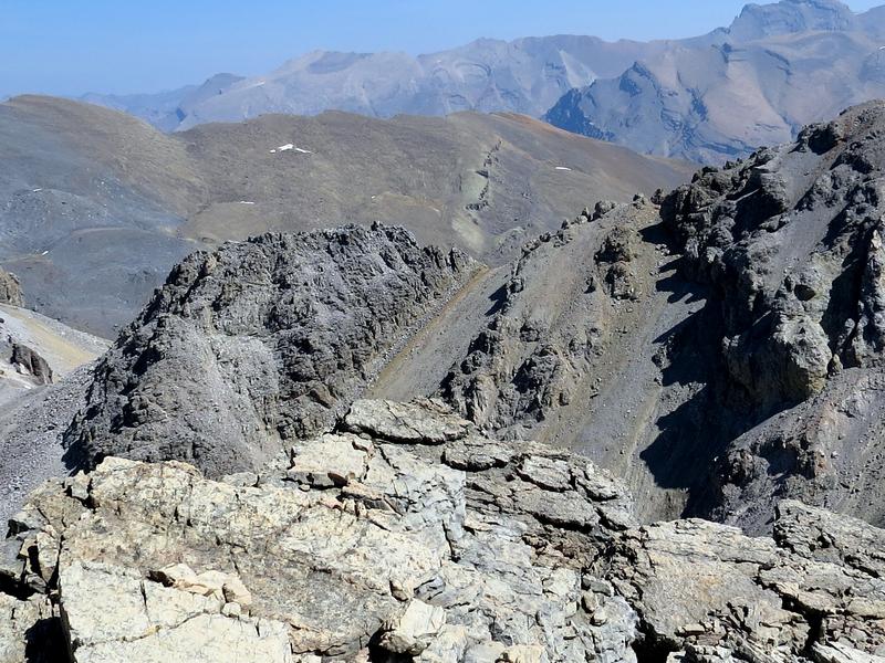
The traverse over the small peaks
The south ridge of Quill Peak is fairly gentle, if long. This photo of Sim shows the small peaks and the second peak.
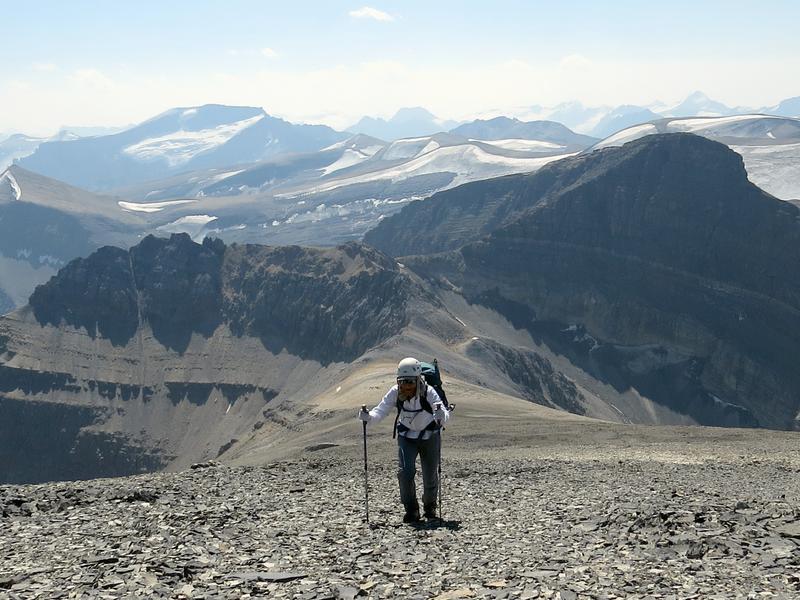
Sim with the small peaks and the second peak in the background
Sim found a group of Ptarmigan. Nice plumage.
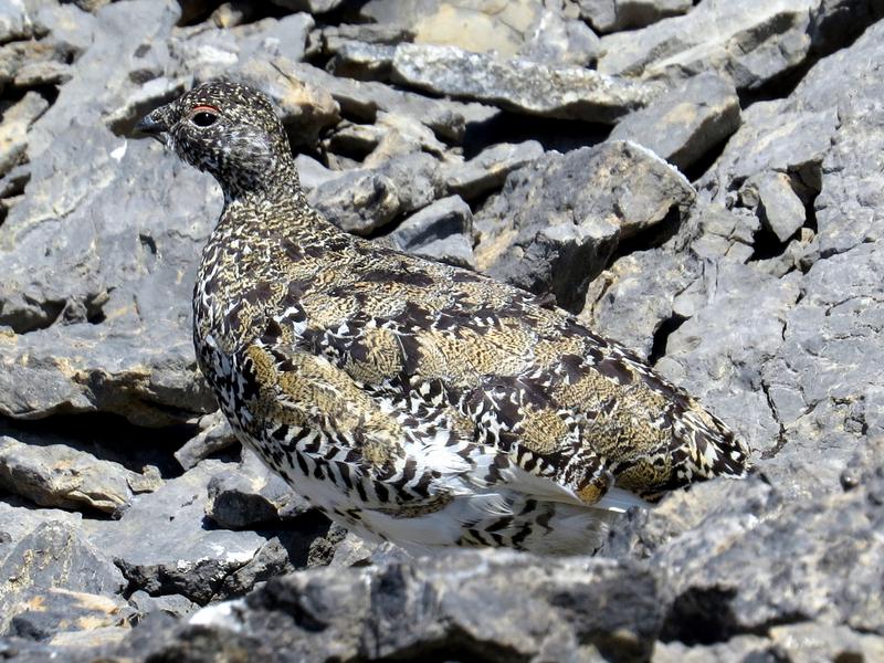
Ptarmigan
Finally the true summit appeared.
True summit of Quill Peak
With a strong west wind blowing much of the day, the smoke had cleared, providing us with quite good views. Here are Augusta, Harris, Willingdon and Clearwater, with Kentigern in front.
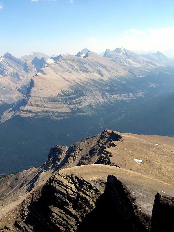
Augusta, Harris, Willingdon and Clearwater, with Kentigern in front
While no register was found, someone had built an impressive cairn.
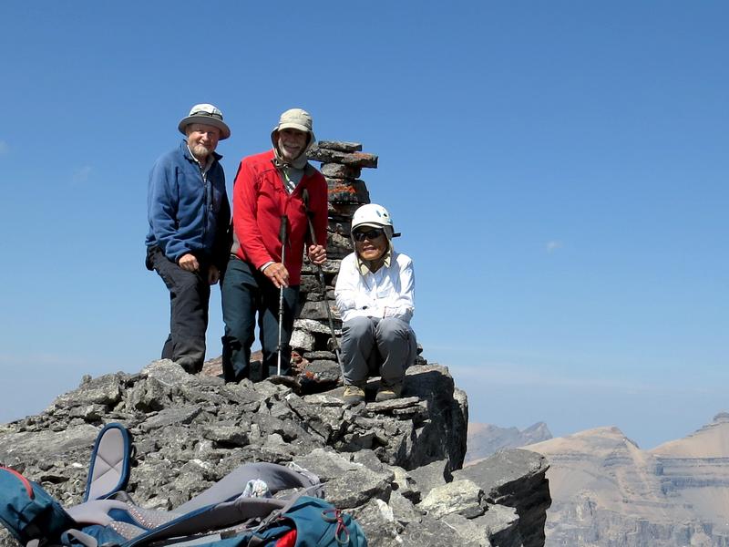
Bill, John and Sim with the summit cairn
The trip back out had us climbing over all of the minor summits. We got back to the car at 9 PM.
The trip was 26 km with 2240 m of elevation gain and took 13.5 hours.
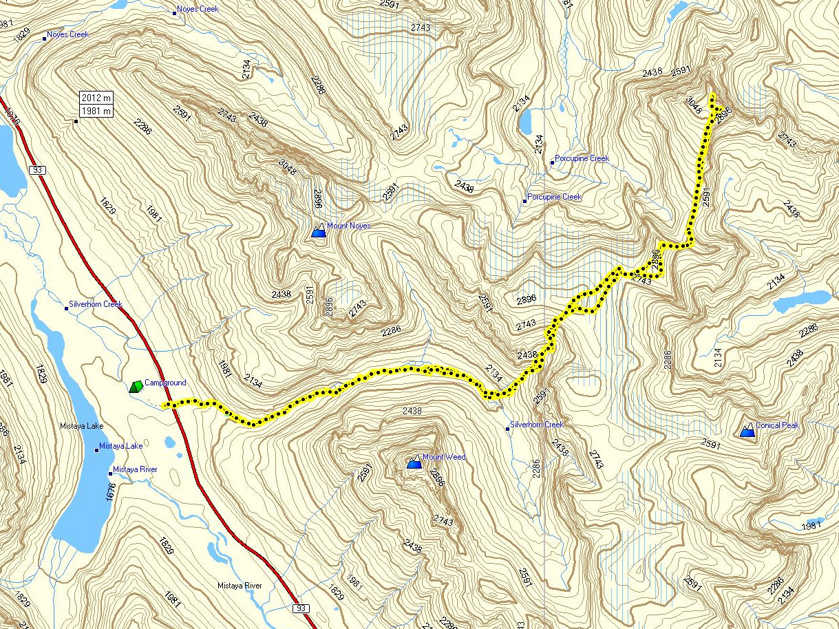
Quill Peak track
Thanks to Sim and John for joining me on this remote exploration. Bill (C)