Mt Charles Stewart South Peak Scramble on 20-May-2015
The trip was less straight forward than planned. Since the flood, Stoneworks Creek is a mess, resulting in Johnny's Trail being obliterated for large sections for a couple of kilometres from the trailhead. We missed the trail part way up and ended up in a sub creek less than a kilometre South of Stoneworks Creek. To get back on route we went up and over a rocky rib and descended into upper Stoneworks creek on a game trail. Our unplanned detour unfortunately cost us over an hour in lost time and 100 metres of extra elevation gain. Once in upper Stoneworks Creek we spent the next 45 minutes rock hopping up the creek to a small waterfall where we had a short rest break.
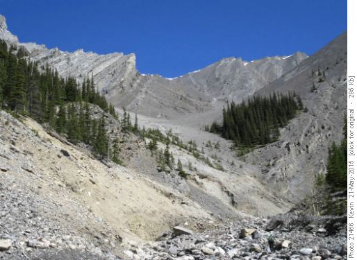
Upper Stoneworks Creek
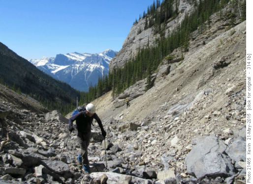
Manfred rock hopping up through the debris in Stoneworks Creek
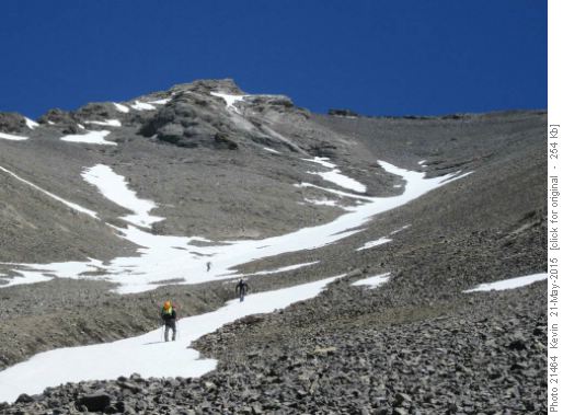
The upper scree slope below the South Peak of Mt Charles Stewart We then began heading up the very long scree slope leading to the ridge below the South Peak of Mt Charles Stewart. The broken rock on the bottom half of the scree slope made for reasonable footing. The higher one goes, the worse the footing gets, with the final 200 vertical metres of scree having a soft ball bearing consistency.
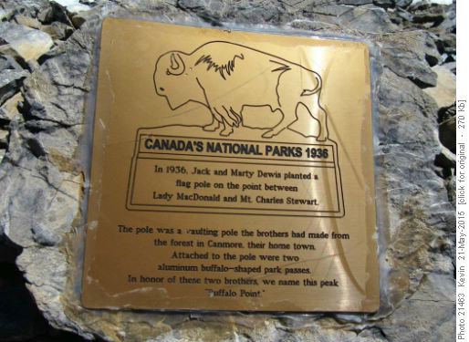
Placque on the summit of the South Peak Once on the ridge, it was a short easy walk to the summit. One of the group chose to avoid the upper section of scree and followed a line up the West ridge. This proved to be a more difficult route and took additional time to negotiate. Once on the summit we were able to the enjoy the spectacular weather and views.
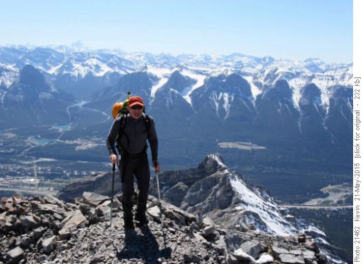
Clifton at the summit after coming up the West ridge
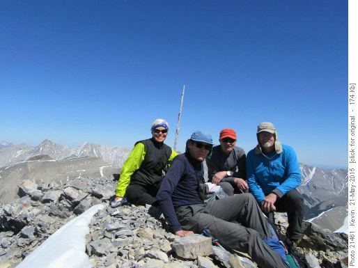
Perfect weather on the summit of Mt Charles Stewart South Peak On the way down we were able to use the soft scree and snow to quickly lose elevation.
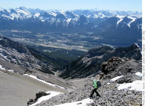
Alda starting the descent with Canmore below
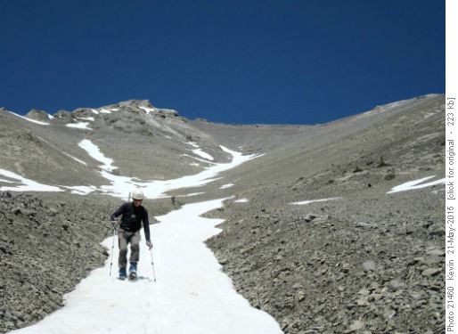
Using the snow to descend the scree slope We followed Stoneworks Creek down through Stoneworks Canyon, where we eventually intersected the upper section of Johnny's Trail. The upper section of Stoneworks Creek and Stonework's Canyon suffered significant damage from the flood and are choked with boulders and debris.
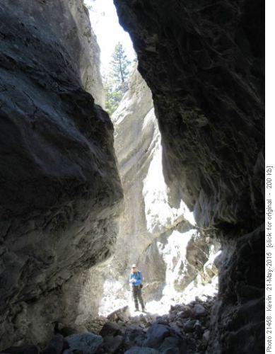
Stoneworks Canyon Even on the way out, following the trail over the last 2 kilometres was iffy, due to extensive flood damage. I would recommend that anyone wishing to do this trip have a GPS track of Johnny's Trail to avoid any unwanted detours.
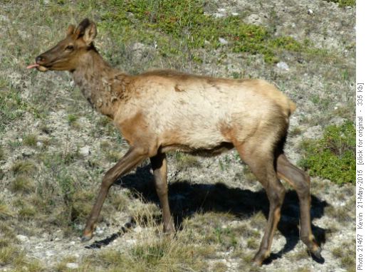
Young bull elk gives us 'the raspberry' Thanks to Manfred, Alda, and Clifton for their great company and for joining me Kevin on a Wednesday adventure in the mountains. Total distance 15 km and total elevation gain 1500 metres.


