Evangeline Peak Scramble on 4-May-2015
We had a great day in an area that we haven't often visited. We ascended Evangeline Peak and returned via Rum Ridge. It was a long day with 5+ hours of driving and 9 hours of hiking.
It took just over 2 1/2 hours to drive (via Sundre) to the Big Horn campground just a few km shy of Ya Ha Tinda Ranch. A few minutes from the car we were at the Big Horn Falls.
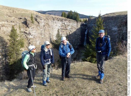
At Big Horn FallsShortly after that we had a good view of Evangeline peak and much of the longer ridge of which it is the highest point. After a bit of discussion and viewing about six electronic devices we agreed of our destination and proceeded. We were partially on stock trails, old logging roads, older clear cuts and eventually had mild bushwhacking to get up to the bald spot that is a minor sub peak on the west ridge of Evangeline.
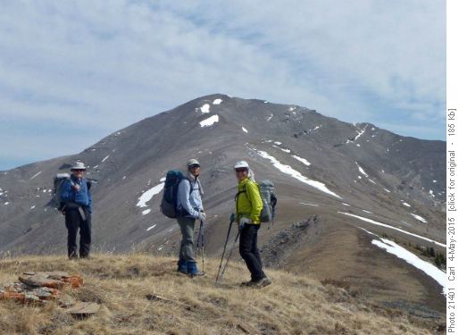
Easy ridge walk up the final 2 km of Evangeline PeakTime to the summit was about 3 1/2 hours of easy hiking (OT4 in Rambler terms)
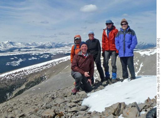
Sim, Carl, Alda, Manfred and Bill on the summit of Evangeline PeakThe views from the top were very interesting. A few of the peaks that we thought we could identify were Black Rock, Devil's Head, Aylmer, Drummond, St Bride, Richardson, Cataract, Hector, Molar, Recondite. Others especially further north were intriguing but not identified. We returned via the much more challenging Rum Ridge which is the second west-running ridge south of our ascent route. This turned out to involve quite a bit of moderate scrambling (SC6). Most of the challenging bits were on the descents off Evangeline and especially off the sub peak between the two.
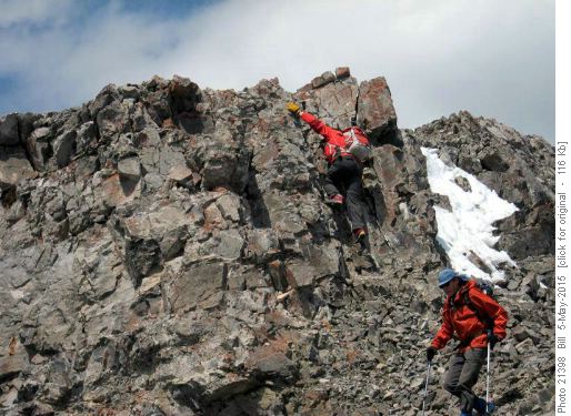
Manfred and Carl downclimbing
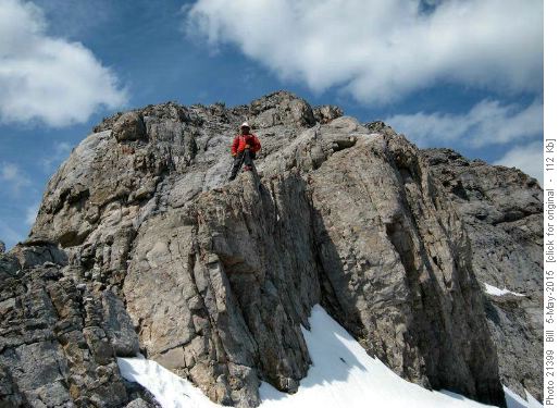
Carl on the south ridge of EvangelineThere is some tedious scree to climb up to Rum Ridge and some interesting scramble along the longish ridge. Several stretches can be taken along the ridge or on the left (south) side. Eventually we reached the high point of the ridge which Vern Dewit calls Lilly Peak.
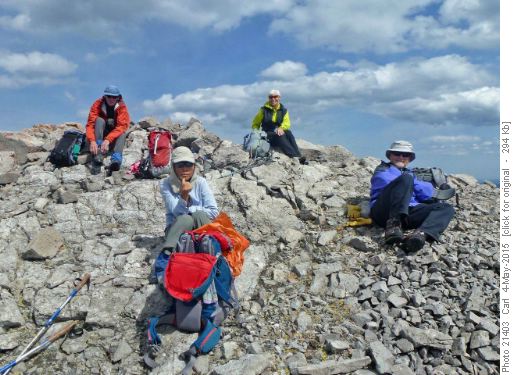
At the summit of Rum RidgeWe returned to the car initially on the long ridge running west, then a bushwhack down a long slope, and then across the grasslands mainly on livestock trails. All of that pretty close to a bee-line for the cars.
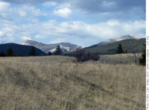
Evangeline Peak (left) and Rum Ridge (right) from near Big Horn campground Many thanks to Alda for the trip idea (which she had gotten from Bob) and for driving, and to Sim, Bill and Manfred for joining me, Carl (C/S).
The GPS track from Bill:
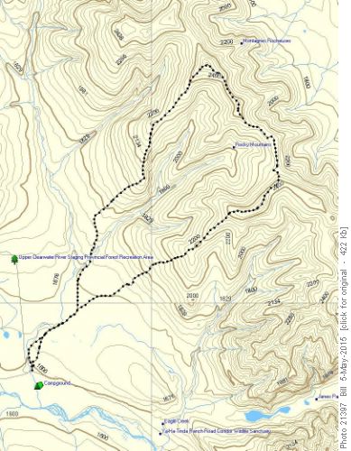
Evangeline Peak routeThanks also to Vern Dewit for his excellent trip descriptions:
Evangeline Peak
Rum Ridge


