Tombstone Mtn South 407165 Scramble on 5-Jul-2014
Six Ramblers started up the Elbow Lake trail and made quick progress to Elbow Lake and continued along the Big Elbow trail towards Piper Creek. To gain access to the South ridge of Tombstone Mountain we left the trail, endured a short but thick bushwack and forded the fast moving Elbow River. A second ford across Piper Creek brought us to the lower slopes of the South ridge of Tombstone. Once the rock is reached, the route provides enjoyable scrambling on solid slabs.
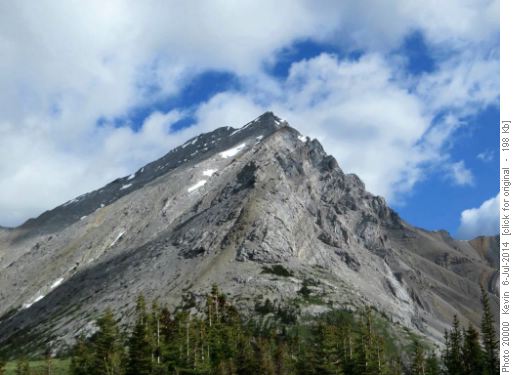
Tombstone Mountain South
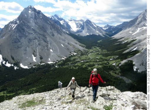
John and Brian on the lower section of the South ridge Although the sun was shining, the temperature was actually quite cool on the ridge due a strong northerly wind.
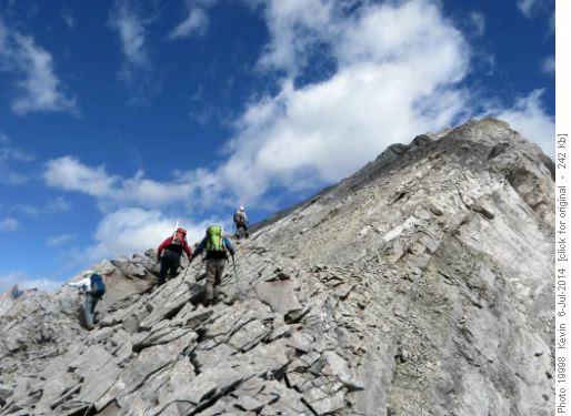
Firm slabs on the middle section of the ridge On the upper section of the ridge, an over-exuberant trip member deviated from the normal Kane route resulting in the group scrambling a difficult exposed ridge section for about 30 metres. After a group discussion, we traversed left back to less exposed slopes and continued up towards the false summit. The route variant has been named - 'Brian's Excellent Adventure' in honour of the enthusiastic member.
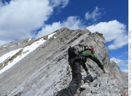
Damian scrambling on a more exposed section of the upper ridge Given that most of the normal route is on slabs, the dry conditions on the ridge allowed for enjoyable scrambling. Only one small short section of snow was encountered just below the false summit.
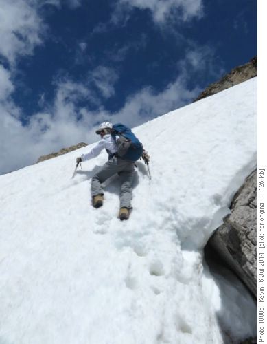
Sim ascending a short steep snow section below the false summit After reaching the summit ridge, a short traverse led to the true summit.
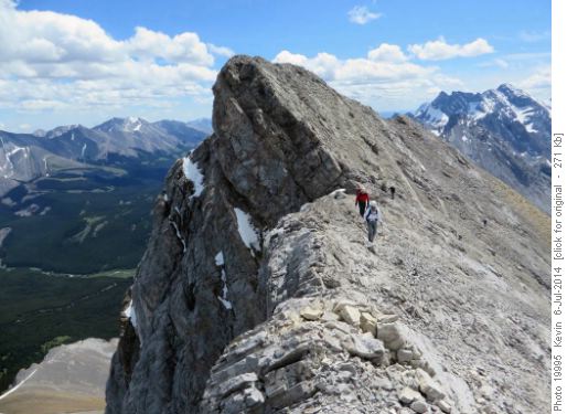
Traversing from the false summit to the true summit
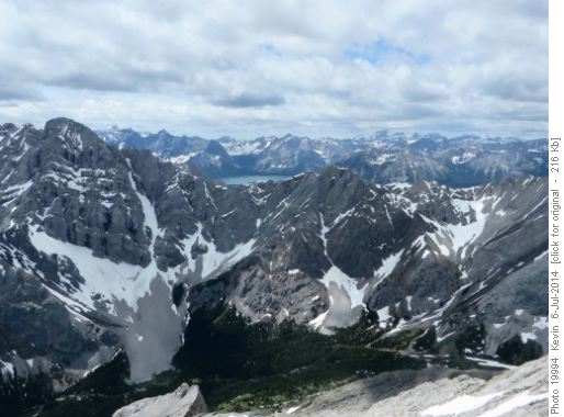
Upper Kananaskis Lake behind the North ridge of Elpoca Mountain The summit of Tombstone Mountain provides excellent 360 degree views. We were even able to clearly see Mount Harrison - the most southerly of the 11,000 footers in the Rockies.
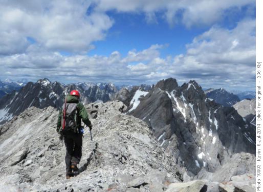
Looking North from the summit cairn
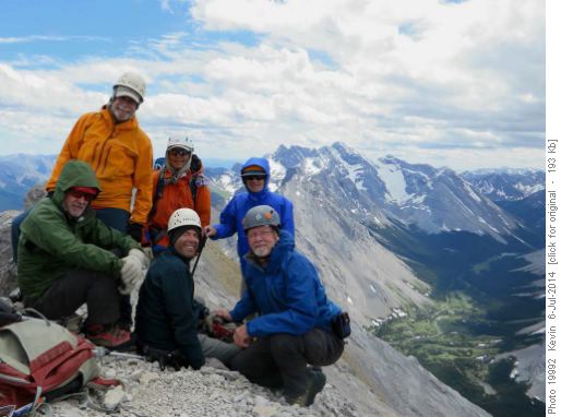
Summit of Tombstone Mt with Mount Rae in the background After an extended lunch break on the summit, we followed Kane's descent route down the SW slope. The descent was combination of scree, broken low angle benches of slabs and a snow gully on the lowest section.
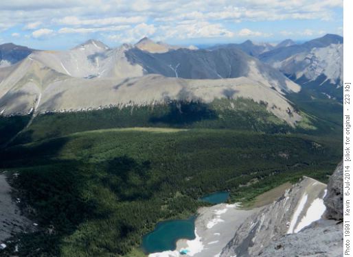
Tombstone Lakes from the summit of Tombstone Mountain
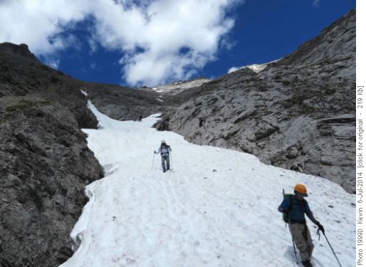
Heading down the lower section of the Southwest slope of Tombstone We hit the Piper Pass trail at tree line and followed it back to the Big Elbow trail. This added a couple of extra kilometres and still required recrossing Piper Creek and the Elbow River. Thanks to John, Damian, Sim, Clifton and Brian for their company and for joining me, Kevin (S/C) on a very enjoyable day in the mountains. Total distance was 17 km, net elevation gain was 1020 metres and total time was 8.5 hours.


