Opal Ridge traverse - N Peak 312308 then S Scramble on 11-Jul-2012
At the start of the route we found some blue flagging which took us to the powerline. I think the easiest route was a little way north of where we went up. After ascending some slabs by a buttress we intersected a cairned trail that came up the ridge to the north of us.
There are two summit blocks at the north end. The first one has an easy bypass around to hike up to the summit though some chose to scramble it directly. There was a centennial register here but this summit is lower than the next one. The second one also has an easy, but exposed, bypass to the east but no easy ascent route and no scrambling descent route off the end to the south. The scrambling on these summit blocks ups the rating to SC7 in my opinion - but it can be avoided as some chose to. Good description in the trips database of the second bypass that I took - thanks!
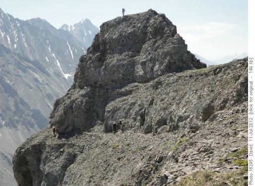
Opal Ridge North Peak
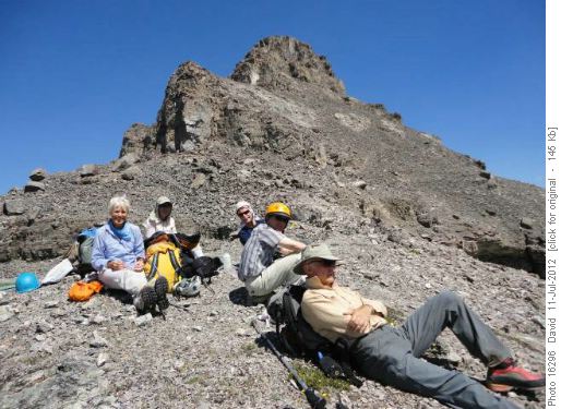
Alda, Sim, John, Clifton, and Damian enjoy lunch with Opal Ridge north peak behind
The rest of the scrambling I found easier and I enjoyed with great views of the Opals, Joffre etc. and we could see what we think was Old Goat mountain looking snowy.
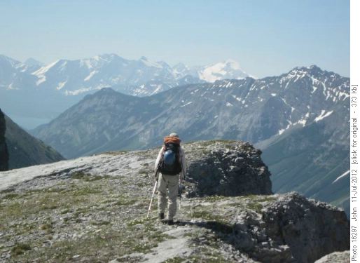
Sim on Opal ridge with a view of Joffre
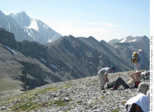
View of Opal ridge looking South from a first high point (Opal north out of site on left).
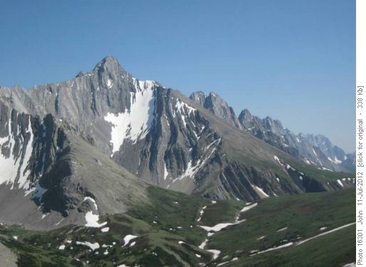
Mount Evan-Thomas
One cliff band on the ridge is not scrambling and, as described in the book, involves a descent with loose rock followed by a bit of a grunt back up to the ridge. A great first scramble of 2012 for this out of shape former Englishman, but, being somewhat bagged, a couple of us headed down the "trail" that comes up from the Fortress gas station. The other four carried on to Grizzly creek where we all met just before 7:00 pm. I forgot to look at our departure time but it was probably around 8:30 am I think. Sim's watch measured around 1650m total elevation.
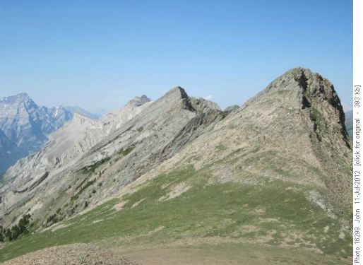
Opal ridge looking North
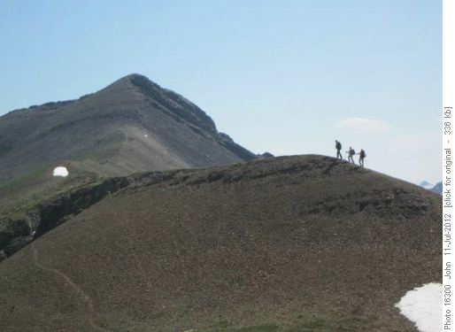
Hiking south end of Opal ridge