Badlands Hikes and Historic Walks Off-Trail Hike on 5-Jun-2011
The coordinator almost lost half of the group by missing the turnoff for Beiseker, but fortunately we had exchanged cellphone numbers so this got sorted out fairly quickly. We took the milk run through Beiseker, Acme and Carbon to get to our first stop - a viewpoint of the Red Deer Valley, both north and south.
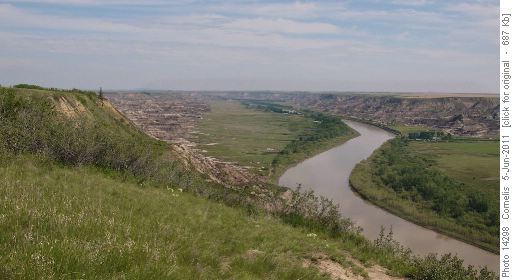
View North at Orkney Viewpoint. Badlands are along both shorelines of the Red Deer River. Horsethief Canyon on right.
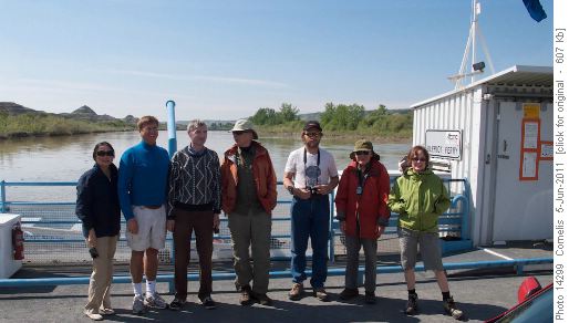
Across Red Deer River on the Bleriot Ferry, just North of Horsethief Canyon.
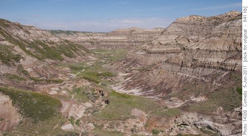
Horsethief Canyon looking NW from the parking. To get to the Red Deer River, make a left at the end.
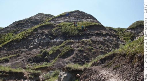
The descent from the parking into Horsethief Canyon is a bit steep at times. Fortunately, the bentonite clay was dry!
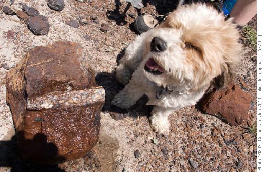
Hiking North along the Eastern limit of the floodplain, we found Phoebe a nice 70-million year old bone. Probably from a Rambler-o-Saurus! It was the same bone we encountered on the Rambler hike of May 2008 (confirmed by GPS).
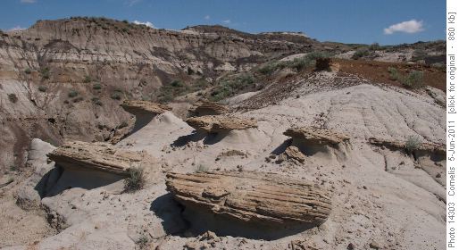
We hiked South across the floodplain to where an eroded ridge stretches to the river. The ascent it offers back to the parking is easier and less steep as compared to where we descended into the canyon.
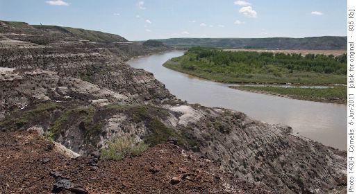
Ascending the Southerly ridge back to the parking, looking downstream (South).
As it was a hot day the Tyrrell Museum cafeteria beckoned for liquid refreshments. Once filled we explored the kilometer long interpretive trail beside the museum. Then it was off to McMullen Island in Drumheller to check it out This is not a true island anymore but we did discover information on an exhibit here about three generations of a family who resided here working in nearby mines. Time was passing quickly so after a brief powwow it was decided to check out the Rosedale Suspension Bridge then go for a beer at the Last Chance Saloon in Wayne. The bridge and its history was interesting but most people were interested in Wayne and the quaffing of a beer. The road to Wayne has nine bridges in 6 km. It ended up being beer and supper as the time was after 6:00pm when we arrived in Wayne. Food hit the spot and prices were reasonable so it made for a good wrap up to our tour. Everyone headed home after this with some historical memories of the Drumheller area.
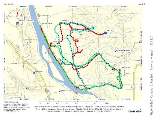
Horsethief Canyon Area, 5 to 10km. Elevation change <100m. Today: cyan-colored loop; 7km. (Click image for detail)
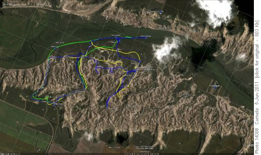
Satellite image: Horsethief Canyon & Red Deer River. North is bottom-right. (Click image for detail.)
Thanks to Cornelis, Ken, Wally, Larry, Peter, Janet, James and James's guest Lillianne for a most entertaining and enjoyable day. Thanks to Cornelis for the guiding in Horsethief Canyon which was new to the coordinator and for the photos.
Bob - Coordinator and Scribe