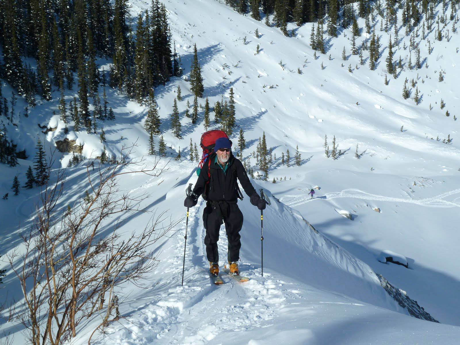
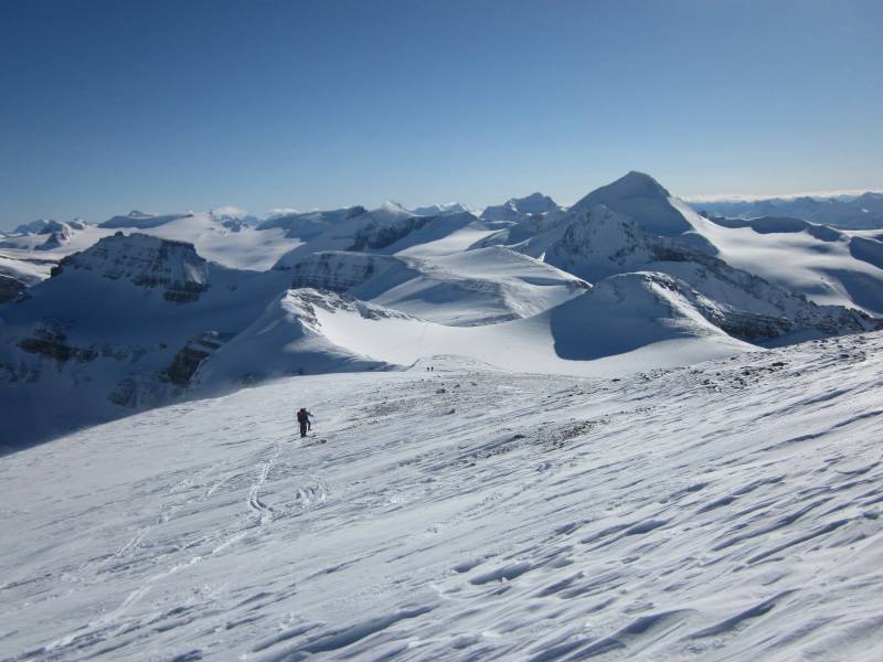
Arnold ascending Peyto moraine on way to Peyto hut.
Peyto glacier, Rhondda and Mount Habel
Peyto hut February 2011
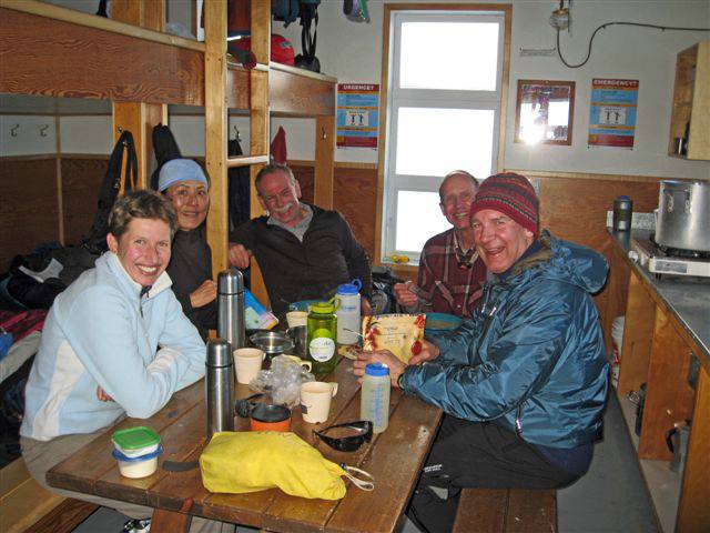
The hut filled up overnight with one tired fellow getting in around 8:30 pm - his group were on the Wapta for 8 days and had a lot of food and liquor. On the way into the hut we had met and chatted to Rambler alumnus, Heather and friend who had tried Mistaya the previous day. They had run out of time (though they tried from the highway) so we decided to try and leave at 7:30 am. We got away around 7:45 with people commenting "there is something wrong John - we can see the tops of mountains" a reference to a few trips I have coordinated into Peyto hut where we have not seen much but blowing snow. This occasion, though, was shaping up to be a special Wapta day.
We followed Chic Scott's route description to the col at GR290261. A spectacular view from here south over much of the Wapta. To the north we could also see our destination with two peaks and the Great Divide between us and Mistaya Mountain. It looked possible to just ski up to the col between the two unnamed peaks - Lida suggested this but it looked steep just below the col. Last year the summit at GR 284269 was as far as we got, but on that occasion we were not able to see the terrain like we could on this trip. We decided to follow the summit route, but, the "descend a short distance to the northeast" as described by Chic intimidated us. It was not skiable on this day - we did consider boot packing down but in the end decided to try the other summit. So we descended from summit GR 284269 and started ascending the summit at GR 290273. We stopped for lunch on the rocks on this ascent in pleasant sunshine. Up the rocks we had to boot pack. Alas at this second divide summit we again ran into steep intimidating terrain. Our last thought was to drop down to the col between the summits and see if we could then get onto the small glacier from there.

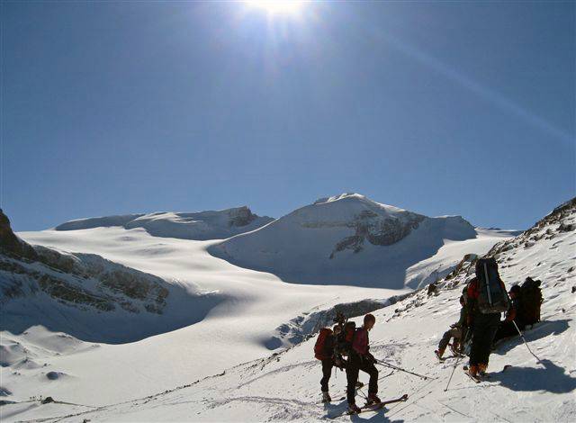
Mistaya routes
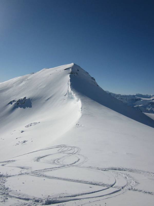
Summit #1 GR 284269
Summit #2 GR 290273
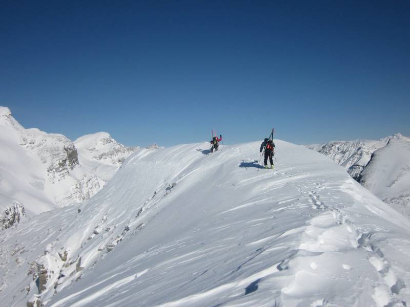
Descending to col after summit #2
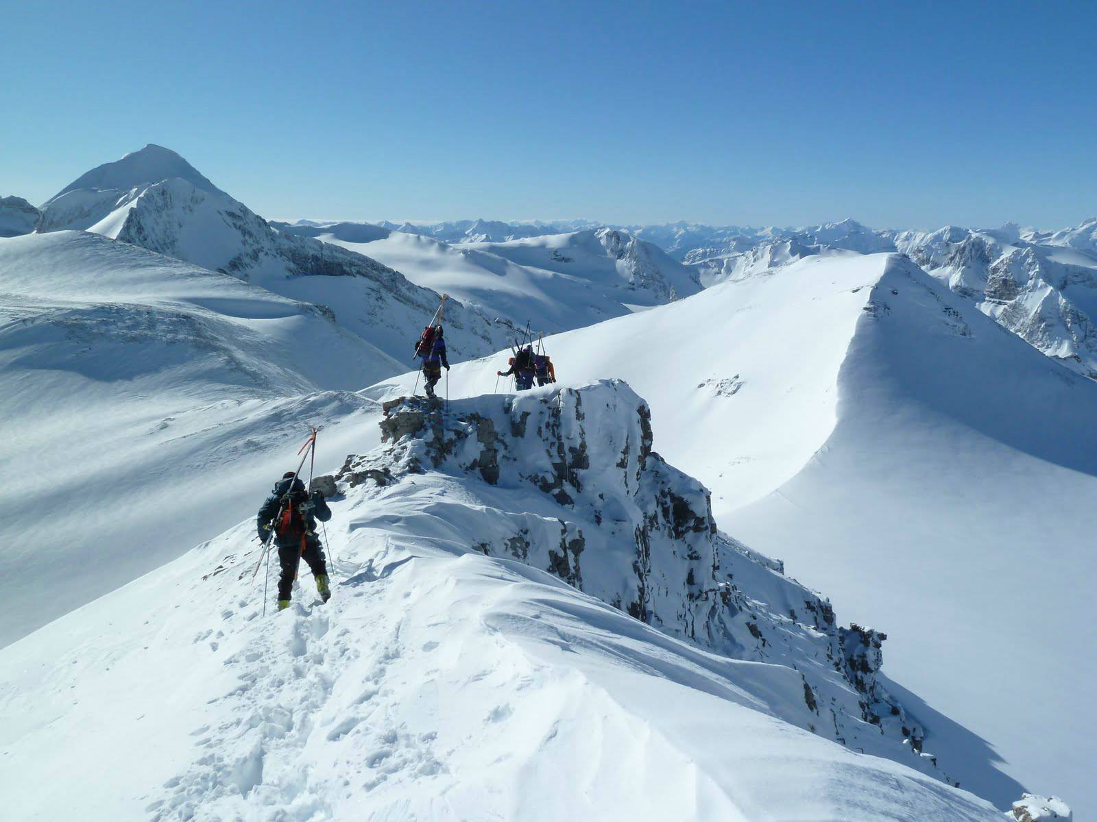
The final ski up the ridge runs right along the Great Divide with the Mummerys, Forbes and Lyells on one side and the front range peaks on your right. Spectacular! We got to the summit around 2:30 pm and one part, if not all, of Chic's description we fully endorse: "fantastic views from the top".
Mount Baker from the summit ridge Mistaya
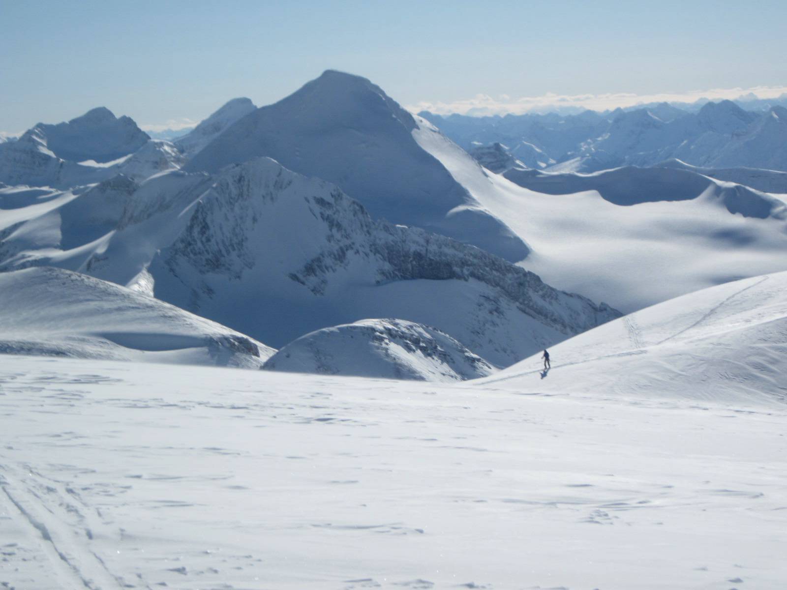
Looking west from Mistaya mountain

Summit Mistaya mountain
Descending Mistaya mountain
A busy evening at the full hut with various bits of food and liquor left by groups who realised they had packed too heavy needing to be cleaned up or packed out. The following morning some had the thought of trying North Rhondda (Mount Habel), but the temperature was no warmer and now there was significant wind which made it fairly unpleasant. We decided to head straight out via Bow hut and pick up a ride back to the Peyto trailhead. Leaving the hut around 9:00 am we were at Bow Lake just around 2:30 after a stop at Bow hut for lunch. A good call not trying Habel as the weather came in shutting down visibility on the peaks as we skied across the Wapta.
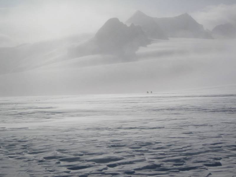
St. Nicholas, the Olive and .... wind
I think three things make a great trip: weather, destination and good company, for me this trip had all three. Thanks to the group of David, Arnold, Terry, Lida, Sim and Bob for patience, determination and cooperation on all aspects of the trip - but especially route finding!