Pasque Mtn 716587 Off-Trail Hike on 23-Oct-2010
I remembered getting a bit lost at the start of this trip many years ago and nearly succeeded in doing that again. Fortunately David had a new Gem Trek map which shows the route and helped us find the exploration road that gives easy access to the ridge. The road takes a route up to a spur ridge at one time switch backing directly away from the summit.
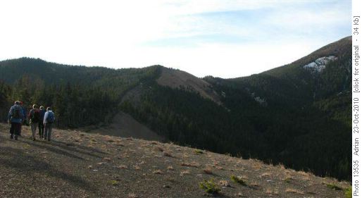
Spur ridge approach to Pasque mountain
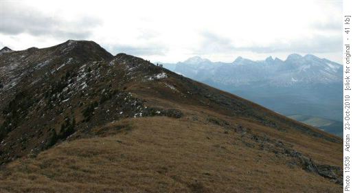
Pasque mountain ridge
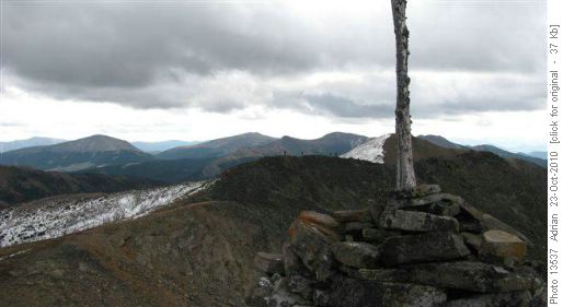
Summit Pasque mountain looking South
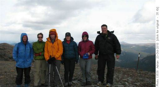
Cool Ramblers on Pasque mountain ridge.
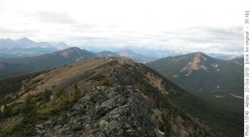
Heading north on the eastern side of the Pasque mountain horseshoe.
I mentioned that this trip, of all the trips I have done in the Rockies was, I thought, most like country in the Lake District of England near where I grew up. The exceptions were - you had to ignore the widespread coniferous forest, clear cuts, Rocky mountains of the divide to the west, no one else on the mountain all day (which would not happen in the Lakes these days) and we saw no sheep (neither Bighorn or domestic!) which also would not happen - so not really like the English Lakes at all!
We agreed to bushwhack down to Wilkinson creek at the end of the horseshoe. We did hit a trail that had been recently cleared. Dave's Gem Trek map showed and mentioned this trail but it came out on the road 2-3 Kms further away from our cars than if we bushwhacked down the creek. It looks like this trail runs up the valley and might be a way to do the trip in reverse. Doing our route in reverse, sticking to the ridge all the way,would be very steep on ascent. The valley route would be easier but in the trees mostly I think.
We had a few crossings of a mostly flowing Wilkinson creek - ice and slippery rocks provided a little extra challenge. After getting out to the road around 4:30 pm within a couple of minutes Jeannine had used her charm to get our two drivers into the back of a hunter's truck to get us to the cars and avoid the tedium of the road walk.
Thanks to hardcore Rita for making it a real Rambler's trip, Adrian for the photos, David for the Gem Trek map, Yolande for the compliments on my sandwiches and Jeannine for charming the hunters. Thanks all from coordinator and scribe John.