Peyto Hut and Mistaya Mountain Ski Mountaineering on 13-Feb-2010
After completing the short car shuttle - Celine doing it twice as another group we met was looking for a ride - we skied across Peyto lake and stopped for lunch. There was the least amount of snow down low that I have seen on the section below the moraine. We followed a beaten path up a ramp to gain the moraine. In the past we have n't gone that way as there is some exposure to avalanche slopes but we felt secure enough on this day.
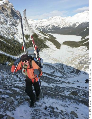
Bob climbing up the moraine to Peyto Hut
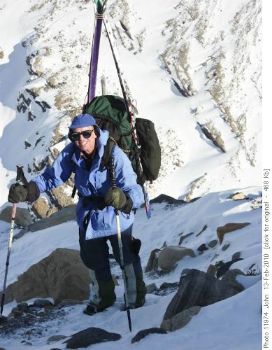
David walking up the moraine to Peyto Hut
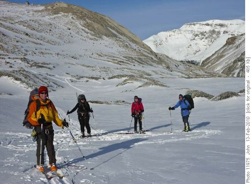
John, Alicja, Jeannine and David ready for the glacier ascent to Peyto HutI think we got to the hut around 5:00 pm. As usual there was no shortage of tasty food for supper: oysters and other hors d' ouevres, Alicja's chicken pasta dish with veggies and then chocolate pudding.
During the night you could hear a lot of wind which kept some folks awake. In the morning as we left the hut just after 8:00 am in poor visibility with the wind blowing us around I do n't think I was alone in being pessimistic of getting Mistaya. Hopes rose though as we crossed the Peyto glacier and the wind dropped. we gained a col NE of Trapper and pulled the map and GPS out. The wind was not bad but visibility was not great. There was then a rubbly descent that, initially, looked like a boot pack, but David found a route, mostly on snow on skiers right. We then climbed the steepest slope of the day to an unnamed summit on the Great Divide with a small cairn. This unnamed summit is mentioned in Chic Scott's Mistaya route description. We could see each other and not much else.
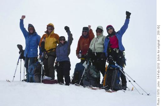
Unfortunately this wasn't Mistaya summit!!It was after noon so we had a quick bit of lunch here.There was some confusion as the coordinator was not fully familiar with his new GPS but, after he resolved that, we figured we were 1.8 kms and 200-300m of elevation from the peak. This photo taken the next day shows Mistaya on the right in the distance:
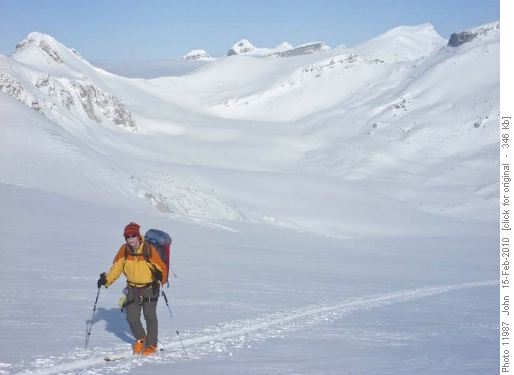
John climbing up towards Mt RhondaWe figured we were maybe 2-3 hours return from the summit of Mistaya and, given the poor visibility, skiing back in the whiteout, even down hill, might not be fast so it could be 4 hours back to the hut from where we were, maybe more if visibility deteriorated further. Four of us decided to start back to the hut. Celine and David decided to "take a look a bit farther", however, soon we saw them following our tracks down. They reported they turned round at a point descending the ridge where it became slabby and ended in a what looked like a knife edge arete. As Chic Scott mentions no issues on this descent I suspect, if Celine and Dave could have seen more of the terrain, an easy way down could have been found. Visibility did occasionally improve and the ski back, up and down, went uneventfully. We were back at the hut around 4:00 pm. Soup, Celine's Chili, rice, nanaimo bars, various other sundry chocolate treats shared by the group along with laughter and stories rounded off the day.
We woke up next morning to a bluebird day that looked much more promising - not a cloud anywhere in the sky!
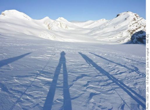
Morning Shadows - Wapta IcefieldBy the time we left the hut, around 9:00 am, though there was a tiny bit of cloud rolling up from the BC side over the Habel - Baker col. Given the conditions we decided to try going up Rhondda on the way to a Bow hut - Bow lake exit.
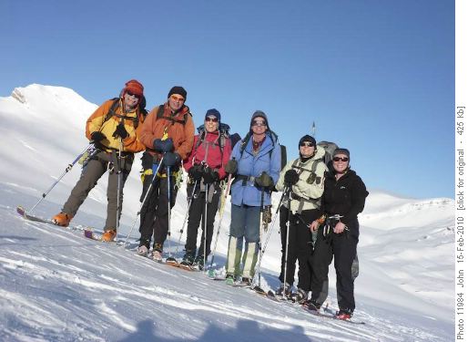
John, Bob, Jeannine, David, Alicja and Celine
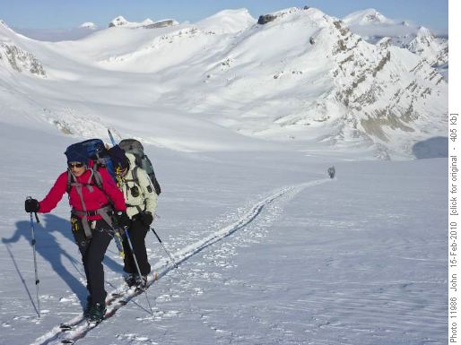
Jeannine and AlicjaAfter ascending the icefield below Habel for about an hour John realised he had left his axe in the hut. Fortunately a group staying at the hut had come up behind us in our track, but were going back to the hut and then out via Peyto lake, and they kindly agreed to take it out for him(thanks Dan, Laura and friend).Cloud had been building up all day and soon we were in the mist again. Initially we decided to dump some gear and still try for the peak along the ridge, but soon, with things getting more and more whited out, enthusiasm waned and we turned around. Out with the GPS and map again, this time with the compass as well, and we set off slightly south of east. I thought I remembered that it was best to kind of curve around to the right across the neve to Bow hut from Rhondda rather than be sucked down towards Bow glacier and falls. I think that basic route philosophy is true .... but I went a little too far south and found some small cliff bands on the east end of Rhondda which, initially, did n't "look right" (... out with he GPS and map again ....). We had no problems though and skied down in nice snow down to the Rhondda - Gordon "pass". A little more very gentle climbing than should have been necessary but once we were at the high point the coordinator was comforted to glimpse Portal Peak and the Onion - St Nick and Olive remained in cloud though at this time. On reflection we should have done more of a dog leg route and got clear of Rhondda before heading towards Bow hut, but it worked out, and we got to Bow hut for lunch just after 1:00 pm. Nice snow above the hut for skiing down. We met fellow Rambler Shirley and her son Alex out for a day trip up Gordon on this ski down to the hut. About 2 hours to ski out and then off to the Drake for supper and back in Calgary around 8:30 pm.
Unfortunately my record for the weather not cooperating when I organize these trips on the Family day long weekend remains intact. I had hoped to do a peak Sim has n't done (not an easy task) ..... as she had to bail from the trip ... the unnamed peak we climbed probably does n't count.... though it has a cairn. Thanks to David, Celine, Alicja, Bob and Jeannine for your contributions - those contributions and the bits of good weather we had made the weekend enjoyable for me (C&S John). Thanks to Celine for posting some great photos.
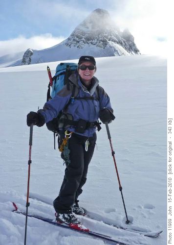
Celine and St-Nicholas in background


