Sandy McNabb Hills/Long Prairie Ridge Off-Trail Hike on 7-Feb-2010

It was a cold, dark, foggy & icy morning, when we left from Heritage, and did not improve until we stopped to refuel and coffee at Turner valley. As we drove West, leaving Turner Valley behind, we saw the "feet" of front ranges glowing under a band of low-hanging clouds. Soon, about 4km West of Turner Valley we left the clouds and fog behind us, and the skies opened, revealing the front Ranges from North to South under a deep blue, blemish-less sky. We hit the trail at 9:50AM, soon enjoying the sweeping view. There was hardly any wind, and soon we were in the bright sun and had to get rid of our jackets! The snow in the lower areas was very firm, and not too deep; we kept the snowshoes lashed to our packs. On the ridges, we had little snow, and mostly walked on grass. Bluerock Mountain dominated our view to the West.
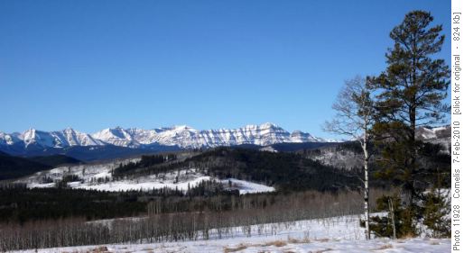
Bluerock Mountain (2,789m) due West of Long Prairie Ridge

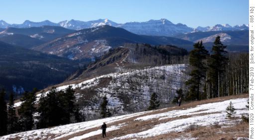
Before descending Long Prairie Ridge, we sat down on the grass to catch the sun, enjoy the view and have a snack. We crossed the valley, hiking through the snowy pine forest, and crossed the closed highway to Sandy McNabb Hills. On the grassy ridge we took yet another break to complete lunch and enjoy the sun. The sun already had sufficient strength to cause little heat-tremors in the air above the grass, the temperature was approx. 10 degr. C in the sun! The ridge took us gently up to Sandy McNabb Hill summit (approx. 1,500m), with a few aspen-grove dips on the way. The view across the Sheep River Valley towards the Front Ranges was great.

Looking West from Sandy McNabb Hill (1,500m), across Sheep River Valley and Mt McNabb (1,676m), to Bluerock Mt (2,789m)

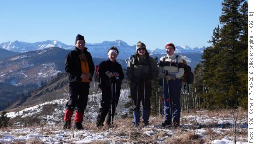
Cornelis, Barb, Cynthia and Dorothy-Ann, on Sandy McNabb Hill

Looking East, we saw the prairies were still hidden under a thick layer of cloud & fog; we actually looked across the top of these clouds. At the summit we took the usual Rambler picture, before hiking back down the Ridge, through the pine forest in the valley to the waiting van. We were back at 3:40PM after a leisurely, relaxing hike of 12.2km. Driving East to Turner Valley we were soon enveloped in the icy, grey fog and it became virtually dark, all the way to Calgary. Thanks Ladies for coming on this hike! Participants: Cynthia, Barb, Dorothy-Ann and Cornelis (Coordinator, Photos & Scribe).
Edit report | Back to List