Muleshoe Ridge Off-Trail Hike on 8-Oct-2009
What a great day we had hiking up Muleshoe! Originally the trip was to be Mount Wendell via the “chimney / log” route but was changed due to unstable weather reports. What a faboulous choice it was (thanks to Carl for that) as I came to learn it is in an area that gets less “weather” and snow than the peaks right next to it.
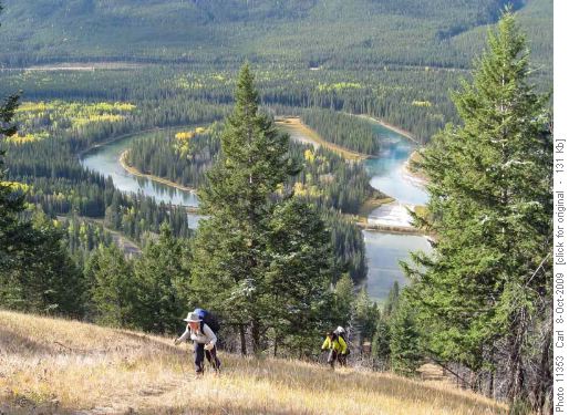
Climbing Muleshoe Ridge (Muleshoe Lake and Bow River in background) There is a well defined trail off the #1A that leads all the way up for 580m which at that point you encounter a blow down area and the remaining 220m elevation gain.
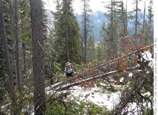
Clambering over ugly deadfall For this part you just need to pick your way through it the best you can and if I may suggest, don’t wear shorts!
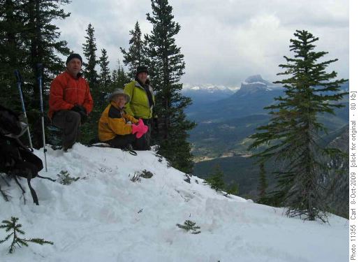
Carl, Ealaine and Adrian on Muleshoe Ridge (Castle Mtn in background)
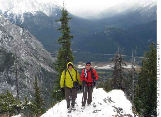
Adrian and Carl on Muleshoe Ridge (Bow Valley in background) Even though this upper section represents just a quarter of the elevation gain, it took almost half of the total trip time to get through. As far as snow cover, our trail was bare and dry up to 250m below our destination, and even then it was less than ankle deep.
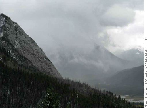
The weather rolling in as we complete the hike It was only on the very top that we encountered snow of 15cm. We were in sunshine pretty well all day and enjoyed the outstanding views. It was only on our descent that the weather started to cloud over. By the time we were heading home on the TransCanada a nasty squall came in and closed the highway heading west but the east traffic was able to crawl along, and we were only 1 ½ hours late . . . but we were safe!Thanks you so much to Carl, Adrian(a newer member) for joining me on this day Ealaine.


