Beaverdam Ridge (Bob Creek Wildland) Off-Trail Hike on 5-Jul-2009
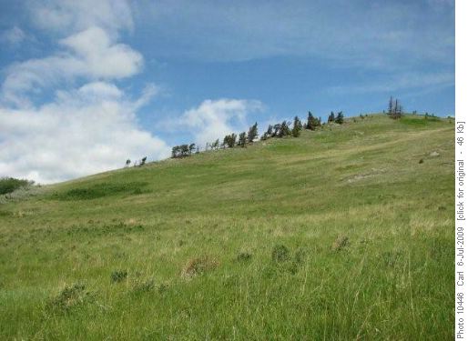
The Beaverdam Ridge line
From the trailhead turn right up the “no motorized vehicles” road, before the OHV road trailhead. Soon cross Bob Creek and turn right at the fist junction. You quickly reach the Bob Creek boundary, and immediately, the ridge line of Beaverdam Creek.
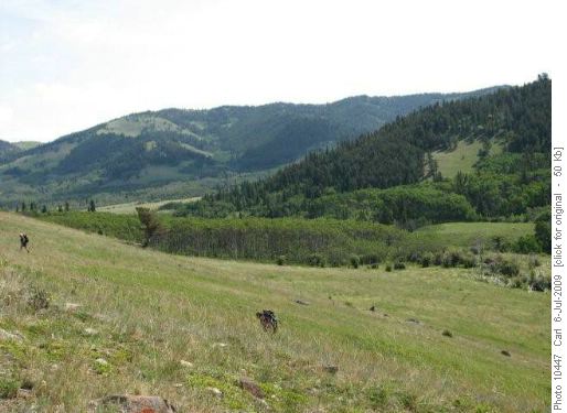
Beaverdam Creek valley
The Beaverdam Creek valley is usually swampy and not a good summer hike, according to Bob Blaxley, author of “The Whaleback: A Walking Guide.”
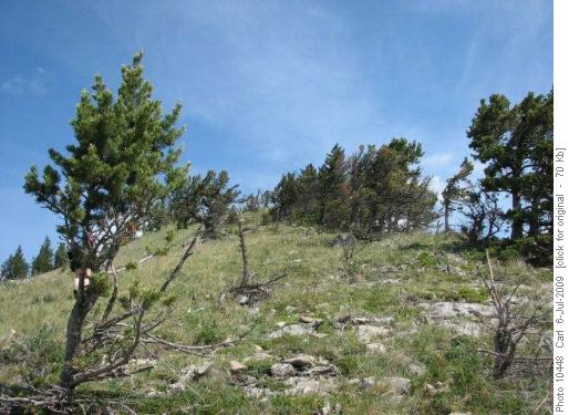
Following the ridge spine
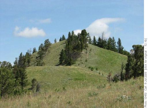
Typical upstep on Beaverdam Ridge
The ridge goes up in steps.
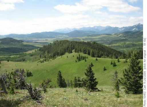
Ascent route up Beaverdam Ridge
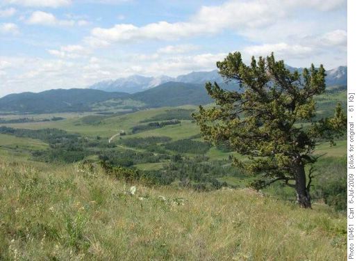
Looking back to trailhead
The trailhead can be seen to the south from the ridgetop.
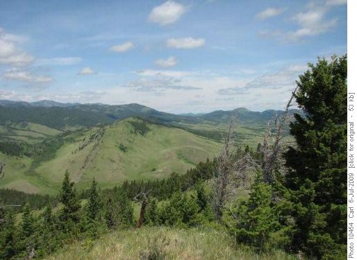
North descent of Beaverdam Ridge
This is the summit, with the descent spur to the northwest dropping to the left. When into a tributary valley, cross the creek and follow a track west, which turns to parallel Bob Creek on benchlands, finally joining the main Bob Creek trail at the park boundary.
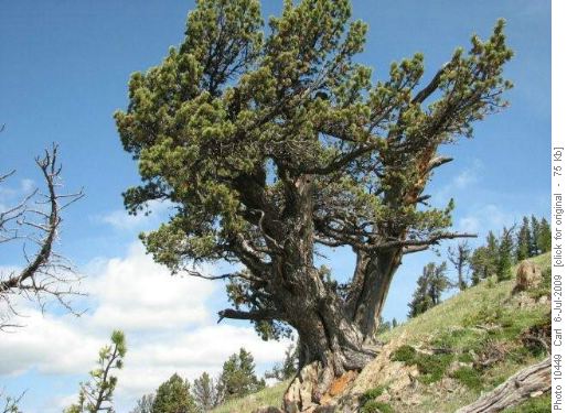
Ancient limber pine on Beaverdam Ridge
This ancient limber pine is one of the main reasons for the park.
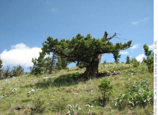
Bonzai Douglas Fir on Beaverdam Ridge
Likewise this ancient, wind blasted Douglas fir, with huge trunk and bonzai appearance of what's left of it.
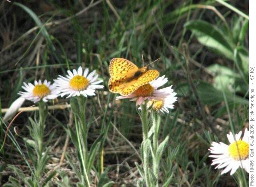
Butterfly on Beaverdam Ridge
Exquisite flowers and butterflies await the visitor. The hillsides are covered with arrow leaf balsam root, which would be a sea of yellow flowers in May-June.
Trip statistics: 8 km (our route), 420m elevation gain. Ramblers exploration party July 5, 2009: Sharon, Stephen and Carl, coordinator and scribe.