Healy Pass-Ramparts-Eohippus Lake-Simpson Pass Off-Trail Hike on 30-S
We started from the car at 9:10AM, and made a quick & easy ascent to Healy Pass at ~2330m (9.4km mark), arriving at 11:45AM. We climbed just above Healy Pass to 2,376m for lunch with a fantastic view of The Monarch Ramparts, leading up to Mt Monarch 2,904m to the South.
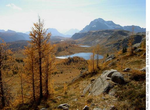
Ramparts and Monarch Mt (2,904m) seen from Healy Pass
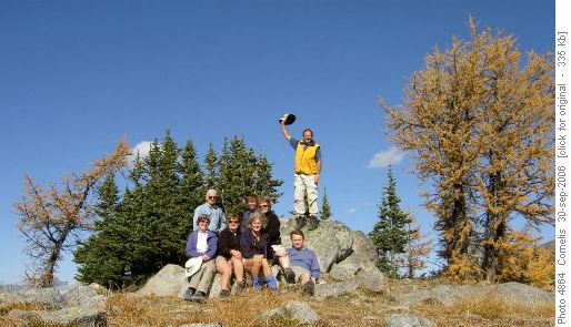
Lunch at Healy Pass. Cornelis (hat) John, Susan, Anita (middle), Joan, Alicja, Caroline, Jim (front)
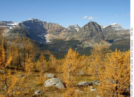
Egypt and Scarab Lakes seen from Healy Pass
Your coordinator was impressed by the intricate geology of this area. Under our feet we had finely laminated (Hornblende-rich) shale with a silky sheen and waxy feel to it. Obviously, the shale and surrounding dolomites had been subject to hydrothermal alteration / thermal metamorphism. In the lower autumnal sun, the whole Ramparts shimmered like a huge dark smoky-glass mirror. The silky / waxy mineral responsible for this effect is Talc Mg3Si4O10(OH)2, formed by hydrothermal alteration / thermal metamorphism of amphibole-type (Hornblende) minerals in the surrounding siliceous dolomites and shales. The Redearth Pass we had passed to our right showed signs of intensive hydrothermal alteration. What looked like collapsed karst systems had glacial moraines & talus piled on top. My eye spied equally interesting features to the West, South of Egypt Lake. Visible was Talc Lake, also called Natalco Lake, part of the Ball Range. Most interesting was a huge Rock Glacier just South of Talc Lake oozing down Ball Range like a huge wet mop, with compression ridges in the talus-sized (& larger) rock rubble. A little further South from the Rock Glacier, on the SE face of Ball Range an enormous active rock slide could be seen. It looked as if it had failed along a significant geological fault (strike NE-SW, dip 60 degrees approx.), sliding more than 200m down its plane. The fault looked active (moving due to sub-duction of the pacific plate). It is likely that the fault zone is weakened by the same insidious hydrothermal processes as described above. At home, I looked up the history of this interesting area: In 1917, park warden Bill Peyto filed a claim on the talc deposits at Talc Lake. A few years later, the National Talc Company (Natalko) took the claim and built a wagon road to haul the talc more than 20km down Pharaoh Creek to the CPR line.
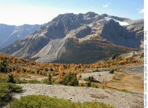
Ball Range Rock Glacier and Talc Lake as seen West of the Monarch Ramparts
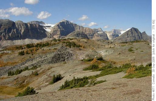
Redearth Pass Area as seen NW of the Monarch Ramparts. Haiduk & Pharaoh Peaks in background.
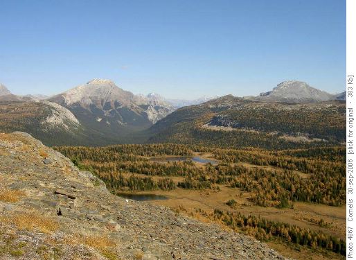
Mt Bourgeau (2,931m) and Healy Meadows as seen NE from the Monarch Ramparts
To continue our report: We made the easy descent down the Ramparts to Eohippus (that pre-historic horse with toes) Lake, enjoying the ancient golden & gnarled Larches. We enjoyed a spontaneous nap on a grassy spot NE of Eohippus lake from 2:45 to 3:15PM (at the 15.8km mark 2,130m altitude), enjoying the mild warmth of the sun, while watching the golden Larch needles float down against the deep-blue sky.
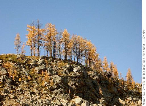
Larches on the Ramparts above Eohippus Lake
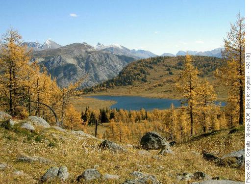
Descent from the Monarch Ramparts to Eohippus Lake (2,127m)
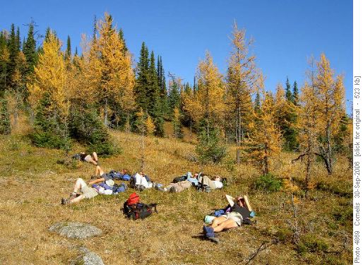
Ramblers reposing at Eohippus Lake
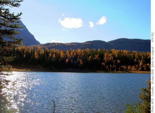
Healy Meadows No-Name Lake
Participants: John, Joan (guest hiker), Susan, Carolyn, Anita, Alicja, Jim, Cornelis as coordinator, navigator, scribe, trip geologist and photographer.
Trip Statistics: Distance 27km. Ascent to highest point on the Ramparts 760m at 2,430m altitude. Total ascent 910m.