Livingston Lookouts Off-Trail Hike on 3-Sep-2006
A great day for a fantastic ridge walk. And this was a first time hike for the Ramblers.
The hike starts from the Forestry trunk road just north of Livingstone gap. We parked the cars and donned fording footwear immediately in order to cross the Oldman river. The wading shoes were then left there, waiting until our return. The trail followed the east bank of the river northwards for several kilometers until we came to a well used service road taking us up the 800 meters to the "new" Livingstone Ridge fire lookout. Well used, unfortunately meant that we were subjected to the noise and smell of about a half-dozen ATVs climbing and descending the route.
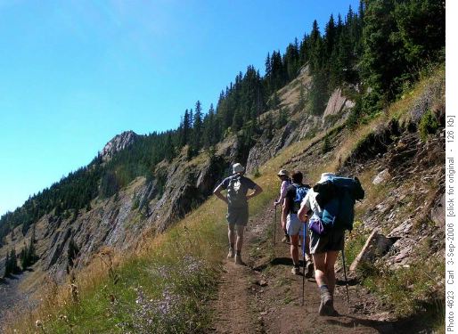
Approaching Livingstone LookoutIt took eleven of us about three hours from the cars to the summit. Ken climbed most of the way up, but then chose to forgo the ridge walk and returned down the service road.
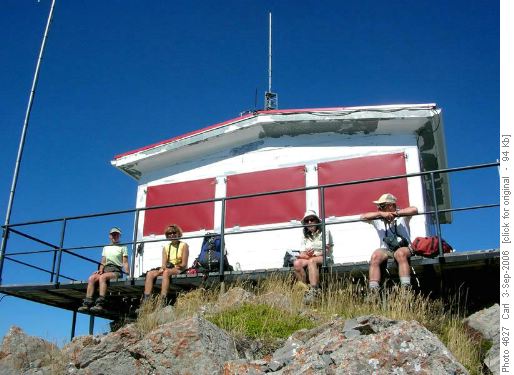
Livingstone Lookout
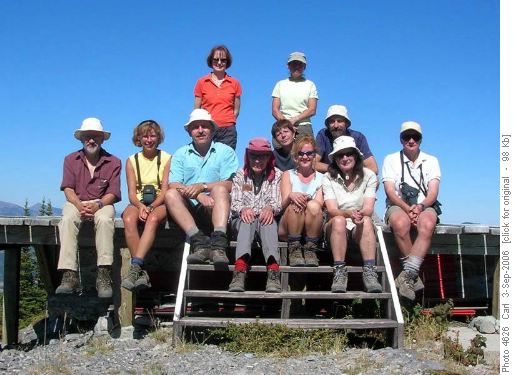
Livingstone Ridge Summiteers
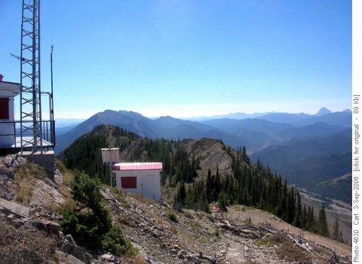
Livingstone Ridge facing south (Thunder Mtn left of centre, Crowsnest Mtn at right)After a first lunch at the new lookout we were off to traverse about 3 km of excellent ridge walking (sans ATVs). This occasionally required using hands (other than for the Spanish Mountain Goat in the group). The views were spectacular at the lookout and all the way along the ridge. The Whaleback and Porcupine Hills defined the eastern skyline. To the south we could see Big Chief Mtn as well as some of the higher peaks in Montana. To the west of south there was Crowsnest Mountain and to the west Tornado Mountain and Sugarloaf lookout. Much closer to the ridge are the Bob Creek Wildlands, Thunder Mountain, the Oldman River, and we were rarely out of sight of the cars far below. It took us most of two hours to traverse the ridge.
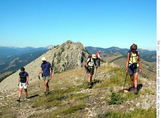
Livingstone Ridge facing north (
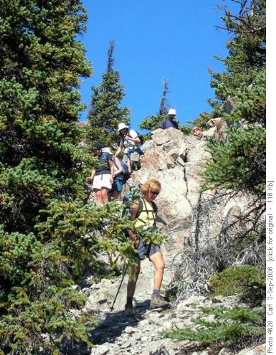
Some of the OT5 on Livingstone RidgeWe enjoyed a second lunch at the site of the original lookout. And then descended (about 1 1/2 hours) via a route on which we were intermittently on a trail and then followed the Oldman (River, not Wally) back to the fording point.
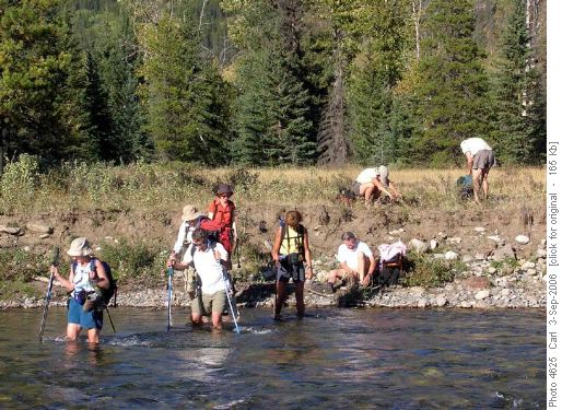
Crossing the Oldman RiverMany thanks to the indominable Wally (coordinator), participants Janet, Karen, Marietta, Susan, Valerie, guest Maria, Francisco, Bernard, Ken, Laszlo and Carl (scribe).
Distance: about 19 km, climb: about 900 m (including the ups and downs on the ridge), temperature: about 11 (air and water at the start), and low twenties most of the day.
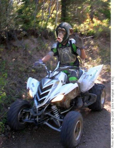
Apes on ATVs, the only wildlife we saw!


