Monument Mountain Off-Trail Hike on 7-Aug-2006
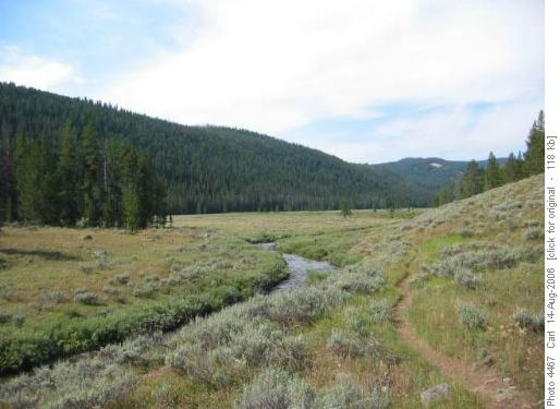
The best part of these trips abroad is that the scenery is entirely new—not only that everything you see from your high, panoramic summits is utterly different, but that the geology and ecology are also dramatically different from what we are used to. After making our Rocky Mountain rendezvous at the Red Cliff campground in the Gallatin National Forest, our journey began on Bacon Rind Creek in Yellowstone National Park. Here, at 7,100 feet elevation, we walked up an open valley with sagebrush. In the American Rockies aspen and sage make a very photogenic addition to the Douglas fir and white bark pine, in strong contrast to Alberta where these zones do not overlap or come even close to each other.
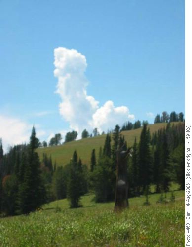
The Bacon Rind Trail rose steadily to 9,600 feet, as the views opened up to ever-wider vistas. It was a warm day in the sun and towering cumulous clouds threatened to blow up into thunderstorms as we pushed toward the high ridge.
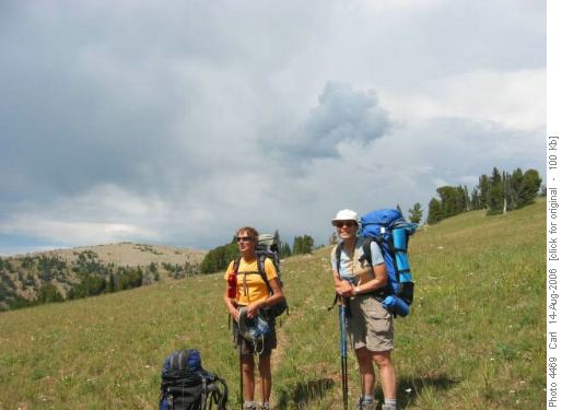
Margaret and Joyce stop on the trail while the sky looks ominously threatening. Luckily this day the clouds stopped just short of becoming storms.
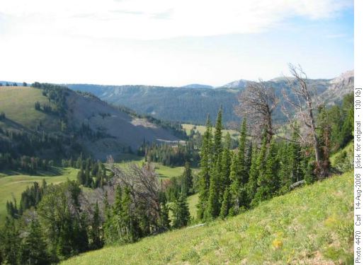
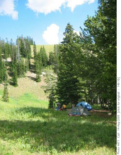
This is the valley of the Burnt Fork of Bacon Rind Creek, where we found a lovely spring and flat, grassy spots for our tents.
Our campsite was at 9,000 feet, putting us in good position to “bag” the 10,000-foot mountains around us. The second night a party of four men from Helena and Utah camped a few hundred yards below with their llamas.
Next morning we hiked up the Skyline Trail to the top of Snowslide Mountain.
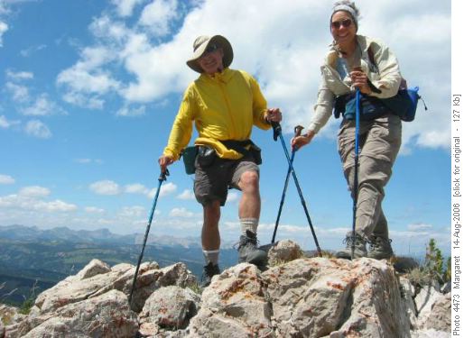
It was very windy on top. Here Carl and Joyce are blasted by the wind on the summit.
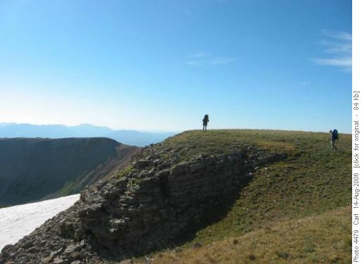
Luckily we found it warm and calm just on the lee side of Monument Mountain, where we had lunch.
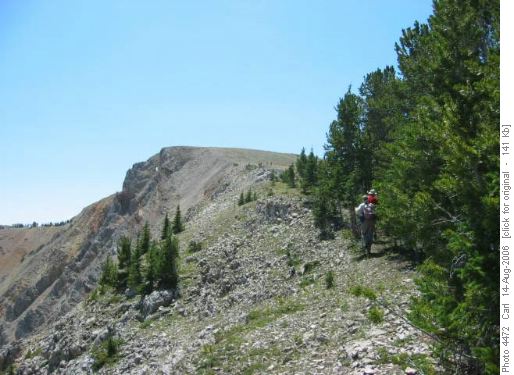
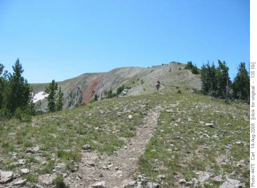
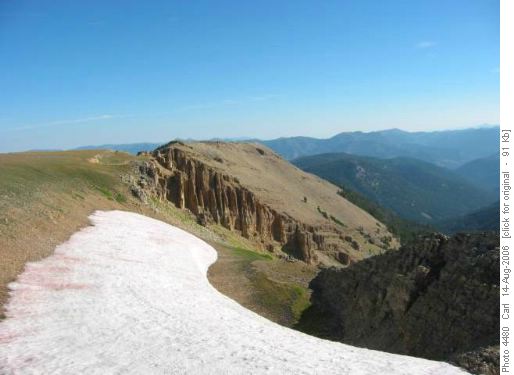
The Skyline Trail on the north side of Monument Mountain. This long-distance trail is worthy of its name, giving views from Gallatin Peak in the Spanish Peaks Unit, to Sphinx Mountain and the Taylor Hilgard Unit, to the entire Yellowstone Plateau and the Teton Range.
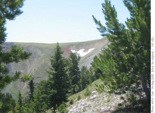
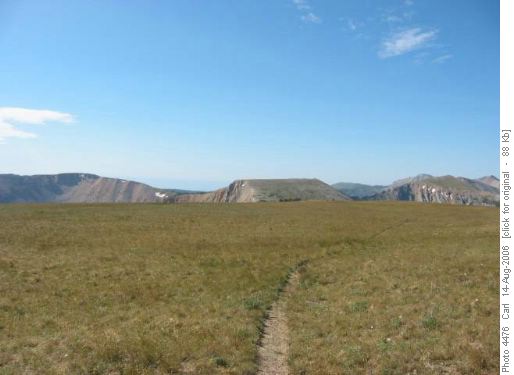
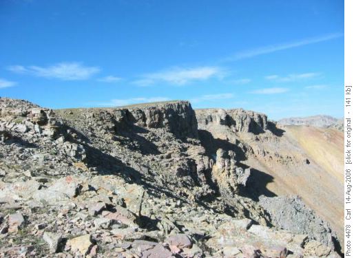
These mountains are high plateaus, like our own Plateau Mountain. Here from Monument Mountain (10,091 feet) we see from the left, Red Mountain (9,994 feet), Snowslide Mountain (10,037 feet) and an unnamed mountain, which was our third ascent of the day (10,150 feet).
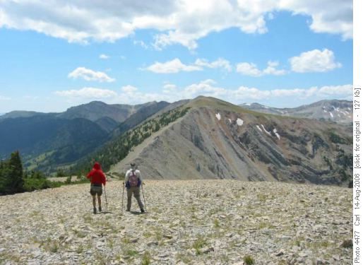
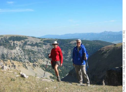
Margaret and Joyce contemplate our final ascent of the unnamed peak.
On our return on the third day we left the trail and climbed Red Mountain for our final summit, picking our way down through OT4 terrain back to the trail. On the return hike we saw a herd of about 10 elk crossing through the forest above us. We also saw a pica and a grouse on the trip. We saw no sign of bears. We could easily have added one or two days for some more easy scrambles around the Burnt Fork.
We had planned next to do the Hilgard Basin, one of the most celebrated backpacking destinations in the range, with a day trip to scramble Sphinx Mountain (10,876 feet), however a nasty cold virus which hit one of our trio precluded that. Next year I plan to return to do these two trips, as we now know from first-hand experience that this is a fabulous hiking area not to be missed. Carl, coordinator and scribe.
