Mount Chester Scramble on 23-Jul-2006
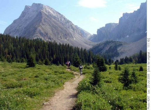
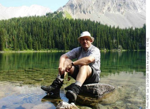
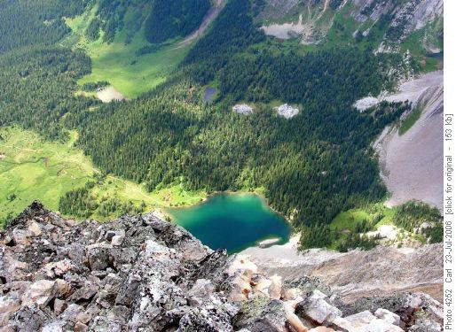
This scramble breaks up logically into three parts, each taking about an hour travelling time. First comes the trail hike to Chester Lake.
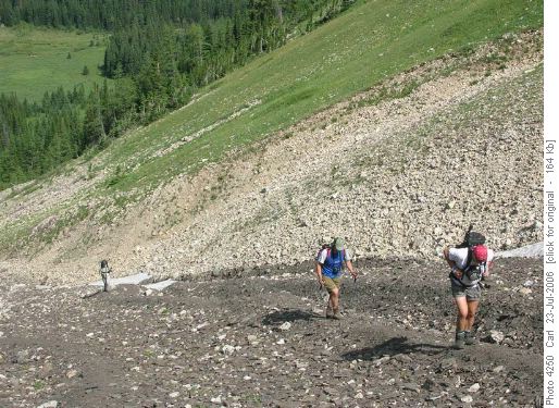
The second part of the trip is the ascent to the col to the west of Mt Chester.
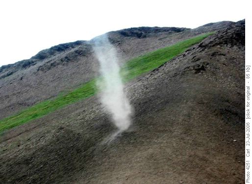
At the col we observed several dust devils. We postulated that we were observing the birthplace of tropical hurricanes. Two of us (not Rita) independantly mused that these were themselves started by ram farts.
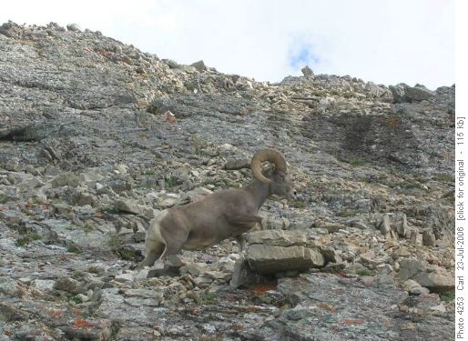
Also at the col we were entertained by a large group of male big horn sheep. Most were off to the west in the meadows, but the biggest seemed to be guarding the ridge up to the peak. They didn’t move until we were within about 15-20 meters!
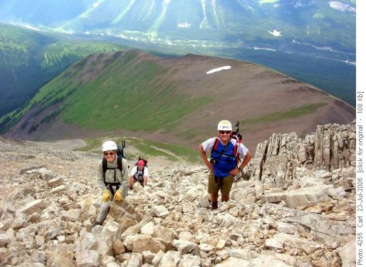
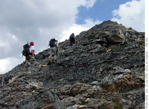
The third act of the ascent is a scramble. It is a mix of good hard rock and scree all in many bands allowing for a myriad of ascent and descent routes.
We were on the top about 4 hours after leaving the cars.
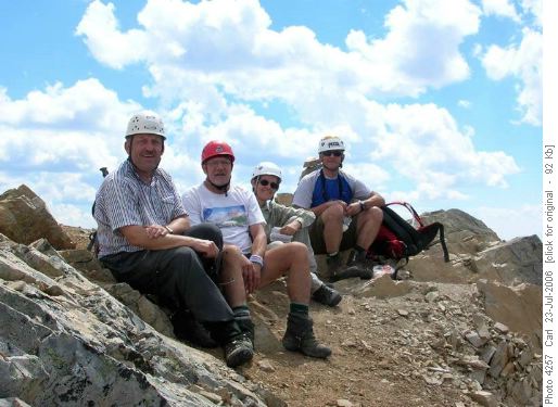
The views in all directions are spectacular from this significant peak (3054 m). However those views included rain clouds in several directions and we soon heard thunder. So we took the summit photo, signed the register, had a quick snack and retreated back down to the col.
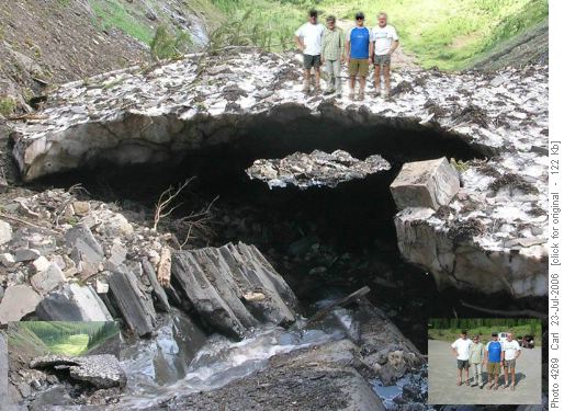
From the col we elected to explore Alan Kane’s alternate descent route to the south via Headwall creek. This route is a few kilometers longer but it is an interesting descent with only minor challenges. It allowed us to continue to observe the flock of big horn rams and to travel on the remnants of the huge avalanches that must fill this gully in winter. There is still snow here in late July after a very warm spring. From Headwall creek the return is via the yellow and blue Sawmill/Chester ski trails.
Distance: about 16 km, Climb: 1200 m, Time: about 7 ½ hours, Weather: mostly sunny, low 20s.
Many thanks to Rita for mentoring me (in spite of having climbed Big Sister the day before). Also participating: Les, Ivan and Carl (coordinator and scribe)
