Mt Girouard Scramble on 2-Aug-2011
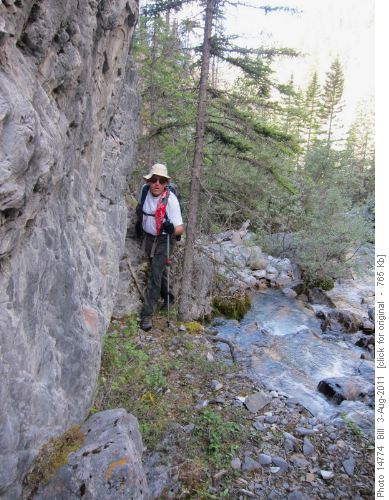
We left from the east end of Johnson Lake and travelled through fairly open bush to the stream draining the cirque east of Mt. Girouard. Ascending the stream was intially easy but became more difficult as the stream narrowed. The stream travels through a canyon, and numerous stream crossings over quite slippery rocks are required. Our average speed up the creek was 2 km/hr - slow work, but not really terrible bushwacking.
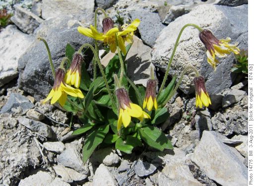
Once we got onto the open slopes, we found a large number of Lake Louise Arnicas growing in the scree.
These infrequently seen flowers prompted a photography session. After some hints from Carl, we moved on. To the southeast is the huge cirque between Girouard and Peechee, that can be seen from the highway when travelling east.
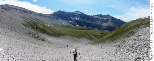
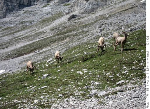
The upper slopes are mostly large scree, although we did find some remaining snow which made for pleasant step-kicking. We came across a nice group of rams which made their way down the slope and past us, showing little concern with our presence.
We continued our ascent along rock ridges and scree to the summit. The views were great, as expected, especially into the lesser seen areas to the north and east. Here is the panorama.
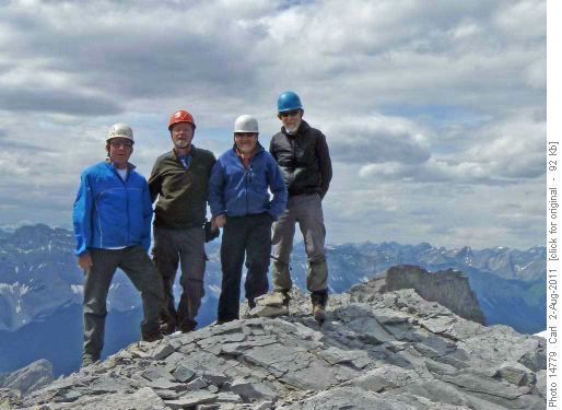
We found no cairn or register but of course we took a summit shot.
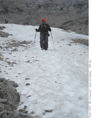
After a bit to eat and a great deal of photography, we headed down. The snow patches provided a pleasant break from the scree.
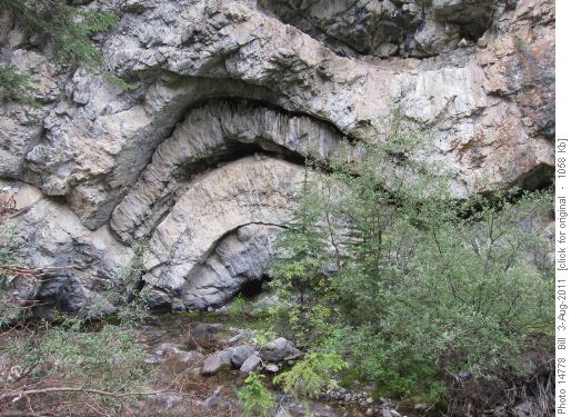
On the way out, we stayed higher on the slopes and seemed to avoid some of the thrashing in the stream for a while. Eventually we were forced down by the cliffs and the going got heavier. The work was broken only by interesting formations along the creek.
Overall, Mt Girouard is an easy peak (SC5) with a terrific view, but a long access (BW6 - BW7). Trip stats are 24 km, 1600 m elevation gain, 6.5 hr to the summit and 12 hr total. Thanks to Arnold, Carl and Kevin for joining me - Bill - C/S.
