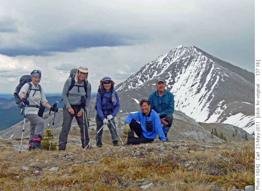
Exploratory Ya Ha Tinda ridge / Maze(James?) peak Scramble on 21-May-
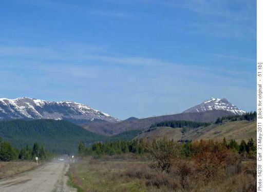
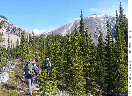
After a 2 hour drive from Calgary we left the Ya Ha Tinda road and headed up a drainage just after 9:00 am. We thought to gain the western spur of a ridge of our objective .... but .. well we kind of went with the "bush whacking" flow and ended up on the eastern spur ....It all worked out well though and we wandered along a nice ridge looking at my "obvious ascent line" across another drainage.
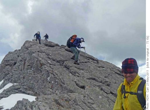
After a short steep descent into this drainage it cliffed out to get to "my obvious line" - the fun of exploratory trips! A slightly longer line to climbers left got us up the mountain though. The summit ridge had some scrambly bits that, especially on the down climb, maybe, pushed the trip's advertised SC5 rating estimate a bit. The scrambling was all avoidable climber's right of the ridge. Not much snow and we got to the summit just around noon I think. This coordinator was disturbed to read in the water bottle register that we had ascended "James peak" not "Maze peak" - Lost again! Actually James peak is another appropriate name which can be derived from James pass between the peak we were on and Evangeline mountain to the north. Who to believe Google or a water bottle register?
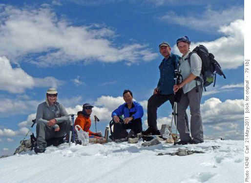
After an hour or so lunch on the pleasant summit trying to figure out these unfamiliar snow covered peaks to the west (Assiniboine was so much easier to pick out last week from the more familiar environs of the Bow valley and Grotto!). With the help of Carl's 1:250,000 we nailed Dormer, Barrier, Evangeline and Warden Rock but were less certain if the big mountain was Bonnet or Panther mountain. Sim had her peakbagger eye on an outlier on the north west ridge of Maze (a.k.a James) peak towards Ya Ha Tinda she nicknamed Ya Ha Tinda peak which we headed for after lunch to make it a two peak day.
We descended by the western spur originally thought of for the ascent. There was a bit of bushwhacking at the end as there is quite a lot of blow down in the area. Back at the car around 4:00 pm we headed back to Calgary. We had come out via the Forestry trunk but we went back by Sundre. We stopped briefly in Sundre for refreshments but were back in Calgary around 6:15 pm. The Forestry Trunk is shorter in distance but, I think, maybe, Sundre is 5-10 minutes shorter but not much to choose. Going via Sundre you are less time on gravel.Exploratory trips are tricky things but I was fortunate Ramblers: Sim, Janice, Chau and Carl decided to join me, John, trying something a little bit different which could have been a total bust but worked out.If you do n't mind the 2 hour drive, some on gravel, the group felt it was a worthwhile trip so I will add to the trip database as an option for an early season front range easy scramble. As to the name .... if the Ramblers have a vote I think we vote for Maze peak because we had an aMAZEing day (well I did!).P.S. Thanks Carl for the photos ... sorry some glitch on my upload from my camera I lost all my photos from the trip which maybe had a nice couple of you and Chau on the "scrambly bit" and maybe a nice one of Janice reaching the summit with a snowy front range backdrop .... too bad.
