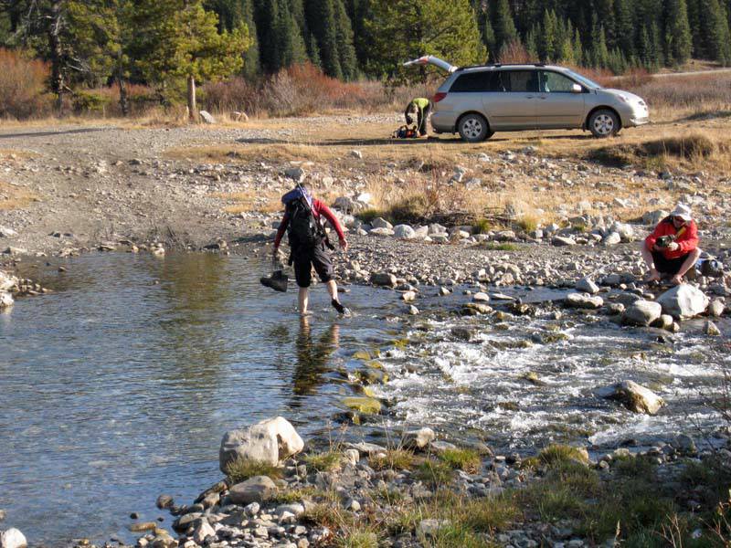
We had a successful trip, unfortunately it was so windy up top that we spent only about a minute appreciating the fabulous views. We easily found the spot where the Isolation Creek logging/exploration road crosses the Livingstone River (about 7 km south of the Forestry Trunk Road/Johnson Creek Trail junction). The ford was about 8 inches deep, it is clear that many drive across and at least 2 km up the road. We chose to park at the ford and walk across.
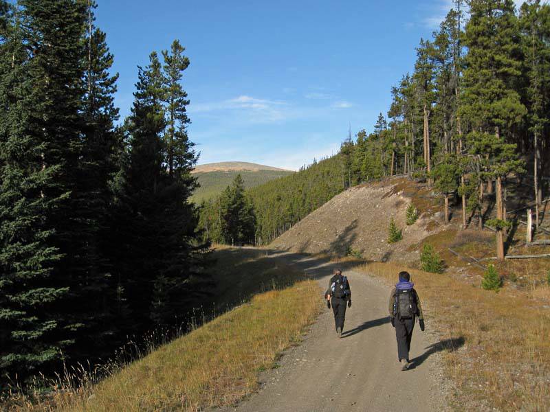
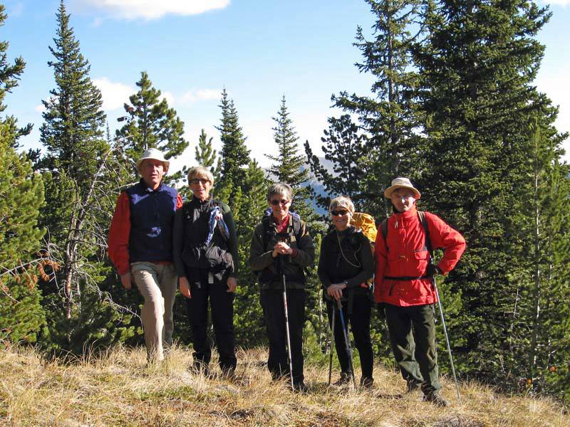
Heading up the Isolation Creek road to Isola Peak
We followed the Isolation Creek road all the way to a high point immediately south of Isola Peak. By doing this we avoided any bushwhacking on the ascent. The climb up the south ridge can be done at an OT4 level, some elected to do some scrambling.
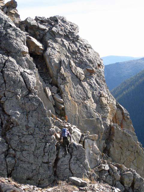
Peter doing some scrambling (optional)
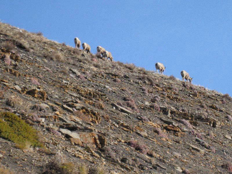
As we climbed the ridge, we drove a small herd of sheep up ahead of us.
Big horn sheep on south ridge of Isola Peak
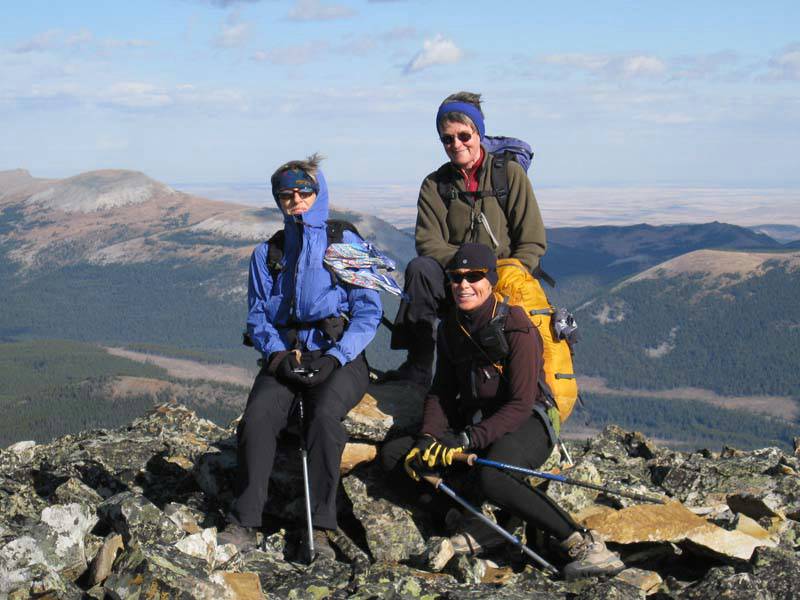
The wind from the west was absolutely fierce all the way up. It blew my toque off! We were at the top a little less than three hours after starting.
Atop a very windy Isola Peak (Hailstone at left, Windy Peak at right)
The views were great but it was so windy and cold that we quickly took one picture and headed down to some shelter for lunch. To the west are the big mountains of the High Rock Range with Pasque Mtn a little closer, to the north are Plateau Mtn, Sentinel Peak and Hailstone Butte, and to the east are Windy Peak Hills, Mount Hornbecker, Mount Livingstone and Coffin Mtn. After a fairly brief lunch we headed off down the south east ridge. This involved some bushwhacking, but it was all actually pretty easy. At various places we saw signs of recent chainsaw activity. But there would just be a few hundred meters of a cut line that seemed to go nowhere and end abruptly. In another spot on a fairly steep slope, an area the size of a city lot had been cleared.
Group, finally out of the wind
We found ourselves back on the Isolation Creek road about 1/2 way back to the car. While one could certainly ascend via our descent route, we all agreed that what we had done (up the south ridge, down the SE) made the most sense.
Splish Splash'n across the Livingstone River
We were back at the car in well under 6 hours, but would have been a little longer if the wind had been lighter.
Thanks to Alda for suggesting this trip and for driving, and to Jeannine, Rita, and Peter for joining me, Carl (C/S).
PS there is virtually no snow south of Highwood Junction (and not much north of it either). CVM