Waputik Peak Scramble on 7-Aug-2008
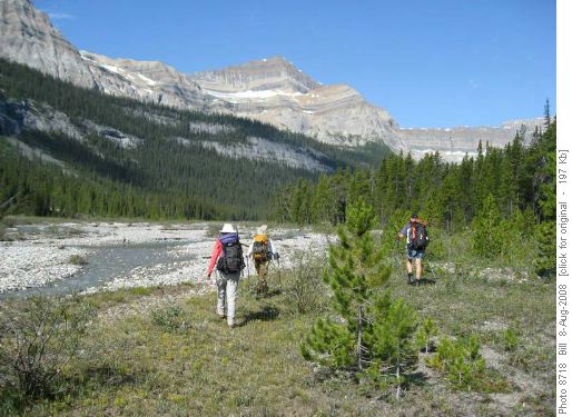
We parked at the Lost Lake trailhead, crossed the railway trails and headed into the bush. After following the Lost Lake trail for some distance, we turned left and picked up an old road close to Bath Creek. We lost the road when it headed down to the creek, taking an route through an open looking clearing. However, in a few minutes we were in thick brush and not finding a relatively easy path we descended to Bath Creek. A couple of kilometres of reasonably easy bushwhacking along the edge of the creek lead to a minor creek crossing of one of the tributaries and open gravel flats.
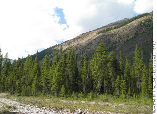
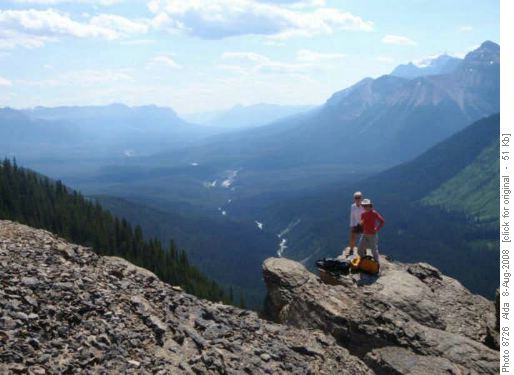
These offered good travel for another kilometre at which point we could see an avalanche slope that promised access to the peak. It can be seen just before the ridge in this photo.
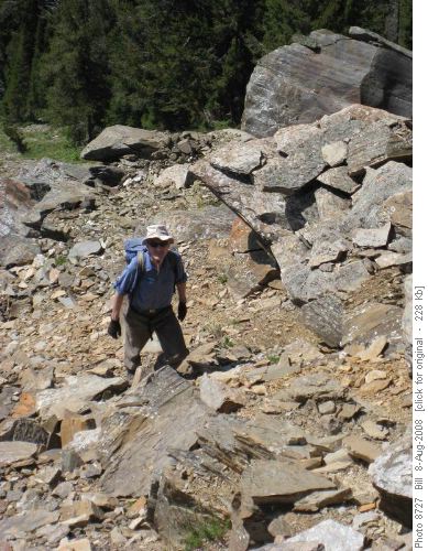
The ascent was over easy ground although the footing was poor due to many loose rocks. Some went further right and enjoyed some pleasant scrambling.
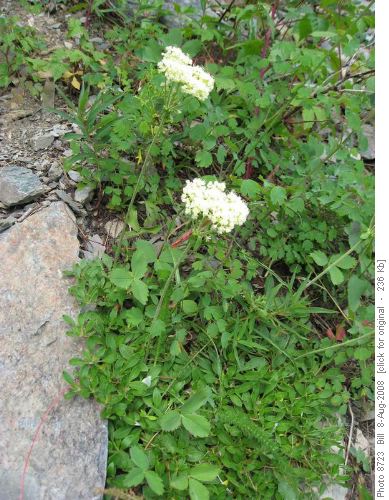
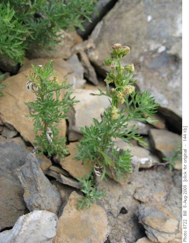
The flowers were terrific on this slope. Unfortunately, we ran into some fruiting stickseed whose burrs stuck to our pants and socks. Two interesting plants were the sub-alpine umbrella plant and wormword or pasture sage, which emits a strong sage smell.
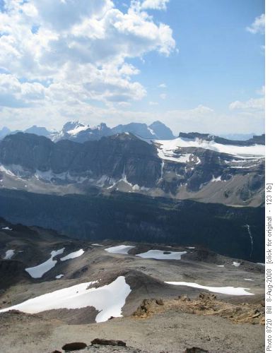
Above the avalanche slope, the ridge was rather like a large plateau with numerous high points, many valleys and assorted meadows. The true summit sat somewhat back and did not become apparent until we had crossed the lower parts of this plateau. The plateau can be seen here with Stephen and Cathedral in the background.
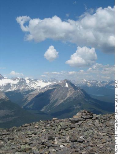
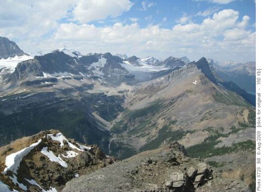
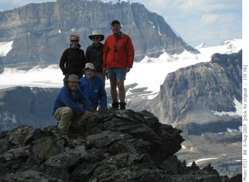
We enjoyed the summit for an hour, with good view in many directions. Particularly interesting was the upper Bath drainage which can be used as a ski exit from the Balfour col.
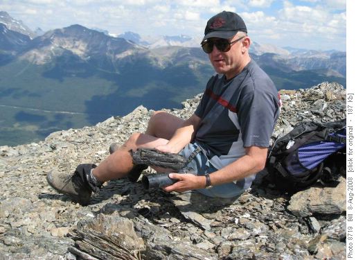
Carl found the register. It had evidently been struck by lightning which had carbonized the plastic bag but left the books unscathed. The last recorded party to visit the peak was in 2002, with Ramblers Bob West and James Haston having been there in 1992.
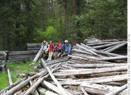
Eventually, we headed out following our inbound route. Toward the end we continued along the creek where we had done our first bushwhacking on the way in. The creek route lead us the a pair of abandoned cabins.
Thanks to Alda, Rita, Carl, Peter - C/S Bill.
