Mount Brewster Scramble on 1-Aug-2016
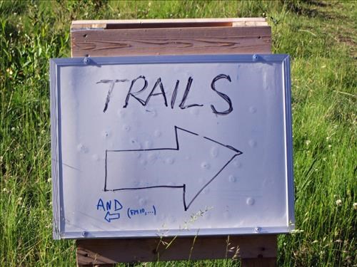
Always read the small print .... and Alan Kane's description ....
If, also, I had paid closer attention to Alan Kane's route description I might have caught the left fork we should have taken as he mentions this near the "last lift" (actually I think you go under the cables of another lift with the bottom of the lift below you). When we got down to Forty Mile creek there was no sign of the good horse trail I was anticipating heading up the south bank. Damian had a GPS track that suggested the trail was 200m above us. We found some game (?) trails ... and deadfall .... to ascend and did join up to the broad horse trail. Travel was faster on the trail despite some muddy sections caused by extensive horse travel and a wet July. We got to the FM10 campground, I think, around 10:00 am and headed up the gully to the big rock as described by Alan Kane. Above the big rock was my strike 2 as, trying to avoid bushwhacking, we trended too far climber's left on more open slopes. Fortunately at tree line this became more obvious but we now had a cliff band between us and the ascent gully. Kevin did a great job of finding us a route through the cliff bands without us losing too much elevation. We climbed for a bit up the gully before pausing for lunch around 12:30 pm.
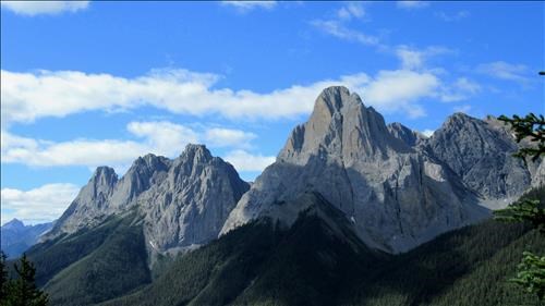
The three peaks of Edith and Mount Louie from the gully
After lunch Gerald headed left of the gully which turned out to be the easiest route. Kevin and Damian trended more climber's right and intersected near the summit with the ridge route Kane also describes. Kevin found some moderate (SC6) scrambling on this route. I think Gerald's route could be rated SC5 - little use of hands but I would say still a scramble having to manage loose rock etc. At the summit around 2:00 pm it was interesting to read the register. An ascent in 2014 was recorded in the register, no ascents in 2015 and, now it is in the scrambles book, we were the fourth ascent in 2016! Ascents in 2016 included a repeat ascent by Alan Kane and Sim a week before us. The register also recorded an ascent 15 years ago by Arnold and Bill.
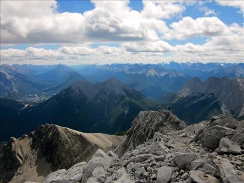
From summit Mount Brewster looking roughly SE Banff townsite on left of photo.
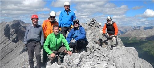
Mt Brewster - Summit Party
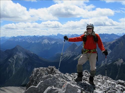
Arnold on the summit of Brewster
We took Gerald's line on descent and used the correct trail back to Mount Norquay getting back to the cars around 7:00 pm.
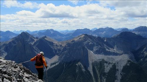
Leaving the summit cairn
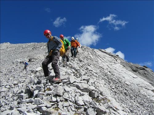
Coming down the summit ridge
I think the couple of route issues probably cost the group an hour so I suspect using Alan Kane's easier route, which we tried to use(!), will be at the lower end of his time estimate especially if the route sees more travel through the rubble pounding out a trail. We enjoyed the good weather during the day and extensive views from the summit of this one. Kevin snapped this nice view of Mount Ball and Stanley:
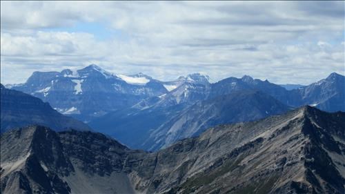
Mount Ball and Stanley Peak from the summit of Brewster
Damian's GPS stats were 22.5km, 1375m total gain (Kane route), 1150m net gain (Kane route) in 11.5 hours. There was a little more elevation on our actual route.
I have seen this one driving the #1 highway for many years - thanks everyone for your various contributions to the success of this trip.