Emma's Peak (GR133558) Off-Trail hike on 1-Sep-2015
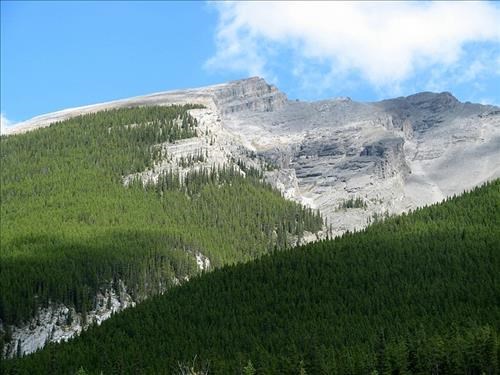
Emma's Peak from the canal
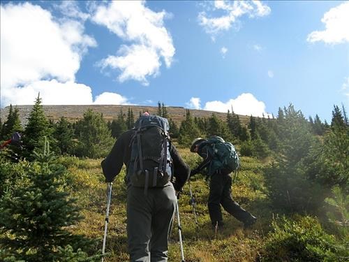
A bushwacker's friendly forest made an easy task of the first part. Once out of the trees a grassy slope takes you all the way to the top with no difficulties.
The steep grassy slope. Emma's Peak summit in top right
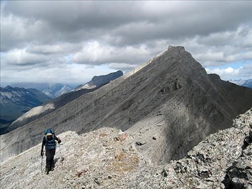
Jeannette approaching the summit of Emma's Peak. Mt. Lawrence Grassi in background
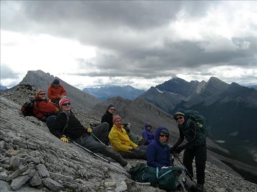
cold on top with a brisk wind
A chilly lunch on Emma's summit
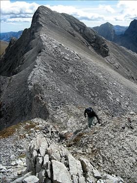
As we had lots of time some in the group decided to explore the route to the col between Emma's and Ships prow. This probably would merit a Sc 6 rating:
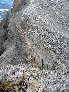
Scrambling down to the col between Emma's and Ship's Prow
Bill and Terry at the col
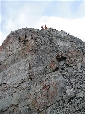
Half way down to the col. Looking back to Emma's summit
We retraced our route back to the cars where we arrived just before 3, for a 5:30 hrs trip,including breaks. Thanks to all for coming : Nardi, Jeannette, Laszlo, Peter, David, Terry, Bill and Aldis from Francisco C/S. Trip data from Bill's GPS : distance 8.5 km/ Elevation gain 934m. Trip rating: revised to OT4
