Orient Point via South Ghost Scramble on 26-Jul-2014
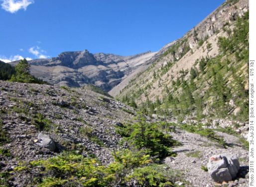
After finding the drainage mentioned in the trip descriptions we bushwhacked up it's eastern side - a mistake we corrected on descent!
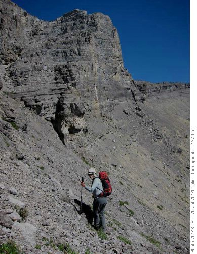
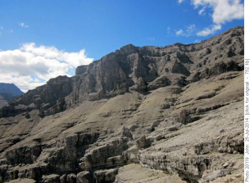
When the drainage split we took the climber's left drainage and gained the ridge. Higher up we got to the cliff bands.
Jeannine and I went about 60 m up a chimney to see what was above ... and obviously it "goes" as this is the route Sonny describes but the terrain looked, to me, a bit intimidating and I could n't be sure how long it would be before we could get on easier stuff. We decided to descend to traverse and try the right hand ridge which looked milder terrain (this was also implied by Kerry's report).
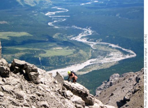
A bit of somewhat tedious side hilling for a while but then we got on the SE ridge and the last section was quite fun easy / moderate scrambling along the ridge with nice views and an airy drop on the east side.
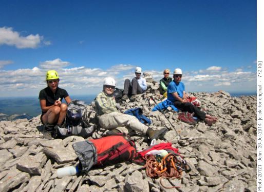
We got to the summit around 2:00 pm and had a pleasant 45 minutes picking out mountains quite a distance away - we think we could see King George way to the south.
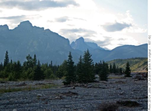
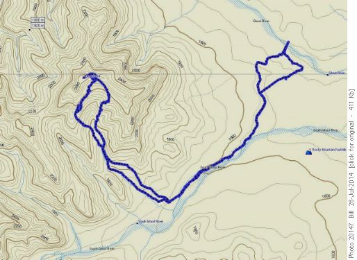
On descent we stuck more in the drainage which was better travel than we had on our bushwhacking ascent. Using Bill's GPS we followed the South Ghost road further than where we had picked it up in the morning but cut off a dog leg it takes with a bit of bushwhacking. We ended up, after joining back with a very washed out South Ghost road, with the cars across from us when we emerged on to the river bed around 7:00 pm.
I almost got stuck driving back up the river bed as we took a different route through the gravel of the river bed to get back to the "big hill" - I should maybe have GPS'ed our route through the gravel also!
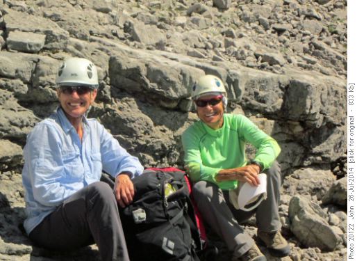
An excellent day for me with a new peak for all of us. Thanks to the group of Alda, Bill, Susan, Jeannine and Carl for patience and tolerance with the route finding. Thanks also for the smiles and good company!John.
Trip stats (thanks Bill):23.4 Km 1310 m elevation.
