Our hope was that we would get one more scramble in before winter conditions arrived, but unfortunately that was not to be the case on this day. We had more snow than we would have liked, and very strong winds that blew hard the whole time we were above treeline. Eight of us met at the Lantern Creek parking lot where the temperature was just below freezing, with just a skiff of snow on the ground. We were on our way at 9:00 am up the well travelled trail to Picklejar Lakes. There was just enough snow on the ground to make it slippery underfoot, enough so that some of us decided to use traction devices. We arrived at about 11:00 am at the bottom of the scree gulley, which is the crux of the scramble up unnamed Peak 571003 (which for the purposes of this trip report I will call "Picklejar Peak"). After some some discussion about which was the best route up this gulley, the group split up and tried a variety of routes. Although none of the routes up the half-frozen scree were great, the consensus was that staying in the gulley on the climber's left was better than the gulley on climber's far right, if for no other reason than the col at the top of the far right hand gulley was higher than the col on the left. From the col at the top of the gulley we finally got our first view of Picklejar Peak. From this col it is normally a straight-forward walk up the slopes to the summit of Picklejar Peak. However the combination of the snow and the wind made it feel much more challenging than it would otherwise have been. We arrived at the summit at about 12:30 pm, and almost immediately turned around and headed back down again because the wind was blowing so hard. Arriving back at the col, we all chose to descend the gulley on skier's right (climber's left), and in order to make the descent as safe as possible, we spread out both in terms of time and space. We arrived back at the bottom of the gulley at about 2:00 pm, where we were able to find a place with less wind, and to finally sit down and have lunch. It warmed up considerably as we descended from Picklejar Lakes, and once below treeline, the wind abated, the snow had all melted, and it felt like we had just walked from winter into autumn. We arrrived back at the parking lot at about 3:30 pm.
Thanks very much to Sim,Gary,Alda,Susan,Damian,Gary,Simon, for joining me Jack on this trip, and for being such good sports under what proved to be rather arduous conditions. And special thanks to Simon for many of the photos.
Total time: 6.5 hours
Total distance: 15.3 km
Total elevation gain: 1267 m
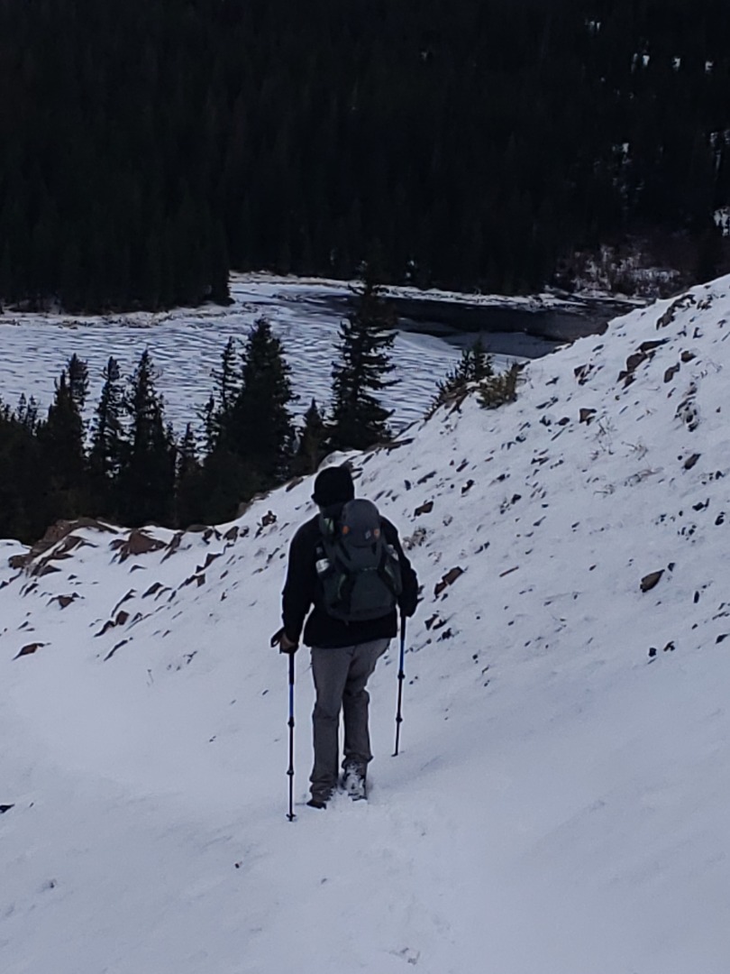
Our first view of Picklejar Lakes
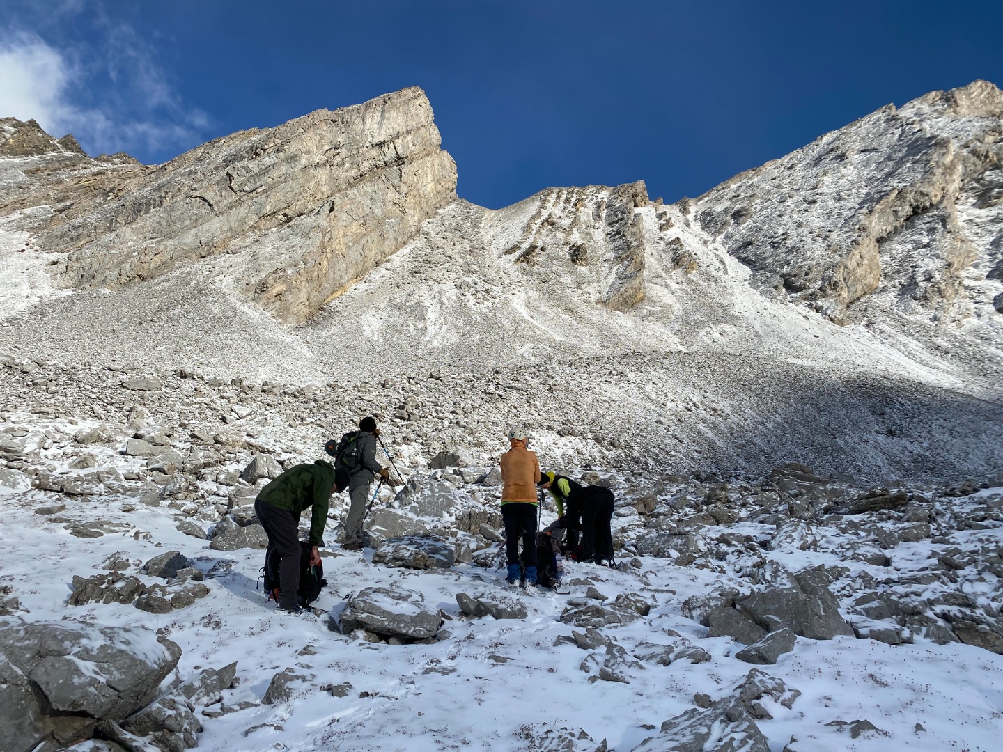
Looking up at the scree gulley leading to the col
At the col at the top of the scree gulley
At the col, we finally get our first view of "Picklejar Peak"
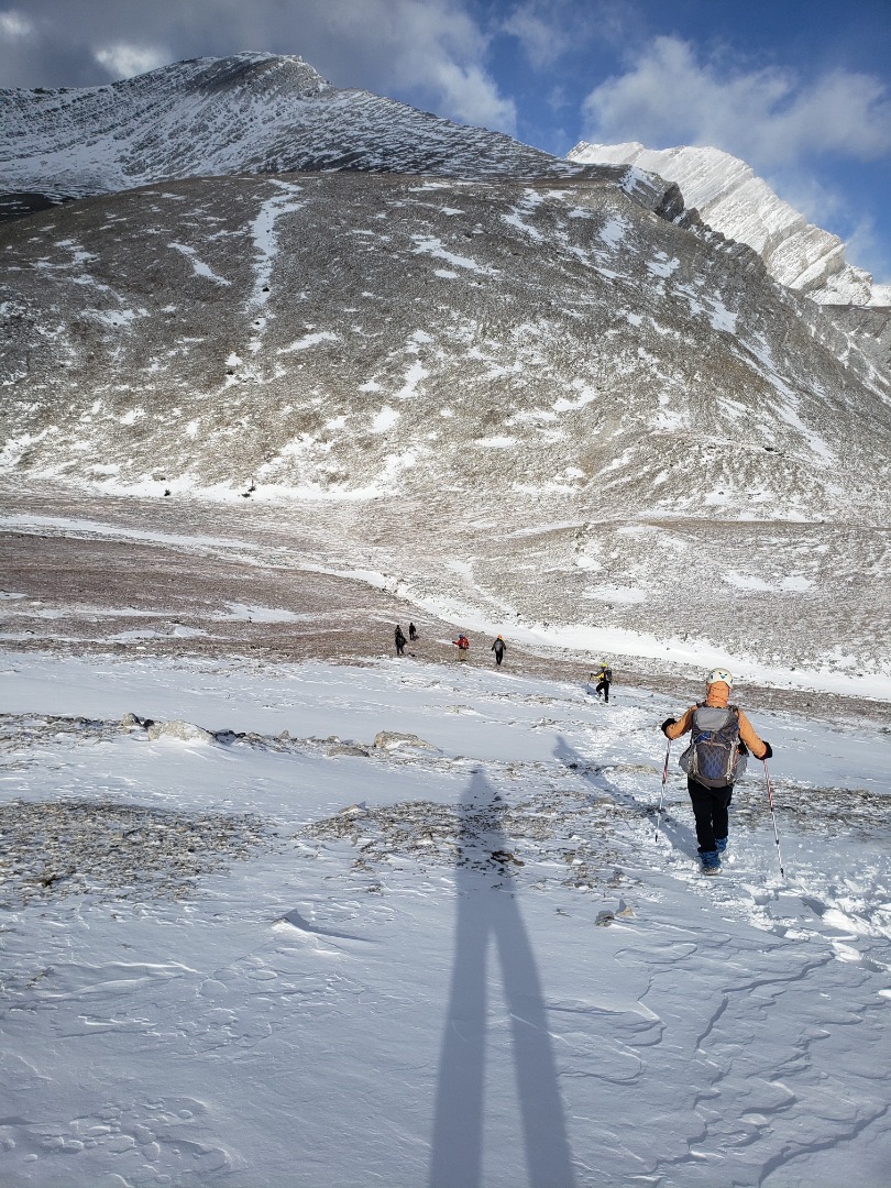
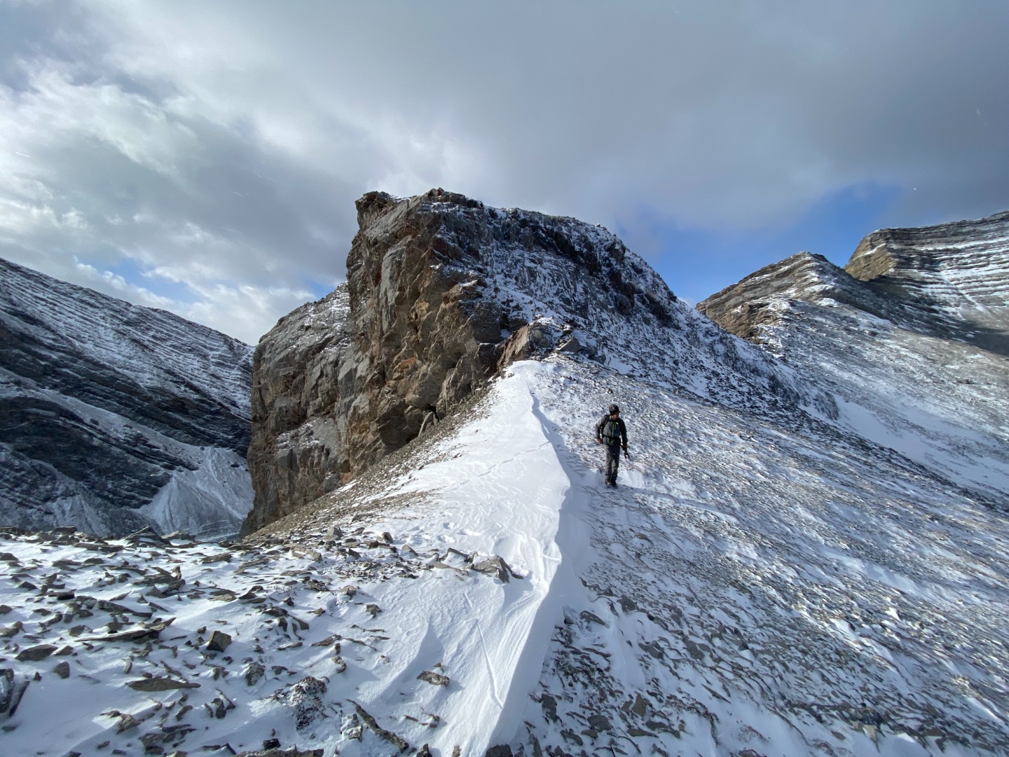
Heading towards "Picklejar Peak" from the col
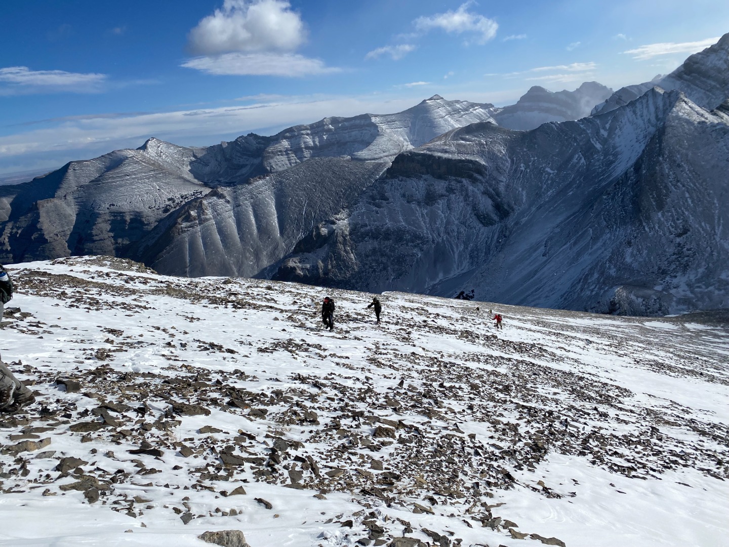
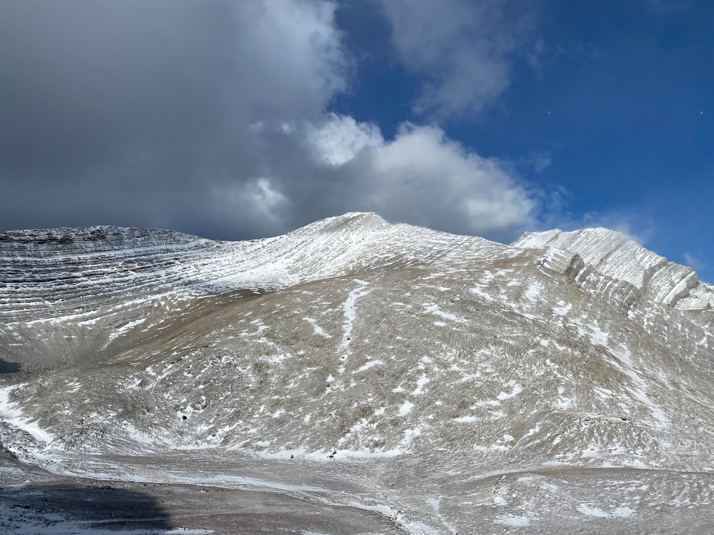
Ascending the slopes of "Picklejar Peak", with Pyriform and Junction Mountains in the background
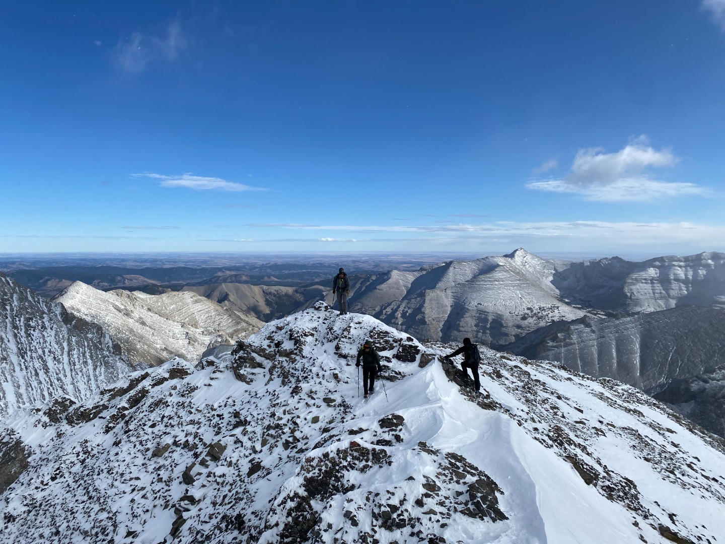
Approaching the summit
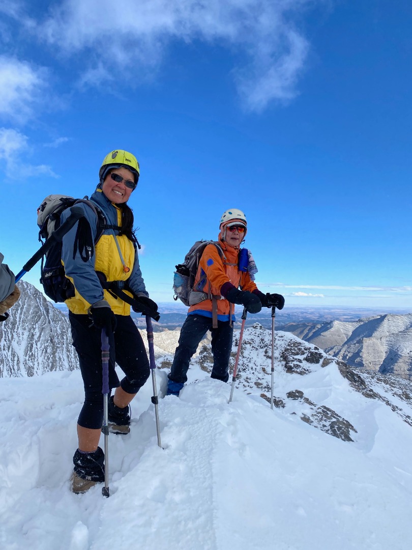
On the summit of "Picklejar Peak"
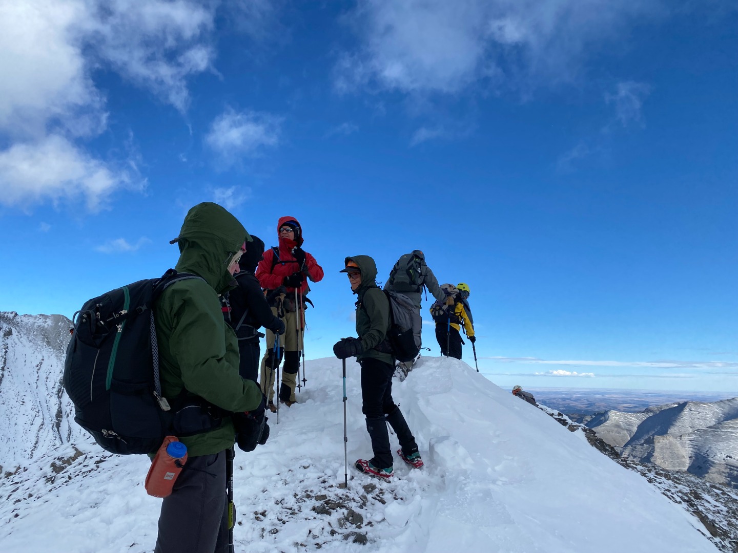
On the summit of "Picklejar Peak"

On the summit of "Picklejar Peak"
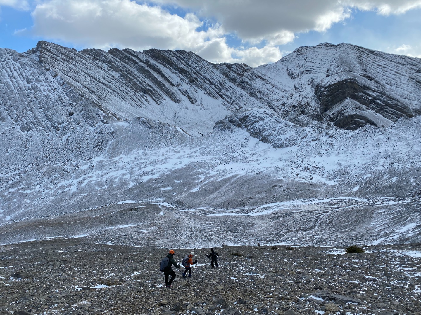
Descending "Picklejar Peak". The col we are headed for is in the middle ground, directly above the lowest hiker
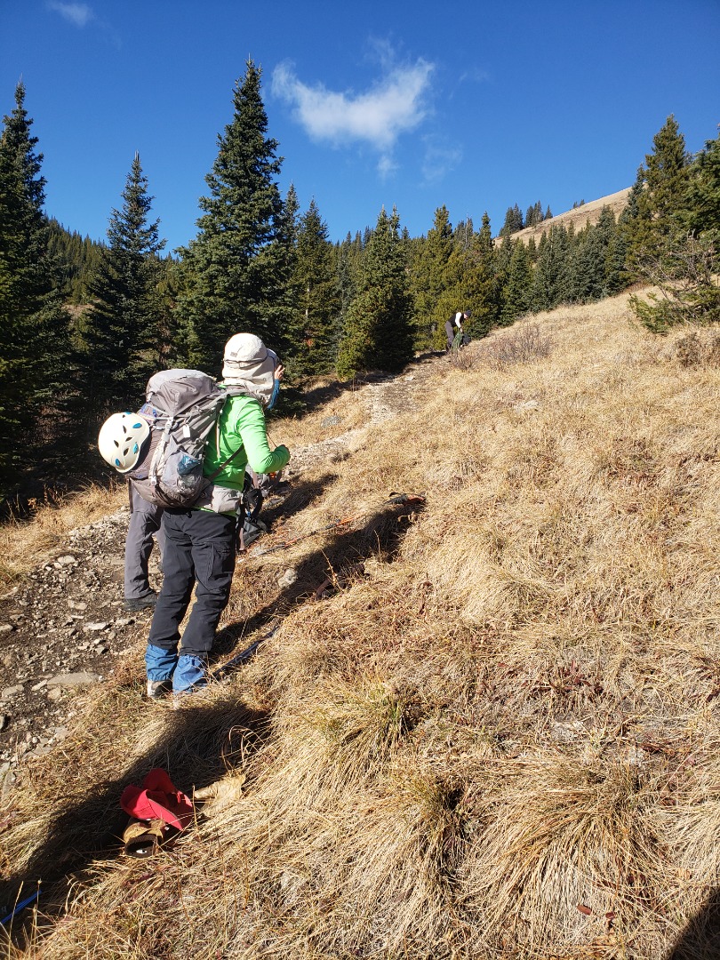
On our way out, we leave winter behind us and return to autumn