We had a good trip in warm but rather windy conditions. After a break by the south shore of Rawson lake we climbed the steep trail to the low point of the ridge continuing in a northerly direction towards the high point , a rockband precludes a direct approach but by dropping down along the cliff we found a nice break where it was feasible to scramble up. Another steep grunt and we reached the summit for lunch and relaxation. Rather than retrace our steps we opted to descend straight down to eventually pick up the trail a short distance before the lake.
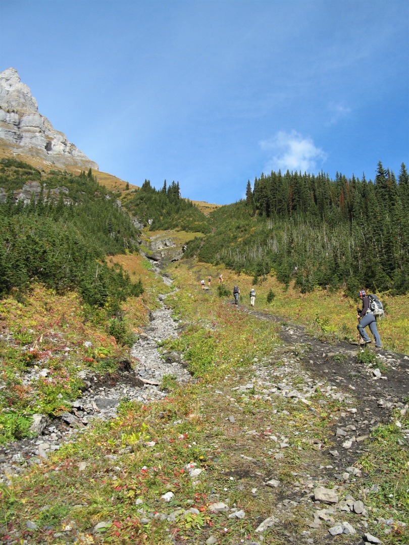
The steep trail to the col

A lonely larch tree
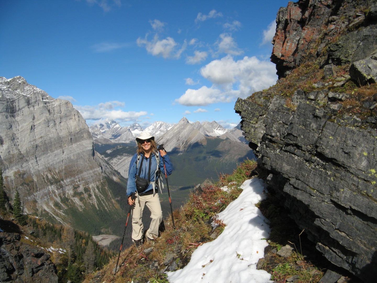
At the col
Cliff below the high point of Sarrail ridge
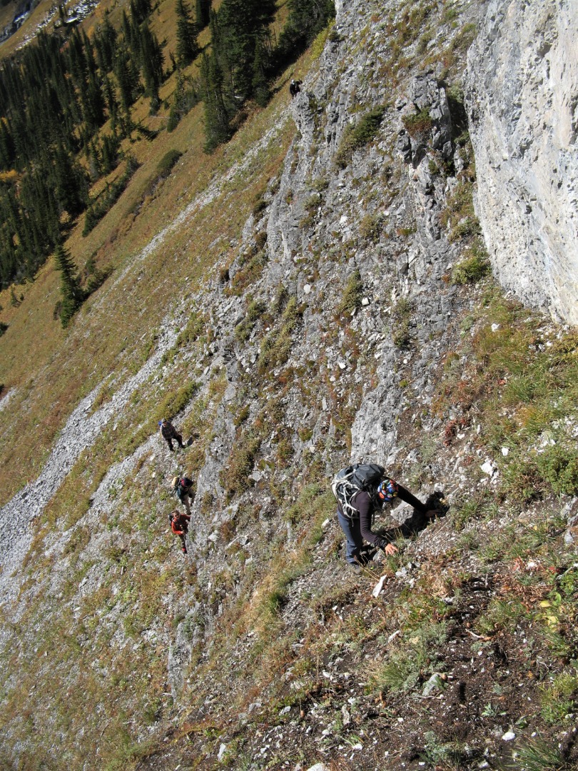
Scrambling up a weakness in the cliff band
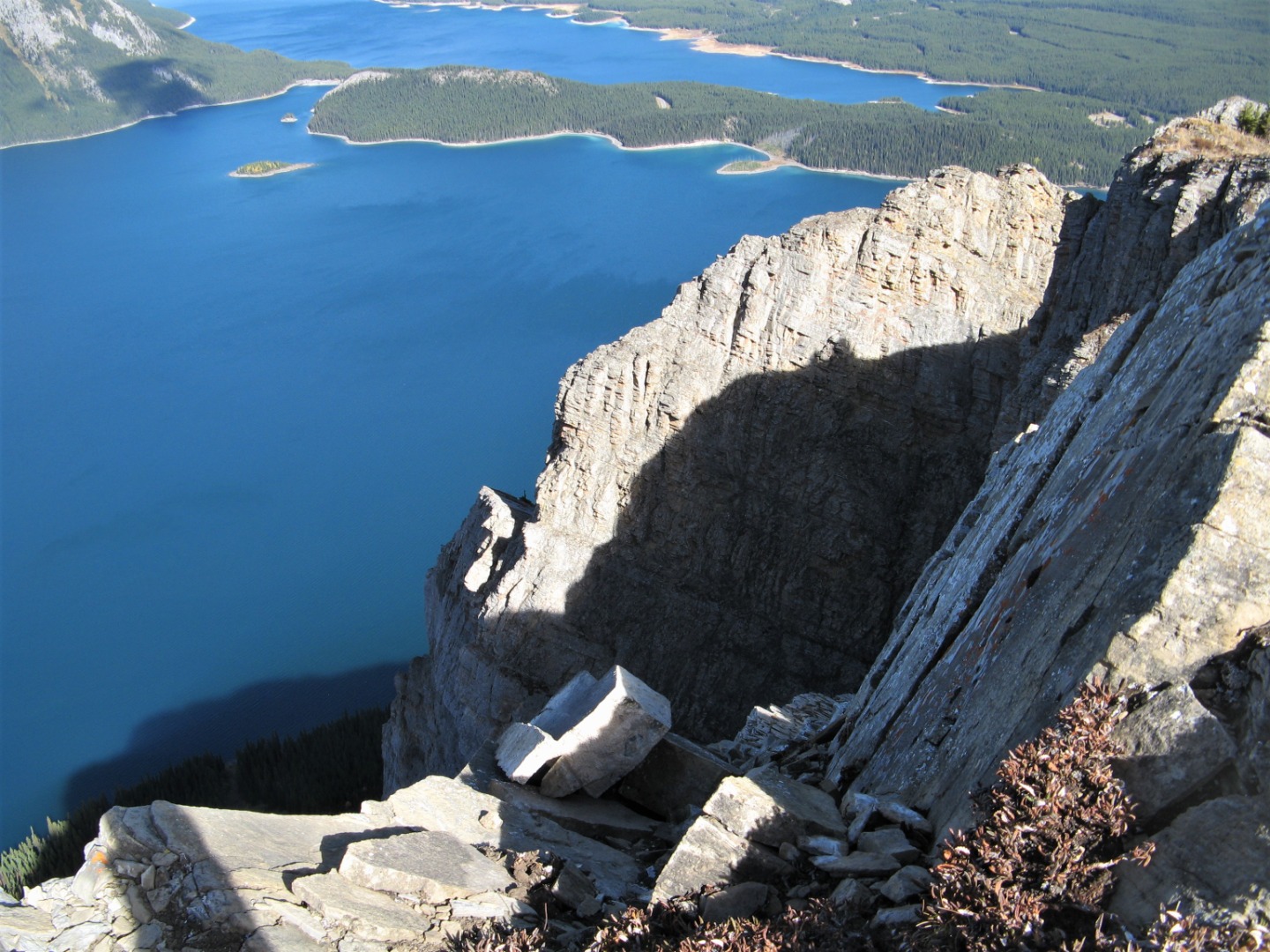
Grey cliffs /blue water
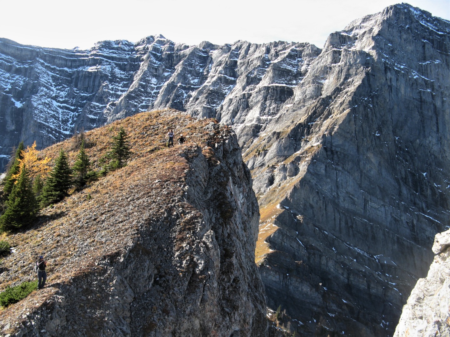
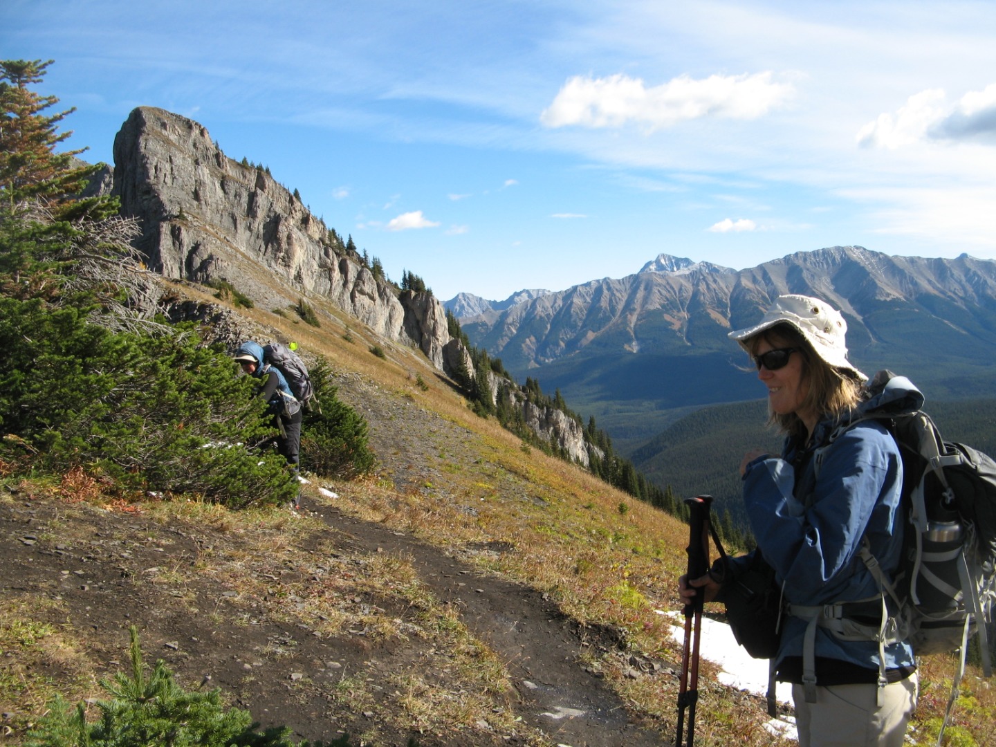
Upper section of Sarrail ridge
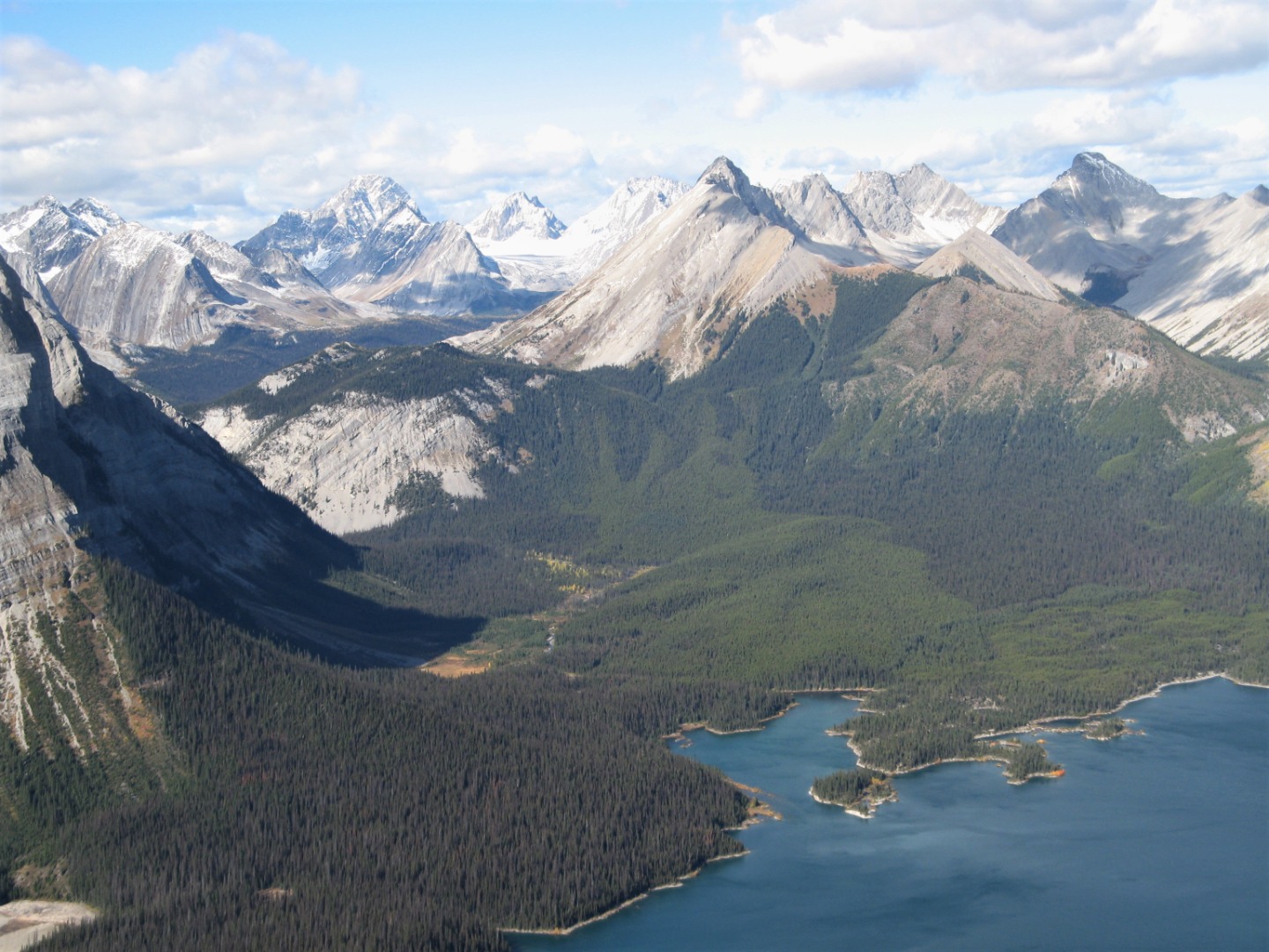
Views from the top
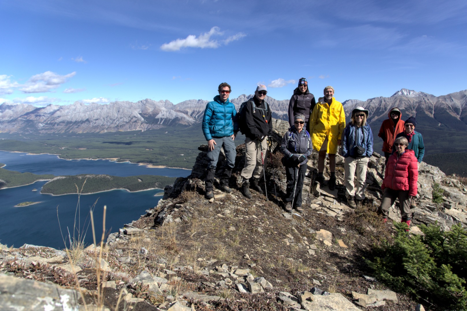
Summit group
Trip Statistics:
Elevation Gain: 723 m (bottom to top)
Distance: 10.1 km
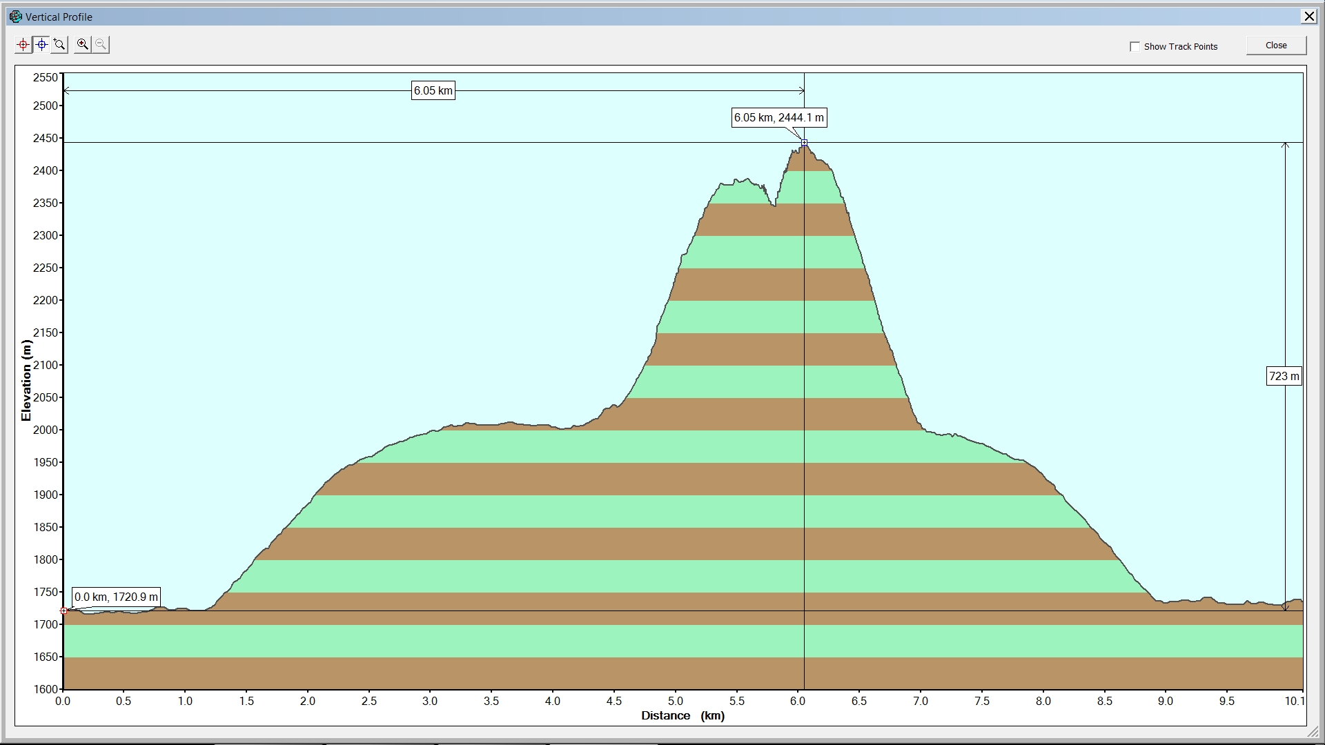
GPS Elevation Profile - Rawson Lk. & Sarrail Rdg.
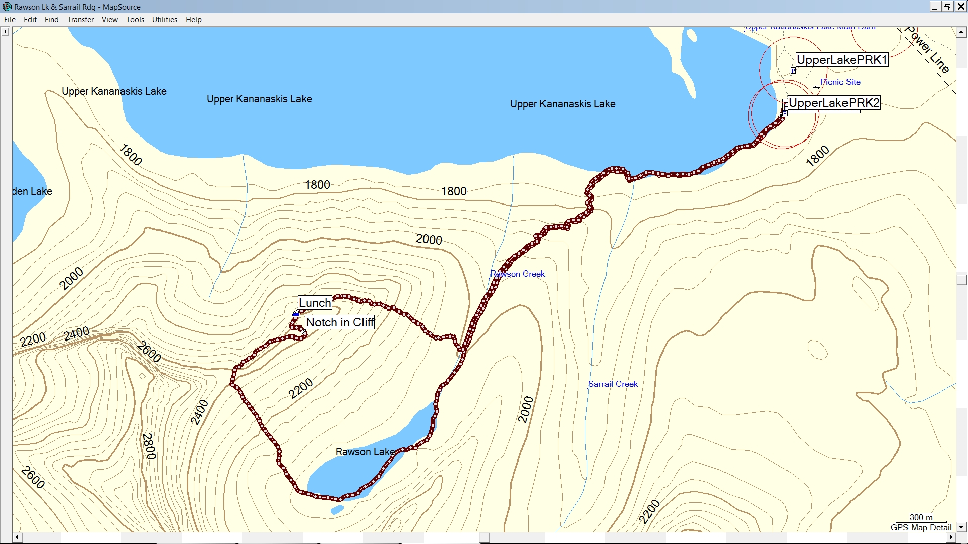
GPS Track on TOPO - Rawson Lk. & Sarrail Rdg.