The thermometer hovered just above freezing as we mounted our bikes for an early morning 12 km ride up the Little Elbow trail to Romulus campground. We then ditched our bikes near the picnic tables and started hiking southward along the undulating trail leading towards the dry creek fork where most people turn right, heading for Talus Lake. On the way we met a solo backpacker returning from a cold wet night camping near the lake. This was the only person we would see all day in this valley.
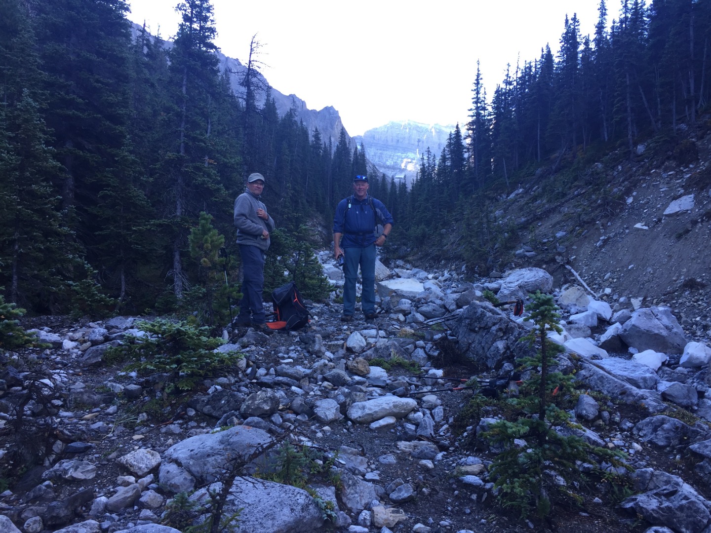
Ricardo and Simon starting up the trail
With patches of frost and graupel on the ground, it warmed our hearts and bodies to finally encounter sunshine in the meadow just before reaching the fork.
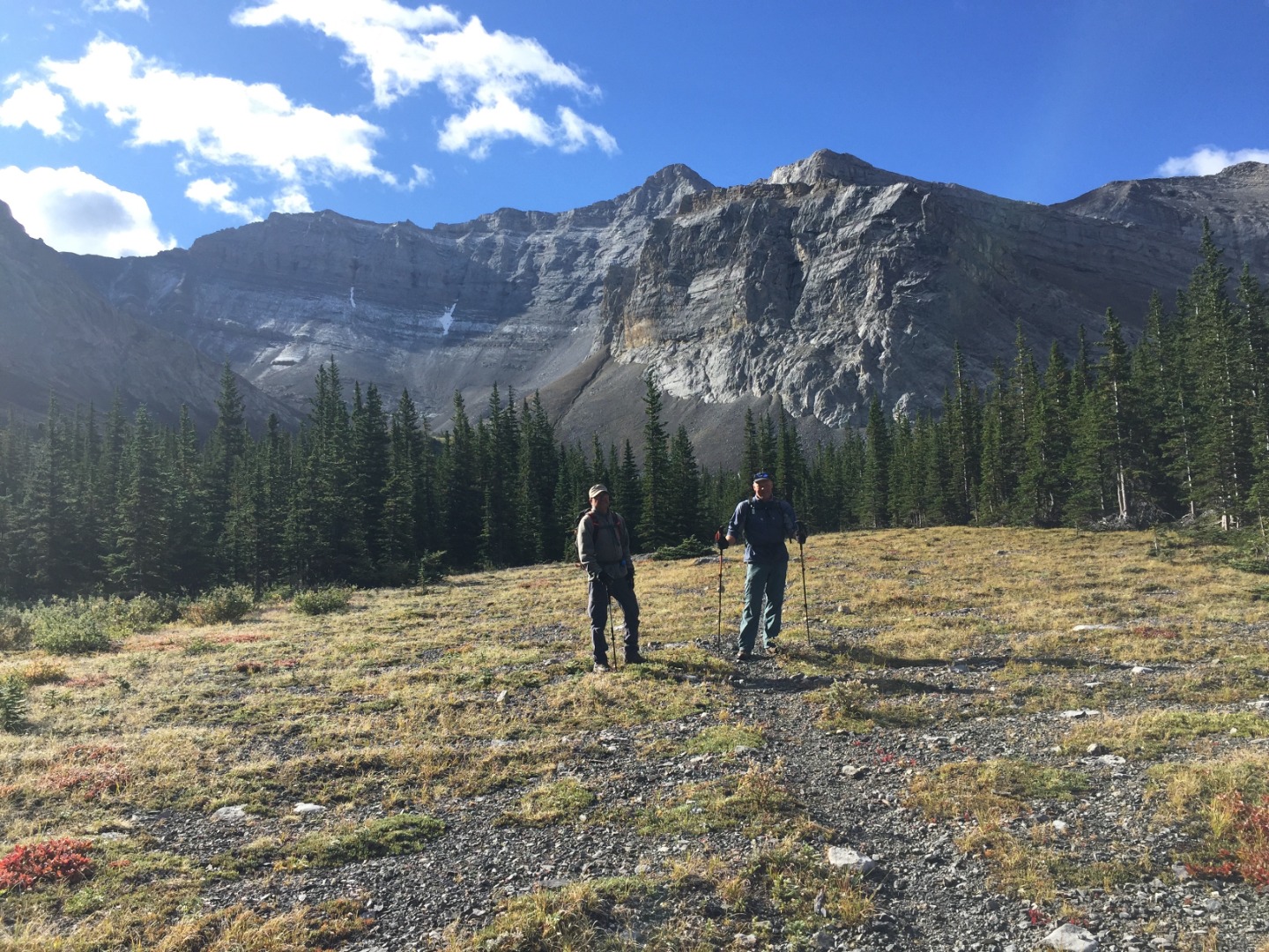
The meadow just before the fork
We turned up the left fork and soon ascended the grassy right bank and followed a horse trail to a waterfall viewpoint, the ending of any more trails. We continued upward and southward in this beautiful and remote valley, gaining ever-better views. We were heading for the Cornwall-Outlaw col, which would not become visible until we circled counter-clockwise.
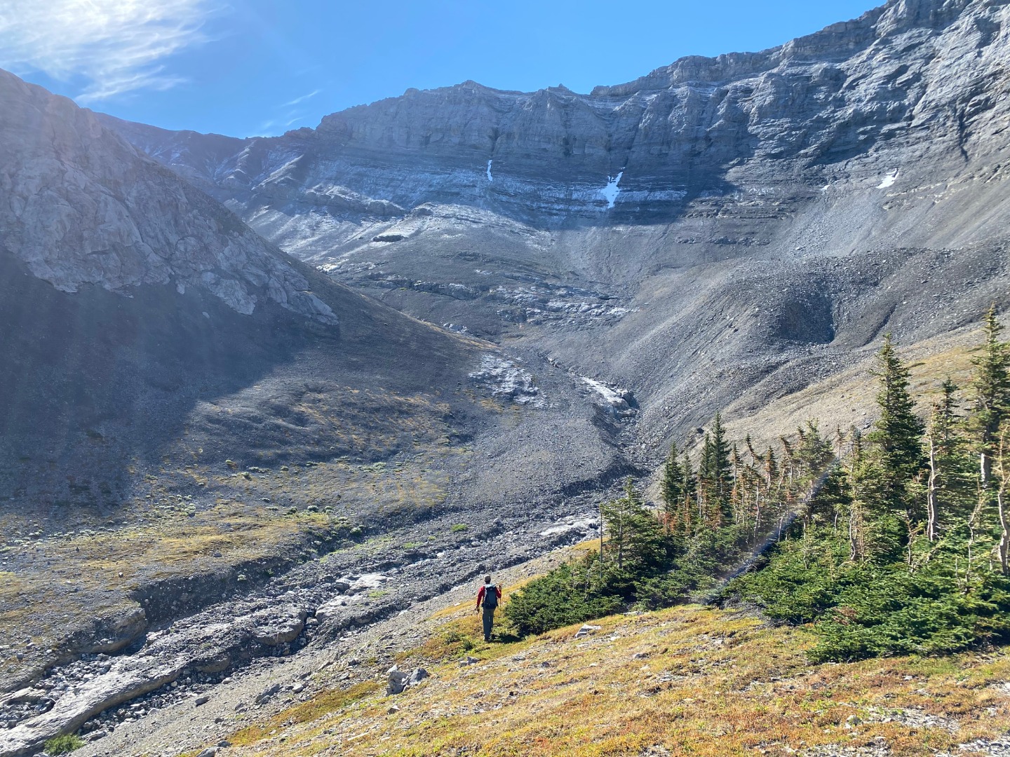
The upper valley past the fork to Talus Lake (photo courtesy Simon)
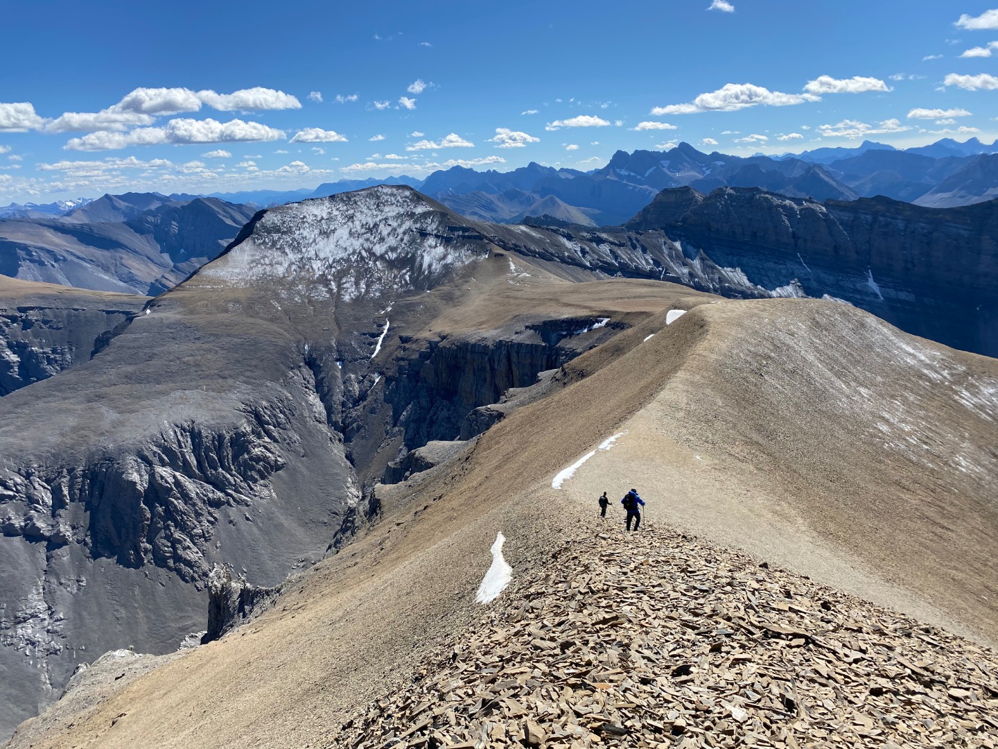
Mount Romulus dominates the skyline to the north. The previous photo was taken from the green grass & krummholz patch at center of the following photo.
Looking down the valley with Romulus in the background
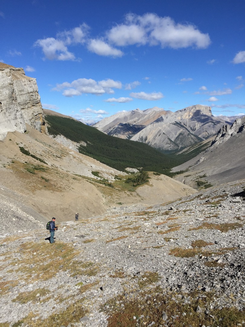
The upper valley has a nice mix of loose rock, easy-angled limestone slab, and flora patches. The final slog is mostly on brown crunchy dinner-plate shale. A cool NW wind greeted us at the col. After gaining 1,000 m from where we left our bikes, we scrambled up a couple of rock bands, but mostly walked up to Outlaw Peak for the final 200 m, arriving at 1 pm for a late lunch.
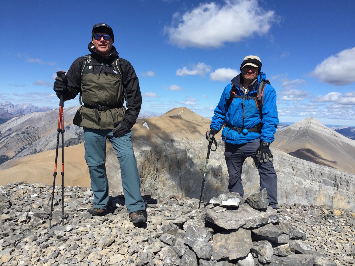
Simon and Ricardo on the summit of Outlaw Peak with Cornwall and Glasgow behind
Banded Peak looks different from this angle, sans the band. Since Cornwall was so close, and the majority of our party of 3 had never been up it before, we decided to hike over to bag a bonus peak.
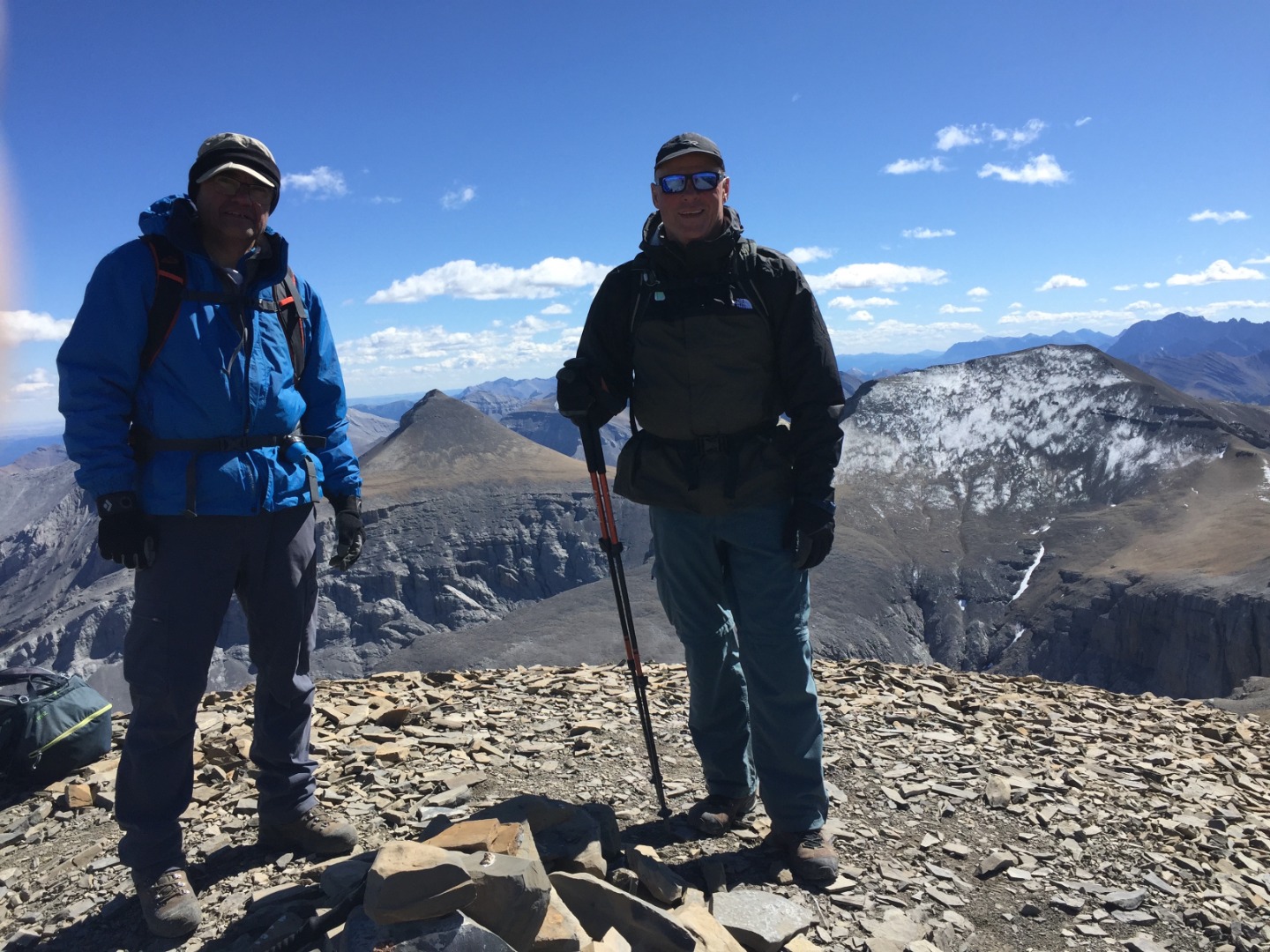
Cornwall summit with Banded Peak (left) and Outlaw (right)
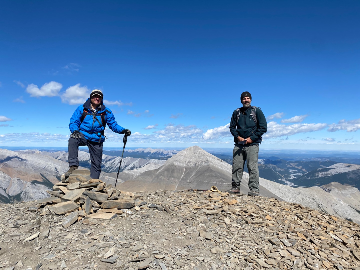
Ricardo and Brian on Cornwall with Glasgow in the distance (photo courtesy Simon)
For our descent, we bypassed the col and angled down through a cliff-band to regain our route farther down the valley.
Descending to the Cornwall-Outlaw col (photo courtesy Simon)
We retraced our steps the rest of the way back to our bikes and enjoyed a speedy ride back to the trailhead. Our very fine 2-peak day of 42.9 km and 1,920 m total elevation gain took us 11.5 hours, and was only possible thanks to the enthusiastic participation of: Ricardo,Simon.
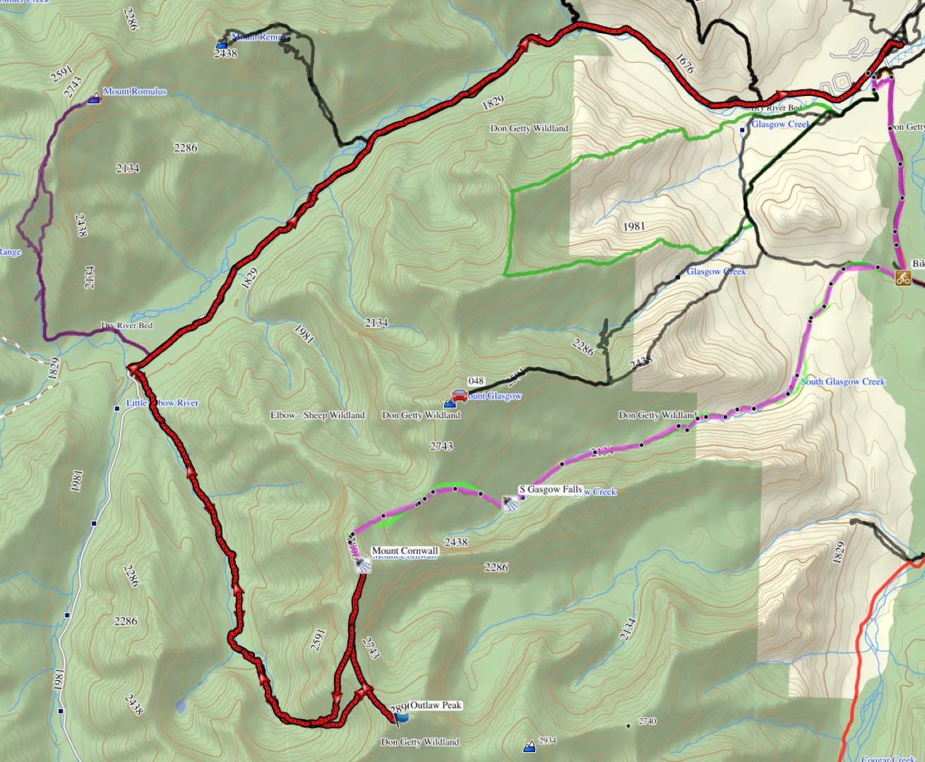
Our route (in red bold)
Brian, Coordinator.