Saturday, May 20
Six of us rendezvoused at the 4-star luxury Strand Hotel in Limerick. Some of the group had snaffled upgrades to the executive floor, so we were able to enjoy a happy hour in the executive lounge. Then we headed out by public bus to Bunratty Castle, for a Medieval banquet to celebrate the coordinator's birthday. We lords and ladies were welcomed by the butler for a mead reception and crowning of a new earl. The delicious meal was served with only a "dagger" for cutlery, and much Irish comedy and singing kept us well entertained. Then back to our ultra-modern digs by taxi.
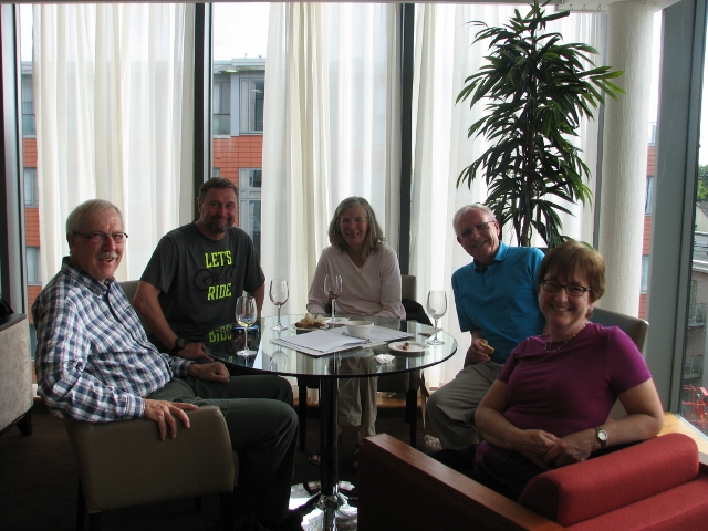
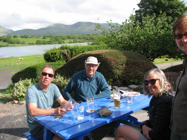
Ron, Bill, Susan, Carl, Barb enjoy rendezvous happy hour in Strand Hotel
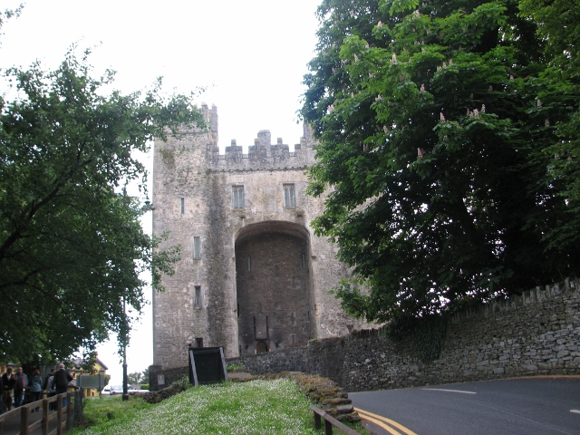
We celebrated the coordinator's birthday at Bunratty Castle's medieval banquet
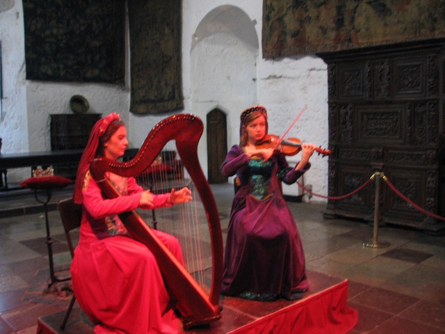
Harp and violin music entertained us during mead reception
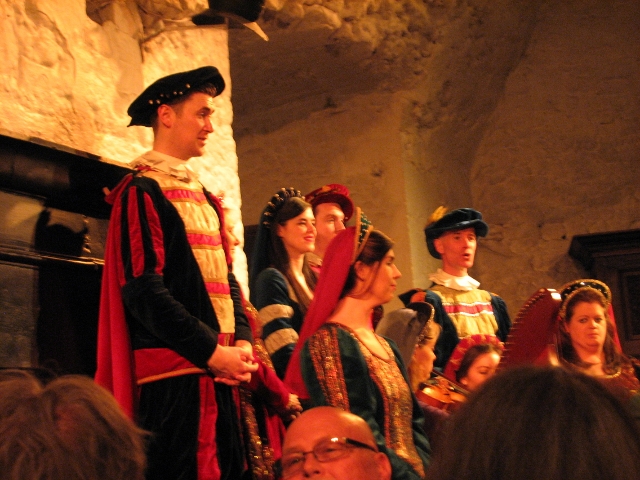
The castle's medieval staff sang during the splendid banquet
Sunday, May 21
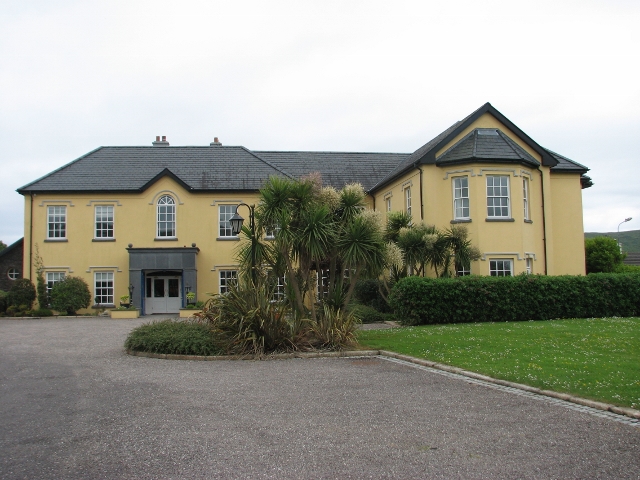
Our outfitter, Peter Galvin of Wonderful Ireland, had arranged a van to transport us to Tralee, capital city of County Kerry, where we met Ginger and stayed in the luxurious Georgian Park B&B. We were lucky to get tickets to a concert of Gaelic and English singing and Irish dancing at the nearby National Folk Theatre of Ireland, where we all enjoyed the very talented performers.
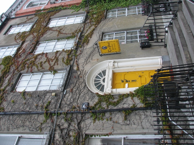
Georgian Park guest house in Tralee, capital city of County Kerry
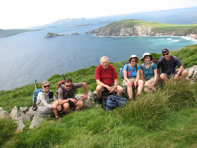
Monday, May 22 TL3, 19 km, 400m ascent
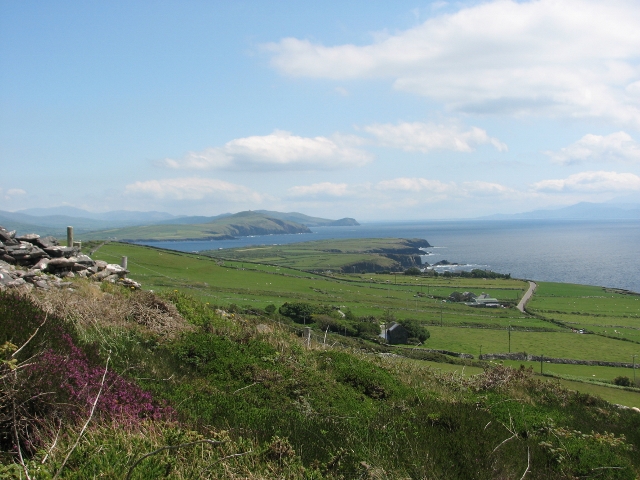
And now for the hiking! We started out along a canal by the Blennerville historic windmill, and along a very scenic trail which contoured along the Slieve Mish mountain range. The weather was typical, with just the odd drizzly periods in an otherwise cloudy but mild day. The climate of Ireland is West Coast Marine and very mild for its latitude of 52 degrees due to the influence of the Gulf Stream. In fact, there are ornamental palm trees all around the country. The trail was fairly challenging, with lots of boulders and boggy bits to hop over. Finally, we dropped down to Camp Junction B&B, which had a fine ocean view of Tralee Bay. Across the street we hoisted some Guinness and other liquid refreshment in the Railroad pub, which was on a railway line from Tralee in Victorian times, and had a fine supper at the Junction pub.
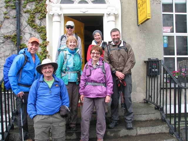
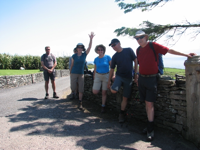
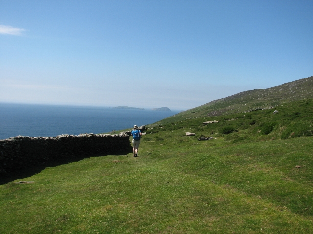
Start of the first hike--Jon, Carl, Ron, Ginger, Susan, Barb, Bill
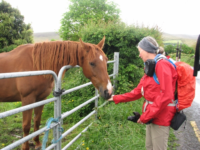
Susan befriends handsome horse along the trail
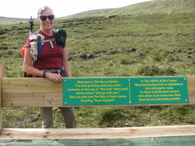
The Dingle Way is also the Kerry Camino, an alternate start to the Camino Santiago
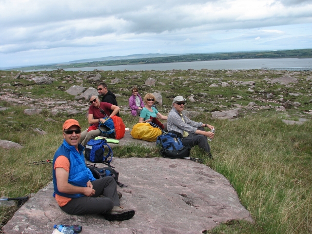
First lunch on the rocks on the flank of the Slieve Mish Mountains
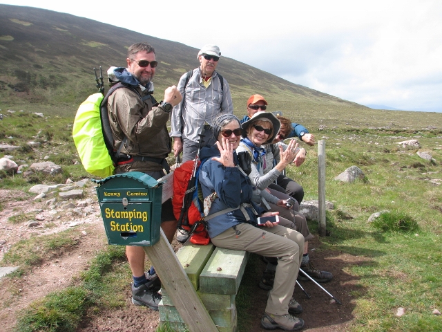
Kerry Camino stamping station
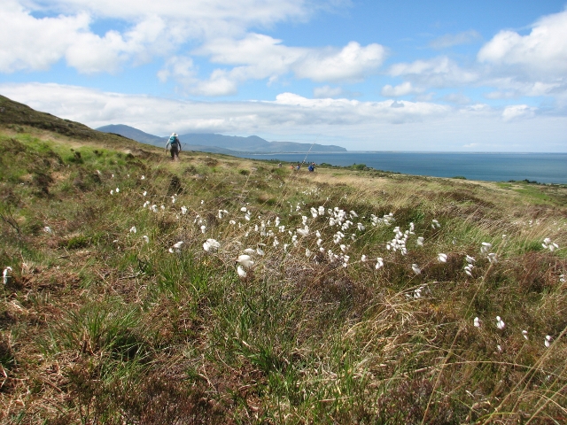
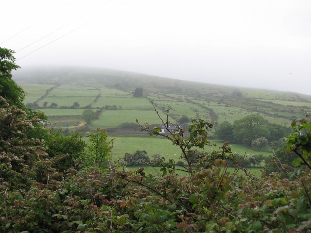
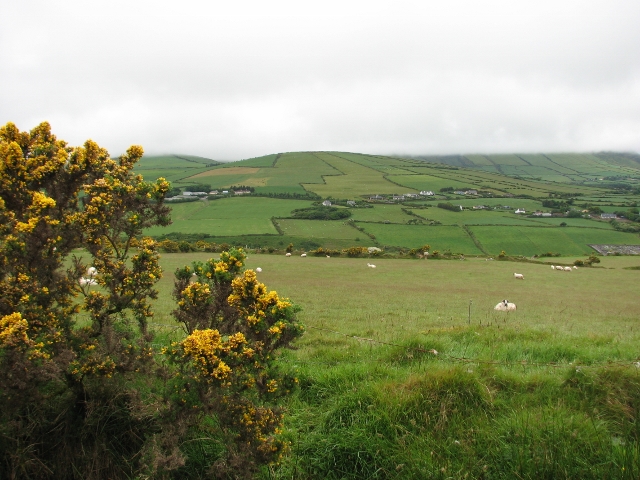
Bog cotton frames view of Tralee Bay and the mountains of Kerry
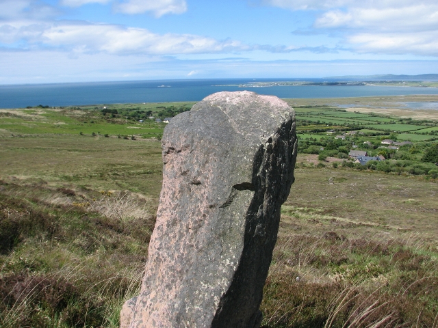
Standing stone (bronze age before 2,000 B.C.)
Tuesday, May 23 TL2, 19 km, 420m ascent
We started over a 720 foot pass in fog and mist, to Inch Strand, a pristine sandy beach on Dingle Bay, where ice cream and other refreshments were enjoyed. Then over another high point to the Anchor Inn in the village of Anascaul. Supper was in the South Pole Pub, named for locally famous Antarctic explorer Tom Crean, who is also the namesake of the Dingle brewery's flagship ale.
Lush green countryside of the Emerald Isle
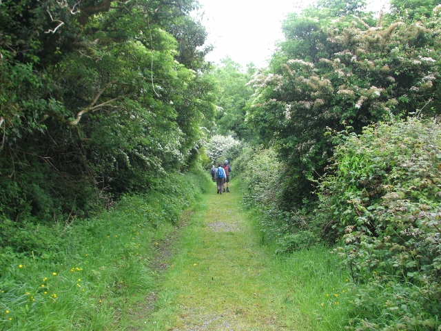
Knock your eyes out green along the Dingle Way
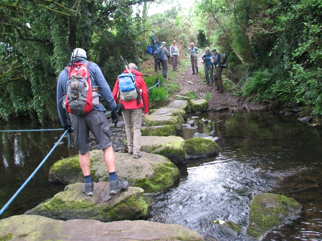
Crossing the Finglas River by stepping stones
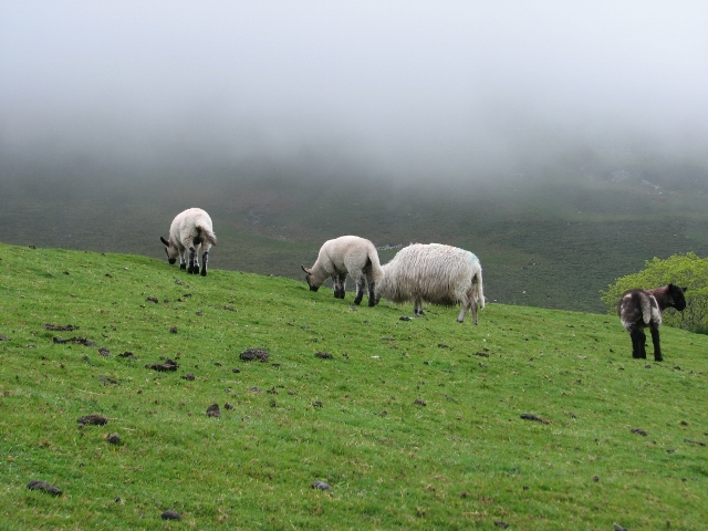
The sheep outnumber the people
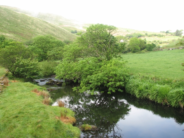
Quiet stream in the mountains
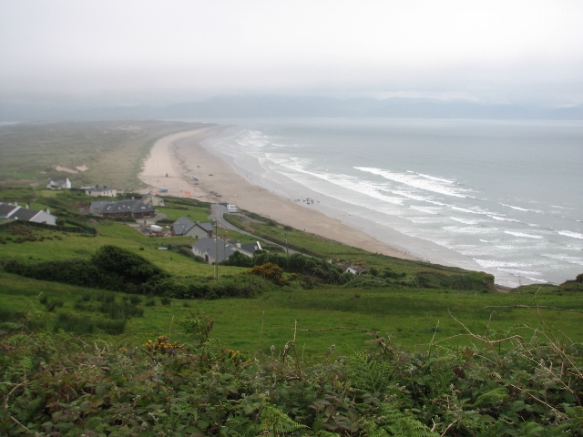
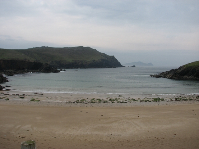
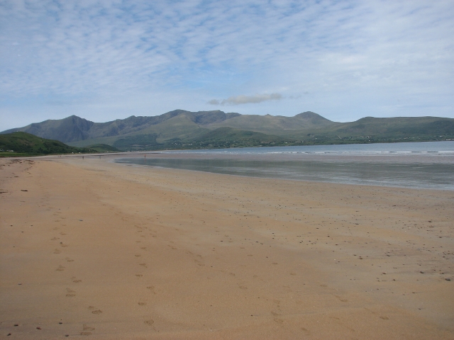
View of Inch Strand beach
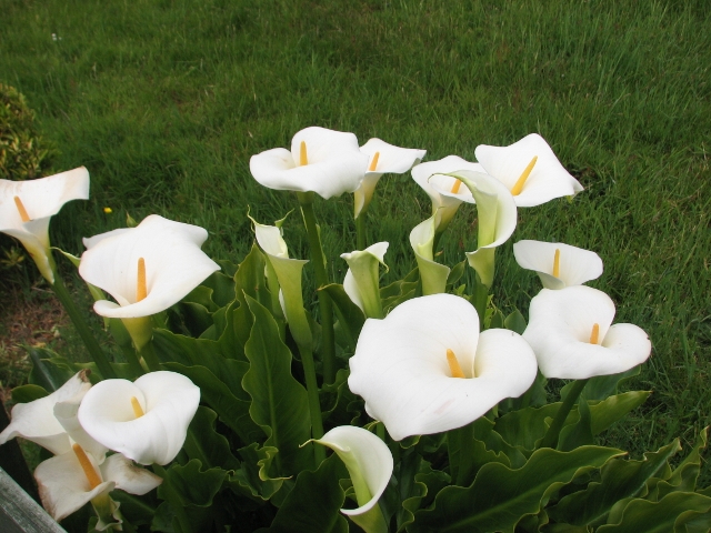
Calla lillies are in full bloom everywhere
Wednesday, May 24 TL2, 23 km, 500m ascent
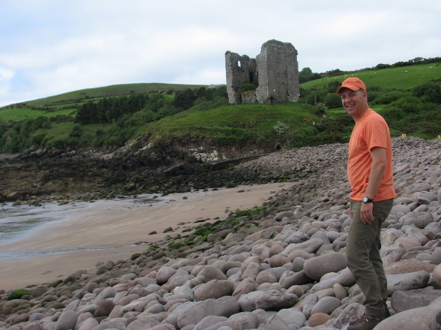
Today turned out to be the longest hike of the trip, as we hiked over hills to Minard Castle, on Jon's birthday, then around the wild base of the Connor Pass, highest road in Ireland, and down to Dingle village, where we stayed at Emlagh House, a four-star luxury B&B complete with lifts, huge rooms fit for the denizens of Downton Abbey, bathrooms with both tub and shower, two sinks and heated tile floors--all this with views of Dingle harbour as well. Supper of the highest calibre was at Moriarty's pub, a locally famous eatery and watering hole.
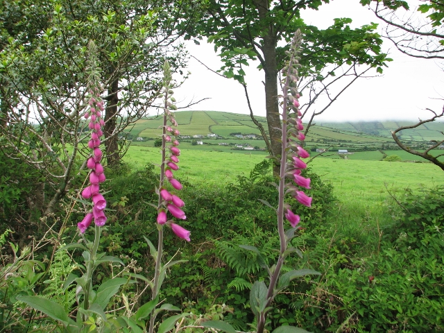
Fox glove (digitalis) grow wild in the countryside
The gorse bloom yellow in May
Jon was king of Minard Castle on his birthday
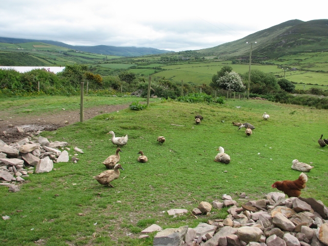
Ducks and chickens in a yard with a view
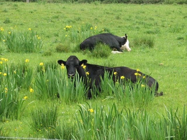
Cows in the iris which grow like weeds in the lush grass
Emlagh House, our 4-star luxury guest house at Dingle
Thursday, May 25 TL3, 17 km, 420m ascent
Before today, our hikes were all a little longer than advertised, but today we cut off a wee bit by taking the luggage van to Ventry, from which we walked down the beach, then took an extremely scenic trail contouring Mount Eagle, with spectacular views to the Skellig Islands and the Blasket Islands on a truly summery day. Some of us neglected the sun screen and got sunburned legs. Our accommodation was at Gleann Dearg B&B. Our hostess was a fabulous cook and we dined with fine views of the ocean and the Blaskets. The rooms were small and the bathroom the tiniest I have ever seen, but in this beautiful and hospitable location there were no complaints.
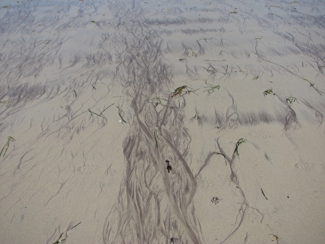
Tidal patterns on the beach at Ventry
Lunch stop along the way
Dingle Bay view from the slopes of Mount Eagle
The trail contours along the slopes of Mount Eagle
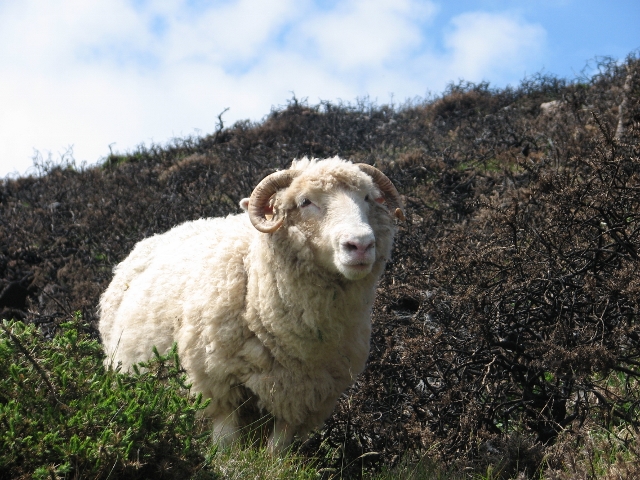
White sheep of the family
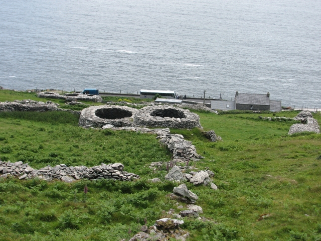
Clochanes are ancient stone building ruins
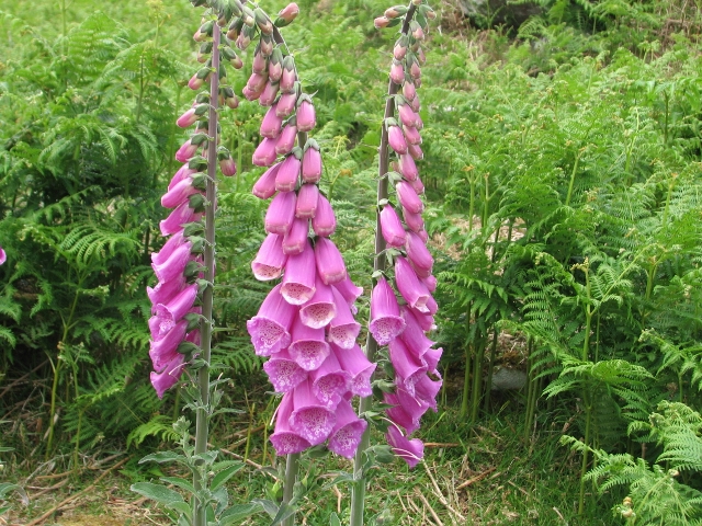
Fox glove and ferns
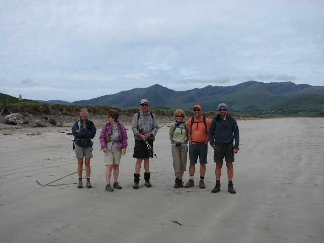
Susan, Bill, Ron, Barb, Ginger, Jon at lunch time at Slea Head
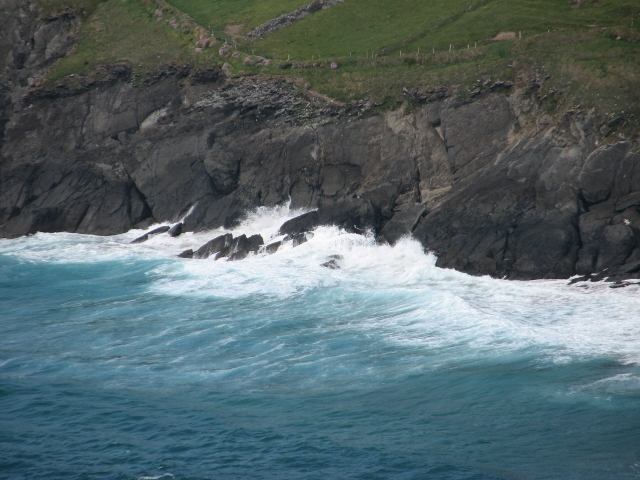
Atlantic waves crash onto the shore at Slea Head
Friday, May 26 TL2, 16 km, 200m ascent
Today was advertised as 28 km, but we kept it to 16 km by accepting a pick-up at the pub at Ballydavid. The hike was over some hills to the beach at Smerwick Harbour and along the hard packed sandy beach. Our B&B was the three star An Bothar Pub, with views of green fields full of sheep and mountains. Our ubiquitous host drove the van, directed his sheep dog in chasing an escaped sheep, pulled drinks, served tables and washed dishes, all with disarming charm.
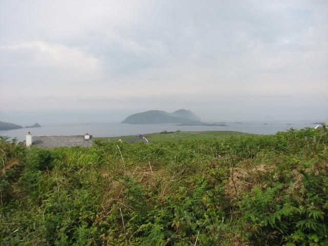
Great Blasket Island
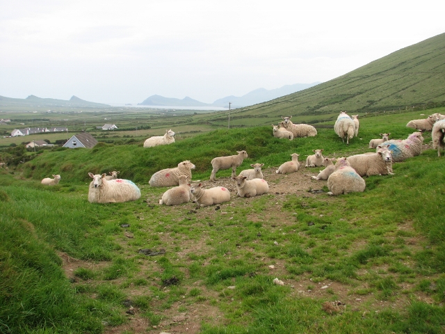
Sheep near Slea Head
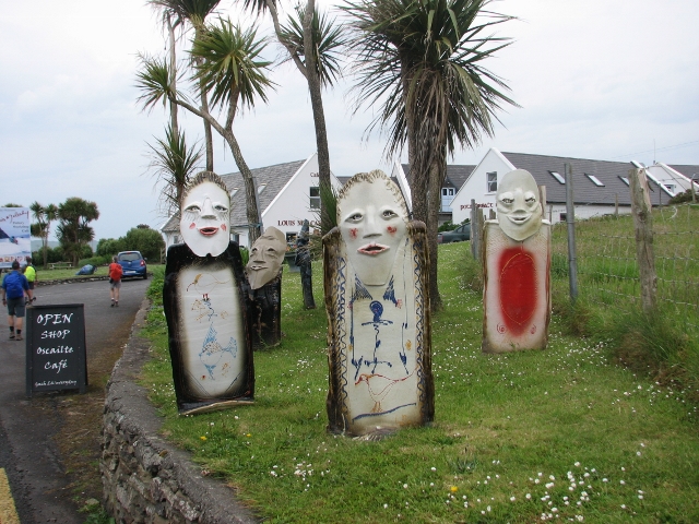
"Faeries" appeared in front of pottery shop
The rugged shore of the western tip of the Dingle Peninsula
Saturday, May 27 TL4, 16 km, 730m ascent
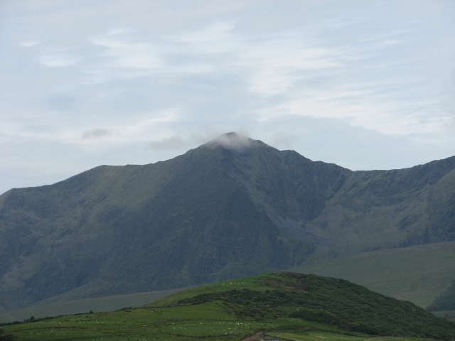
Today we hiked over the shoulder of Brandon Mountain, second highest peak in Ireland. It was very foggy and very wet, similar to conditions we experienced on climbs of Ben Nevis and Ben Lomond in the Scottish Highlands in 2008. There were bright white marker sticks to follow and they were definitely needed. Being experienced hikers, we stopped at one point after not seeing a marker for a while, and found the route took a right angle over the ridge. To go wrong at that point would have been very dangerous. We finally emerged from the fog at around 800 feet elevation, to fine views of the Atlantic Ocean far below. There were four options ranging up to 21 km to finish the day and we took the shortest, arriving at the 1860 coaching inn O'Connor's Pub at Cloghane. The building was very rustic but very charming. We enjoyed drinks on the lawn with ocean and mountain views. That evening a party erupted with live music.
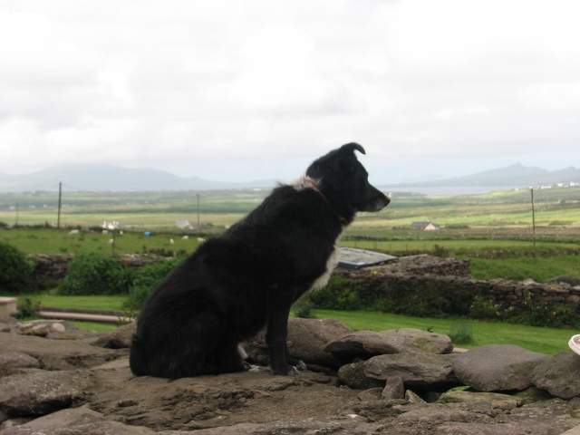
Sheep dog shows his best profile
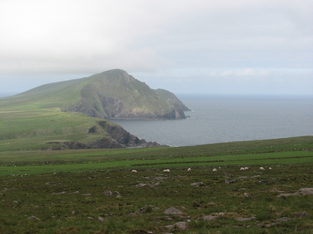
Coastal view from just below the cloud on Brandon Mountain
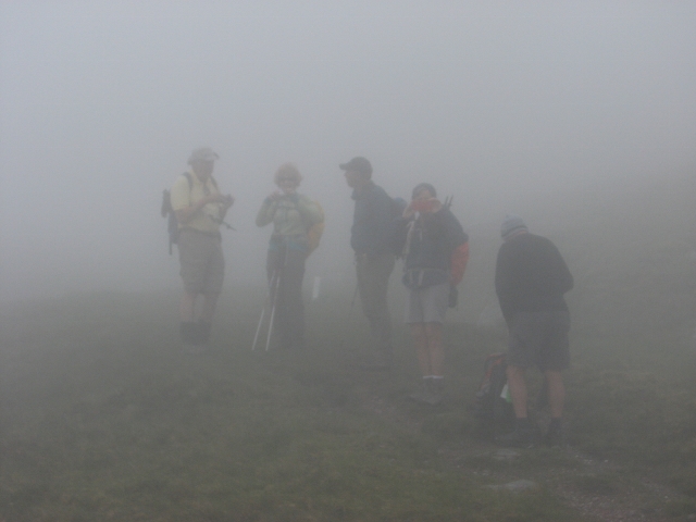
Ghostly figures of Ramblers loom out of the fog on Brandon Mountain
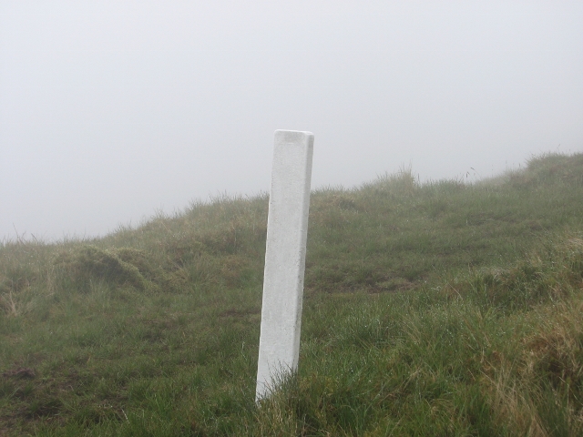
Bright white markers on the mountain for safety in the fog
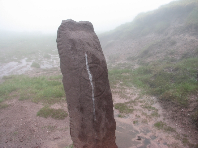
Summit marker shows celtic markings and ancient Ogham alphabet
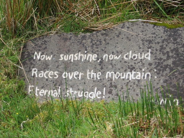
A mountain poet left his mark on Brandon Mountain
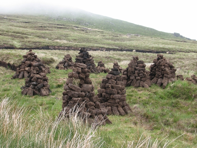
Freshly unearthed bricks of peat being dried for use in the hearth
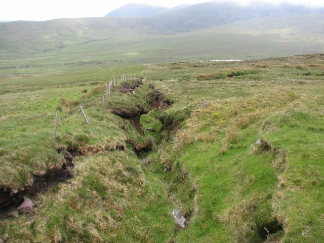
Water drainage sinks deep into the peat on Brandon Mountain
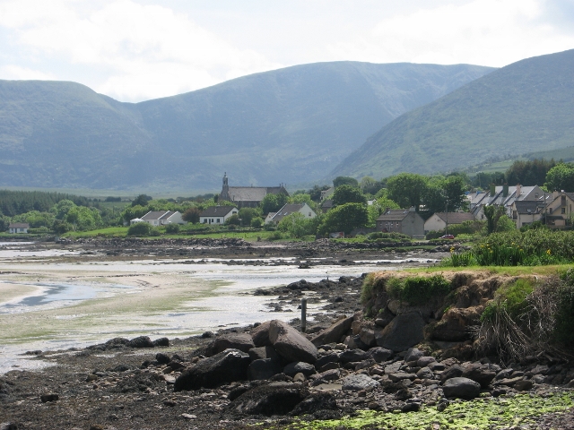
The village of Cloghane on Brandon Bay
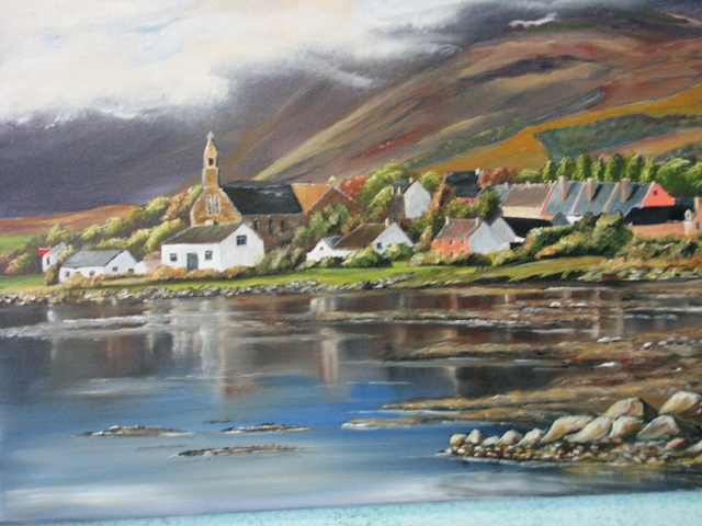
Painting of the village of Cloghane
Hoisting Irish brews on the lawn behind O'Connor's Pub in Cloghane
Sunday, May 28 TL1, 12 km, no ascent
Today we took a van ride to Fermoyle and walked the hard packed sandy beach along Brandon Bay to Harbour House at Fahamore, where we were again picked up and taken to the four star Brandon View B&B at Castlegregory, with views of the Brandon Mountain shoulder we had hiked two days before. Here Peter Galvin paid us a personal visit to celebrate our trip and listen to our feedback. Later we enjoyed a fine party with live music in Ned Natterjacks Bar. Without the pickups the route would have been 20 km.
Summit of Brandon Mountain (a sacred pilgrimage to St. Brendan)
View of Brandon shoulder over which we hiked in the fog
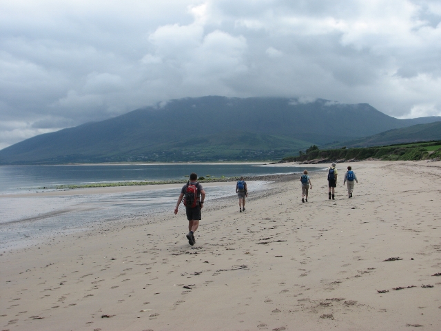
Susan, Barb, Ron, Ginger, Jon and Bill on the beach
Pristine and deserted sandy beach on Brandon Bay
Monday, May 29 TL1, 11 km, 60m ascent
This could have been an 18 km day if we had taken a ride back to Fahamore to walk the beach we missed yesterday, but not being purists, we walked straight to Camp, mostly on the beach. We were met at a pub where we could not finish with a pint as there was a wake going on, and transferred to the Park Hotel at Shannon International Airport. Even there the food in the pub was fabulous. In total we did more ascent than advertised, but the 133 km was preferable to the advertised 172 km.
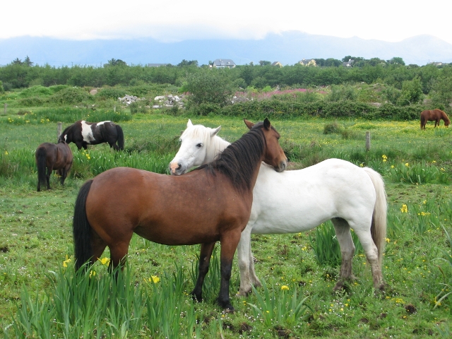
Horses--"you scratch my back, I'll scratch yours."
Final stretch on the beach on Tralee Bay
Tuesday, May 30
Jon remained in Ireland for more travels, but Bill, Susan and Carl returned home and Ron, Barb and Ginger flew on to Geneva for more hiking adventures.