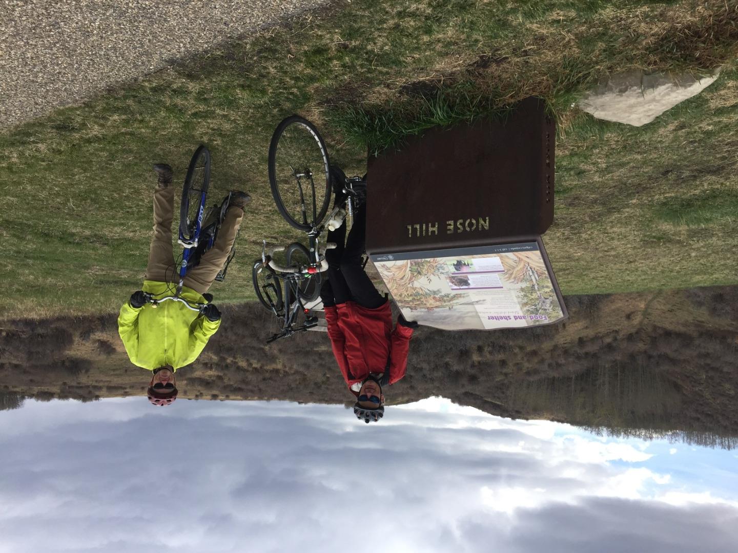
What started out as a sunny beautiful day did not disapoint and finished off just as wonderful with overcast skies. As we progressed north-northwest, gradually gaining elevation, crossing Stoney Trail where we moved westward and coming to a few swichbacks as we approached Sarcee Trail and gaining our highest point for the day. Turning south, we honed in on Nosehill Park, for a nice lunch. From the top of Nosehill it is a basic coast, easy pedal as we decend.
A nice ride, easy going from here, Bob & Jim.