A pleasant day with sunshine and we avoided the worst of the wind gusts today since we were in the trees. We started from Sibbald viewpoint and walked down the road to the southwest ridge. This is not the cut-line ridge but we wanted to get off the road. We climbed up this ridge which eventually merged with the cut-line ridge and with a hiker's track.The ridge gradually climbs with a few dips to the main summit. Blow down from the significant windstorm awhile back was mainly in the middle section of the route. We crossed a fence line (K-country boundary) lower down and recrossed it before we reached the summit. Interestingly, there is an exploration road not far from the summit. The summit now has a cairn with, believe it or not, a summit register placed in a black sleeved container (similar to mountain containers) and placed in 2018 by a father/son combo. The main summit is totally treed with no real views.
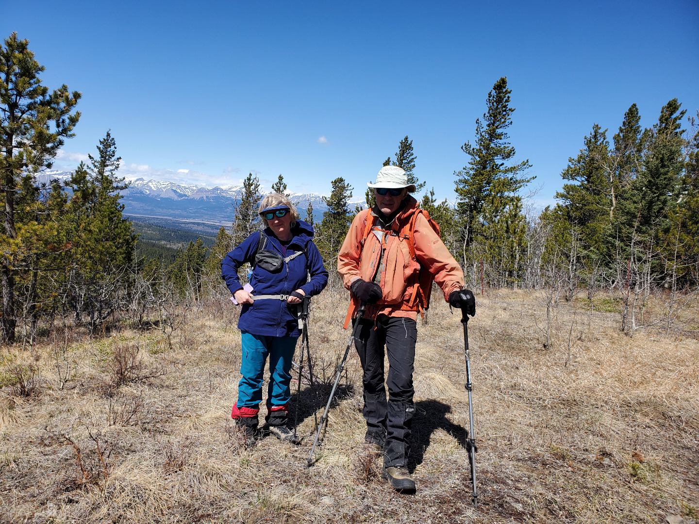
After a short break at the first and main summit as well as signing the register, we headed on to the north summit. This route follows the Kananaskis boundary fence line right to the north summit. This ridge undulates a fair amount. There was a quite a bit of blow down and slide alder was quite present on the north facing downhills where there was more moisture. Also the occasional ice patch on the north facing slopes. The north summit was reached around 1:00pm where we had a leisurely lunch. This summit is quite open with views to the northwest and southwest.
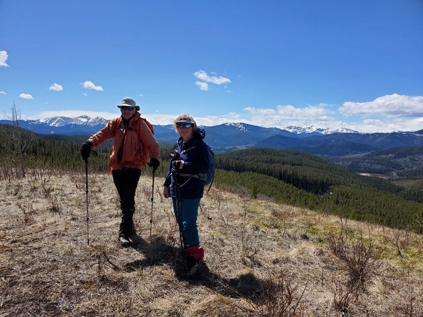
Ole Buck Mountain North Summit looking southwest
Ole Buck Mountain North Sumit looking northwest
During lunch we reviewed the loop which Daffern mentions in her book one could take to return to the cars using the 2nd valley. It seemed to have some merit to avoid the deadfall and slide alder encountered on the ascent route. Although this was not part of the original plan, we decided to give it a go, the bonus being trails would bring us right back to the cars (no road hiking at the end of the day).
The route follows the K-country boundary fence line down to "the 2nd valley" then connects to a track which takes you to open meadows in the valley. There was slide alder on the section along the K-country fence, but once on the track heading to the valley the track was well defined and fairly wide. Soon after, this track brought us to small meadows which stretched along the creek in the valley. Almost no blow down on this section. After crossing the creek for a second time, the track became wider and eventually brought us to some ponds north of Sibbald Lake. These were skirted around and the route joined the Ole Buck interpretive loop. After crossing Bateman Creek we turned left at the first junction and this trail took us out to the road. The trail continued across the road and took us back to the cars, affording some nice views of Sibbald Flats before arriving at the parking lot at 3:00pm.
An interesting route with lots of variety, made this a pleasant and new trip for all. Thanks to participants: Sim and Agnieszka for joining me and making this trip possible. Thanks to Sim for the photographs and the GPS checks when needed.
.Bob C/S