We each drove separately and started hiking west from the Red Rock Canyon TH along the easy snowshoe trail soon after 9.30am. After about 3.8 km we passed the turnoff to Goat Lake and continued another approx 4.4 km to the Snowshoe campground and ranger cabin for lunch about 12 noon. It was comfortably sunny and warm.
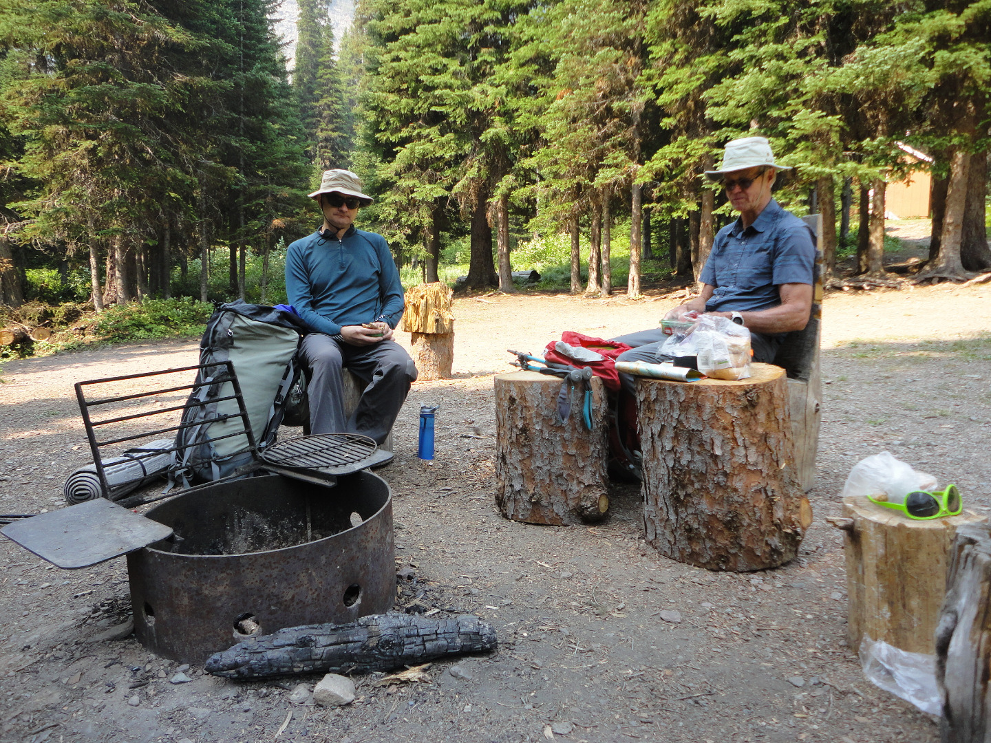
Brian and Evan enjoy lunch at the snowshoe campground in Waterton NP
We continued uphill past the Lost Lake turn-off to the park boundary at snowshoe pass. After some discussion, we decided to camp 50 metres outside the national park and access water from a creek about 1 km further back in the park. Since it had only taken us 4:30hrs to the camping spot, we enjoyed a leisurely afternoon swapping stories and mosquitoes. The latter eventually drove us to our respective tents by 9.00pm.
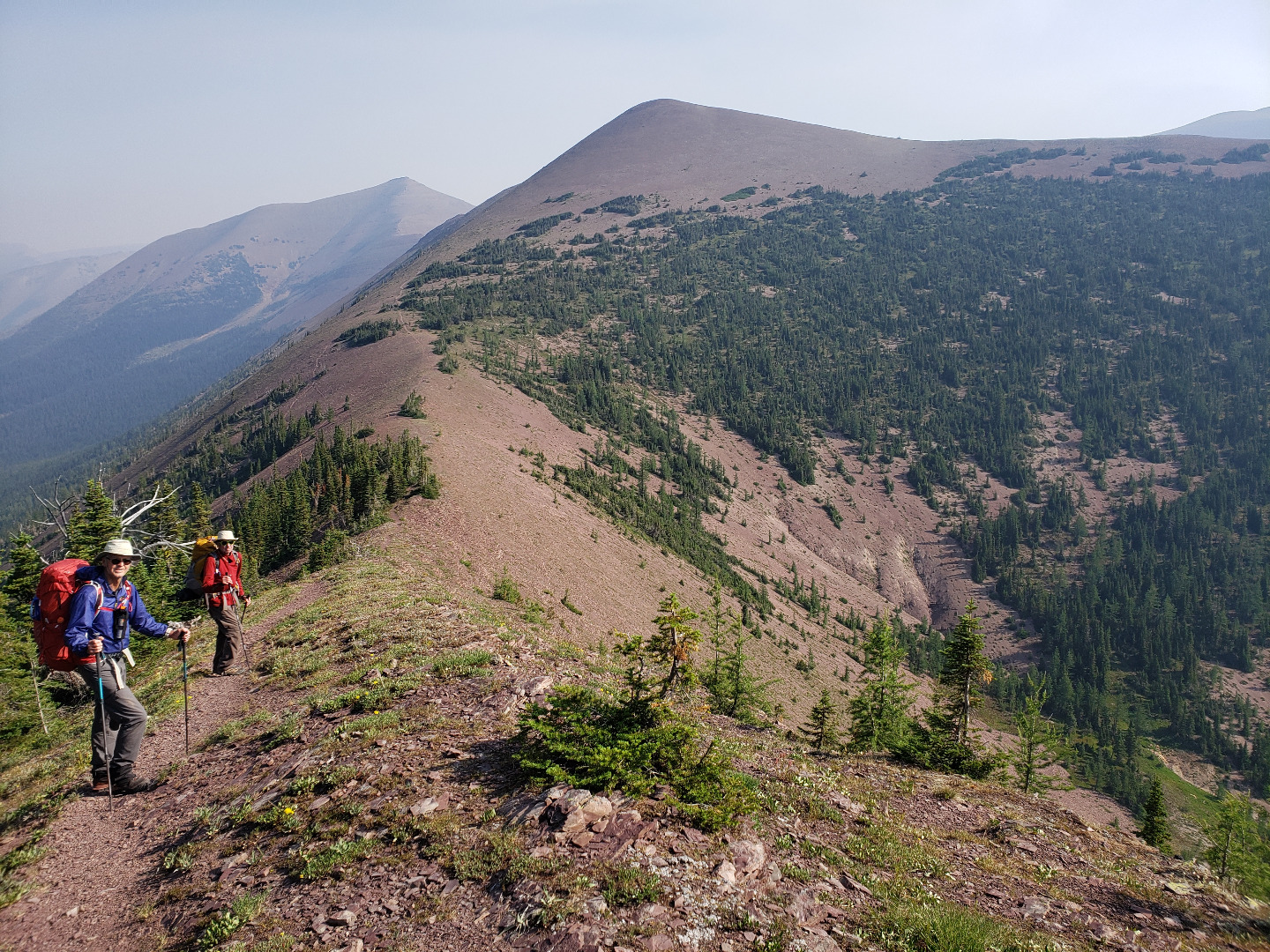
After a warm night (+10c), we got going on Saturday morning by 7.45am up the signed and cleared parks trail towards Avion Ridge. I last hiked this about 20 years ago and it was in much better condition than I remembered. A steady climb up to the ridge was followed by a relatively flat traverse of the (5km?) ridge. At 9.30am, we took a longer break and took out the paper map (yes, a genuine map) to identify the scenery. This was pretty good despite some smoke and wind. We took another break to dump our packs at the signed Avion/Newman Col at 10.30am. Earlier 2 runners had passed going anti-clockwise.
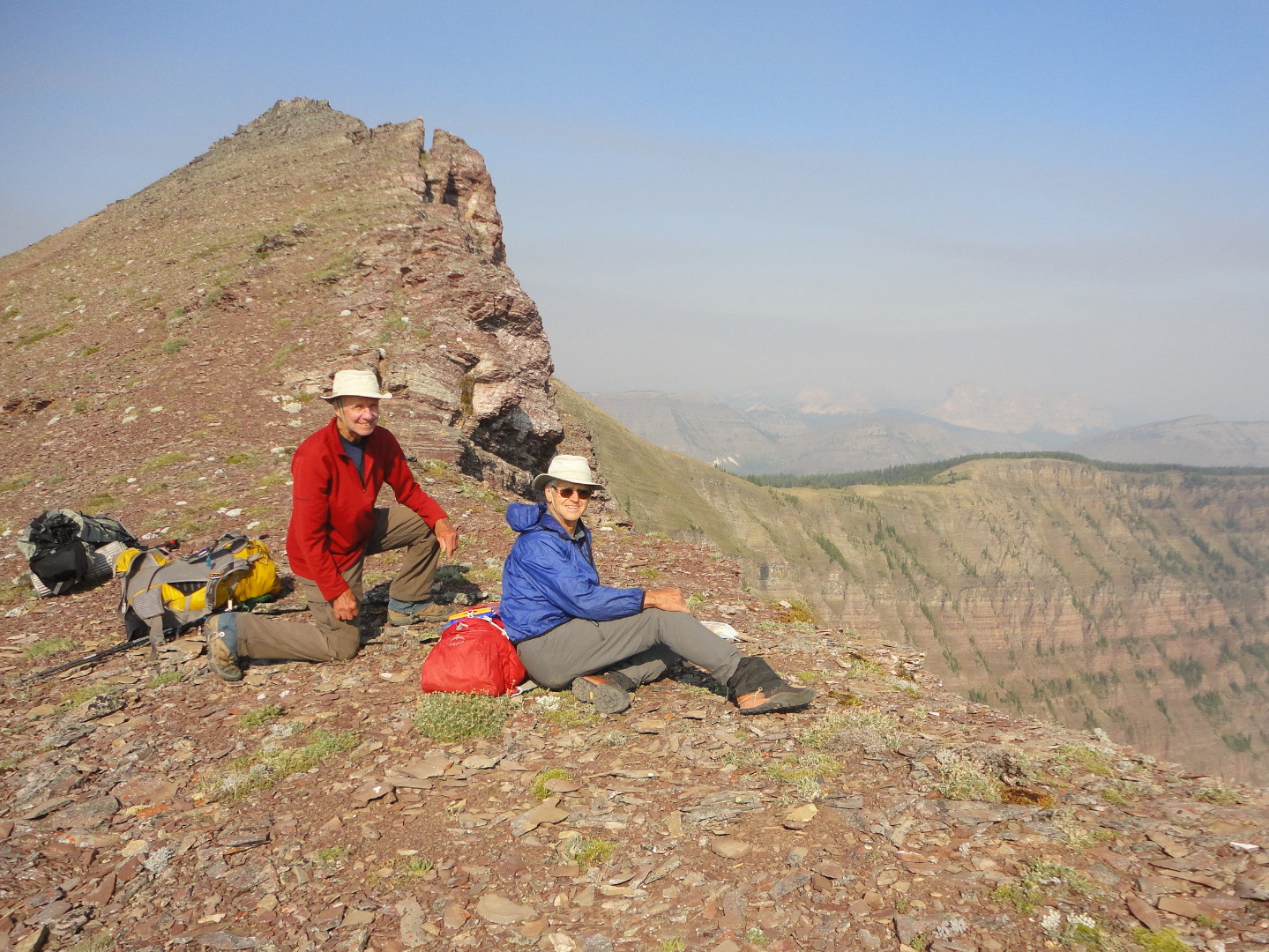
David and Evan enjoy lunch and views near the summit of Avion Ridge in Waterton NP
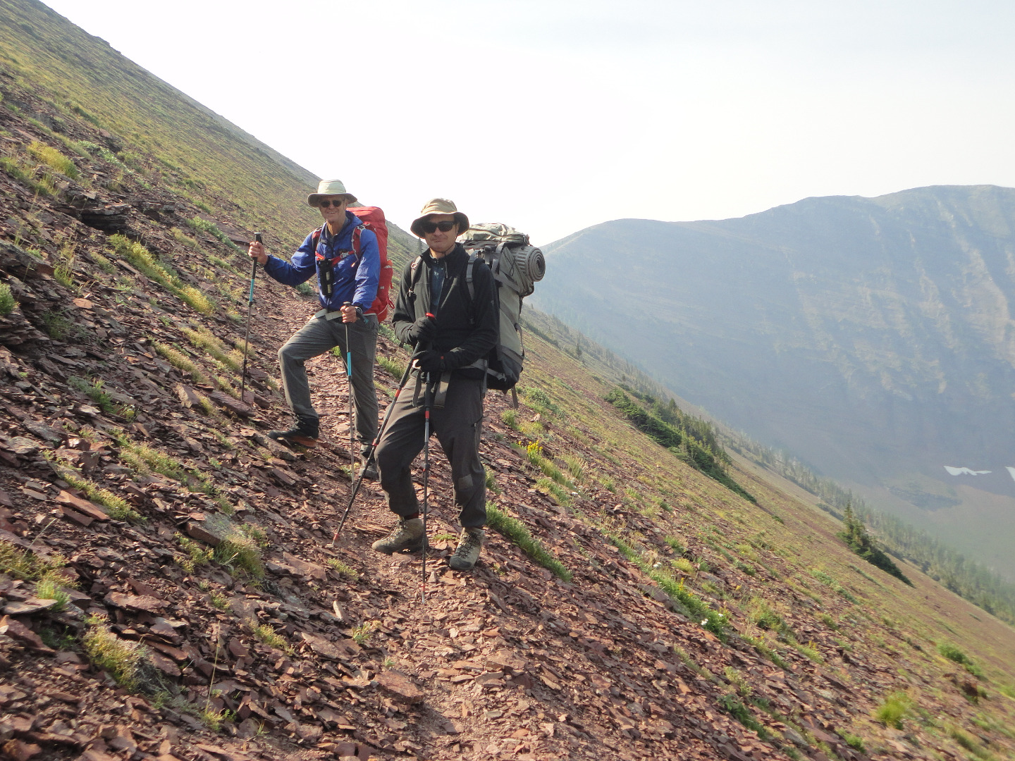
Brian and Evan on Avion Ridge trail in Waterton Park
Evan and David on Avion Ridge in Waterton NP
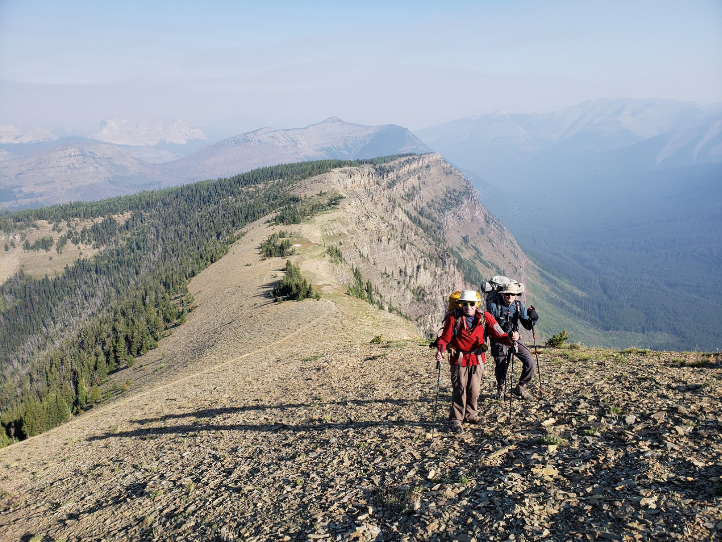
David and Brian on Avion Ridge in Waterton NP
It took about 25 minutes to Newman peak where we took another break while talking to another single runner and signing the slightly damp register. Since we were early, Evan walked 1 km to the next easterly hill, while Brian and David returned to the col and walked down to Goat Lake to cool off and soak our feet.
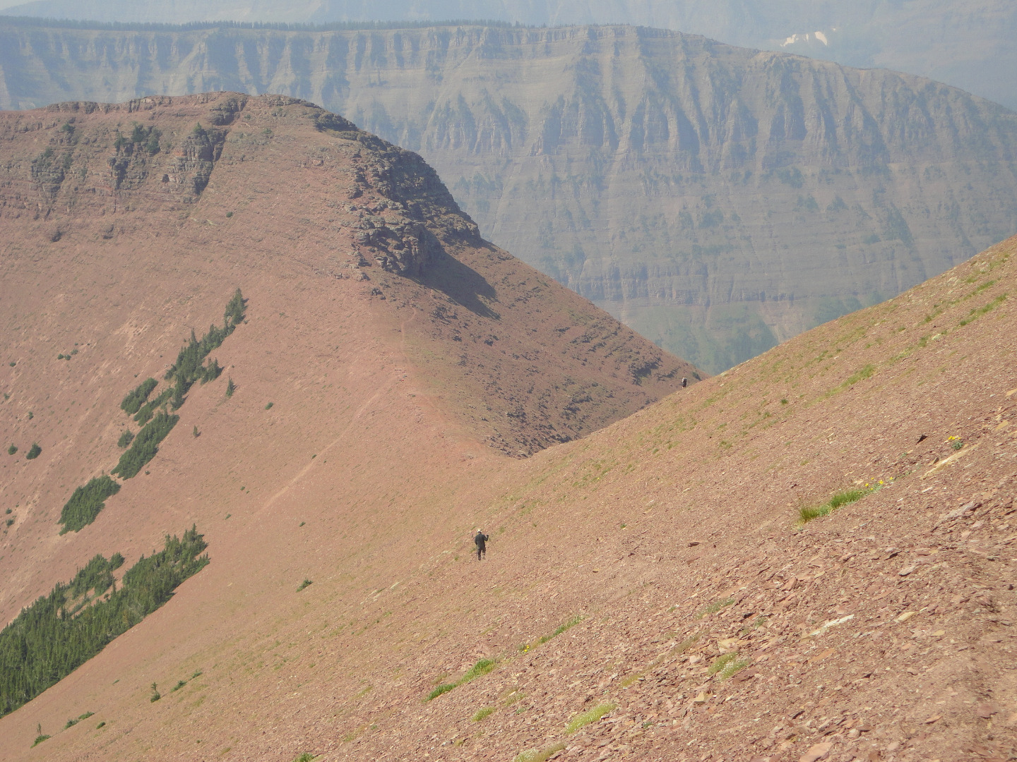
Brian descends off Newman Peak to the Avion/Newman Col in Waterton NP
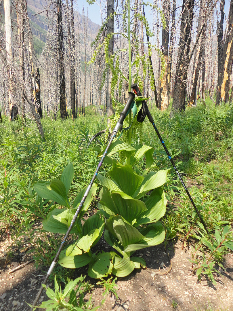
Mystery plant in Waterton Park, please identify to David: possibly Veratrum viride (false hellebore).
I changed into shorts before the descent back to the main snowshoe trail. While walking back to the busy parking-lot, we encountered several cyclists but none picked up hitch-hikers. It was +29c as we said our goodbyes, watching all shapes of people in skimpy attire crawling about the canyon. It was 3.30pm.
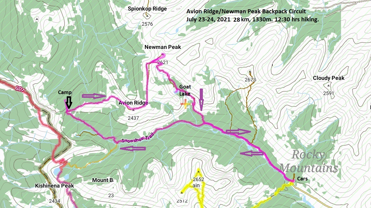
Screen shot map of Avion Ridge-Newman Peak backpack in 2021
Thanks to Evan and Brian from C&S David for their excellent company and photos. Since it is all "parks' grade trail" (TL3 or TL4), I think that this trip is very hike-able in either direction in a longish day. My GPS gave 28km, 1330 m elevation gain in 12:30hrs which included all breaks. (but not the overnight). This was a pretty easy exploratory backpack and I'm not fast.