Following Brian's good suggestion, we met by the Longview Information Centre at 8.30am to drive in convoy to park in the large signed Sentinel picnic area a few hundred metres east of unsigned Gunnery Creek and the Ramblers recommended parking by the road side. Apparently, with the Calgary ring road construction even getting to Longview is not straightforward from the SW quadrant of Calgary. But from north central Calgary, for more than a year I have followed Google maps which take me south down the Deerfoot, through Okotoks, west on highway 7 to Black Diamond and south on highway 22 to Longview. No problem, especially with the newly paved highway 22.
We started up the Gunnery Creek trail soon after 9.00am. We found the yellow flagged minor trail around Gunnery Mountain by using Bill's GPX. This trail led into the bowl at the bottom of the shaft on Holy Cross and sketchily onto it's east ridge.
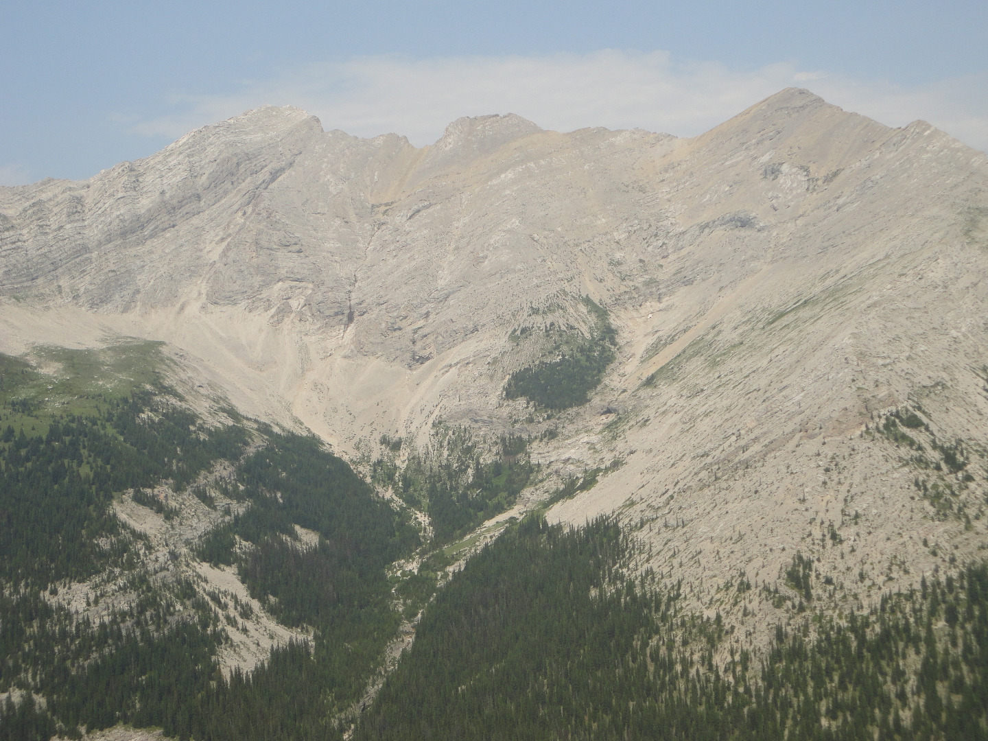
Mt Holy Cross from it's East Ridge
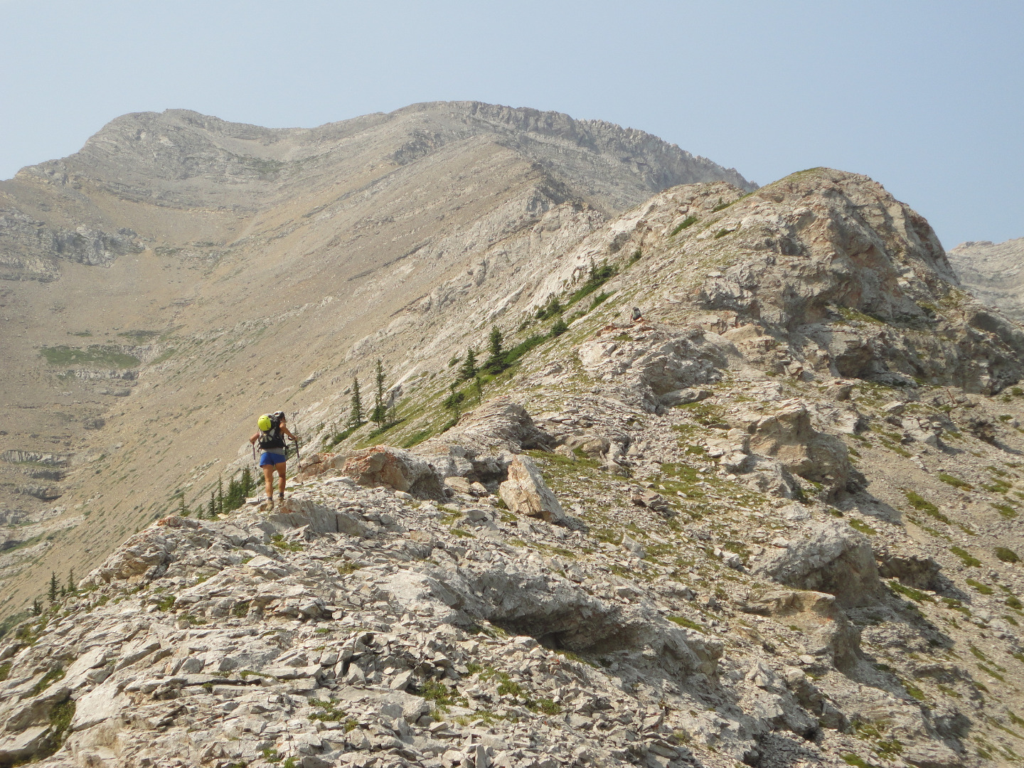
Susan on the East Ridge of Mt Holy Cross
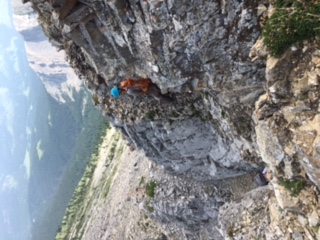
David above the crux chimney on the east ridge of Mt Holy Cross
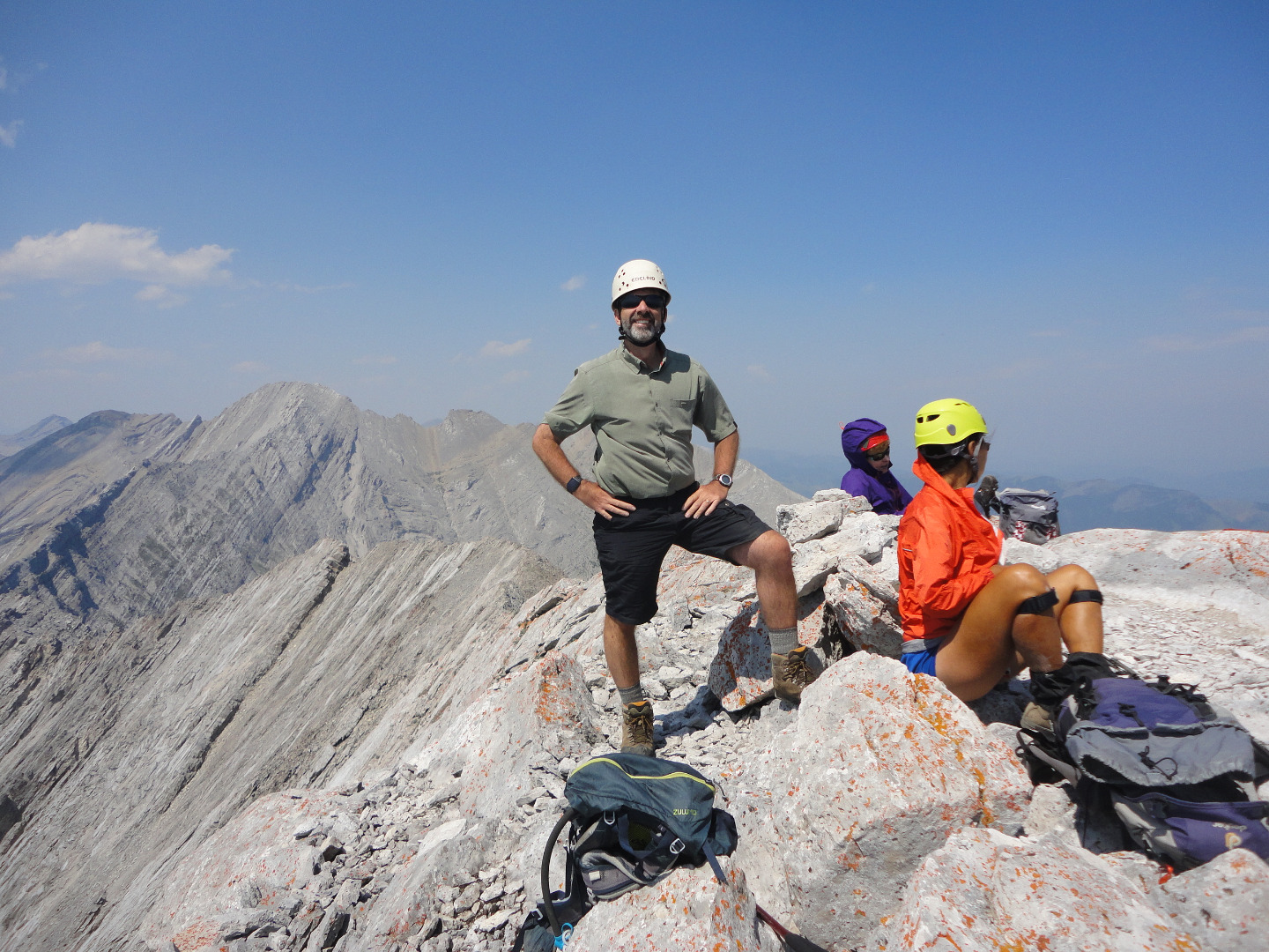
Mt Holy Cross summit: Brian, Jeannette, Susan
We enjoyed a late lunch (2.30pm) with reasonable views despite the smoke. We descended down the shaft's trail where where we found good running water and with some minor bushwhacking connected with the very visible morning's trail. Back at the cars about 6.00pm where it was +24c.
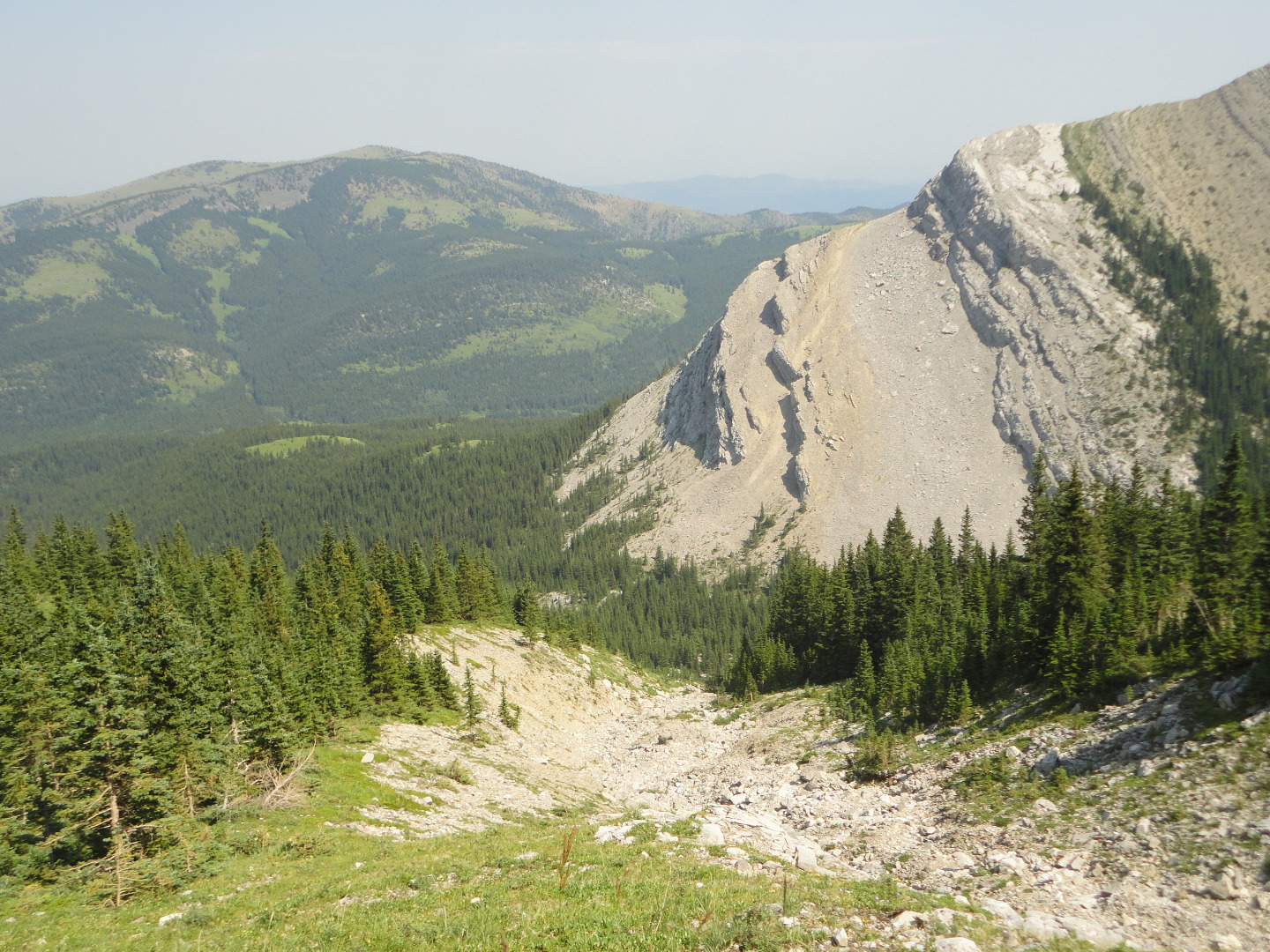
Descent down the shaft of Mt Holy Cross
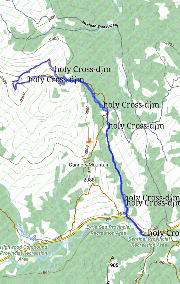
Mt. Holy Cross via Gunnery Creek
Thanks to participants: C,S&PDavid,photo Susan,Jeannette,GPS handlerBrian for a good day.