This hike was on the south side of highway 532, in the OHV zone directly across from the Kananaskis Country, but there was nobody else out there and no sounds of any kind of motor all day. This five-top ridge walk offered spectacular views all day, but despite being described in Gillean Daffern's latest revised guide book, there was no sign of previous human travel, outside of one beer can and one high quality watch we picked up. We had lunch on the third top, which is a beautiful sandstone outcropping with outstanding views. The descent from this spot, as correctly described in the book, could be classified as "Bushwhack Scramble 5." Gloves were essential as hanging onto trees and prickly juniper was the only way to get down. There is a second crux, though, which is the final, steep nose of the ridge, which drops down to the Johnson Creek trail. Here, Daffern warns that when the descent steepens you must look for a cutline to the left which is at right angles to the ridge and at an easier grade. The coordinator found this, but despite being only 30 metres below, the rest of the group adamantly insisted on continuing down the steep slope of square conglomerate scree rather than backtracking this short distance to get onto the better slope. This brutal slope was descended without mishap, except that the beating was too much for one participant's knee, and he had to drop out of the next day's intended hike. Back in the valley we just missed a thunder storm which dropped hail on our campground farther downstream.
The route was beautiful, but the guide book descriptions are pretty vague, and the intended escape route of the cutline extremely difficult to find. It was OT5, as predicted, and very difficult at that. Consequently, I would not recommend it.
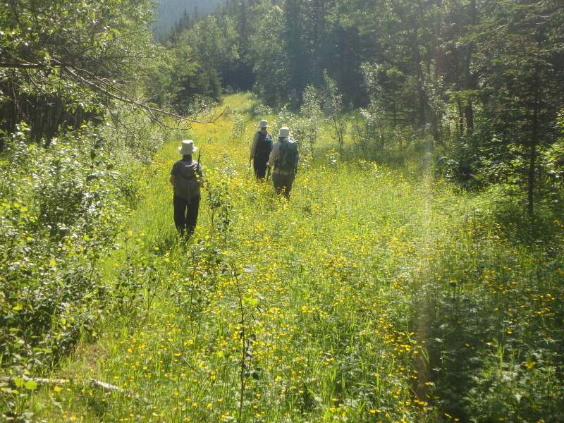
Buttercups along pipeline right of way
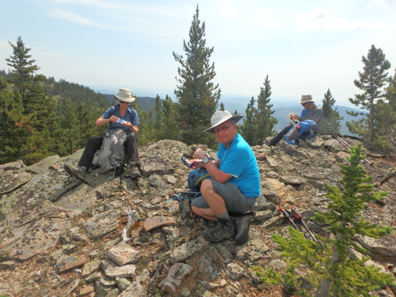
Snack stop along second ridge
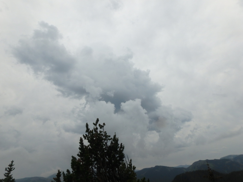
Weather coming in!
Participants: Rosanne,Philip,Christine,Carl,Yolande,Barbara,Lenard.