Since the previous day was so windy we decided not to do Wild Horse but to do the Hat instead.
Clifton
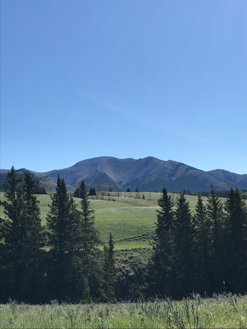
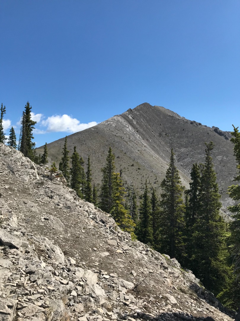
This leisurely day turned out to be an adventure in exploring. We started off from campground and followed the gps track and the horse track until it turned into a treed road which we followed for 7 km before skirting along the base of Hat Mtn. The horse trail narrowed down and became steep during the last three kilometes of climbing. Once again, we were impressed by the views.
Clifton
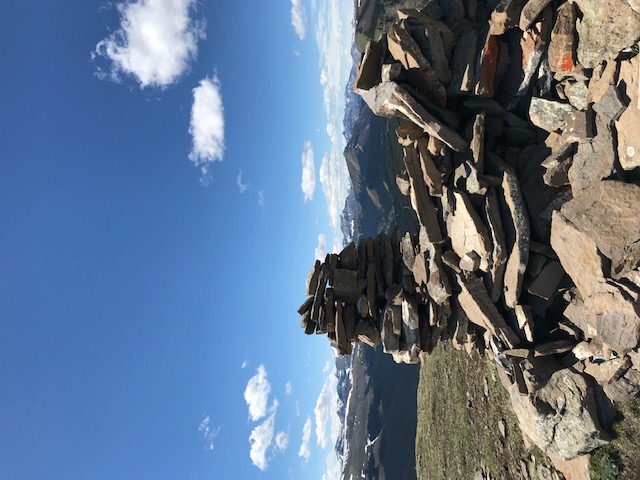
We summited Hat Mtn which was actually a very grassy hill; signed the register and followed the horse trail which we thought would lead us
Clifton
Unfortunately, the trail disappeared but we knew that as long as we were headed down we would intersect the road again which is what we did. The Hat is quite a few kilometres from the campground-no wonder they use horses but mountain bikes are also allowed. It was easy bush wacking since the forest was mature and the trees well spaced. A distance of 22 km 1034 m gain
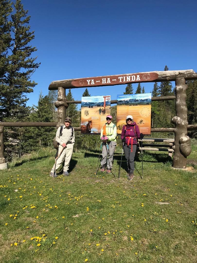
Back at the camp, we decided to leave the next day. The camp was getting busier with the horses and large support vehicles. Eastern Slopes is a volunteer organization which runs the camp and the volunteer membership for the group was $30.00. We had a really wonderful time iin this spectacular area. Thanks to Shirley, Janice and Clifton for their company and support. and photos. Thanks also to Yolande for helping with the itinerary and suggesting this area