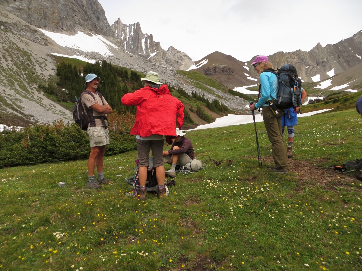
Those carpooling (with masks) and others driving by themselves met up at the Elbow Pass Traihead shortly after 8:30AM. All managed to get a parking spot. We departed the Parking lot at 8:45AM and the group made it to Elbow Lake fairly quickly.
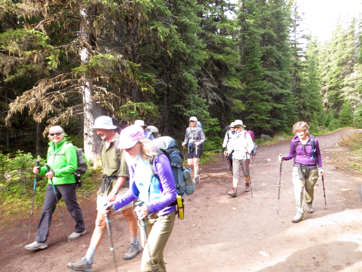
Quick warm up going up to Elbow Lake from the Trailhead
From Elbow Lake along the Big Elbow Trail to the Edworthy Falls turnoff (marked with a Cairn) is about 3.4 km and about 400m beyond that is the turnoff to Piper Pass (also marked with a Cairn).
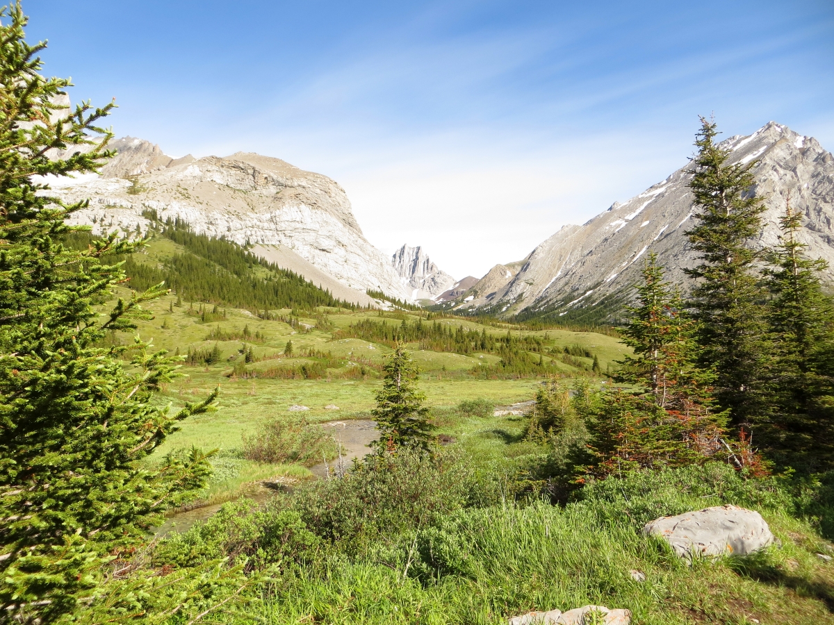
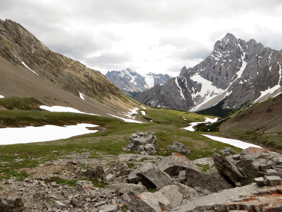
Valley to Piper Crk & Pass, Tombstone Mtn on Right
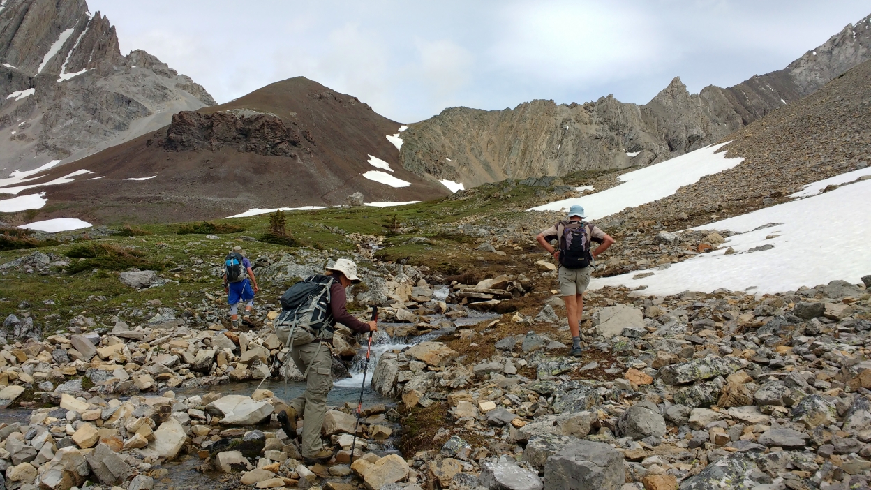
We arrived at the Elbow River crossing in about 170m and most opted to remove ther footwear, with the water being 1.5 feet deep. The other creek crossing were minor or in the case of the Piper Creek crossing there were convenient fallen trees to help.
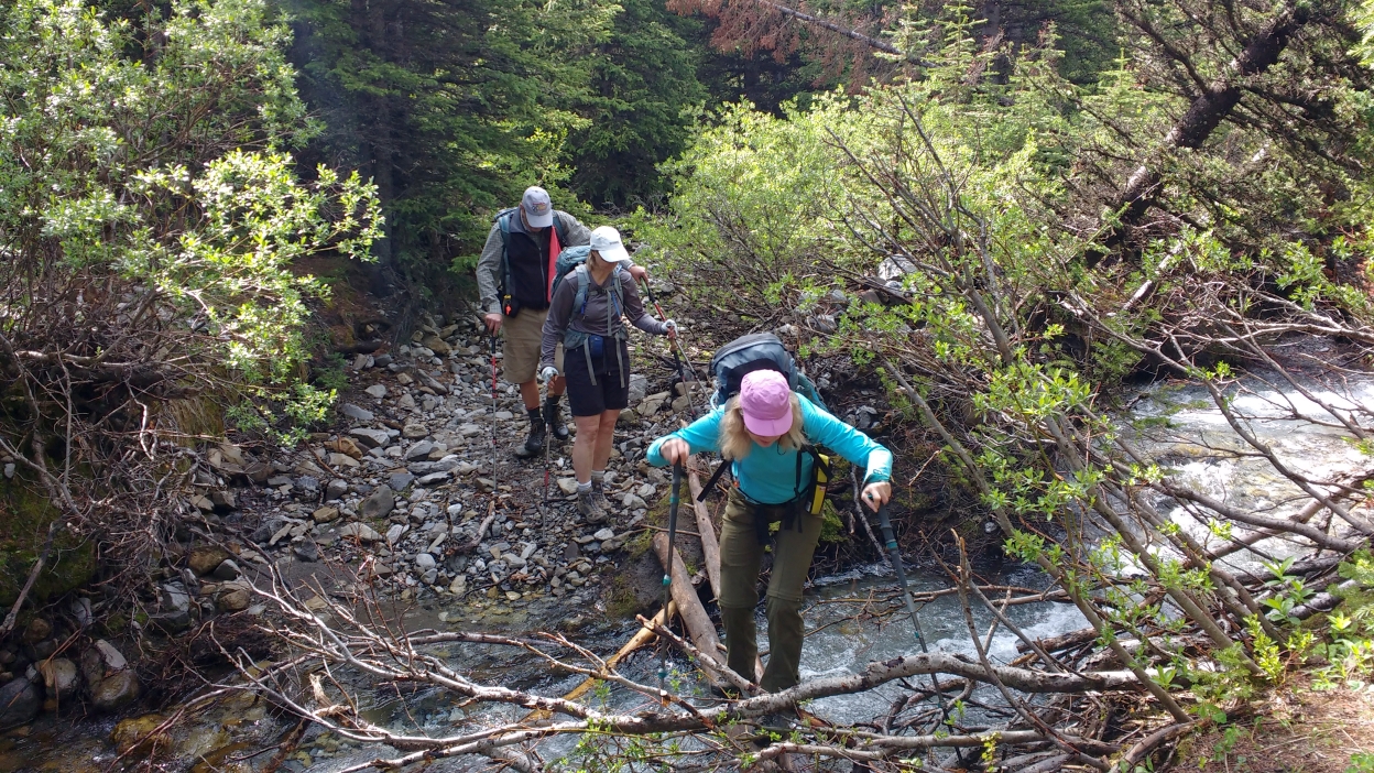
The second major water crossing with convenient trees
In many places there was a lot of water flow and erosion on the trail through the trees. The weather stayed as intermittent cloudy for most of the day and the wind picked up as we left the trees. It is hard to beat the many spectacular views you get on this hike.
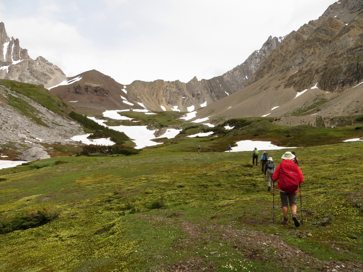
Our valley approach with Piper Pass just left of center above the little snow patch
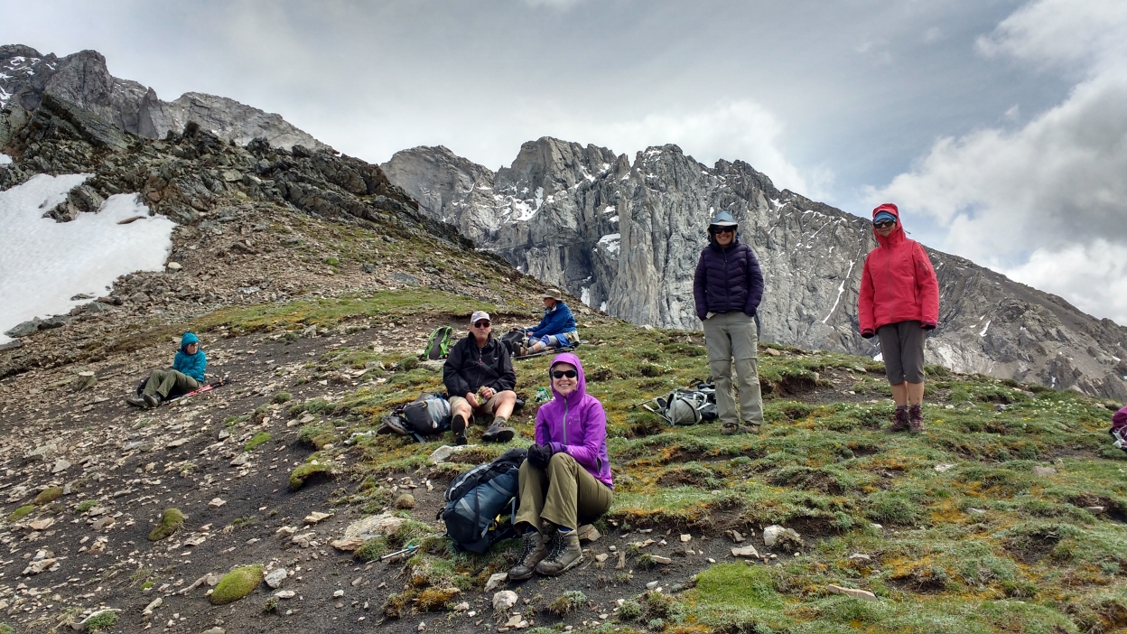
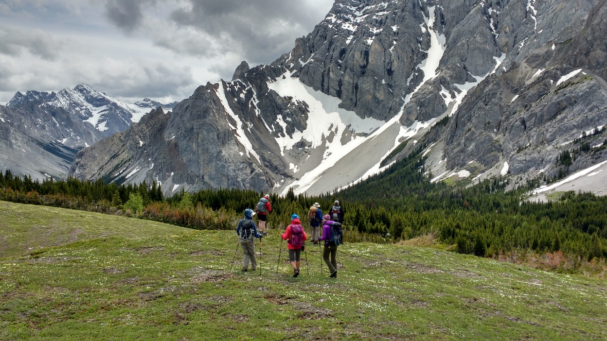
A Break on the meadow to Piper Pass
Picking our way through the numerous streams
Lunch on Piper Pass
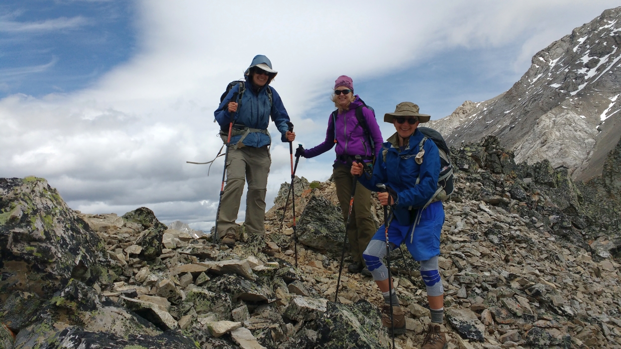
Short side trip to High Point just North of Piper Pass
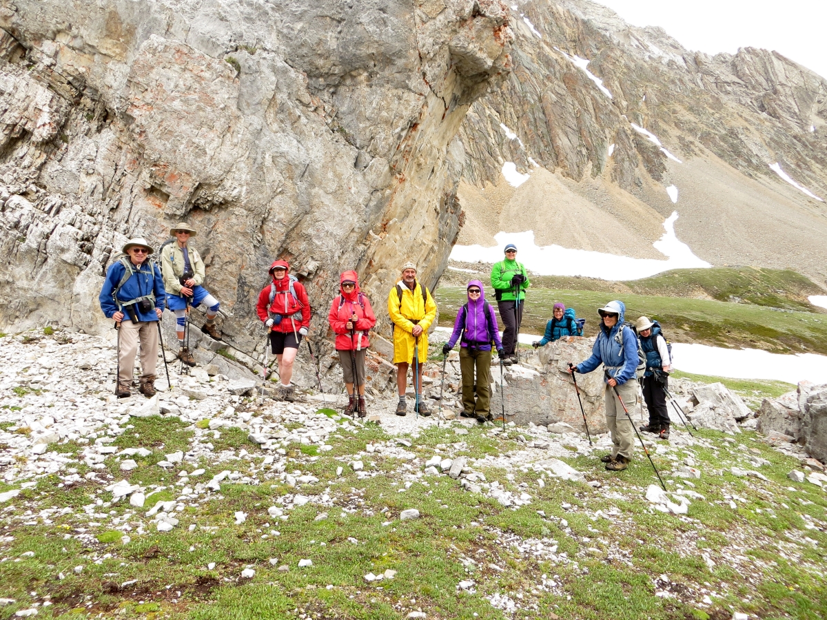
A re-group at the giant boulder below the Pass
Our view from the boulder looking back out of the valley
Our stroll back down retracing our way back
We returned back to the cars at 5:05PM. The hike was 20.3 km long.
Elevation data on the elevation profile below.
Thank you Teresa for the many photos and thank you to the participants: Francisco, Phyllis, Jeannette, Susan, Teresa, Katrin, Jo, Donna, Ingrid, David for joining me Harold on this trip.
The Grid # in the RMR database for Piper Pass is incorrect. It should be Grid # 391178
This is based on a measure UTM coordinate for Piper Pass of:
11U 639126 5617802 This is the map reference number from which the Grid # is derived.
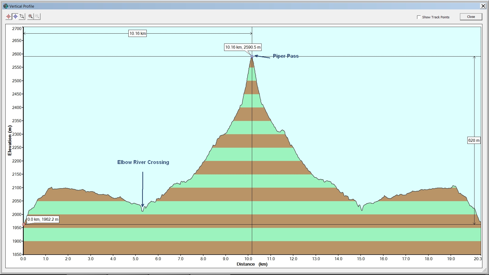
Elevation Profile Piper Crk & Pass Hike