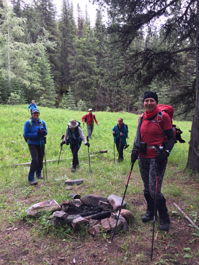
We started out from the Cat Creek trailhead under cloudy skies, minus 2 Ramblers, a Canmorite dissuaded by local early morning rain and another whose whereabouts was a mystery. We experienced slight spitting rain for much of the day, but never enough to get us wet. Heading northward, we passed by an old coal mine and random camping areas.
Random camping spot along the creek
Good trail for first portion of the trip (photo courtesy Cristina)
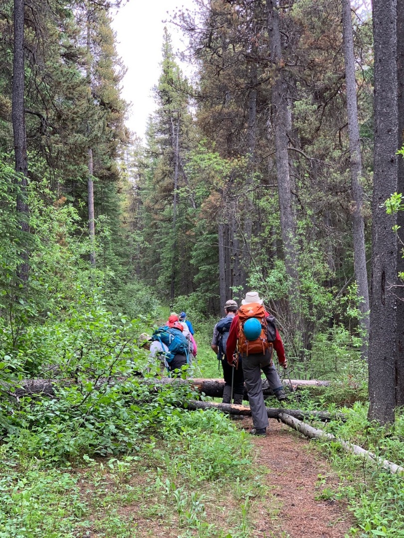
The trail was in great shape for the first 3 km, until just before the upper east fork of Cat Creek, when it suddenly disappeared. Uncertain of the terrain above us, we detoured close to the creekbed.
Trail washed away from recent floods (photo courtesy Cristina)
Approach detour; avoided on return by sticking to the trees above escarpment
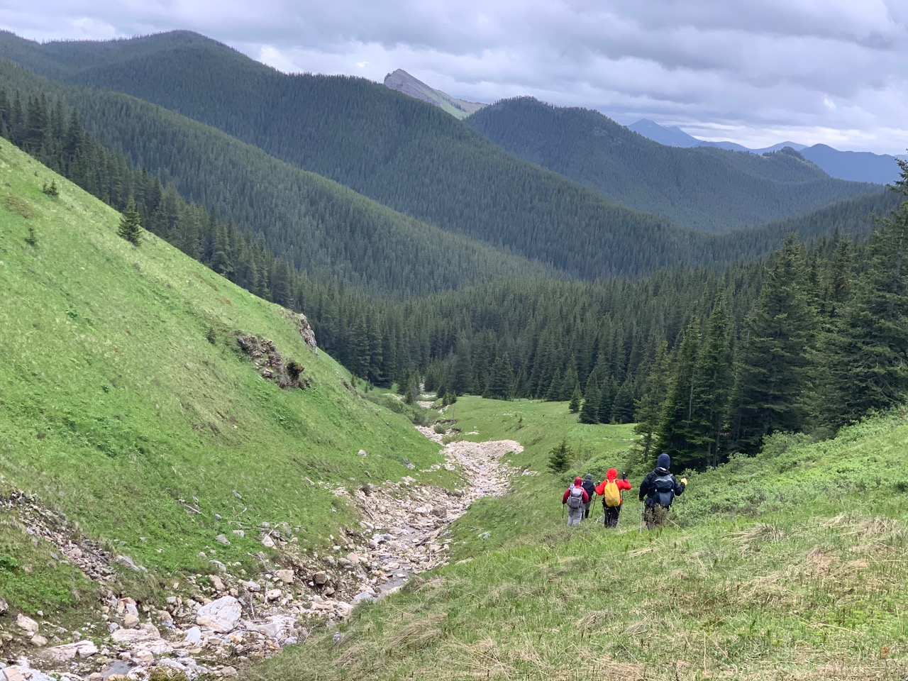
The remaining trail segments of the east fork were often bushy with many obstacles which slowed down our progress considerably.
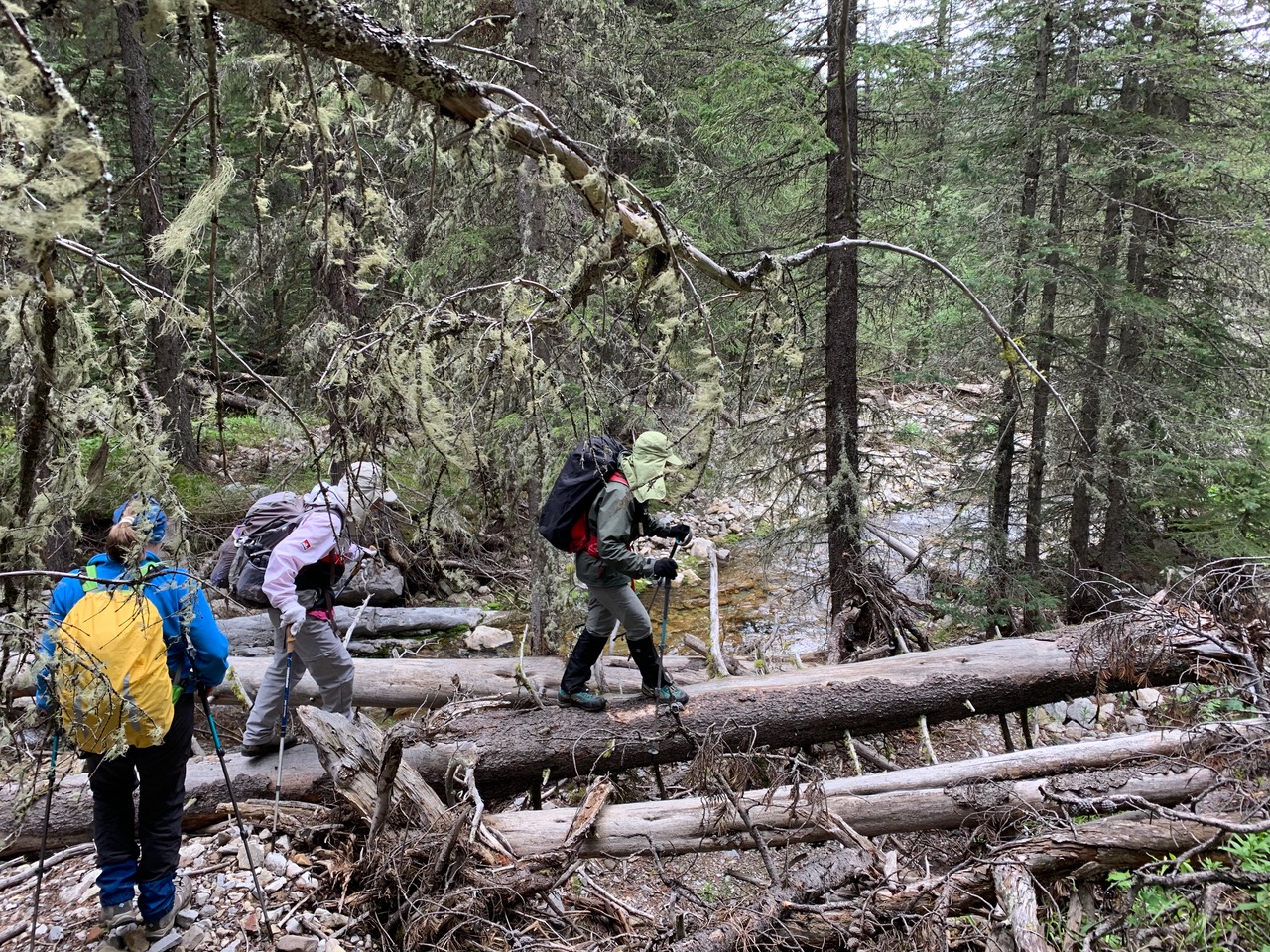
Typical terrain along creek's east fork (photo courtesy Cristina)
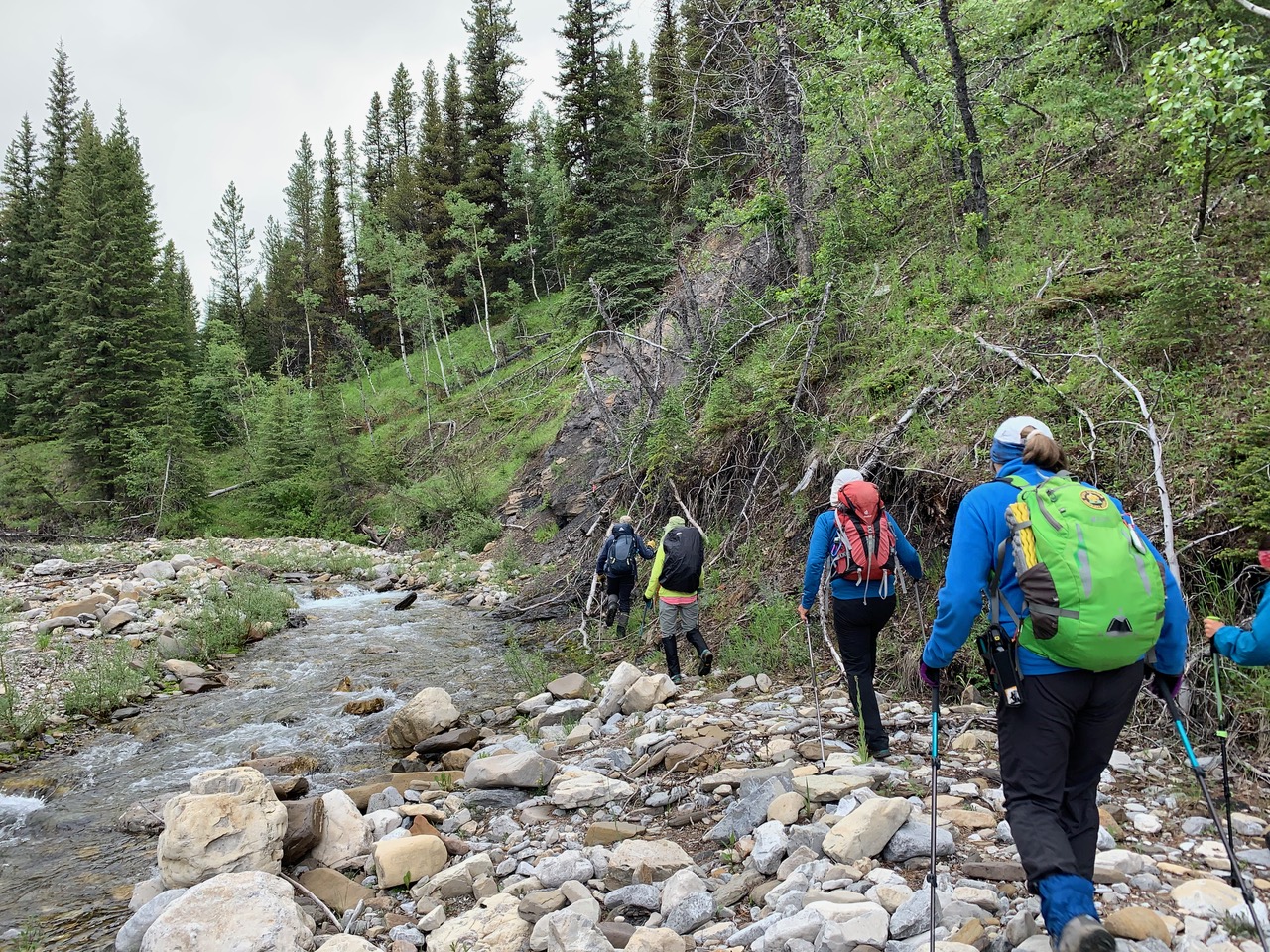
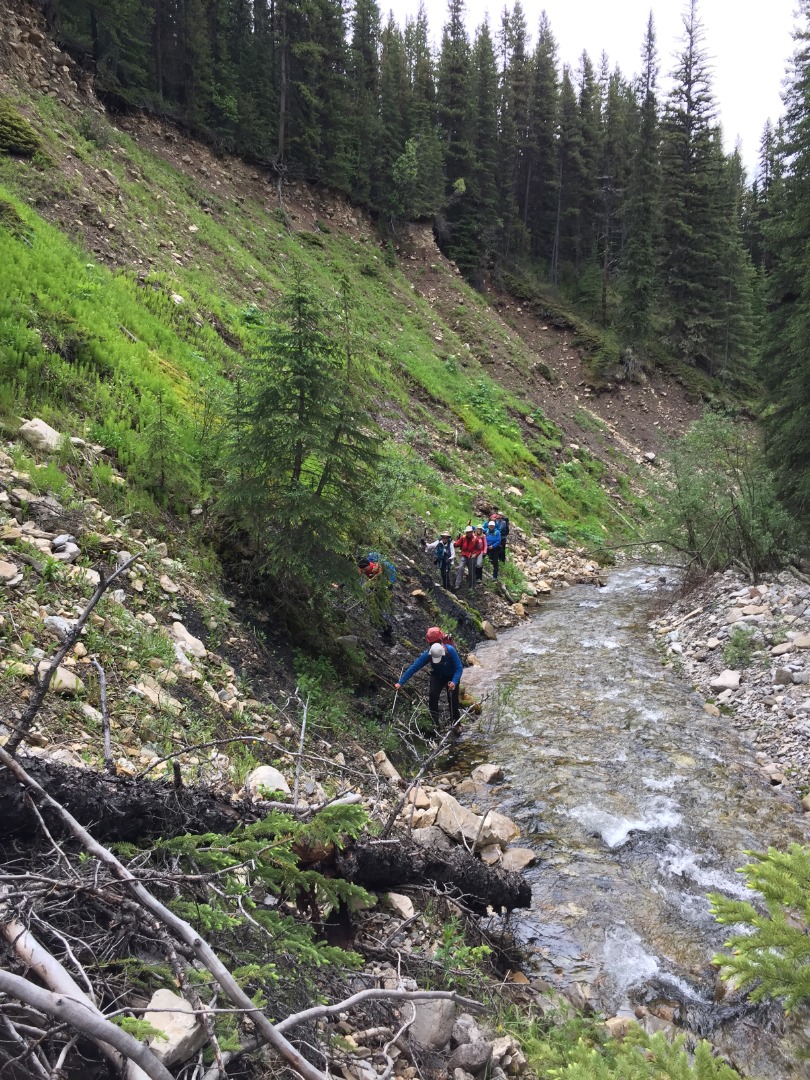
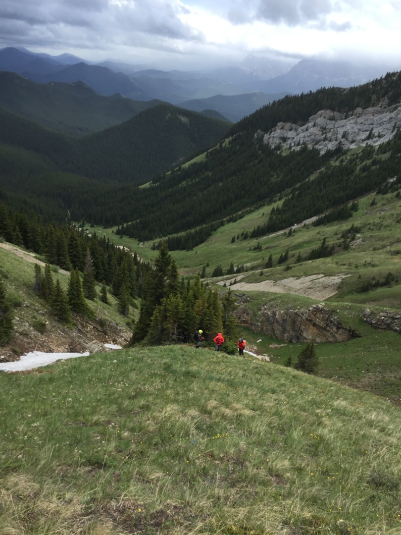
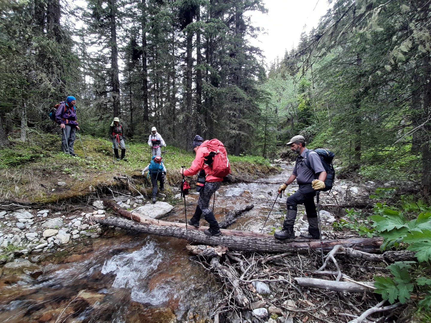
We were eventually forced to cross to the north side of the creek or face much elevation gain on its south side. Most crossed successfully by rock hopping at the narrowest point we could find, except a Guest who hurt her knee on a slippery rock. Though not injured seriously enough to warrant medical attention, she was unable to continue the trip, so headed back under the capable care of Ricardo and John, whose self-sacrifice made it possible for the rest of us to carry on. Right around this time, our trailhead mystery was solved as Sim miraculously caught up to us. The trail along the north bank wasn't much better, but following it eastward at least brought us through the rocky narrows to the correct spot in the dense trees for us to start heading up a ridge into the valley that eventually became grassy and open, revealing our approach route.
Beginning the ascent above the valley (photo courtesy Teresa)
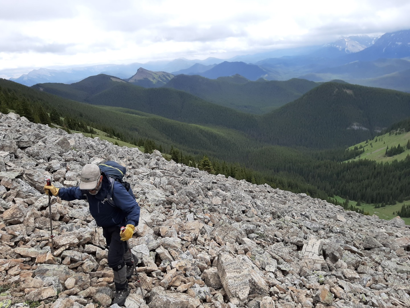
We ascended steep green slopes that soon turned rocky, then slabby just before the summit.
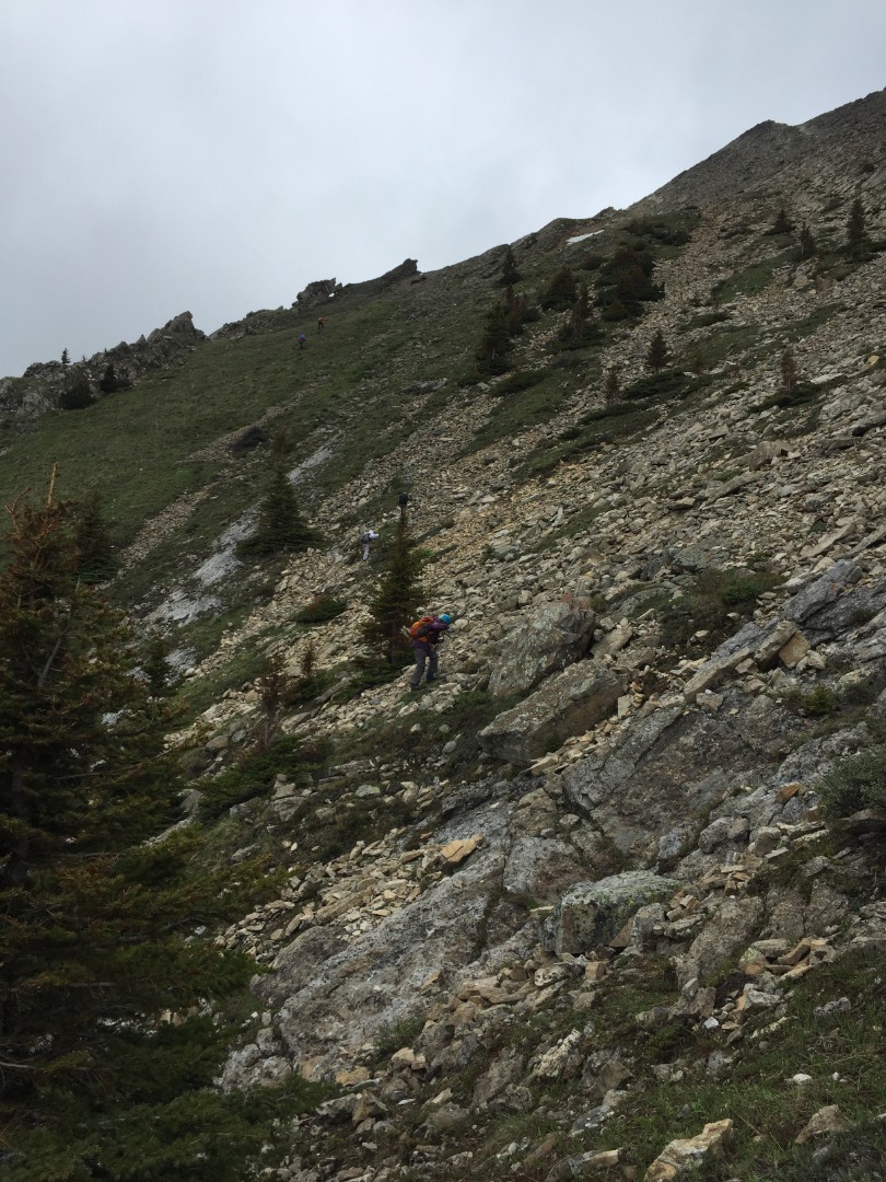
Correct route up is just right of the window, center-left on the horizon
Having learned from Bob Spirko's trip report, we didn't want to head up to the ridge too soon only to be forced back down to traverse below steep slabs. Nevertheless, the temptation foiled the summit bid for some. 5 Ramblers made it to the ridge, but the wind was so strong that 2 went back. Only 3 made it to the actual summit for an abbreviated visit.
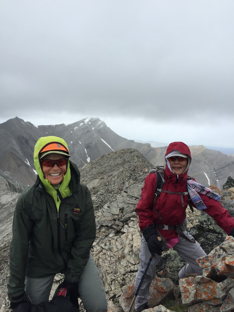
Alda and Sim on the summit
Our descent direction was towards the SW col, but the stiff wind convinced us to head down to more protected environs instead for a long overdue lunch break.
Grassy descent below slabs
Beautiful valley; Junction Hill in the distance (center) (photo courtesy Cristina)
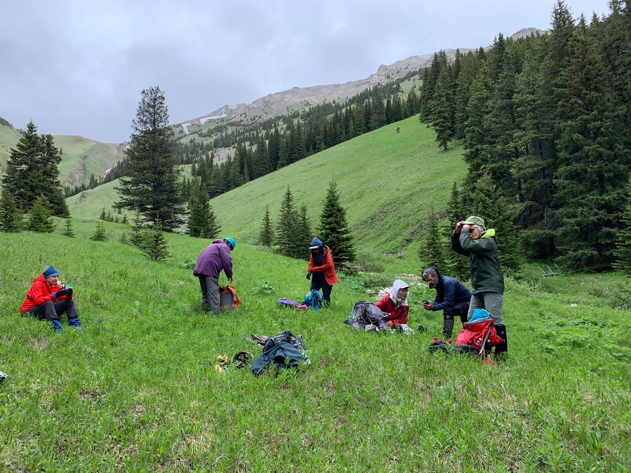
Lunch break out of the wind (photo courtesy Cristina)
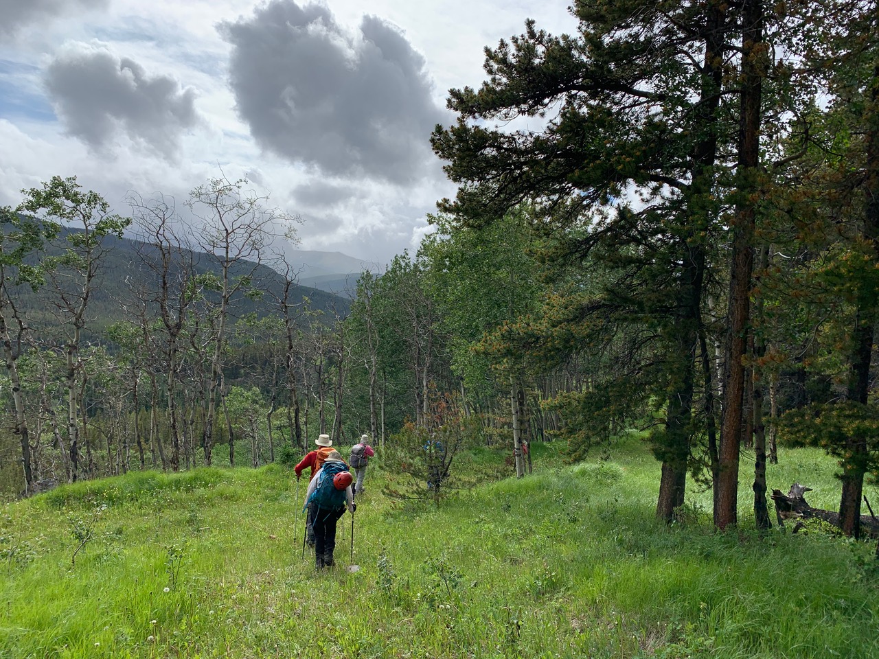
Mostly open woods down to Cat Creek's east fork (photo courtesy Cristina)
We side-hilled to the right (SW) as a short-cut to minimize the time spent in the trees. Back on the degraded trail of Cat Creek east fork, we avoided the ill-fated creek crossing and built a 2-log bridge at a better spot slightly downstream.
Ramblers-engineered bridge (photo courtesy Teresa)
Then, when we were on the south side of the east fork, we bushwhacked through easy open woods to avoid the washed-out trail detour (this is an important lesson-learned for anybody attempting this trip in the future - when the main trail disappears, head up the escarpment to bypass it). Once on the main trail again, it was a pleasant hike back to the cars. Our 19 km trip of 1,200 m cumulative elevation gain took almost 10 hours.
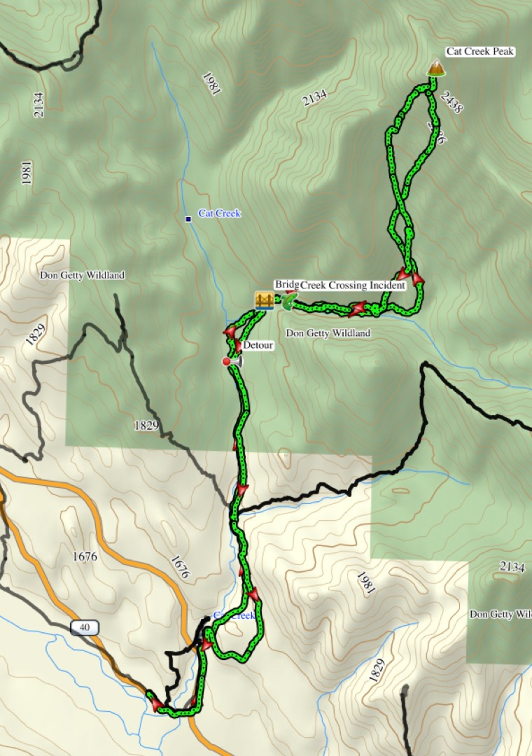
Our route
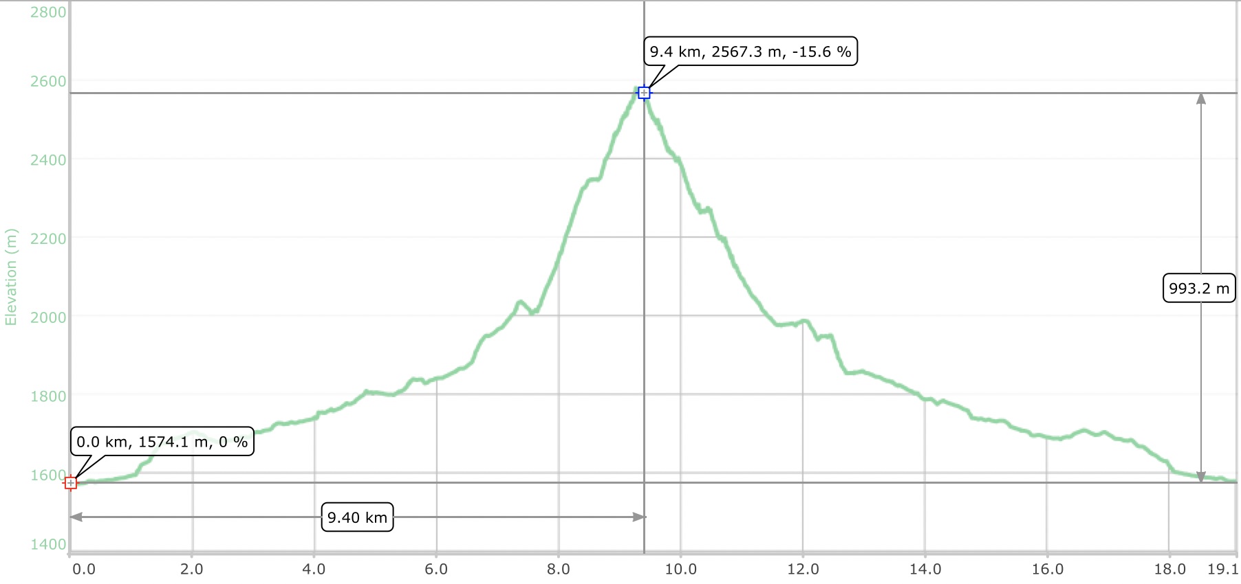
Trip stats
Participants: Sim,David,Ricardo,Alda,John,Jeannette, Teresa,Cristina, and guest, Yana.
Brian, Coordinator