This trip was an experiment to see if a reasonable counter-clockwise loop could be made from the Rainy Creek lay-by near the falls, by combining Powderface Ridge with Mustang Hills. Turns out it can, with a few recommended tweaks. Our first hurdle was finding the trail after the Coordinator was seduced by the open swath that is clearly visible from the road when driving up the big hill. It turned out to contain a mix of deadfall and rehydrated cow paddys. The correct trail, which we eventually found, starts off closer to the creek on the NW side of the highway. At the high point of the defined trail, we were in an open meadow / cutblock and could see our route up Powderface Ridge.
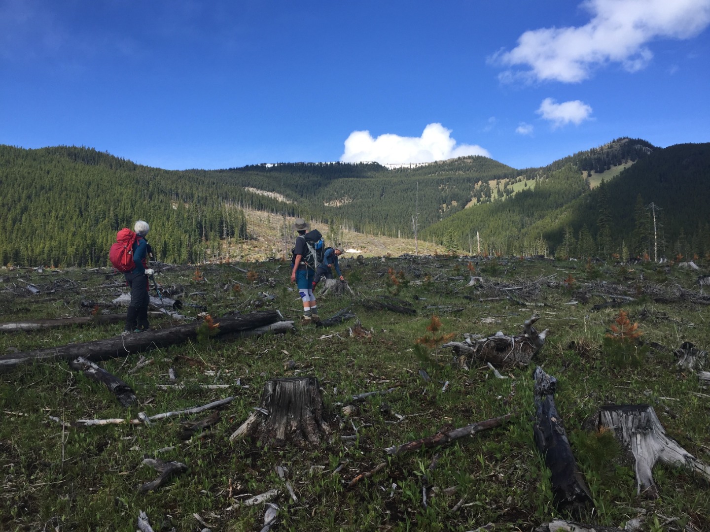
Cutblock view of ascent route up to rocky bump on far right
The Coordinator chose to head for the rocky outcropping to look for scramblling opportunities.
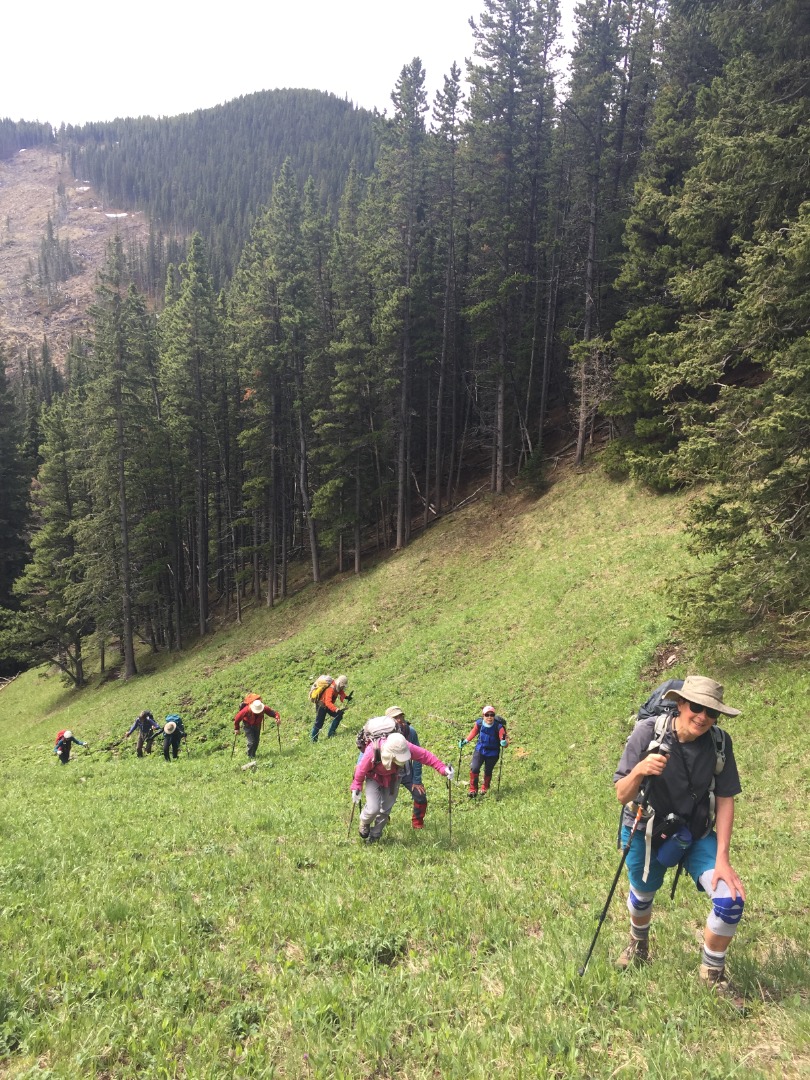
Steep ascent in meadow
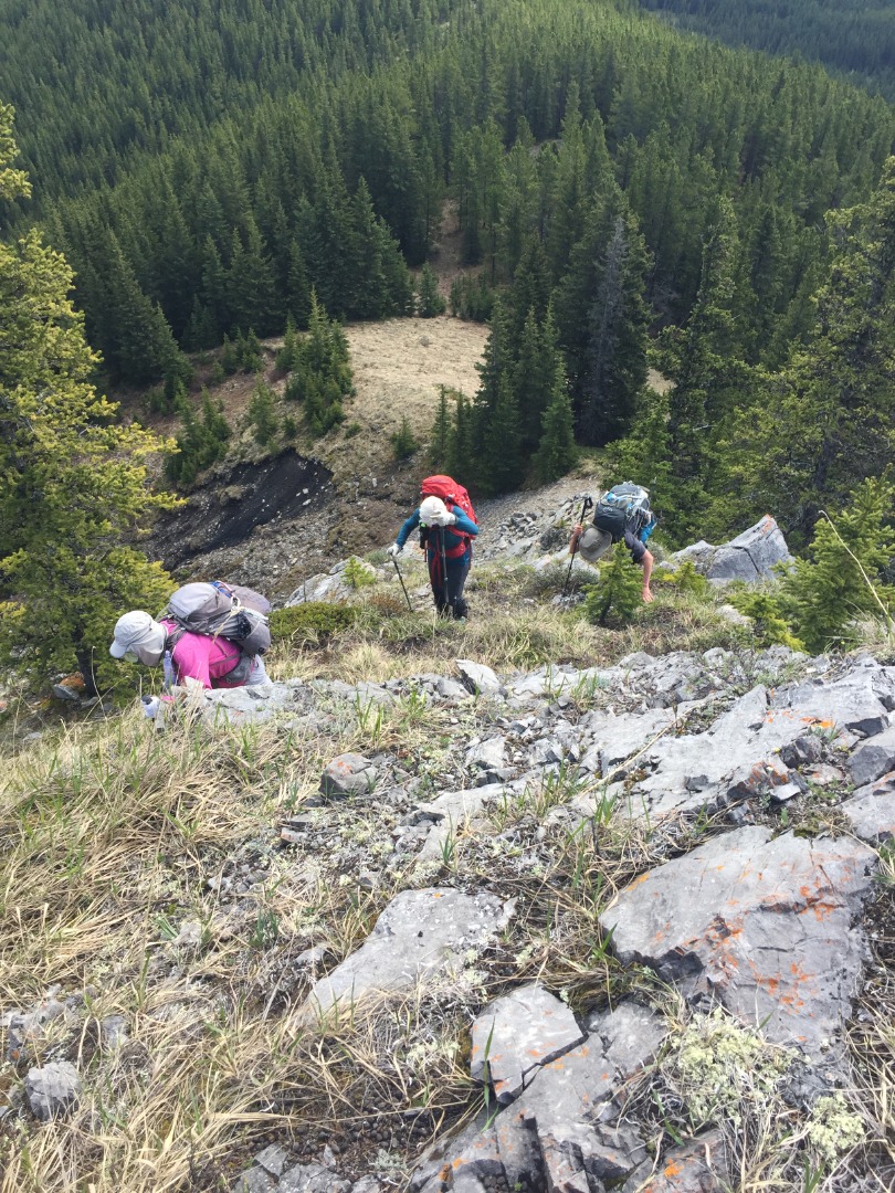
Scramble section; easy detour on the south side
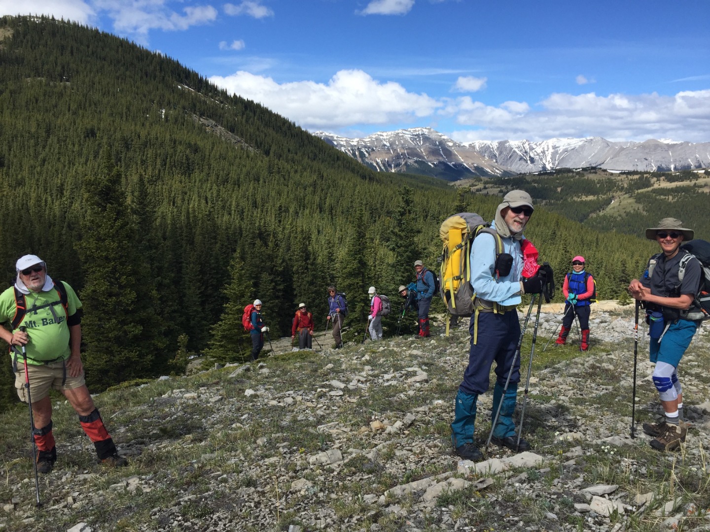
Rest break above the rocky outcropping on east ridge
The treed section just below Powderface north still had some snow patches, but we were able to navigate around most of it. There's a cliff band just before the top, which has an easy way through, as well as other more interesting options to go up. We had lunch on top (actually just below the top to avoid a cold NW wind), then walked all the way to the south summit before dropping steeply down to the saddle leading to Rainy Summit "Peak".

Walking along south section of Powderface Ridge
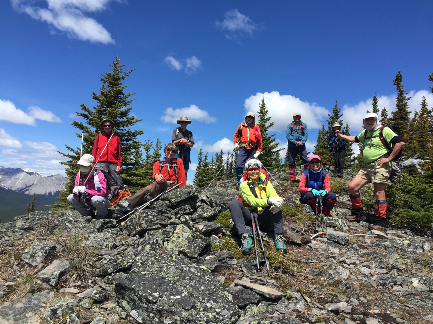
South Summit
After a break, we hiked down to the highway and crossed over to the Mustang Hills. Despite recent logging, the trails were in excellent condition, just with more open views. After briefly visiting West Peak and Center Peak, we dropped down to Rainy Creek to take a peek at the lovely hidden waterfall there.
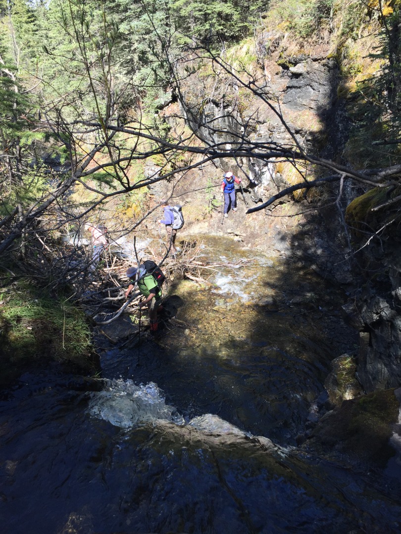
Looking down from above Rainy Creek Falls
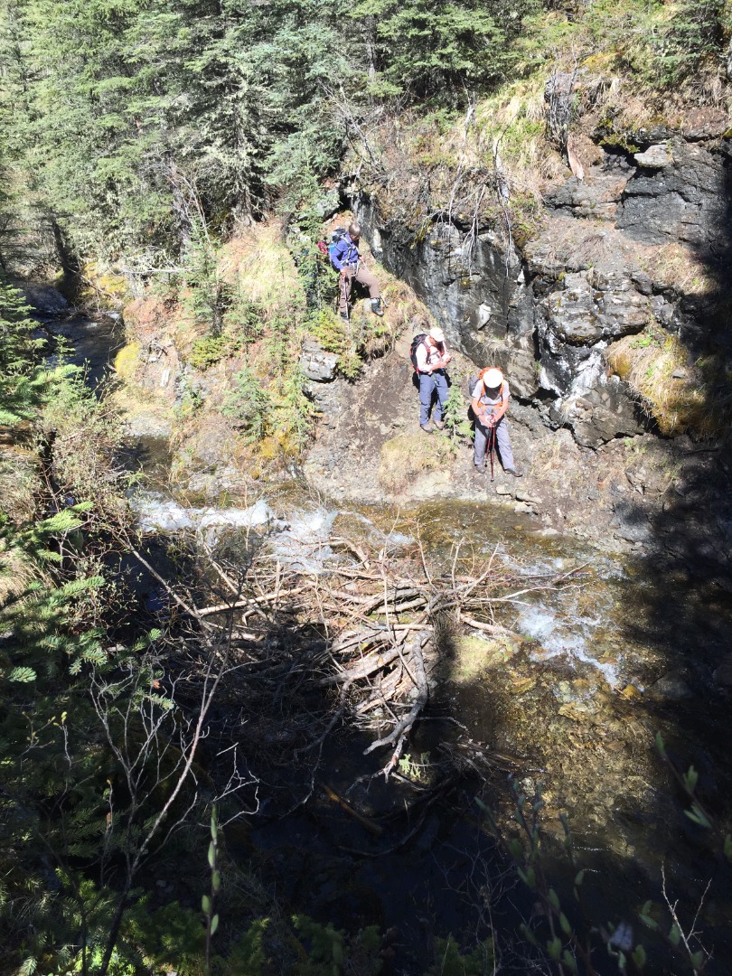
Creek crossing below falls
At a very leisurely pace, we were back at the cars almost 7 hours later, having hiked 14 km with 900 meters total elevation including all the ups and downs.
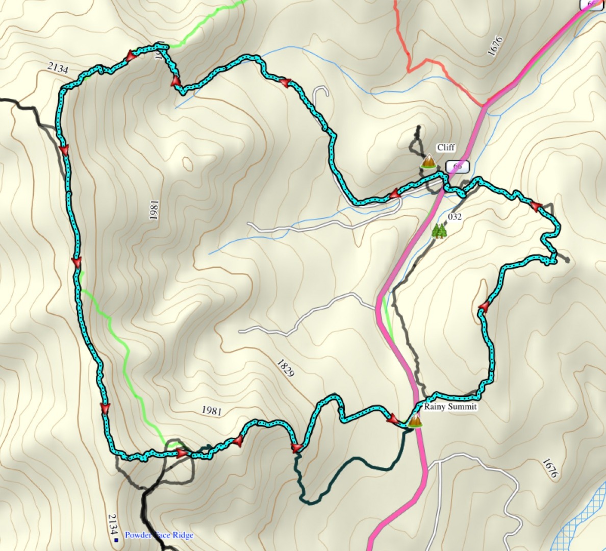
Powderface Ridge Mustang Hills Loop Route (blue)
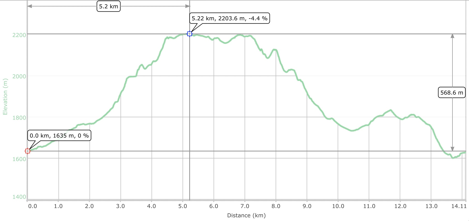
Elevation graph
This was an exploratory trip for all attendees who were great sports in putting up with the navigation challenges.
Participants: Sim,David,Arnold,Yolande,Ricardo,Alda,Ivan,Jeannette,Yoko, and Ingrid.
Brian, Coordinator